
Exploring the Heaphy Track A Comprehensive Analysis of New Zealands Most Diverse Great Walk and its Regional Significance
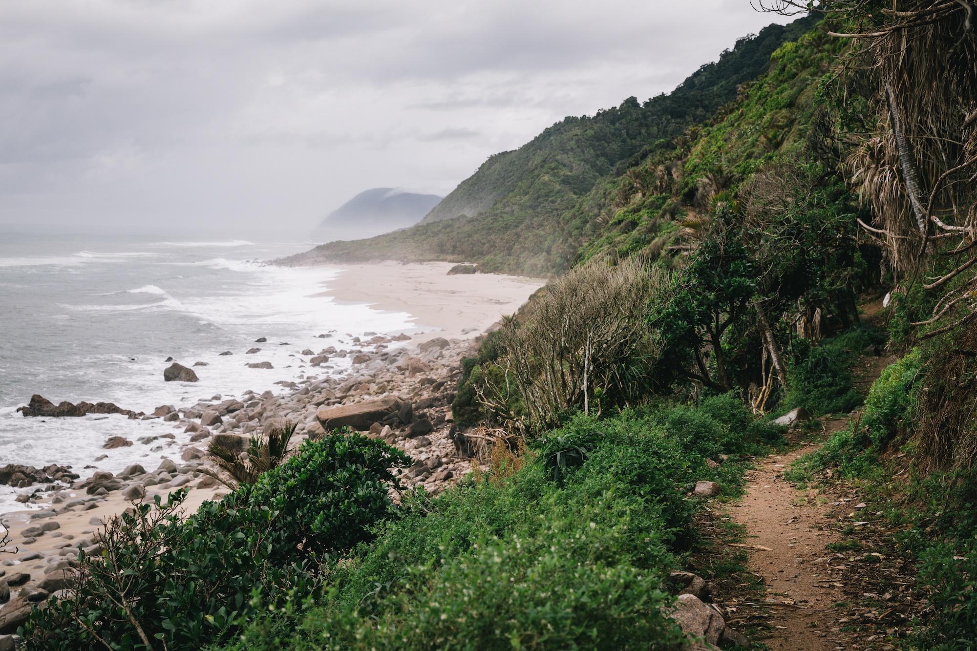
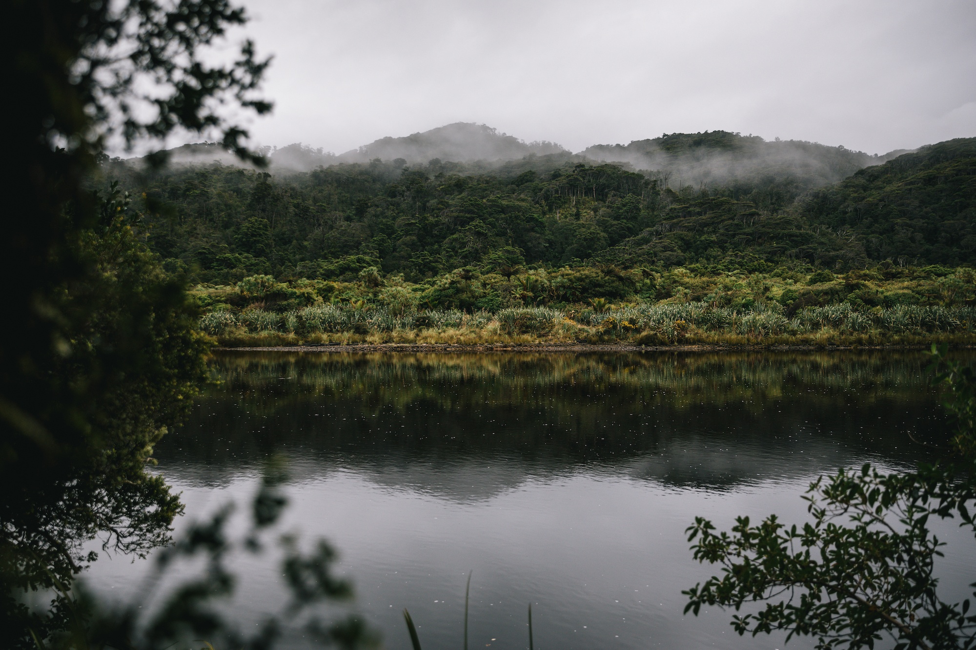
The Heaphy Track, situated within the expansive 452,000-hectare Kahurangi National Park, represents one of New Zealand’s most significant environmental and recreational assets. As one of the country’s ten "Great Walks," a designation managed by the Department of Conservation (DOC), the track serves as a critical link between the West Coast and the Golden Bay regions of the South Island. Stretching approximately 78 to 84 kilometers depending on specific entry points and modern GPS calibrations, the Heaphy Track is renowned for its remarkable ecological diversity, traversing rugged coastlines, lush nikau palm forests, and expansive alpine tussock downs. Unlike many other alpine routes in New Zealand, the Heaphy Track is characterized by its accessibility, featuring a gradual elevation profile that makes it a premier destination for both multi-day hikers and, seasonally, mountain bikers.
The Infrastructure of New Zealands Great Walks
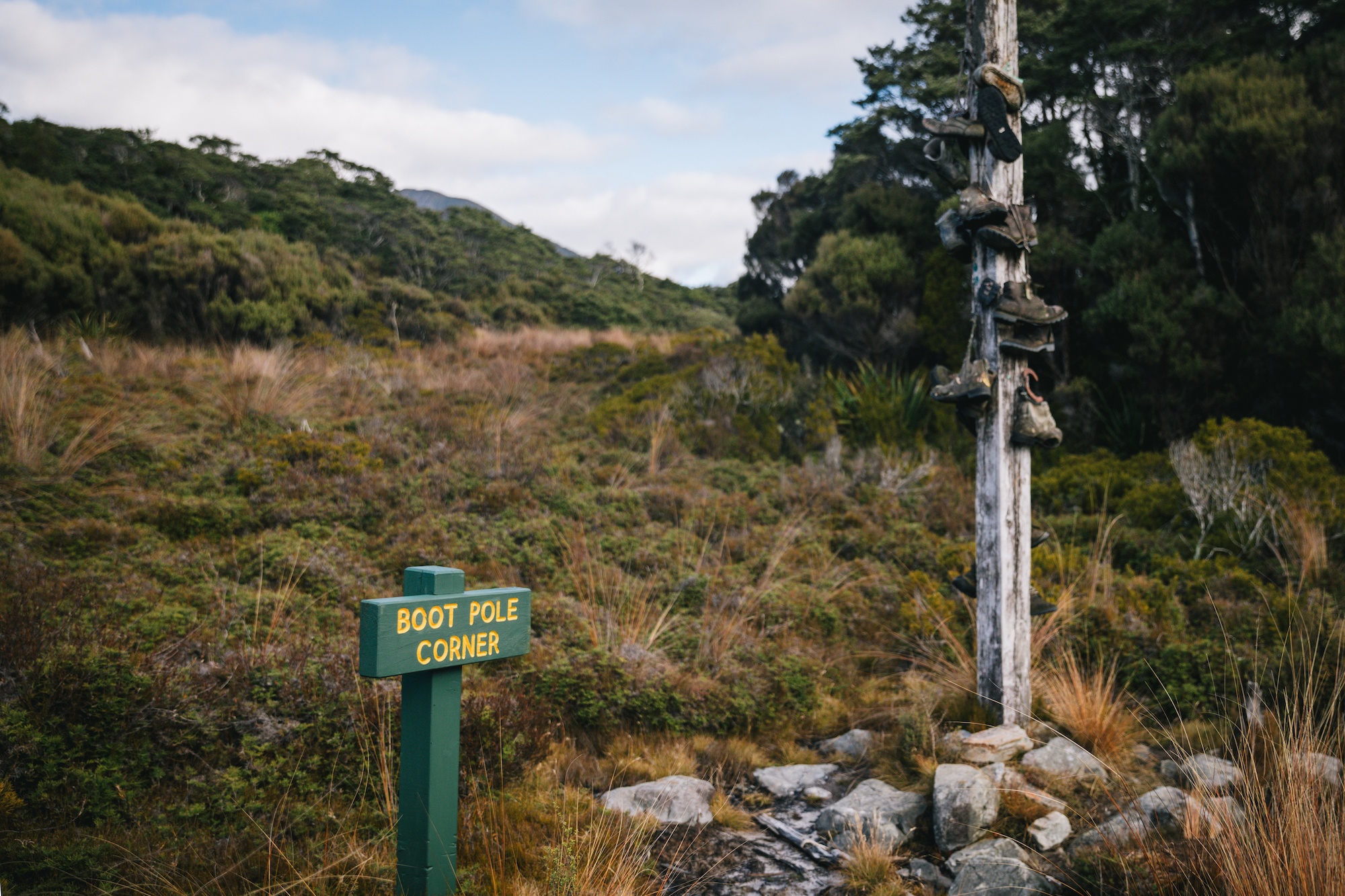
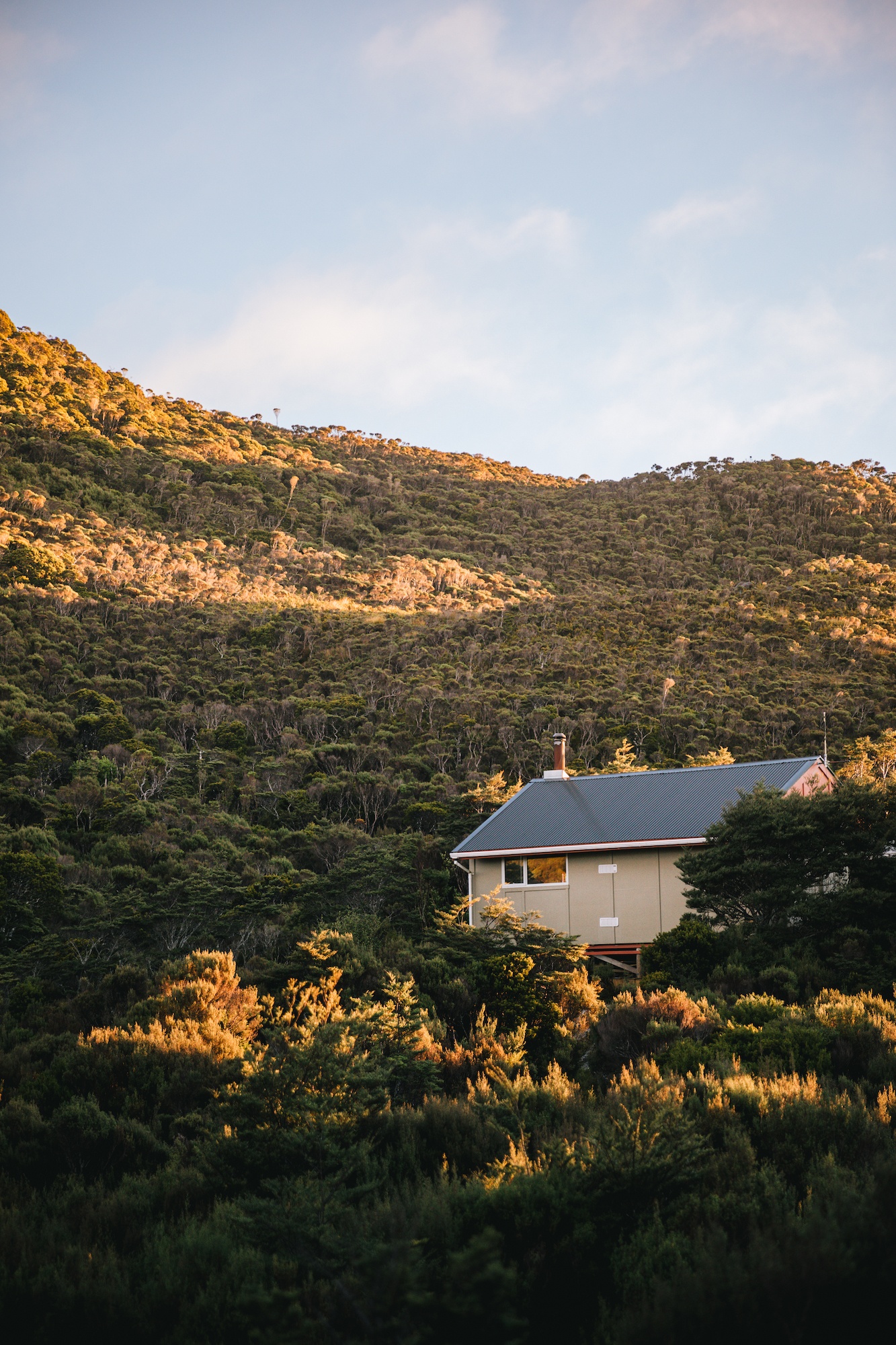
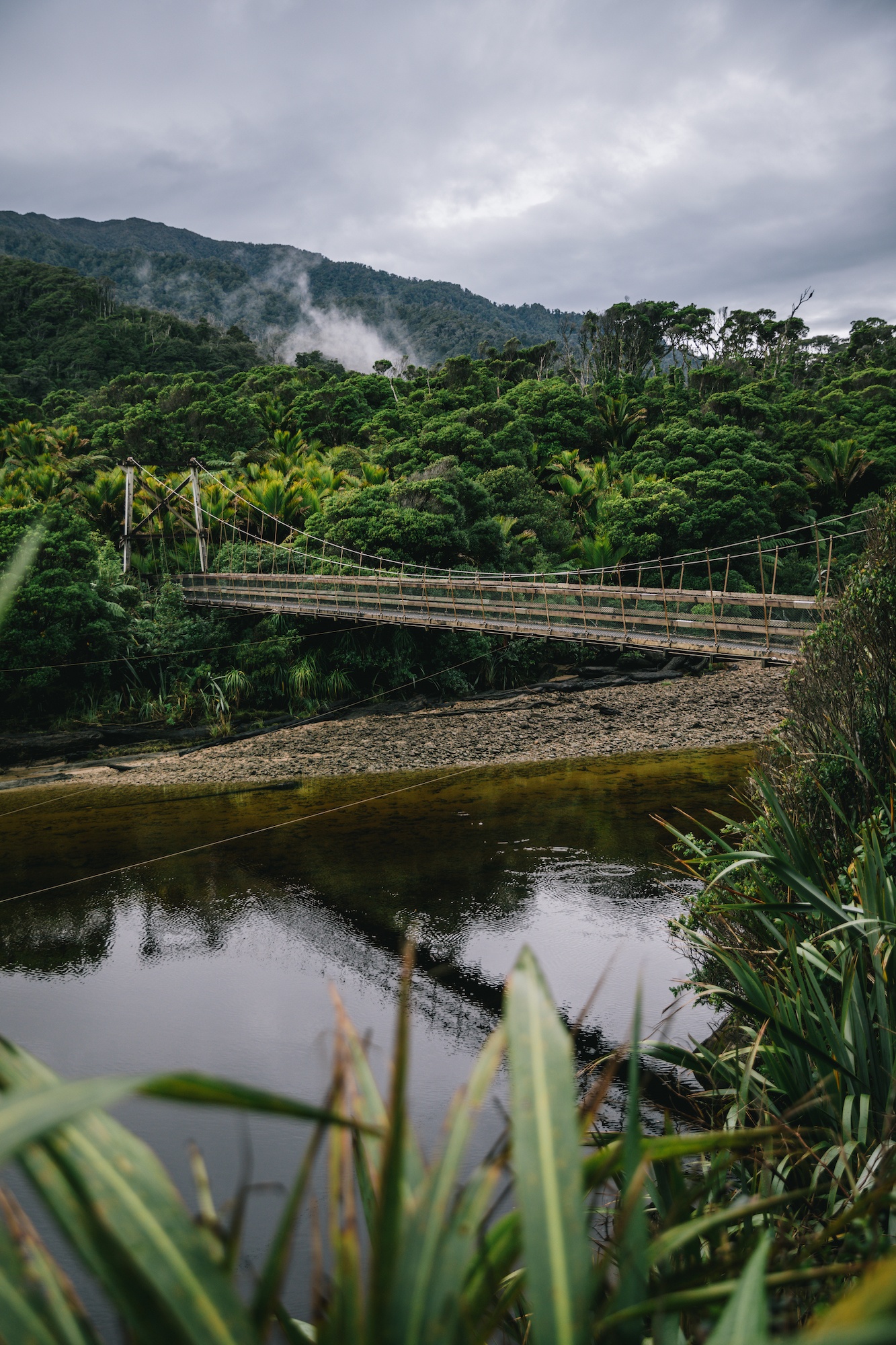
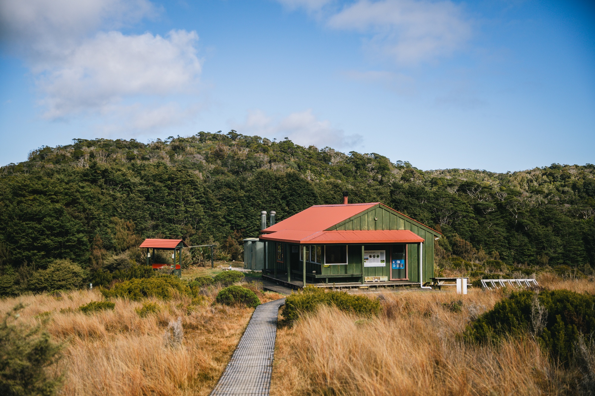
The Great Walks network was established by the Department of Conservation to showcase New Zealand’s premier landscapes while providing high-standard facilities to manage the environmental impact of high visitor numbers. The Heaphy Track benefits from this specialized infrastructure, which includes well-maintained trails, substantial bridges, and a series of serviced huts. These huts, such as those at Perry Saddle, Saxon, James Mackay, and the Heaphy River mouth, offer amenities far superior to standard backcountry tramping huts. Facilities often include gas cooking stoves, heating, solar lighting, and, in some locations, flushing toilets.
This level of infrastructure necessitates a specialized booking system and a higher fee structure compared to the broader network of over 900 backcountry huts. During the peak season, which generally runs from October through April, the huts frequently reach capacity months in advance. The economic model of the Great Walks is designed to funnel revenue back into the maintenance of these high-use corridors and the protection of the surrounding wilderness.
Geographic and Logistic Challenges
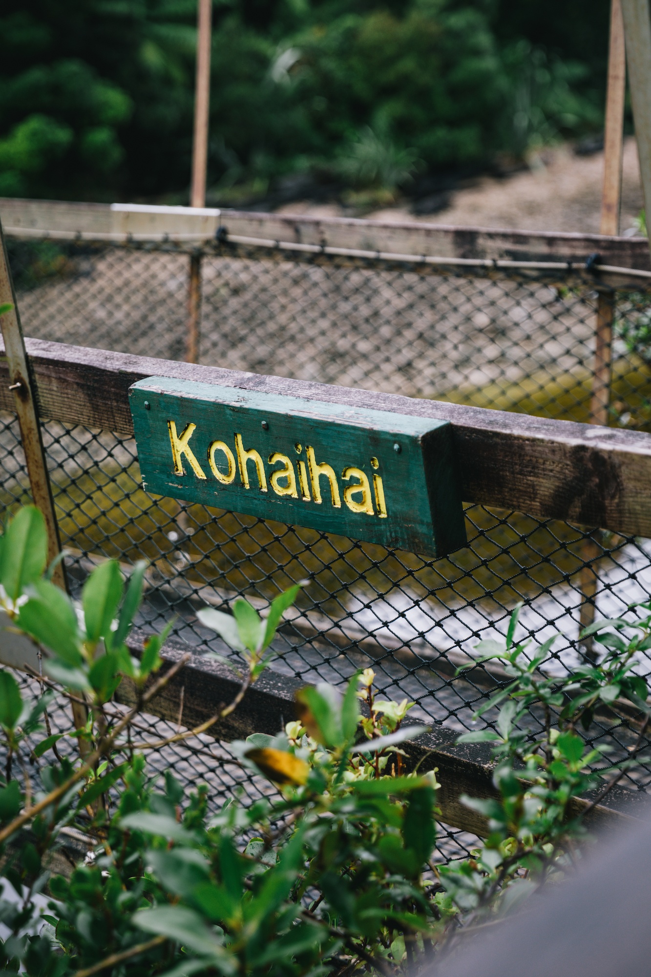
One of the defining characteristics of the Heaphy Track is its "horseshoe" logistical profile. The trailheads are located at Kohaihai on the West Coast and Brown Hut in the Aorere Valley of Golden Bay. While the walking distance is roughly 80 kilometers, the driving distance between these two points is approximately 450 kilometers, requiring a seven-to-ten-hour journey by road. This geographical reality creates a significant hurdle for solo travelers and groups without support vehicles.
To address this, a niche transport economy has developed around the track. Companies like Golden Bay Air have streamlined the experience by offering integrated flight and shuttle services. These operations allow hikers to fly between Karamea and Takaka, effectively bypassing the grueling road journey. The use of small-scale aviation is a common feature of New Zealand’s wilderness logistics, providing essential connectivity to remote regions like Karamea, which has a population of fewer than 400 residents. The cost of vehicle relocation services, which can exceed $500 NZD, further incentivizes the use of air transport and local shuttles, contributing to the regional economies of both the West Coast and Tasman districts.
Chronology and Historical Context
The route followed by the modern Heaphy Track has been utilized for centuries. It was originally an ancient trail used by Māori to transport pounamu (greenstone) from the West Coast to the north of the South Island. In the mid-19th century, European explorers, including Charles Heaphy and Thomas Brunner, began surveying the area. Heaphy, after whom the track is named, explored the coastline in 1846, though he never actually traversed the entire inland route that the modern track follows.
The track’s formal development began in the late 1800s as a pack track for miners during the gold rush era. However, it wasn’t until the 1960s and 70s that it gained prominence as a recreational tramping route. A significant turning point occurred in the 1970s when a proposal to build a coastal road through the area was defeated by a massive conservation campaign, leading to the preservation of the wilderness and the eventual formation of Kahurangi National Park in 1996.

In recent history, the track has faced significant environmental challenges. In February 2022, a major storm event caused catastrophic flooding in the region, destroying the bridge over the Heaphy River and damaging several other sections of the trail. This led to a partial closure of the track for over a year. The Department of Conservation invested millions of dollars in resilient infrastructure, including the construction of a new, higher-clearance bridge, which officially reopened the full through-trip in late 2023.
Biodiversity and Conservation Milestones
Kahurangi National Park is a global hotspot for biodiversity, and the Heaphy Track provides a front-row seat to several unique species. The area is home to the Powelliphanta, a genus of giant carnivorous land snails that can grow to the size of a man’s fist. These snails are highly endangered and represent an ancient lineage of Gondwanan origin.
The most significant conservation success story on the Heaphy Track involves the takahē, a large, flightless bird once thought to be extinct. In 2018, the Department of Conservation released a population of takahē into the Gouland Downs area of the track. This marked the second wild population of takahē established in New Zealand, a critical step in the species’ recovery. Prior to this, wild takahē were only found in the Murchison Mountains of Fiordland. The presence of takahē on the Heaphy Track is a testament to the intensive predator control efforts in the park, specifically targeting stoats, rats, and possums that threaten New Zealand’s native birdlife.
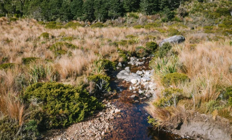
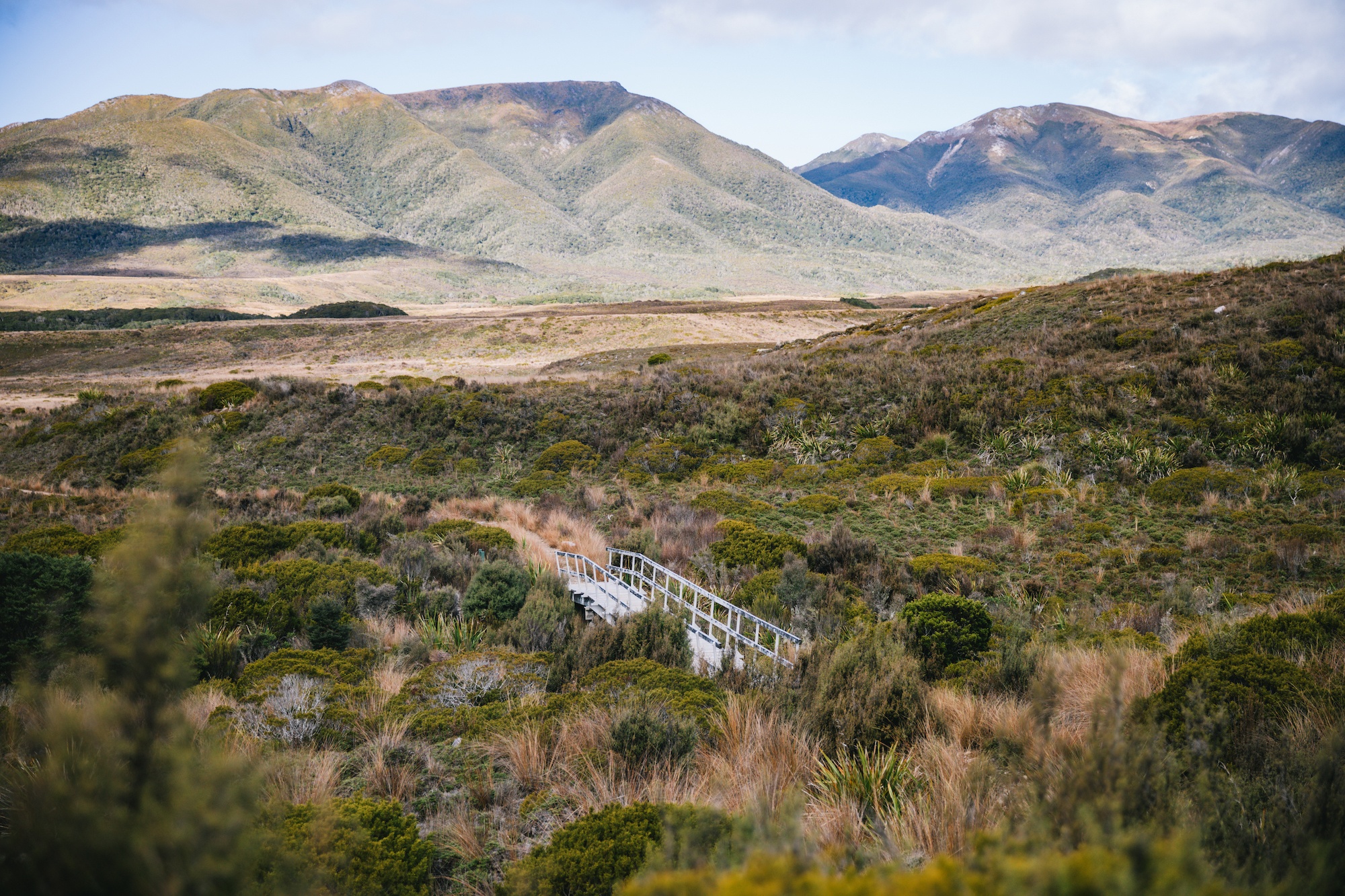
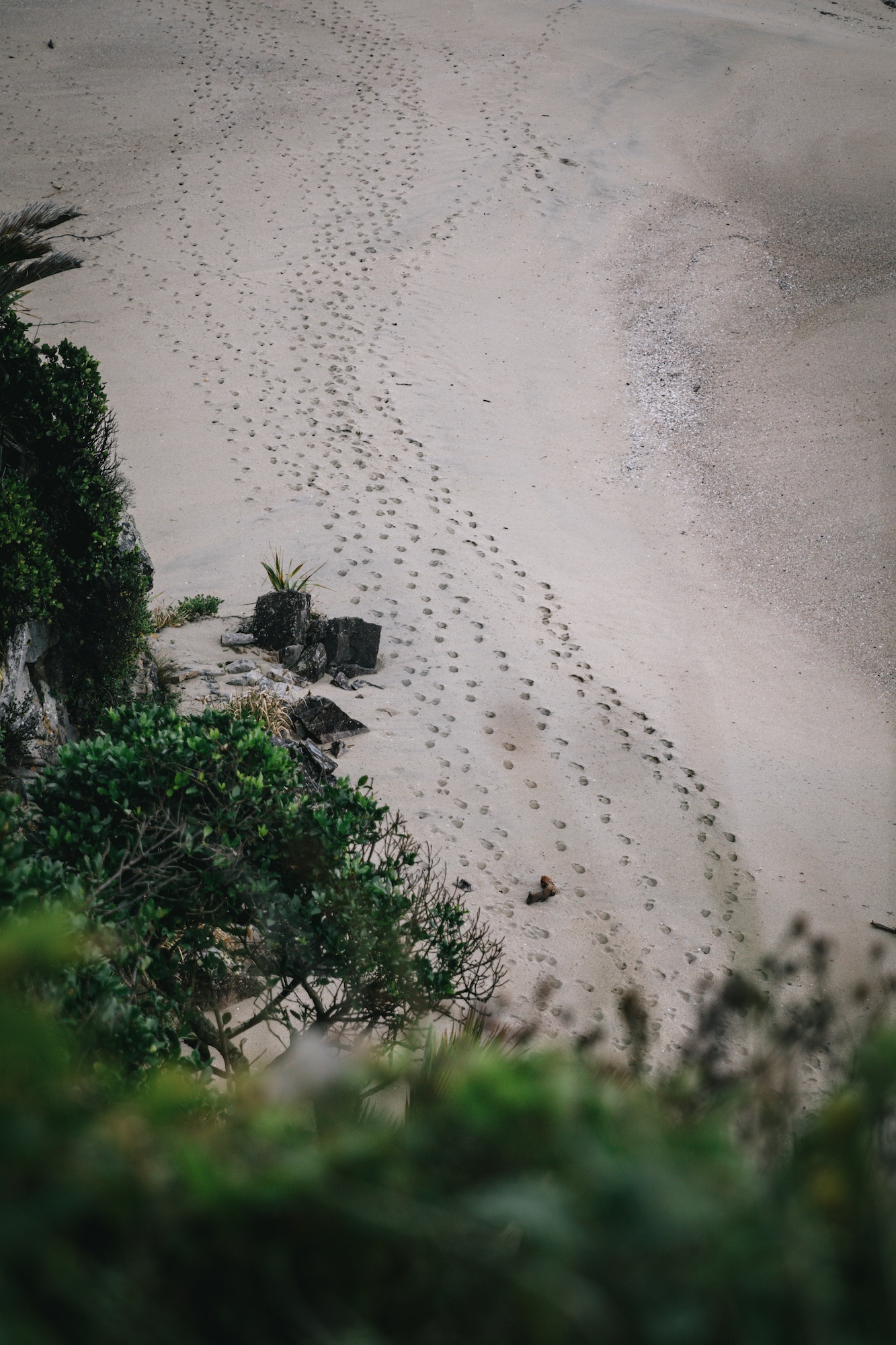
In addition to the takahē, the track is a stronghold for the Great Spotted Kiwi (roa), whio (blue duck), and a variety of forest birds such as the tūī, bellbird (korimako), and the South Island robin (toutouwai). The varied landscapes—from the nikau palm-fringed beaches of the West Coast to the sub-alpine tussock of the Gouland Downs—provide a range of niches for these species to thrive.

Seasonal Dynamics and Multi-Use Management
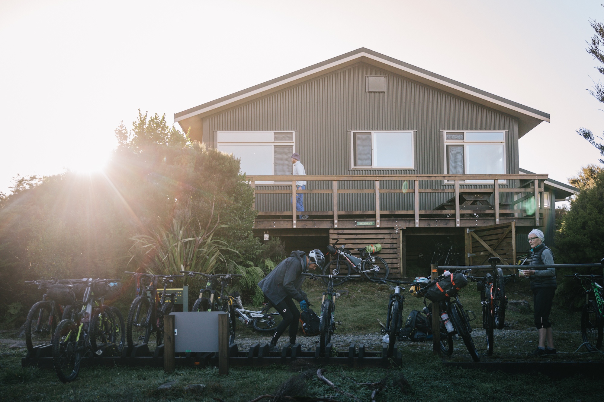
The Heaphy Track is unique among the Great Walks for its dual-use status. Since 2011, the track has been open to mountain bikers during the winter months, typically from May 1st to November 30th. This policy was implemented to boost regional tourism during the "shoulder" and "off" seasons.

The introduction of mountain biking was initially controversial among traditional hikers, but the Department of Conservation has managed the conflict through strict seasonal windows and group size limits. The track’s design, which avoids steep steps and instead utilizes gradual gradients and wide benched surfaces, makes it one of the premier long-distance mountain biking experiences in the Southern Hemisphere. This multi-use approach has significantly increased the economic impact of the track, bringing visitors to Karamea and Takaka at a time when tourism typically slows down.
Safety, Preparedness, and Risk Management
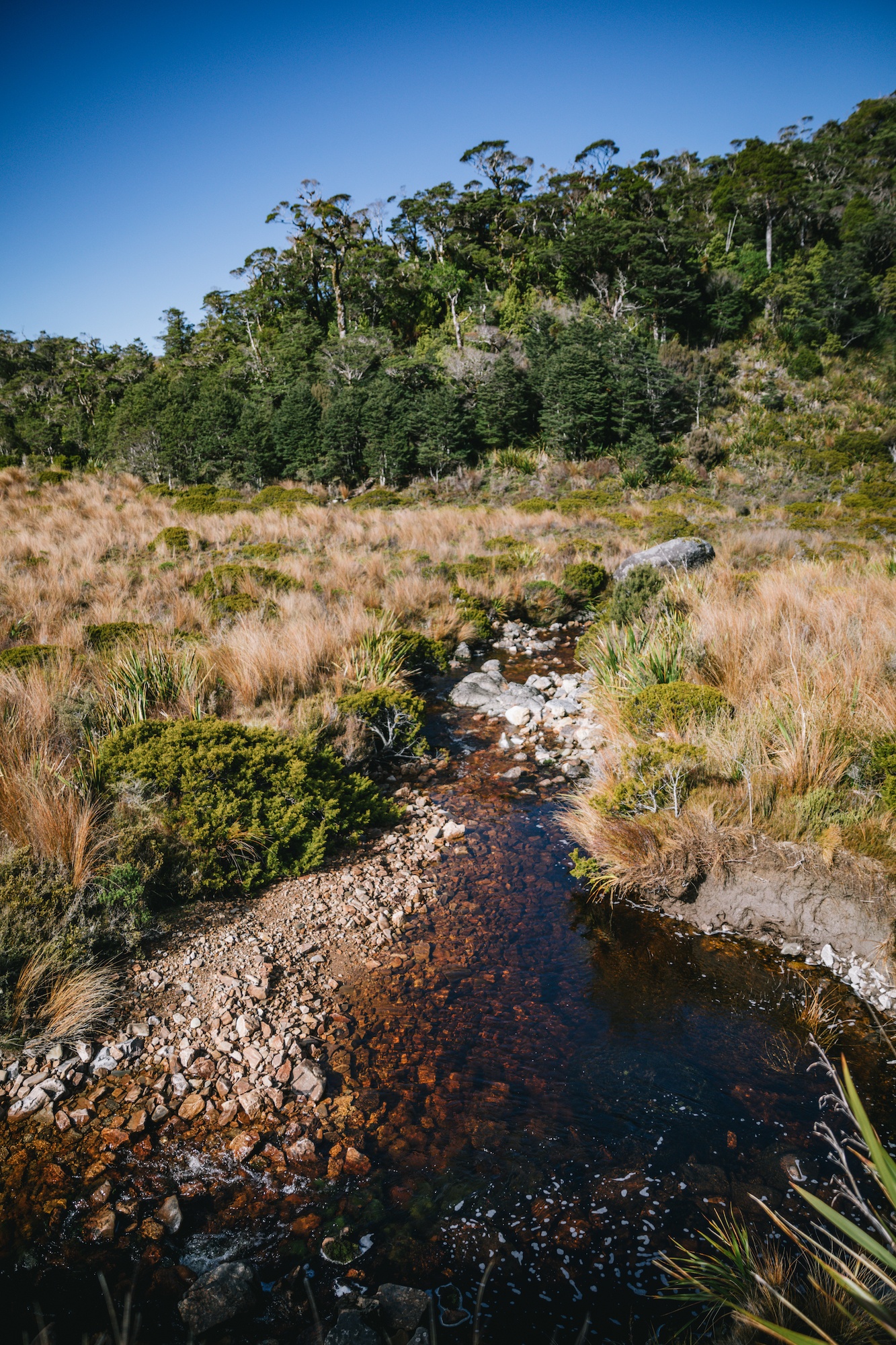
Despite its classification as an "easier" Great Walk, the Heaphy Track remains a wilderness experience that requires significant preparation. The West Coast is one of the wettest regions in New Zealand, and the track is prone to rapid flooding. The Department of Conservation maintains several emergency shelters in addition to the main huts, and hikers are advised to carry extra food and clothing in case they are "weathered in."

Official safety protocols strongly recommend the use of Personal Locator Beacons (PLBs). In a region with zero cellular coverage, a PLB is the only reliable method for summoning Search and Rescue (SAR) in the event of a life-threatening injury. The Department of Conservation wardens are stationed at the major huts during the peak season to provide weather updates and safety briefings, but the responsibility for individual safety remains with the visitor.
Broader Environmental and Economic Implications
The Heaphy Track is more than a hiking trail; it is a vital economic engine for the northern South Island. The "Great Walk" brand acts as a global magnet for high-value nature tourism. Visitors spending four to five days on the track often spend additional time in the gateway towns, supporting local accommodation, hospitality, and transport providers.
Environmentally, the track serves as a corridor for public engagement with conservation. By providing a high-quality experience in a pristine environment, the DOC fosters a sense of stewardship among both domestic and international visitors. The ongoing success of the takahē reintroduction and the maintenance of the Powelliphanta snail populations are benchmarks for New Zealand’s "Predator Free 2050" goals.

In conclusion, the Heaphy Track stands as a model for the balance between conservation, recreation, and regional economic development. Its blend of ancient history, unique biodiversity, and modern infrastructure makes it a cornerstone of New Zealand’s natural heritage. As the climate continues to present challenges to infrastructure, the continued investment in the Heaphy Track reflects New Zealand’s commitment to maintaining its status as a world leader in wilderness management. Whether through the lens of a conservationist tracking the rare takahē or a cyclist traversing the Gouland Downs, the track remains an essential experience in the South Island’s rugged landscape.


