The Marvine Lakes Trail is a high-reward, low-effort adventure offering wildlife, lakes, and unparalleled Rocky Mountain scenery

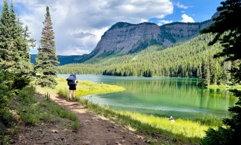
Deep within the rugged expanses of northwestern Colorado, the Flat Tops Wilderness Area continues to command the attention of backpackers, conservationists, and outdoor enthusiasts seeking immersion in untamed ecosystems. Characterized by dramatic basalt cliffs, sweeping high-altitude meadows, and dense old-growth pine and spruce forests, this protected landscape represents a cornerstone of regional biodiversity. Among the network of paths crisscrossing the wilderness, the Marvine Lakes Trail stands out as a prime example of accessible backcountry terrain. Offering a compelling blend of low-stress elevation gains and exceptionally high scenic dividends, the 10.9-mile out-and-back route delivers an authentic Rocky Mountain wilderness experience without requiring elite mountaineering endurance.
Main Facts and Trail Logistics
Situated approximately 35 miles east of Meeker, Colorado, the journey to Marvine Lakes originates at the East Marvine Campground, serving as a primary gateway for travelers heading deeper into the Flat Tops. The trail follows the pristine course of Marvine Creek for its entire duration, ensuring an abundant water supply for hikers equipped with proper filtration systems.
The route covers a total distance of 10.9 miles for a standard out-and-back day hike, though many visitors utilize the corridor for overnight excursions. Terrain difficulties remain moderate, featuring a cumulative elevation gain of roughly 1,045 feet spread across the 5.4-mile stretch leading to lower Marvine Lake. As a federally designated wilderness area, motorized vehicles and mountain bikes are strictly prohibited. While equestrian travelers frequently utilize the multi-use path alongside hikers, domestic dogs are permitted under voice control without mandatory leash requirements, though responsible pet management remains strongly encouraged.
Chronology of a Wilderness Excursion
A typical expedition along the Marvine Trail begins in the early morning hours at the East Marvine Campground. Historically, morning departures coincide with local commercial outfitters preparing pack strings and saddle horses for guided trips into the interior backcountry.
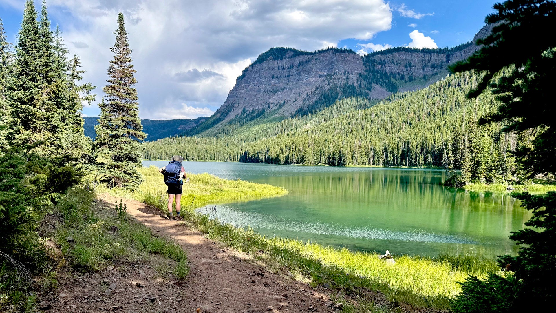
The initial phase of the trek winds through vibrant riparian zones, where hikers frequently encounter active beaver engineering projects, including intricate pond systems and felled timber. Transitioning from the streamside corridor, the path opens into expansive meadows that serve as primary foraging grounds for local ungulates during the early morning and late evening hours.
Progressing further past the 5-mile mark, the topography narrows as the trail approaches the lower Marvine Lake basin. Here, the landscape opens to reveal striking turquoise alpine waters reflecting the sheer stratigraphy of towering geological cliffs. The trail bifurcates around lower Marvine Lake, providing access to established dispersed campsites situated along the shoreline and the narrow land bridge dividing the lower and upper lakes. Overnight visitors often utilize these sites to observe high-altitude celestial phenomena before retracing their steps back to the trailhead the following day.
Supporting Ecological Data and Wildlife Dynamics
The Flat Tops Wilderness, encompassing roughly 235,000 acres within the White River and Routt National Forests, boasts a complex ecosystem capable of sustaining diverse wildlife populations. Designated formally through the Colorado Wilderness Act of 1975, the region preserves unique geological formations known locally as "table mountains"—flat-topped volcanic plateaus formed millions of years ago.
Recreational visitors frequently report high concentrations of large mammals, including robust herds of Rocky Mountain elk (Cervus canadensis), mule deer (Odocoileus hemionus), and semi-aquatic furbearers. Furthermore, the geographical positioning of the Flat Tops has placed it at the center of critical contemporary wildlife management initiatives. Notably, the region serves as a designated release and habitation zone for the state’s ongoing gray wolf (Canis lupus) reintroduction program, managed by Colorado Parks and Wildlife (CPW). Sightings of large, atypical canids along remote backcountry routes have increased correspondingly, drawing heightened attention from both wildlife biologists and recreationalists monitoring the ecological recovery of apex predators in the southern Rockies.
Management Perspectives and Recreational Regulations
Land management agencies, including the United States Forest Service (USFS), continuously balance public access with resource preservation across the Flat Tops Wilderness. Officials emphasize adherence to Leave No Trace principles, particularly as visitor volumes from Colorado’s Western Slope and visiting tourists continue to strain high-altitude fragile alpine flora.
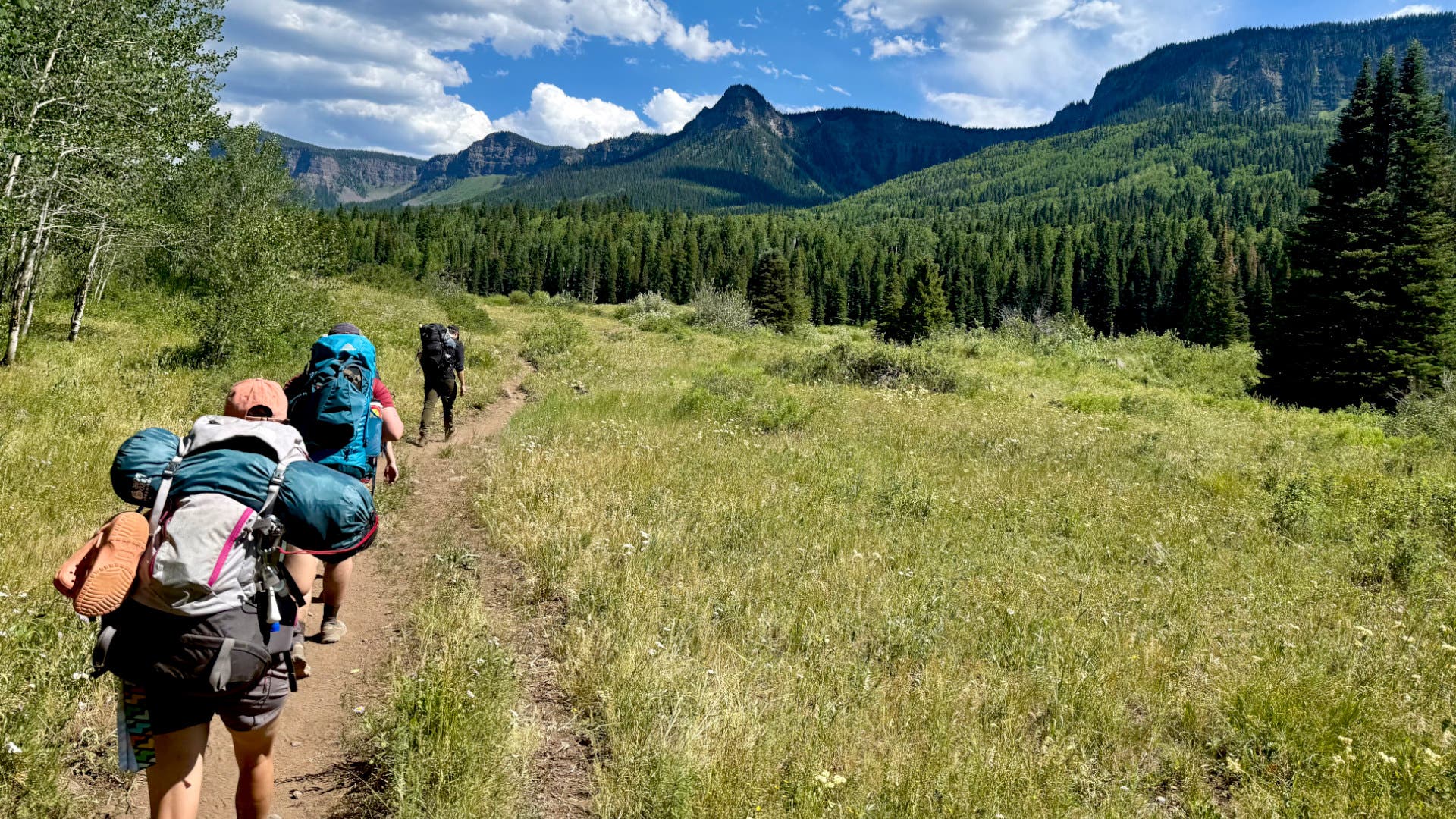
Local authorities maintain strict regulations regarding campfires, sanitation, and food storage to mitigate human-wildlife conflicts, particularly concerning black bears (Ursus americanus) and regional predators. Outfitters and commercial pack station operators coordinate closely with the USFS to ensure sustainable trail maintenance, clearing downed timber each spring to keep multi-use corridors navigable for both pedestrian and equestrian traffic.
Broader Impact and Implications for Regional Tourism
The enduring popularity of destinations like Marvine Lakes highlights a broader economic and ecological trend across rural western Colorado. Small communities such as Meeker increasingly rely on eco-tourism and outdoor recreation to supplement traditional resource-extraction economies. However, this shift introduces complex management challenges.
As backcountry infrastructure absorbs heavier seasonal traffic, conservation groups advocate for expanded education regarding trail etiquette and the expansion of extended routing options. For instance, ambitious backpackers frequently utilize the Marvine Trail as the western anchor for larger backcountry circuits, such as connecting to Twin Lakes and returning via the East Marvine Lakes Trail to form a demanding 22.5-mile loop. These extended routes disperse user impact deeper into the interior, alleviating localized congestion at primary lakes while testing the physical preparedness of modern adventurers.
Ultimately, the Marvine Lakes corridor encapsulates the delicate equilibrium required in modern wilderness management: providing accessible, high-quality natural sanctuaries for the public while rigorously safeguarding the fragile ecological networks that define the American Rocky Mountain landscape.