Bridging the Strait: Kent and Northern France Bid for the World’s First Transnational UNESCO Global Geopark

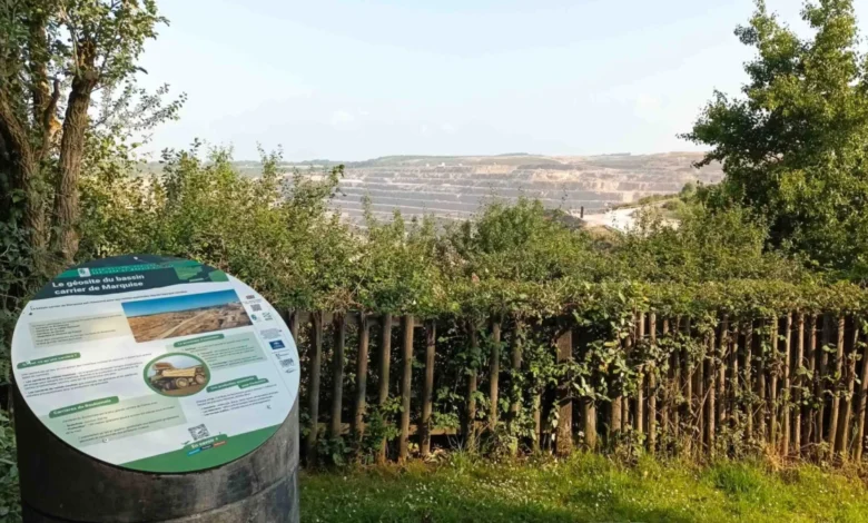
Separated by a mere 21 miles of shifting tides, the chalk and limestone coastlines of southeast England and northern France have long shared a turbulent narrative defined by geopolitical conflict, conquest, division, and contemporary post-Brexit maritime disputes. Yet, stretching back 450,000 years into deep geological time, England’s Kent Downs National Landscape and France’s Caps et Marais d’Opale Regional Nature Park were once seamlessly bound as a continuous landmass. Today, conservationists, geologists, and regional authorities are leveraging this ancient shared heritage in a groundbreaking bid for official UNESCO recognition.
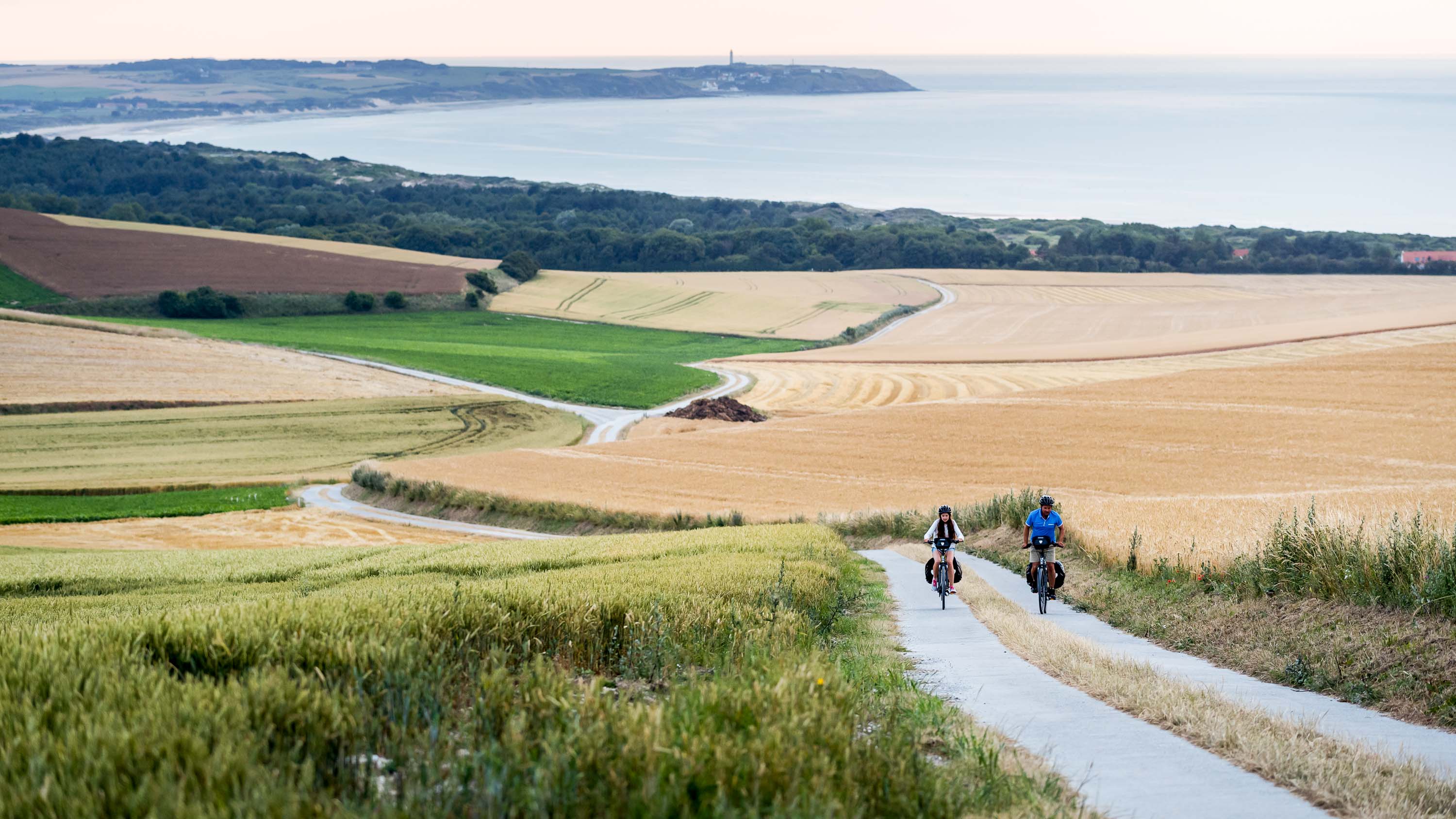
If successful, the proposed Cross Channel–Transmanche Geopark will make history as the world’s first UNESCO Global Geopark to span two distinct countries separated by an international sea. As the evaluation process nears its climax ahead of UNESCO’s official announcement in the spring of 2027, the initiative serves as an ambitious model for cross-border scientific collaboration, sustainable tourism, and community-driven environmental stewardship.
Geological History and the Birth of the English Channel
To understand the foundations of the Transmanche Geopark, one must look 400 million years back to the Devonian period, when the foundational belts of chalk and limestone underlying both regions were formed. For millions of years, southern Great Britain and northern Europe remained connected by a formidable chalk ridge known as the Weald-Artois anticline, acting as a natural land bridge between the continent and the British Isles.
That continuous landscape was violently fractured approximately 450,000 years ago during the Saalian glaciation. According to leading geological models, a massive glacial lake spilled over the crest of the chalk ridge in a catastrophic mega-flood, potentially triggered by ice sheets breaking away or dramatic tectonic adjustments. This cataclysmic torrent carved out the iconic white cliffs of Dover on the English side and Cap Blanc Nez on the French coast, permanently inundating the depression that became La Manche (the English Channel) and severing Great Britain from mainland Europe.
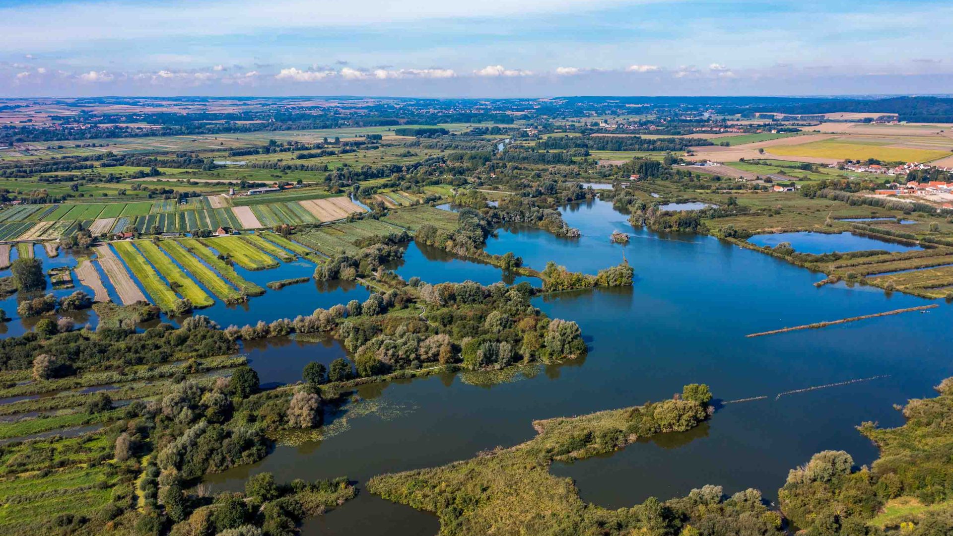
Despite the marine barrier created by the Channel, the geological composition of the two regions remains uniquely intertwined. This specific type of chalk and limestone ecosystem—renowned for harboring rare orchids, endemic insect species, and fragile calcareous grasslands—is found nowhere else on the planet outside of southern England and northern France. Across the proposed geopark, 43 specially selected geosites have been cataloged, mapped, and paired across the water. Iconic historical and geographical counterparts include Dover Castle and Château d’Hardelot, both bearing centuries of military fortification history, and the gentle rolling downlands of Mont Hulin and Mont Pelé in France, which mirror the striking topography of Kent’s Devil’s Kneading Trough.
Two Decades of Bilateral Cooperation and the UNESCO Bid
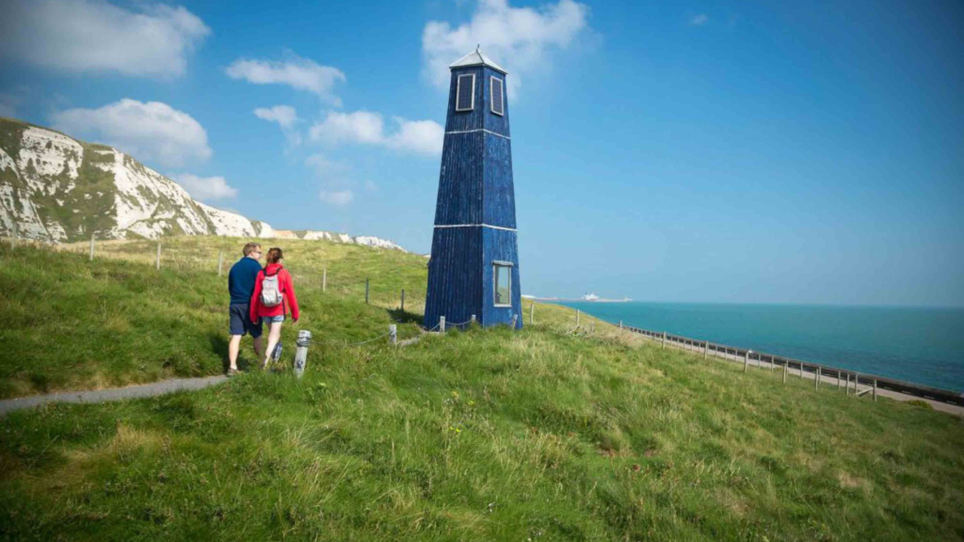
The formal bid for UNESCO Global Geopark status is not a sudden administrative pivot, but rather the culmination of more than 20 years of quiet, persistent cross-border cooperation. For two decades, French and English scientific experts, regional planners, and conservationists have shared research, pooled ecological data, and coordinated tourism initiatives.
However, the decision to formalize these efforts under a unified UNESCO bid marks a significant escalation in bilateral commitment. There are currently 241 UNESCO Global Geoparks operating across 51 countries worldwide, all bound by a framework that emphasizes the holistic integration of site protection, local economic development, and educational outreach. Gaining this designation requires meeting rigorous international standards set by the United Nations Educational, Scientific and Cultural Organization.
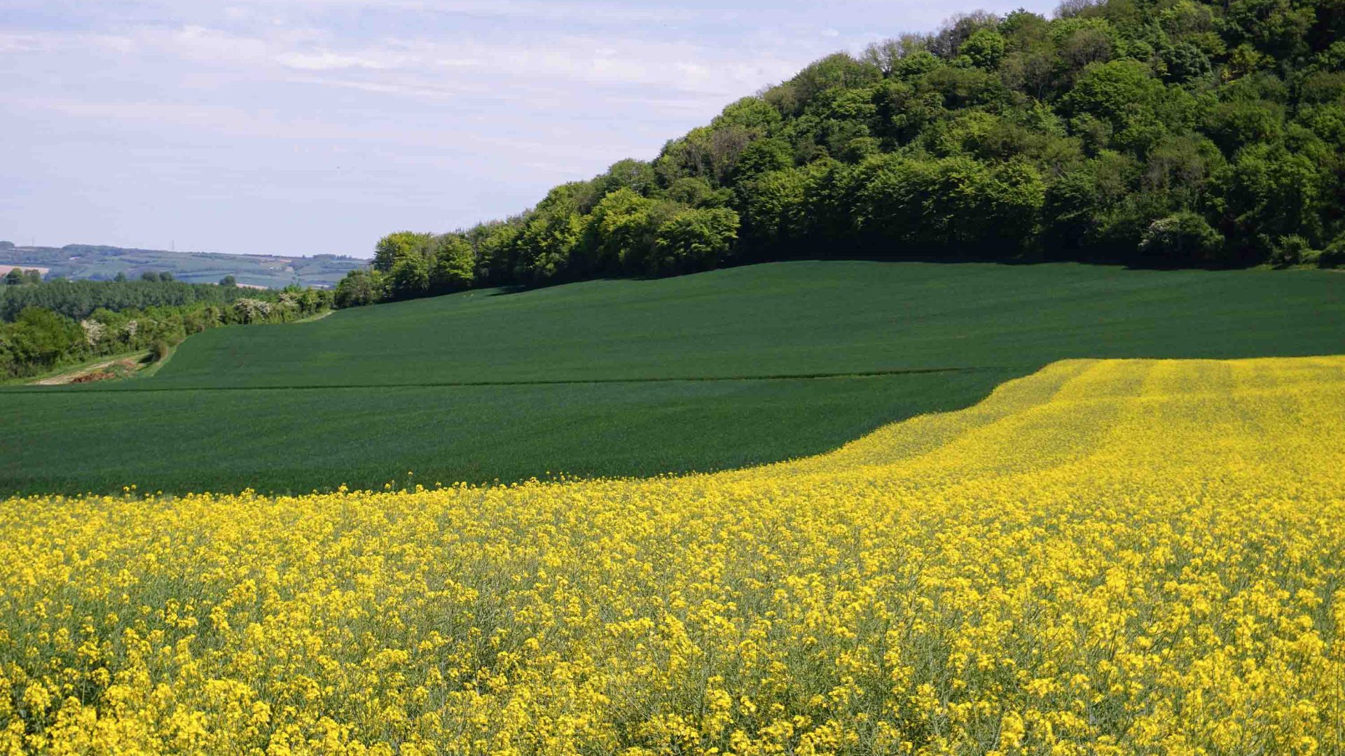
Julie Reynaud, Geopark Coordinator for the French side, emphasizes that the primary objective is educational as much as it is conservational. "Our goal is really to make people understand that what you have under your feet enables what you see on the landscape," Reynaud explains. Her English counterpart, Greg Taylor, echoes this sentiment, framing the project as a vital narrative tool. "It’s about telling a story of how this particular landscape formed, how we connect with the past, and what it can teach us about how to live more sustainably in the future."
Overcoming Socioeconomic Challenges and Post-Brexit Hurdles
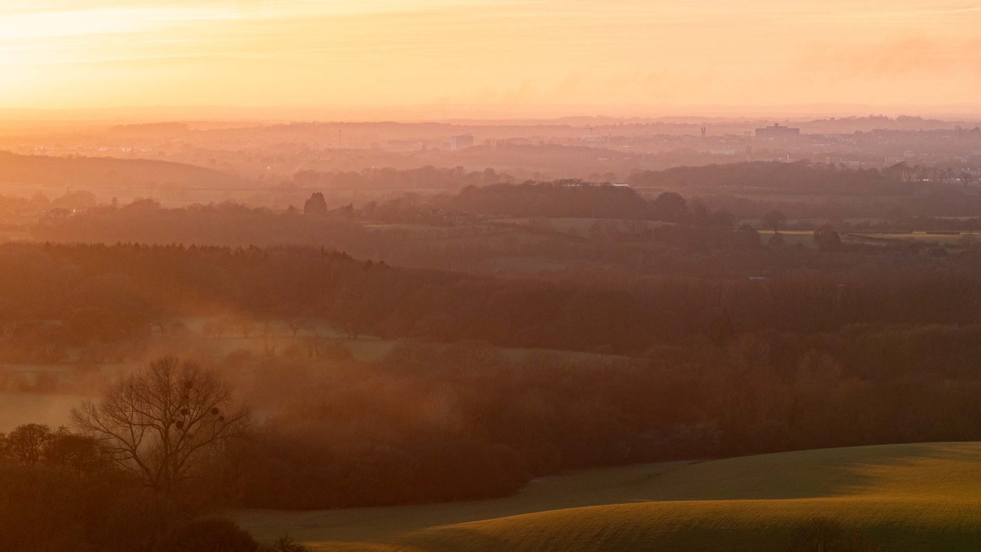
While the geography of the Transmanche Geopark is united by ancient stone, the human populations
inhabiting its coastal peripheries share stark contemporary socioeconomic challenges. Communities in Dover, Folkestone, Boulogne, and Calais have faced decades of industrial decline, economic restructuring, and infrastructural pressures. For many working-class residents living within sight of the opposing country’s shores, visiting the neighboring nation remains a logistical and financial hurdle.
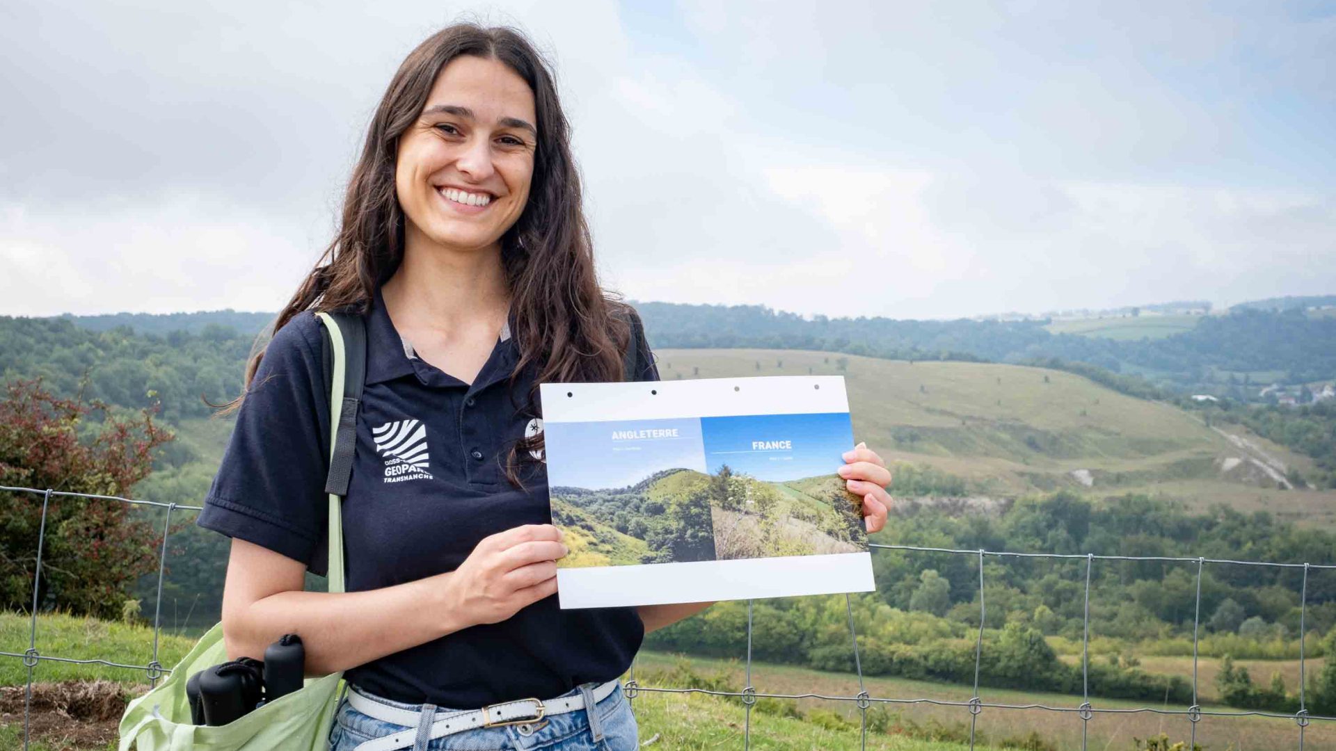
The implementation of Brexit and subsequent administrative red tape—including stricter passport requirements and new bureaucratic frameworks—has introduced fresh complications, particularly for grassroots initiatives like youth exchange programs and school field trips. Furthermore, the region frequently commands international headlines for contentious political debates surrounding migrant crossings and cross-channel security, casting a persistent shadow over the maritime corridor.
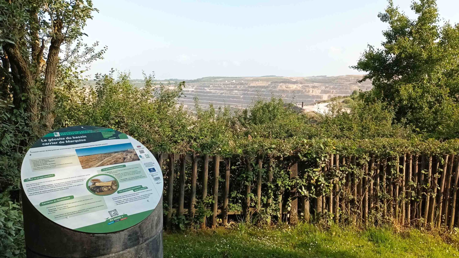
In response to these barriers, the leadership behind the Transmanche Geopark has placed community engagement, accessibility, and inclusivity at the very heart of its operational framework. Rather than functioning solely as an elite scientific preserve, the geopark is structured around five distinct categories of visitor attractions: cultural heritage, geological, industrial, marine, and natural sites.
Ambitious Community and Accessibility Initiatives
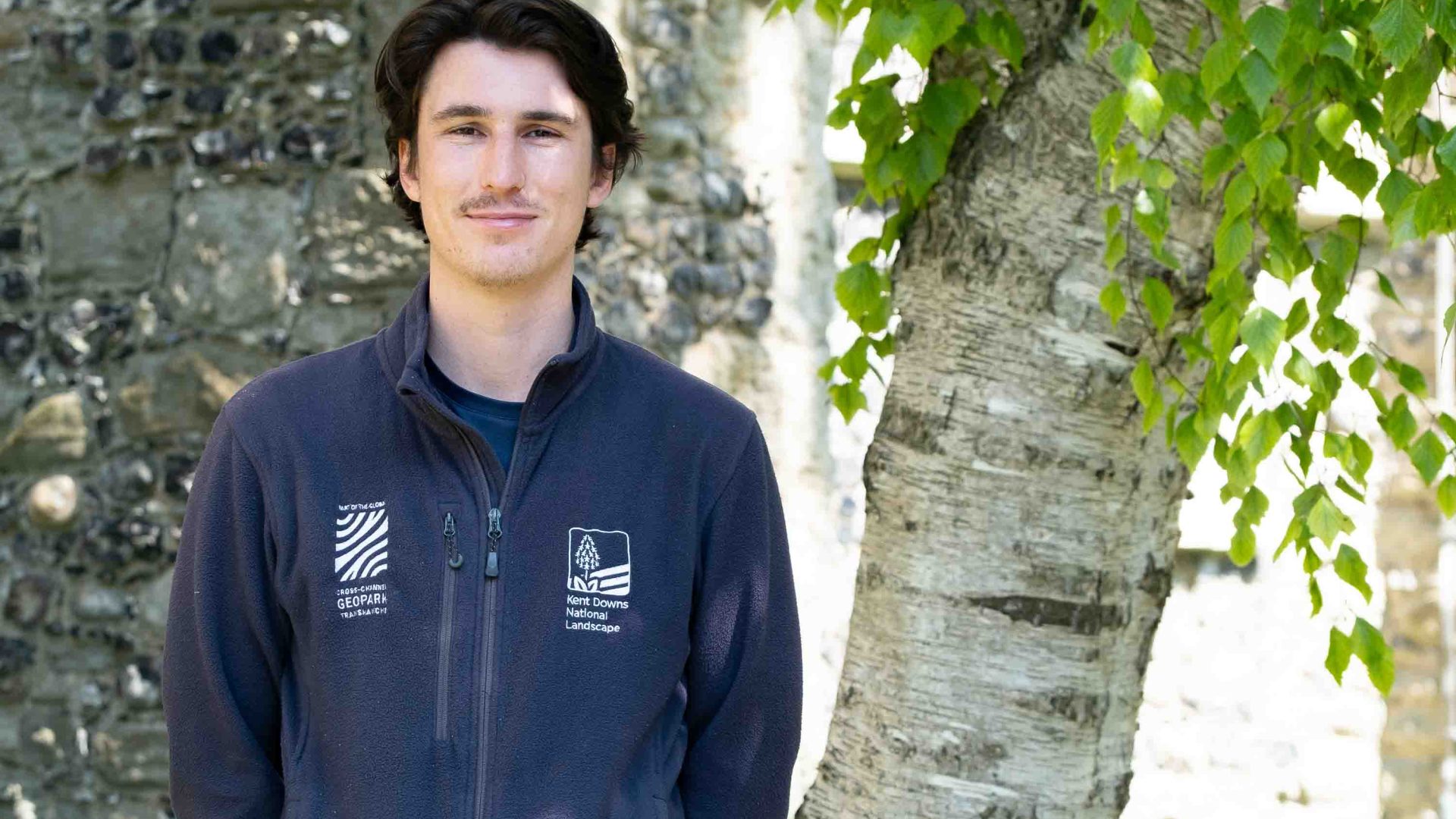
To bridge the gap between local populations and their natural environment, the geopark relies heavily on specialized Ambassador programs on both sides of the Channel. These networks allow local historians, artists, ecologists, and accessibility advocates to share their expertise through guided walks, workshops, and public events.
Florence Carron, a cultural ambassador from Desvres near Boulogne, notes the value of incorporating the region’s rich artistic history into the geological narrative. In the 18th and 19th centuries, artisans flocked to the area to utilize the distinct clay found between limestone seams for ceramics. "I love that there are artists and creatives as ambassadors, because it takes the geopark into a new dimension," Carron says.
Accessibility is another cornerstone of the initiative. Geo Ambassadors such as Gini Mitchell, who uses an all-terrain mobility scooter to navigate the Kent Downs, and Tamara Campbell, who collaborates with groups like Black Girls Hike, work actively to dismantle traditional barriers that prevent marginalized or disabled demographics from accessing the outdoors. Through guided excursions, mobility equipment provisions, and educational outreach, these programs aim to redefine who feels welcome in rural and coastal landscapes.
Economic and Environmental Implications of UNESCO Status
For regional administrators, securing the UNESCO label carries profound economic and ecological weight. Francois Charlet, director of the Caps et Marais d’Opale Regional Nature Park, points directly to the international prestige of the designation. "The image of UNESCO is important as it draws visitors," Charlet states. "It will help us develop a more sustainable tourism model, with access to a wider network of expertise, and it underlines an increased sense of what we need to do for the future."
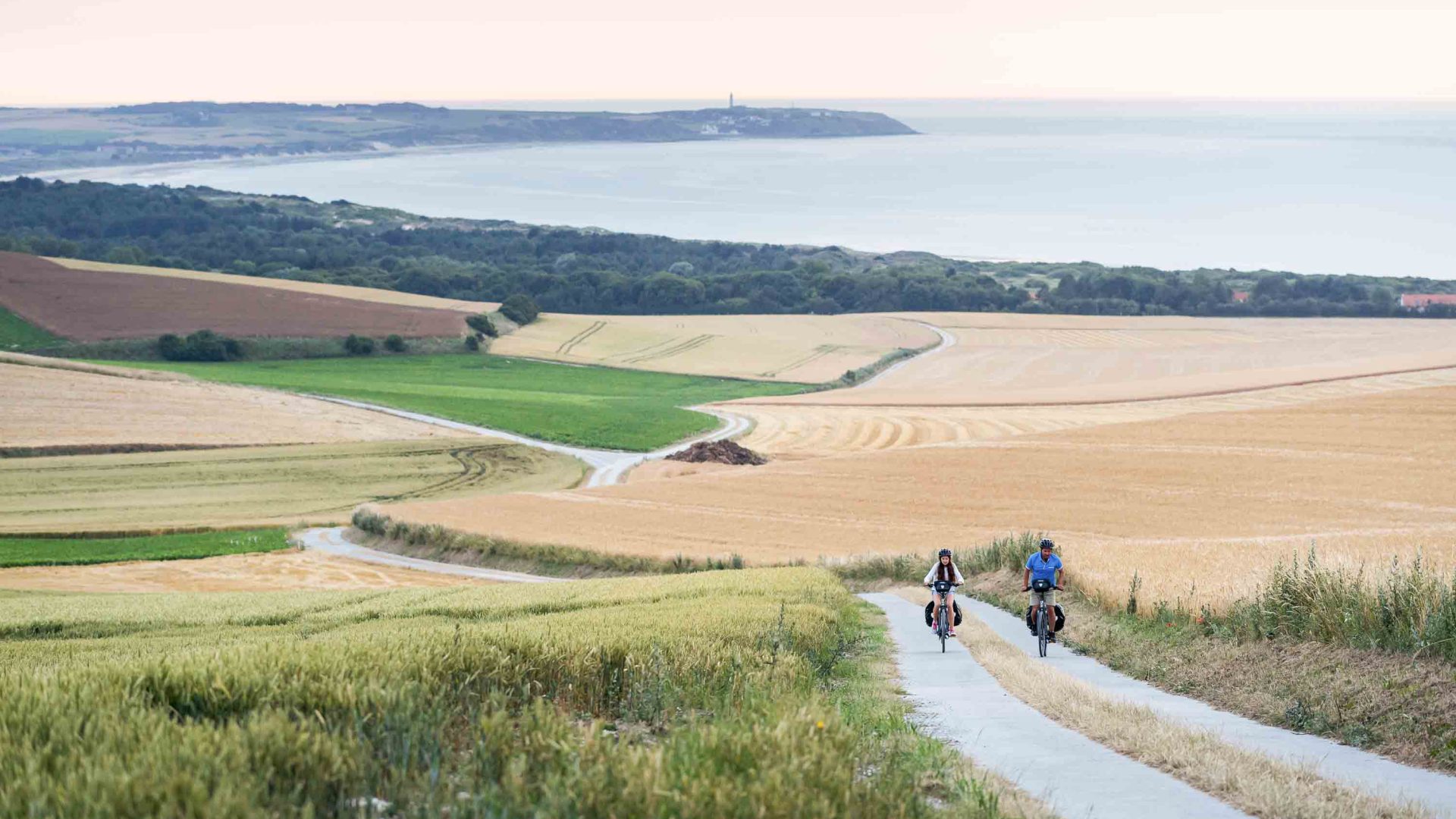
By promoting low-impact travel—such as cycling routes along France’s La Vélomaritime or passenger-only micro-ferries like Saillink’s catamaran service between Boulogne and Dover—the geopark seeks to encourage travelers to engage meaningfully with the environment while minimizing their carbon footprint.
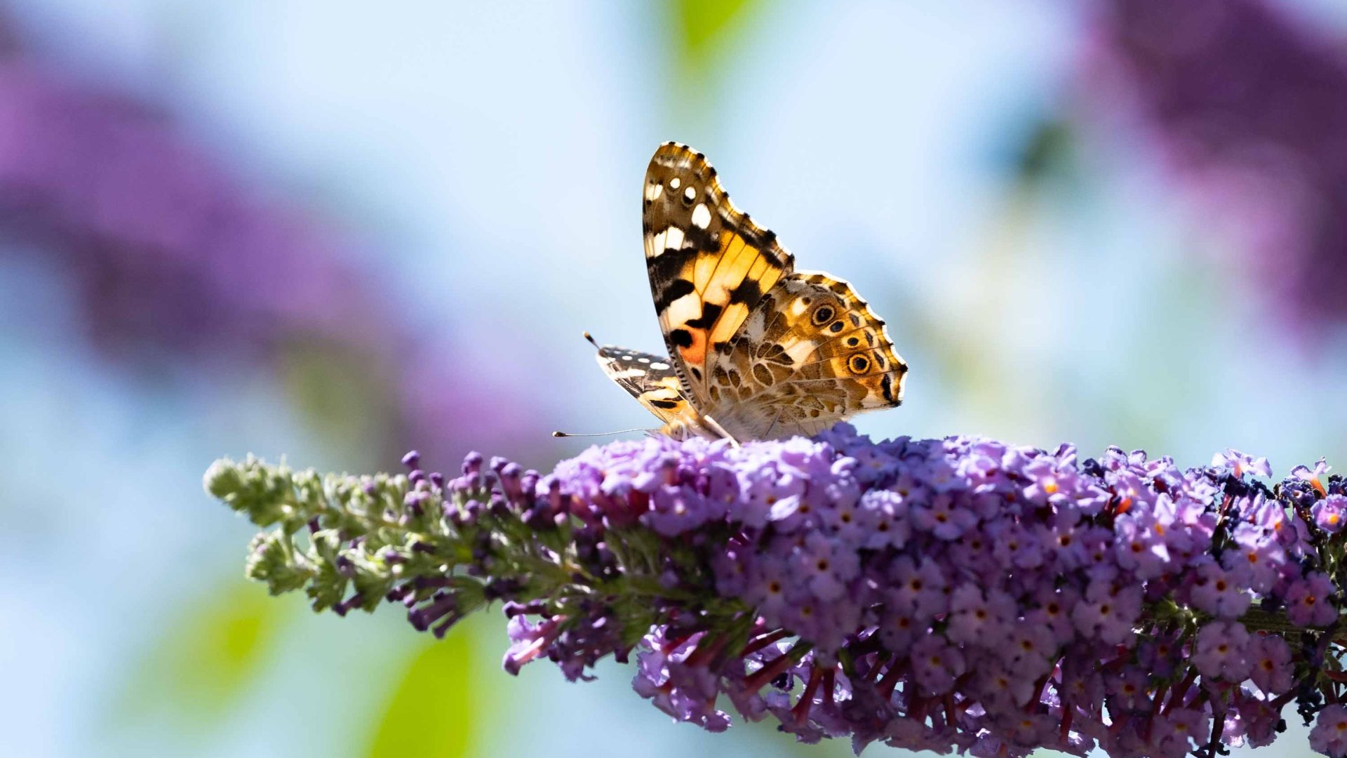
As UNESCO prepares to evaluate the application ahead of its official announcement in the spring of 2027, the Cross Channel–Transmanche Geopark stands as a testament to the endurance of natural systems over political boundaries. Much like the migratory painted lady butterflies that cross the Strait of Dover over a multi-generational journey unhindered by passports or national borders, the stewards of the Transmanche Geopark hope to establish a lasting framework of cooperation. While the designation cannot single-handedly resolve modern geopolitical tensions, it offers a pragmatic blueprint for how shared natural heritage can foster regional resilience and cross-border harmony.