
The Cotswold Way, an officially designated National Trail in the United Kingdom, represents a significant segment of the nation’s protected landscape. Stretching approximately 102 miles (164 kilometers) from the historic market town of Chipping Campden in the north to the UNESCO World Heritage City of Bath in the south, the trail serves as a premier route for long-distance walkers. Traversing the Cotswolds Area of Outstanding Natural Beauty (AONB), the path provides access to a geological and cultural cross-section of southwest England, characterized by limestone escarpments, ancient woodlands, and settlements dating back to the medieval era.
Geographical Significance and Historical Context
The trail follows the western edge of the Cotswold Hills, a range of oolitic limestone hills that rise prominently from the Severn Valley. Historically, these hills were the center of the English wool trade, a prosperity that funded the construction of the "wool churches" and honey-colored stone cottages that define the region’s aesthetic today. The National Trail, established in 2007, was designed to connect these rural assets with existing public rights of way.

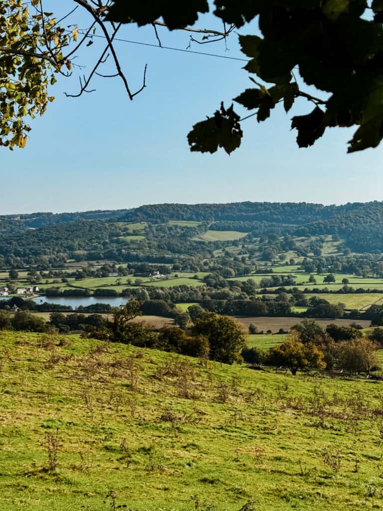
Geologically, the route is defined by the Cotswold Scarp. This topographical feature provides hikers with consistent, panoramic views of the Severn Vale, the Forest of Dean, and the Welsh mountains. Beyond the natural beauty, the trail is of significant archaeological interest; it passes numerous Neolithic long barrows, such as Belas Knap, as well as remnants of Roman occupation and medieval battlefields.

Trail Logistics and Planning
Completing the Cotswold Way requires careful logistical coordination. While the official distance is 102 miles, many hikers log between 110 and 130 miles due to necessary detours into villages for lodging, provisions, or visits to historical sites like Sudeley Castle and the Tyndale Monument.
The average duration for completion is between seven and ten days. A seven-day itinerary demands approximately 15 miles of walking per day, which is considered a strenuous pace, particularly given the undulating terrain. A ten-day itinerary is recommended for those prioritizing a balance between physical activity and cultural exploration.

Essential Preparation Data
- Total Elevation Gain: Approximately 3,000 meters (9,800 feet).
- Terrain Profile: Primarily soft earth, limestone paths, and farm tracks.
- Navigation: While the trail is well-signposted with the National Trail acorn symbol, the use of topographical maps (OS Explorer maps) or GPS-based navigation apps is standard practice due to the density of path networks.
- Accessibility: The trail is accessible by public transport, with rail links at major hubs such as Cheltenham and Bath.
Chronology of a Standard Ten-Day Traverse
A balanced approach to the trail generally follows this geographical progression:

- Days 1–3 (The Northern Escarpment): Commencing in Chipping Campden, the route climbs toward Broadway Tower. This section is known for its steep ascents and expansive views. The trail then proceeds toward Winchcombe and the spa town of Cheltenham.
- Days 4–6 (Central Hills and Valleys): The route transitions through the mid-section, including Birdlip and the "Queen of the Cotswolds," Painswick. This area is characterized by dense woodlands and deep valleys.
- Days 7–8 (Southern Approaches): Traversing through Stonehouse and Wotton-under-Edge, walkers encounter the Tyndale Monument. The terrain here is varied, involving both farmland and elevated ridgelines.
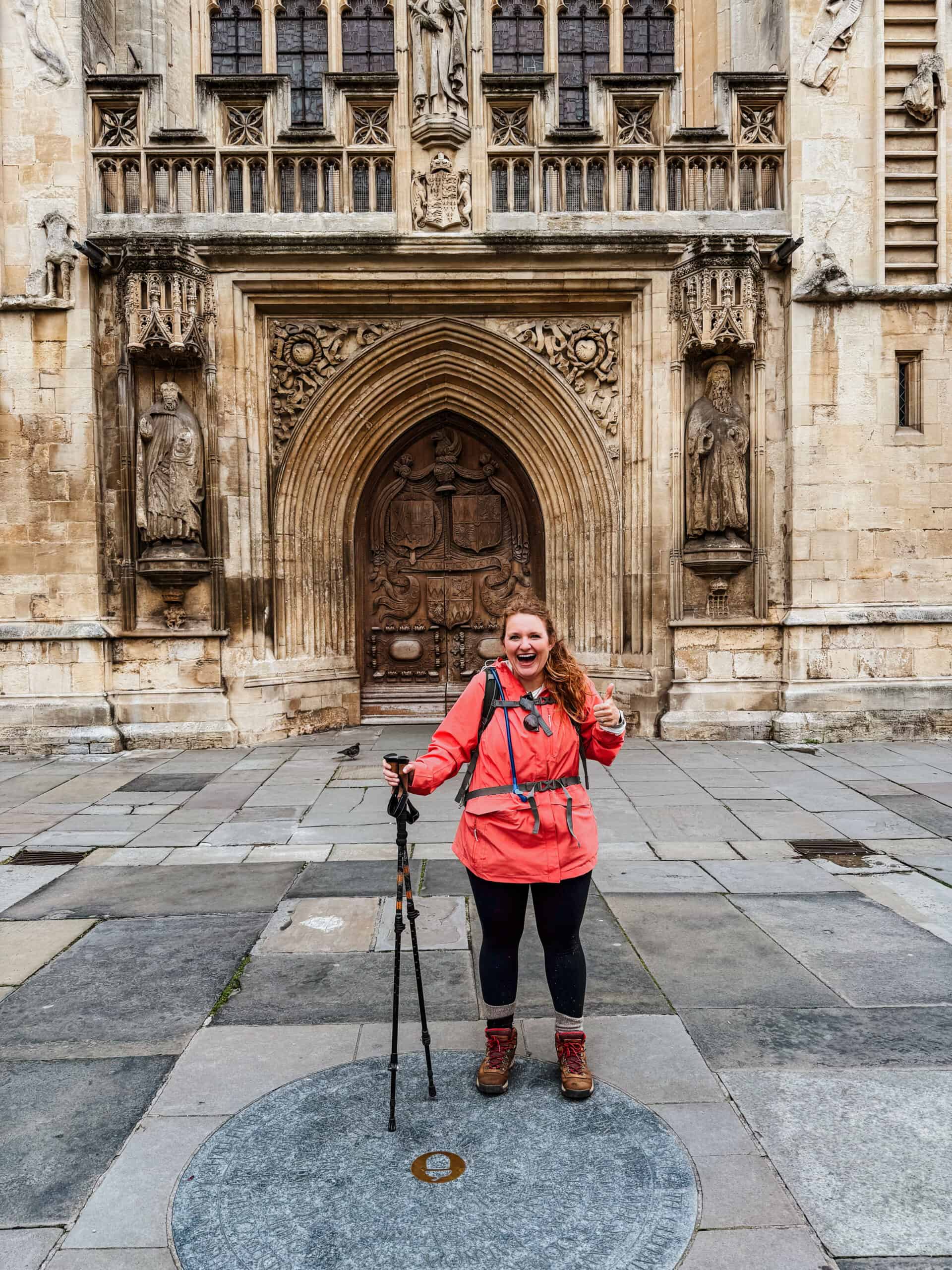
- Days 9–10 (Final Approach to Bath): The final stages pass through Old Sodbury and Cold Ashton. The culmination of the trail is the arrival into the city of Bath, where the route terminates at the Abbey, providing a stark transition from rural landscape to urban architecture.
Economic and Environmental Implications
The Cotswold Way is a significant contributor to the regional economy. According to data from the National Trails organization, long-distance walkers support a network of rural B&Bs, local pubs, and independent retailers that would otherwise struggle in the modern retail climate. The influx of tourism has led to increased investment in trail infrastructure, including drainage improvements to combat the persistent mud issues on the clay-heavy sections of the escarpment.

However, the popularity of the trail has introduced management challenges. Increased footfall necessitates ongoing maintenance to prevent soil erosion and ensure the integrity of the public rights of way. Local authorities and conservation groups emphasize the importance of the "Countryside Code," urging visitors to remain on marked paths to protect agricultural land and local biodiversity.

Operational Updates for 2026
As of the current planning cycle for 2026, several factors require the attention of prospective hikers:

- Accommodation Availability: The demand for lodging along the route has surged. It is currently advised that hikers secure overnight bookings at least three to six months in advance, particularly for peak spring and autumn months.
- Infrastructure Improvements: Ongoing work continues to improve drainage on high-traffic sections such as Haresfield Beacon. Hikers should check the official National Trails website for temporary route diversions before departure.
- Technological Integration: The adoption of digital mapping has become standard. While physical maps are encouraged for safety, GPS data sets (GPX files) are now provided by the National Trail to assist in navigating areas where summer vegetation may obscure signage.
- Environmental Stewardship: The Cotswold Way Relay, an annual event, occasionally impacts trail traffic. Potential hikers should consult event calendars to avoid congestion during peak race weekends.
Professional Analysis of Trail Difficulty
The Cotswold Way is classified as a "moderate" hike. While it does not feature high-altitude mountaineering or technical scrambling, the cumulative elevation gain and the physical toll of consecutive 10-to-15-mile days should not be underestimated. Preparation should include cardiovascular conditioning and, crucially, the breaking-in of appropriate footwear.

Experts in long-distance hiking note that the most common injuries on the Cotswold Way are related to repetitive strain and improper footwear selection for the varied terrain. The limestone, when wet, becomes particularly slick, and the clay sections can be taxing on leg muscles. Therefore, physical training programs focusing on lower-body endurance are highly recommended for those without prior experience in long-distance trekking.

Conclusion: The Value of the Trail
The Cotswold Way remains a vital artery for tourism and recreation in southwest England. It provides a unique opportunity to engage with the landscape in a way that is increasingly rare in the modern era. By offering a blend of physical challenge, historical immersion, and rural hospitality, the trail sustains the cultural identity of the Cotswolds while providing a tangible economic benefit to the communities it connects. For the prepared traveler, it represents a comprehensive study of the English countryside, condensed into a single, manageable journey.