Conquering the Rockies: How One Thru-Hiker Invented and Completed the 2,000-Mile Great Colorado Route

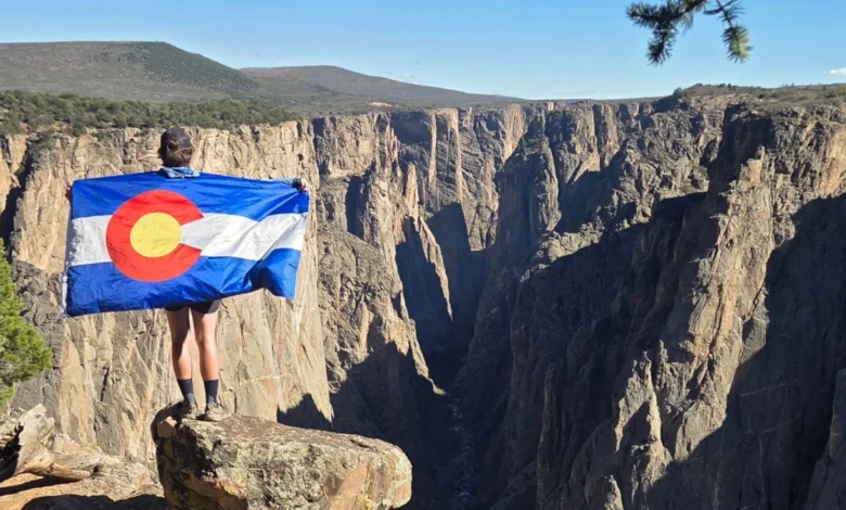
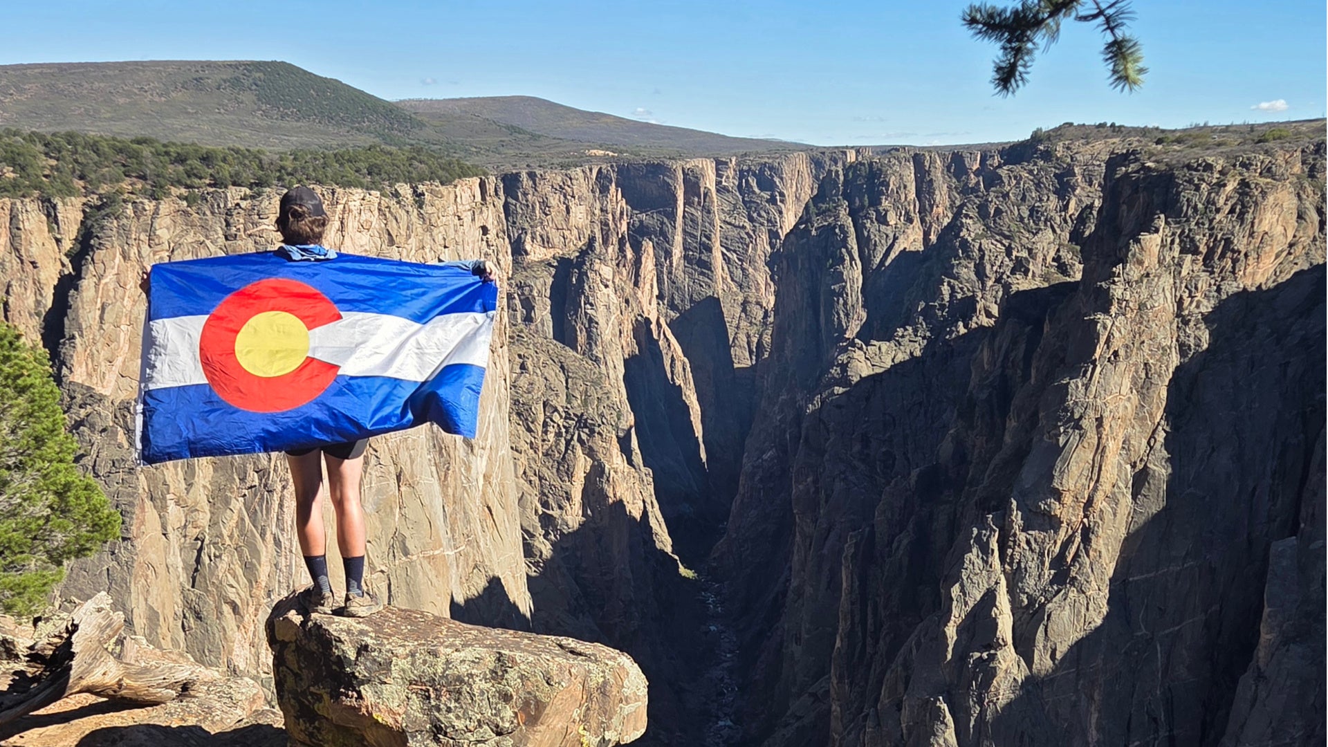
The landscape of American long-distance backpacking expanded significantly this autumn as outdoor enthusiast Donovan “Iceman” Rice completed a historic physical and logistical feat. Standing at the intersection of geographical exploration and personal ambition, the 29-year-old resident of Golden, Colorado, became the first person to successfully thru-hike the Great Colorado Route (GCR). Spanning an estimated 2,000 miles across the state’s rugged interior, this newly conceptualized backpacking loop connects some of the most remote and challenging alpine terrain in the American West, offering an alternative to established national scenic trails while setting a high-water mark for regional mountaineering endurance.
The Genesis of a Continental Loop
The conceptual groundwork for the Great Colorado Route was laid in 2024 near the Colorado-Wyoming border. Rice had just completed a 700-mile stretch of the Continental Divide Trail (CDT) traversing his home state. Having previously thru-hiked the Pacific Crest Trail (PCT) in 2020, Rice found that neither the PCT nor the southern stretches of the CDT through New Mexico resonated with his specific alpine aesthetic quite like the dramatic topography of Colorado. The state’s signature mix of high-altitude scrambling, exposed ridgelines, fourteeners—peaks exceeding 14,000 feet in elevation—and intricate side-canyon networks provided a distinct adrenaline rush.
Upon reaching the northern state line, Rice articulated a vision that would consume the next two years of his life: creating a continuous, high-elevation loop that maximized the state’s most technical and visually striking mountain features without relying on repetitive out-and-back segments or excessive road-walking.
When a professional transition presented a window of unemployment, Rice committed himself full-time to the cartographic endeavor. Over several months, he utilized mapping software, topographic surveys, and historical trail data to stitch together a continuous loop. Unlike linear trails that cut directly north-south through the Rocky Mountains, the GCR was deliberately engineered to traverse the breadth of the state’s geographic extremes. According to route metrics, the trail reaches as far west as Rattlesnake Arches, extends south to Alamosa, pushes east toward Colorado Springs, and terminates just a mile shy of the Wyoming border in the north.
Chronology of an Unprecedented Expedition
With his cartographic planning complete, Rice transitioned from armchair mapmaker to expedition pioneer. On May 14, 2026, he commenced his journey counterclockwise from the Black Canyon of the Gunnison National Park on the Western Slope.
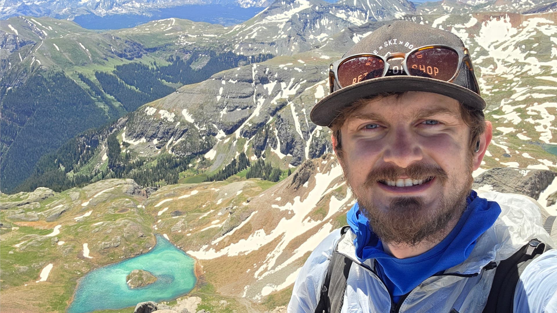
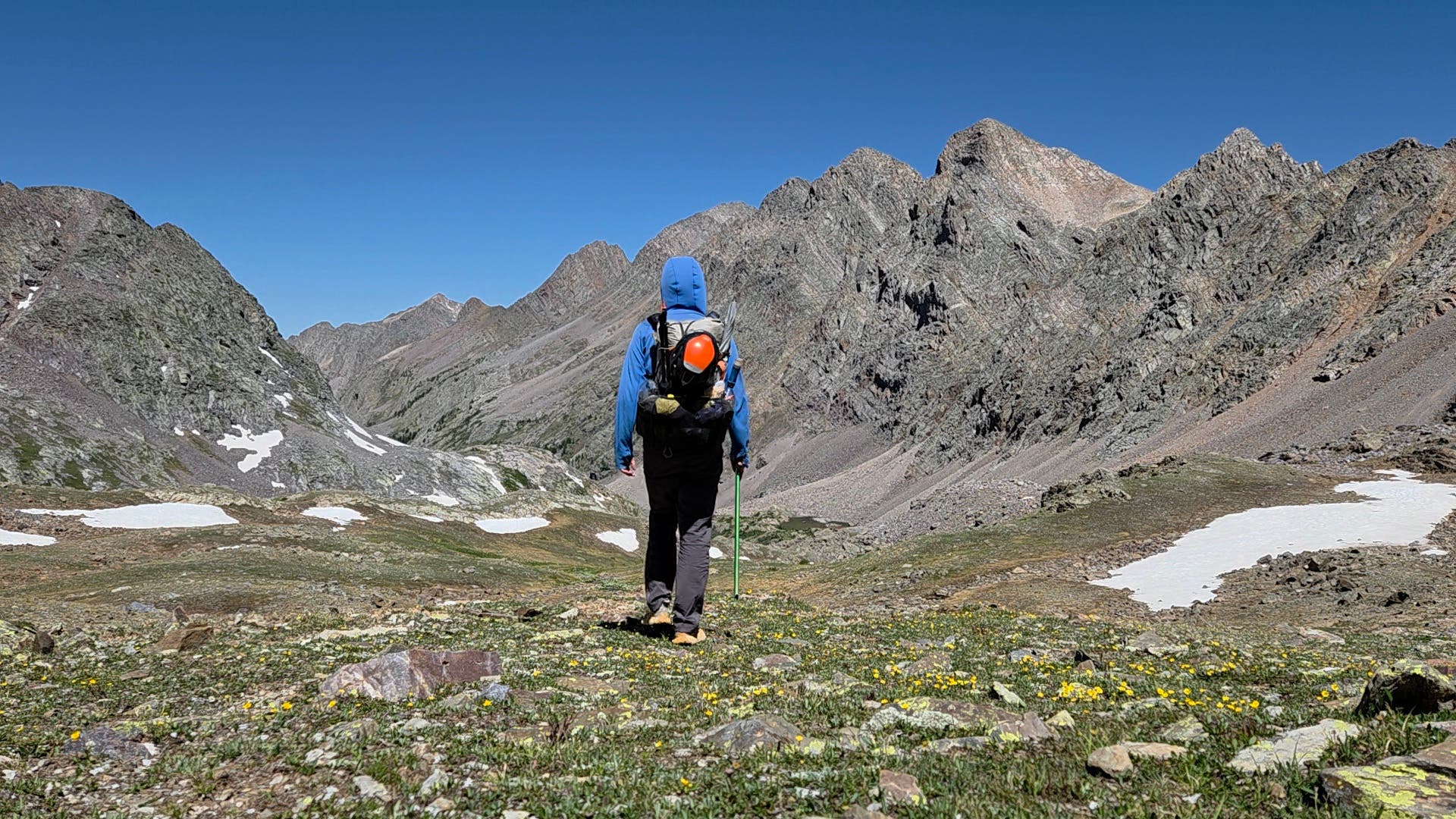
The ensuing four-and-a-half-month expedition functioned simultaneously as a personal endurance trial and a live-action scouting mission. Because the GCR stitches together lesser-known wilderness corridors, overgrown paths, and unmaintained game trails, Rice frequently encountered closed routes, seasonal snowpack, and navigational anomalies that had not yet been documented by contemporary hiking communities. Operating under the ethos of building the route while navigating it, he relied heavily on backcountry navigation skills and adaptability.
Throughout the spring, summer, and early autumn, Rice’s progress was monitored by thousands of outdoor enthusiasts utilizing live GPS tracking and regular updates shared via social media channels. What began as an obscure regional experiment gradually gained digital momentum. By mid-summer, local backpackers and mountain towns were recognizing the hiker, transitioning from curiosity about "That Guy" to tracking the progress of the "Great Colorado Route" creator, and eventually identifying him by his trail moniker, "Iceman."
On October 1, 2026, Rice completed the massive loop, returning precisely where he began at the Black Canyon of the Gunnison. The completion marked a rare milestone in modern American long-distance hiking: the concurrent establishment and first-known completion of a major state-spanning trail system.
Geographic Scope and Trail Architecture
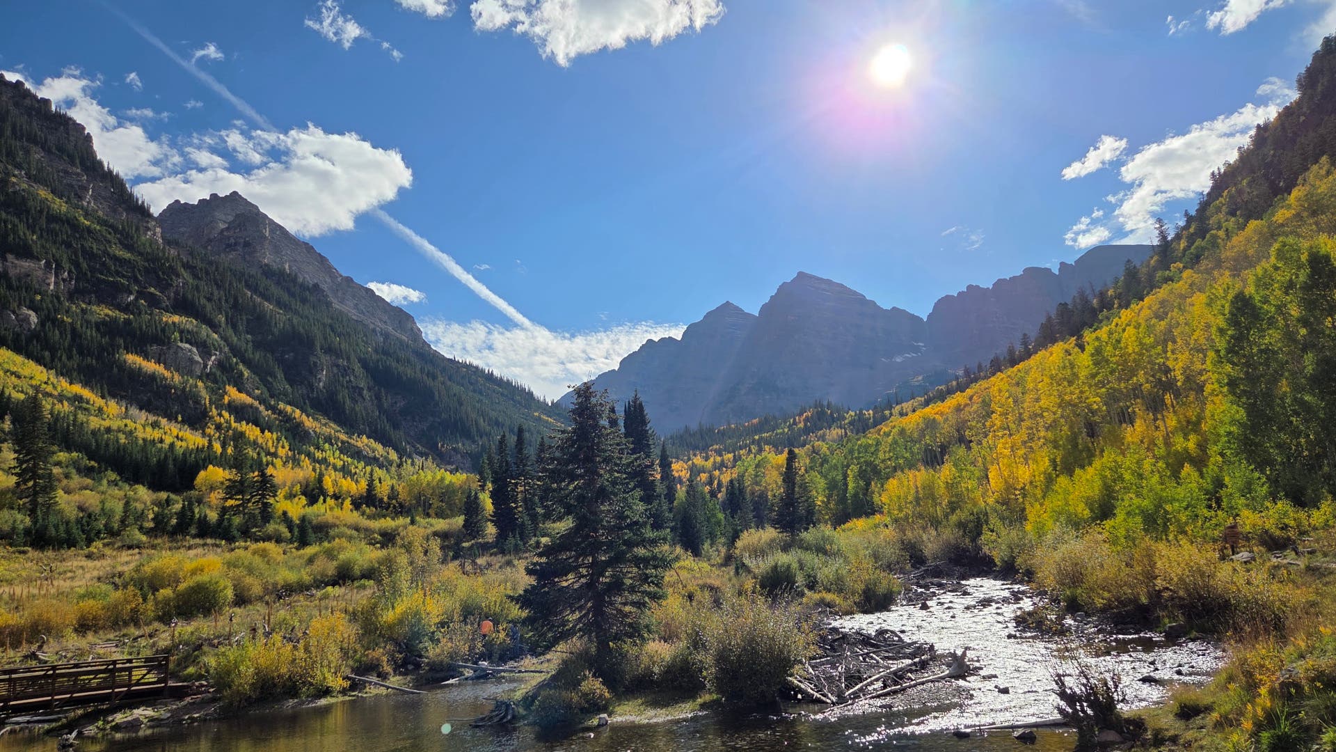
The scale of the Great Colorado Route places it in an elite tier of American backpacking itineraries, though its structural design differs fundamentally from traditional linear arteries like the Appalachian Trail or the Pacific Crest Trail. As a loop, the GCR offers modular access points, allowing hikers to initiate the journey from numerous trailheads along its extensive perimeter.
The route’s official specifications reflect an immense commitment to verticality and wilderness immersion. Rice’s preliminary tracking recorded a staggering 364,000 feet of cumulative vertical elevation gain—a figure widely acknowledged by alpine experts as an undercount due to the relentless rolling topography of the Colorado Rockies.
The trail’s corridor winds through a staggering cross-section of public and protected lands, including:
- Three national parks (Black Canyon of the Gunnison, Rocky Mountain, and Great Sand Dunes)
- Two national monuments
- All 11 of Colorado’s national forests
- 29 designated wilderness areas
- Eight wilderness study areas
- Direct access to 13 fourteeners and 47 thirteeners (peaks exceeding 13,000 feet)
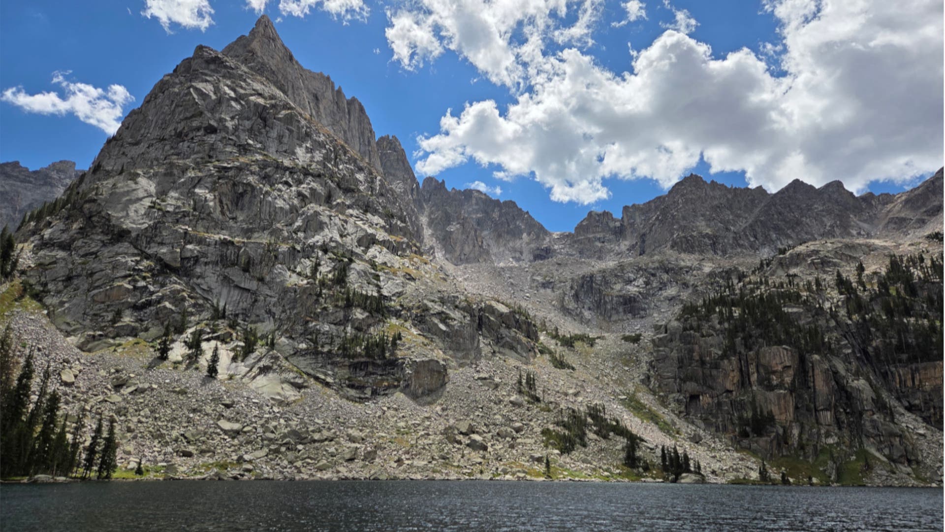
Among the standout segments identified during the inaugural journey are the Indian Peaks Wilderness, the Wild Basin sector of Rocky Mountain National Park, the dramatic expanses of the Sangre de Cristo range, and a full wilderness crossing over the active shifting terrain of the Great Sand Dunes.
Context within Colorado’s Long-Trail Hierarchy
To understand the magnitude of the Great Colorado Route, it is necessary to examine the state’s existing long-distance hiking infrastructure. Historically, Colorado recognizes two primary long trails: the Continental Divide Trail (CDT), which stretches along the spine of the continent from Mexico to Canada, and the Colorado Trail (CT), a 567-mile designated route connecting Denver to Durango.
In recent years, the appetite for localized, hyper-regional routes has grown among seasoned thru-hikers. In 2024, another pioneer, Kevin Silvernale, established the Northern Colorado Route (NCR), which charts a course from Estes Park through the northern Rockies to Glenwood Springs. When Rice was formulating the parameters of the GCR, he consulted Silvernale for advice on trail design philosophy—specifically debating whether to optimize the route for maximum public accessibility or tailor it purely to advanced alpine preferences.
Silvernale’s counsel proved decisive: he encouraged Rice to design the trail according to his personal mountaineering passions rather than watering down the difficulty for broader commercial appeal. This advice birthed the three core design philosophies of the GCR: beauty, breadth, and epicness.
To maintain the integrity of these pillars, Rice established strict self-imposed rules during the planning phase:
- The route must avoid significant overlap with the established paths of the Colorado Trail and the Continental Divide Trail.
- It must not incorporate technical rock climbing requiring specialized vertical gear such as ropes or packrafts.
- It must rely on foot travel, avoiding road walks where possible.
- It must offer a continuous, logical loop that challenges even elite-level thru-hikers.
Implications for the Thru-Hiking Community and Local Economies
Despite its immense appeal to outdoor adventurers, outdoor safety advocates and experienced mountaineers emphasize that the Great Colorado Route is strictly unsuited for novice backpackers or first-time thru-hikers. The combination of sustained high-altitude exposure, severe afternoon summer thunderstorms, remote navigation, and unrelenting physical climbs creates an environment with minimal margin for error.
However, for the advanced ultralight and mountaineering communities, the GCR represents a paradigm shift. Rather than adhering to the well-trodden paths of historic commercial trails, the route demonstrates how modern mapping tools and deep regional knowledge can be leveraged to synthesize entirely new wilderness odysseys within heavily protected public lands.
Furthermore, the economic impact on the rural mountain communities dotted along the GCR perimeter is projected to grow as the route gains formal documentation and guidebook traction. Small towns functioning as resupply hubs—ranging from historic mining outposts to agricultural centers—historically benefit from the seasonal influx of long-distance hikers. During his expedition, Rice noted that local reception in these communities was overwhelmingly positive, reflecting a deep statewide pride in Colorado’s rugged alpine identity.
As route documentation, GPS tracks, and planning resources for the Great Colorado Route become publicly available through dedicated platforms like the official trail portal, the outdoor industry will be watching closely to see whether "Iceman’s" creation inspires a new generation of high-altitude pioneers to test their endurance against the roof of the continent.
Related posts: