Oregon is defined by its dramatic topography, and while Portland serves as the primary urban hub, the true character of the state is revealed as one travels east toward the high desert and the historic heart of the American West. From the cascading waterfalls of the Columbia River Gorge to the rugged, high-desert plains near Burns, the region offers a diverse landscape shaped by volcanic activity, indigenous heritage, and agricultural innovation. This expansive territory requires careful planning, as the transition from lush forest to arid plateau presents a unique set of travel considerations for those seeking to experience the Pacific Northwest beyond the metropolitan sprawl.
The Columbia River Gorge and the King of Roads
The Columbia River Gorge represents one of the most significant geological and recreational corridors in North America. Formed by the Missoula Floods approximately 15,000 years ago, the gorge serves as a natural border between Oregon and Washington. Central to this region is the Historic Columbia River Highway, a National Historic Landmark that stands as a feat of early 20th-century engineering. Conceived by Samuel Lancaster and commissioned in 1913, the "King of Roads" was designed to provide access to the area’s dense concentration of waterfalls without compromising the natural aesthetic of the basalt cliffs.
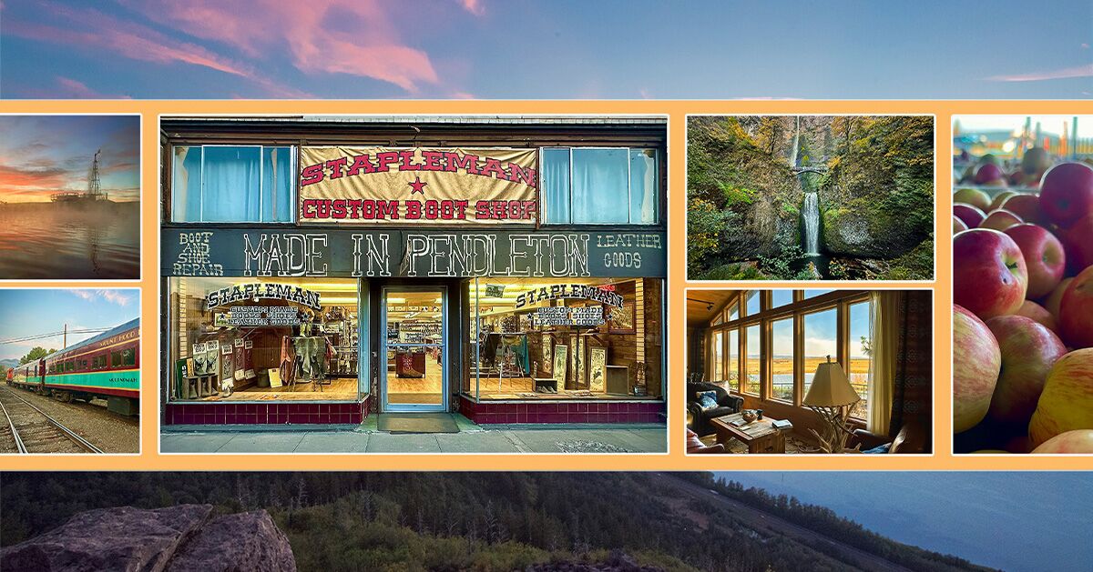
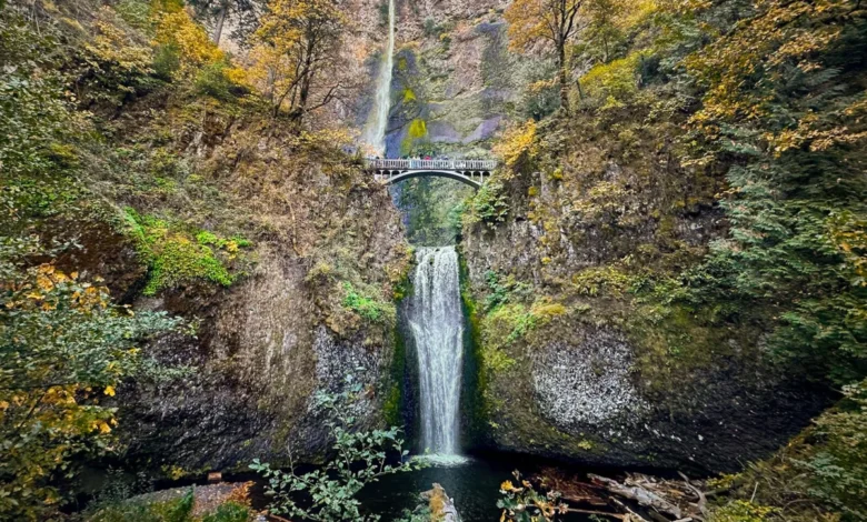
Multnomah Falls remains the region’s most prominent landmark, drawing millions of visitors annually. Standing at 620 feet, the two-tiered structure is bisected by the Benson Bridge, a stone-arch span built in 1914 by Simon Benson, a timber baron who donated the land to the City of Portland. Hydrological data suggests that the waterfall’s volume is heavily dependent on snowmelt from the Larch Mountain watershed, leading to peak flows during the spring months. Beyond the high-traffic sites, lesser-known locations such as Shepherd’s Dell offer a quieter look at the gorge’s geological diversity, where water cascades through narrow, moss-covered canyons.
Agricultural Heritage: The Hood River Fruit Loop
The Hood River Valley, nestled between the peaks of Mount Hood and the Columbia River, serves as the primary agricultural engine of the region. The Hood River Fruit Loop, a 35-mile scenic driving route, encompasses roughly 30 local farms, orchards, and vineyards. This agricultural corridor is a testament to the valley’s fertile volcanic soil, which has supported fruit production since the late 19th century.
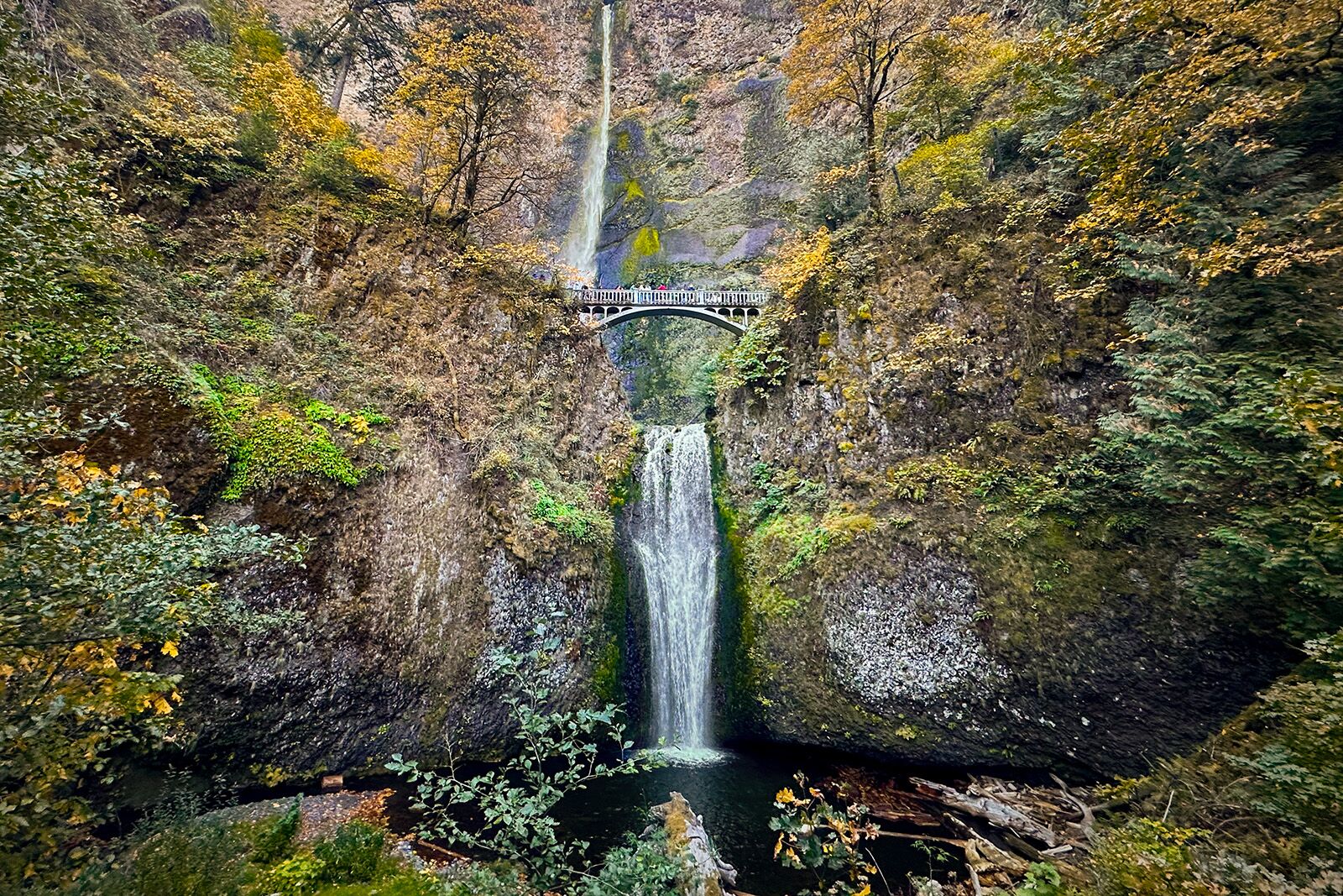
Kiyokawa Family Orchards stands as a pillar of this history. Since its founding in 1911, the orchard has prioritized the preservation of heirloom fruit varieties. With more than 120 varieties of apples cultivated on-site—a stark contrast to the limited selection found in commercial grocery chains—the orchard plays a role in agricultural biodiversity. Hood River County is currently recognized as the world’s leading producer of Anjou pears, a distinction that has significant economic implications for the local labor market and tourism sector. The practice of "u-pick" farming, while a popular tourist attraction, also serves as an essential method for distributing perishable, high-quality produce that does not meet the shelf-life requirements of long-distance commercial logistics.
Industrial History: The Mount Hood Railroad
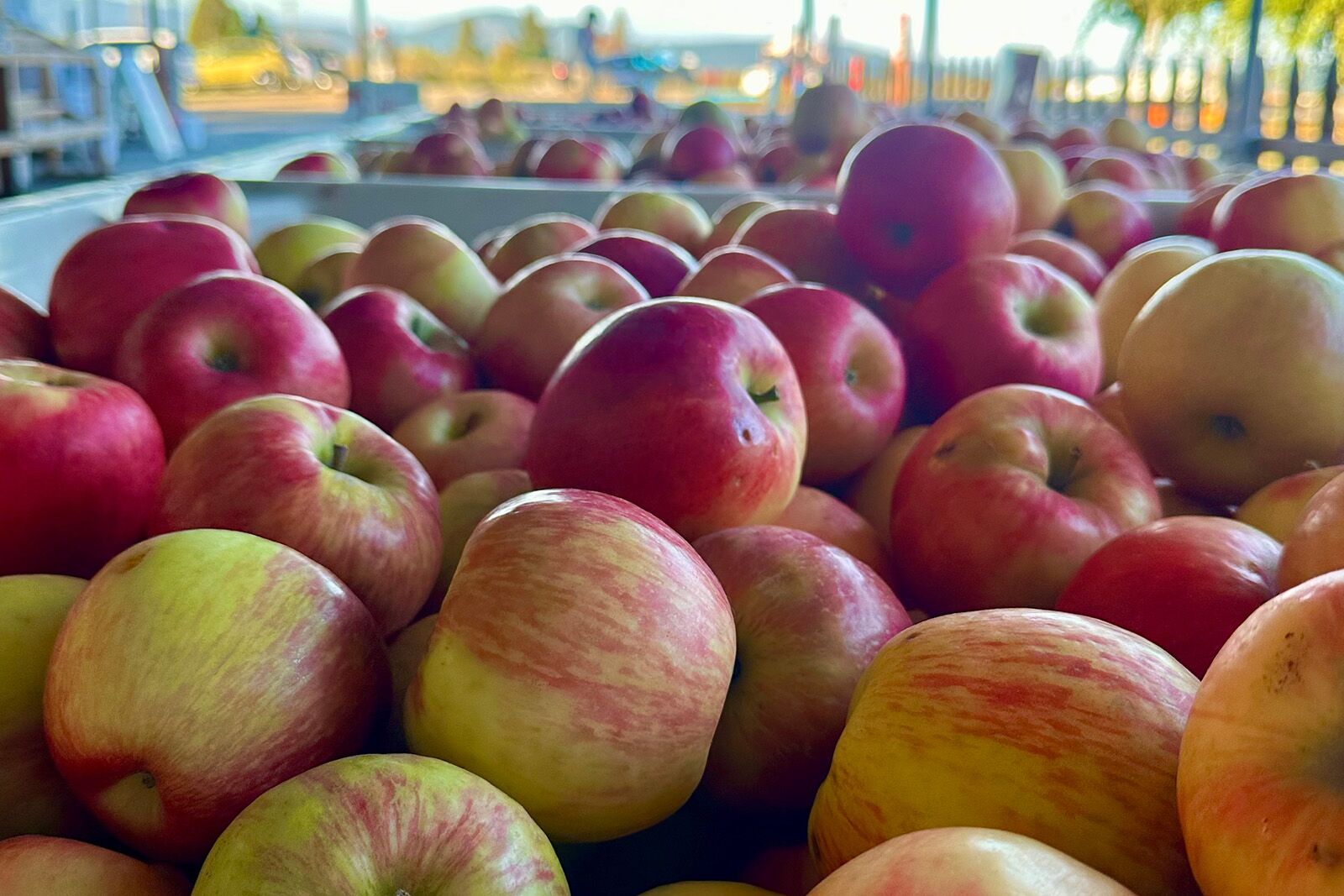
Transportation has always been vital to the development of the Hood River Valley. The Mount Hood Railroad, which began operations in 1906, was initially engineered to haul timber from the mills in Dee, Oregon, to the river ports. As the logging industry shifted, the railway pivoted toward the transportation of fruit and, eventually, tourism.
The line is notable for a rare engineering feature: a railroad switchback located three miles from the departure point in Hood River. This allows the train to gain elevation in a constrained canyon, representing one of only five such active railroad switchbacks remaining in the United States. Today, the railway provides a unique vantage point for observing the valley’s changing foliage and its transition from forest to agricultural land. The current operation serves as both a cultural museum and a conduit for visitors to reach rural production sites like The Fruit Company, providing a critical economic link for local agritourism.
The Spirit of the West: Pendleton’s Cultural Resilience
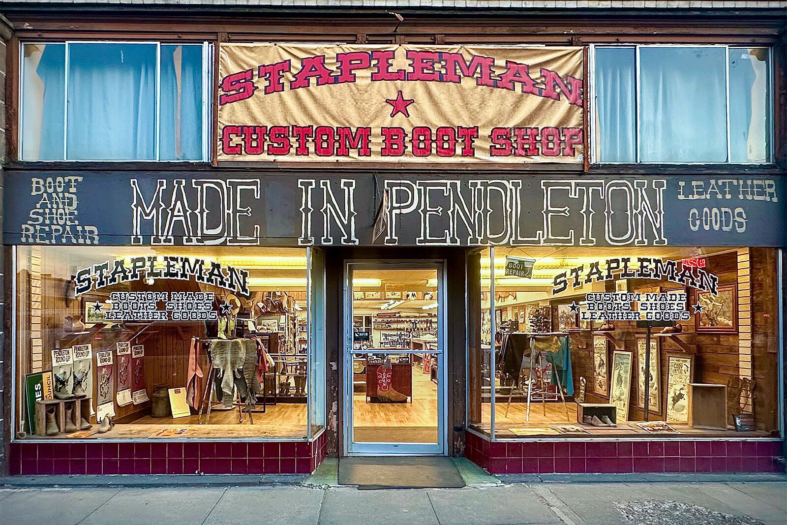
East of the Cascade Range, the landscape transitions into the high desert, where the city of Pendleton has preserved its identity as a nexus of Western culture. The Pendleton Round-Up, established in 1910, is widely considered one of the premier rodeo events in North America. The event is more than a sporting competition; it is a collaborative effort between the local population and the Confederated Tribes of the Umatilla Indian Reservation.
Historically, the Round-Up has been a platform for the Cayuse, Umatilla, and Walla Walla tribes to showcase their heritage, with a traditional tepee village serving as a focal point of the festivities. In 2026, the city expanded its cultural calendar with the launch of "Interwoven," a festival designed to celebrate Indigenous and Western fashion designers. By integrating runway shows with artisan markets and culinary collaborations, the event highlights a modern, nuanced approach to the Western aesthetic—moving beyond the stereotypical "cowboy" imagery to acknowledge the contemporary contributions of diverse creators.
Beneath the Surface: The Pendleton Underground
The architectural history of downtown Pendleton is uniquely documented through the Pendleton Underground Tours. While historical narratives regarding these subterranean spaces—which include accounts of prohibition-era speakeasies and the living quarters of Chinese laborers—have been debated by historians, the structures themselves remain a subject of fascination. Prism-glass "vault lights," visible on the modern-day sidewalks, serve as the original lighting system for the basements below.
The tour includes the former residence and business of Stella Darby, a prominent figure in Pendleton’s 20th-century history. As the city’s most recognized madam from 1928 to 1967, Darby’s operations were woven into the social fabric of the city. The preservation of these sites, including the conversion of parts of the former bordello into the Working Girls Hotel, represents an effort to maintain the physical record of the city’s complex, often illicit, social history.
High Desert Ecology and Dark Sky Preservation
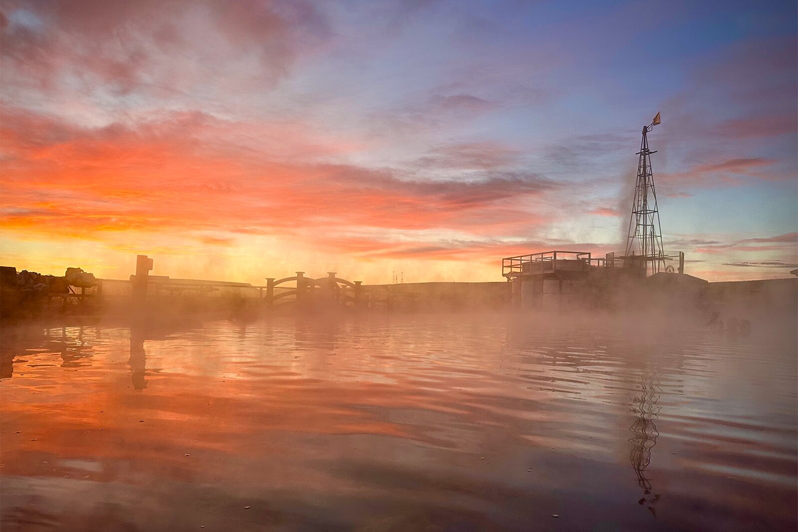
The high desert of Eastern Oregon offers a starkly different environment from the lush western half of the state. Near Burns, the Crane Hot Springs property demonstrates the ecological value of the region. The area is classified under the Bortle Scale as a Class 1 dark-sky site, indicating a near-total absence of light pollution. This makes the region a critical site for astronomical observation and ecological study.
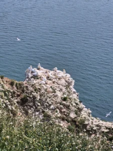
The nearby Malheur National Wildlife Refuge, encompassing over 187,000 acres, provides a vital stopover for migratory birds traversing the Pacific Flyway. The refuge is a key component of federal conservation efforts in the Great Basin. Visitors are encouraged to observe the area’s sensitivity, as migratory patterns and the health of the local mineral springs are closely tied to the stability of the high-desert ecosystem.
Culinary and Hospitality Infrastructure
The hospitality sector in these regions has evolved to reflect both the history of the land and modern expectations of sustainability. In Cascade Locks, the Brigham Fish Market serves as a model of tribal entrepreneurship, with sisters Kim Brigham-Campbell and Terrie Brigham leveraging their lineage as members of the Confederated Tribes of the Umatilla Indian Reservation to provide sustainable, river-caught fish.
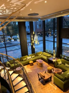
In Hood River, the Lightwell Hotel & Spa and restaurants like Alia represent the modernization of rural lodging, blending historical building restoration with contemporary amenities. Similarly, The Retreat at Silvies Valley Ranch near Seneca serves as a high-end example of "agri-resort" development. Spanning 150,000 acres, the ranch operates as a functional cattle operation while simultaneously promoting sustainable tourism. Their use of goats as caddies on their golf course, while unconventional, highlights the ranch’s emphasis on integrated land use.
Strategic Travel Considerations
Traveling through inland Oregon requires a pragmatic approach to logistics. Portland International Airport (PDX) is the primary entry point for international and national travelers. However, the geographic scale of the state necessitates the use of a private vehicle. The transition from the temperate climate of the Willamette Valley to the arid, high-altitude desert of the southeast presents distinct environmental challenges.
Travelers should be aware that the Historic Columbia River Highway is subject to seasonal closures and capacity limits during peak tourist months. Furthermore, the distance between service stations in the high desert can exceed 50 miles in some stretches. Organizations such as First Nature Tours provide structured alternatives for those who prefer to mitigate the risks associated with long-distance navigation.
Ultimately, the region east of Portland offers a comprehensive view of Oregon’s evolution. From the early industrialism of the railroad and the agricultural legacy of the Fruit Loop to the ongoing preservation of Indigenous culture and the conservation of dark-sky environments, the interior of the state remains a critical component of the Pacific Northwest’s identity. Engaging with these sites requires a commitment to respecting both the environmental fragility of the high desert and the historical significance of the communities that continue to define the American West.