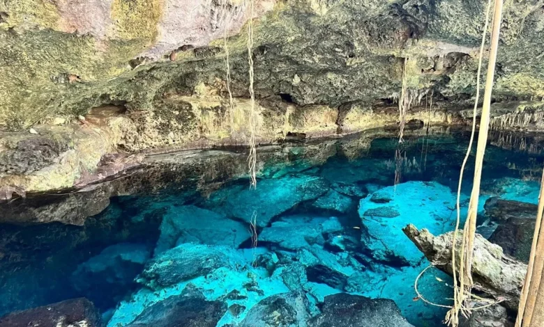
The Riviera Maya remains one of the few global destinations where travelers can seamlessly transition from exploring ancient Maya architectural ruins to swimming in the turquoise Caribbean Sea and floating in crystal-clear freshwater sinkholes within a single day. Year-round warm weather complements this geographical diversity, drawing millions of international visitors annually to the coastline of Quintana Roo, Mexico. Among these natural attractions, the region’s subterranean sinkholes, locally known as cenotes, hold a unique ecological and cultural significance that distinguishes the Yucatán Peninsula from almost any other landscape on Earth.
Geological Formation and Hydrological Significance
To understand the cenotes, one must first examine the unique geology of the Yucatán Peninsula. The region features an absence of surface rivers; instead, rainfall filters slowly through porous limestone bedrock over thousands of years, creating an intricate, subterranean network of freshwater rivers and flooded caves. This hydrological system serves as the primary freshwater source for the entire region.
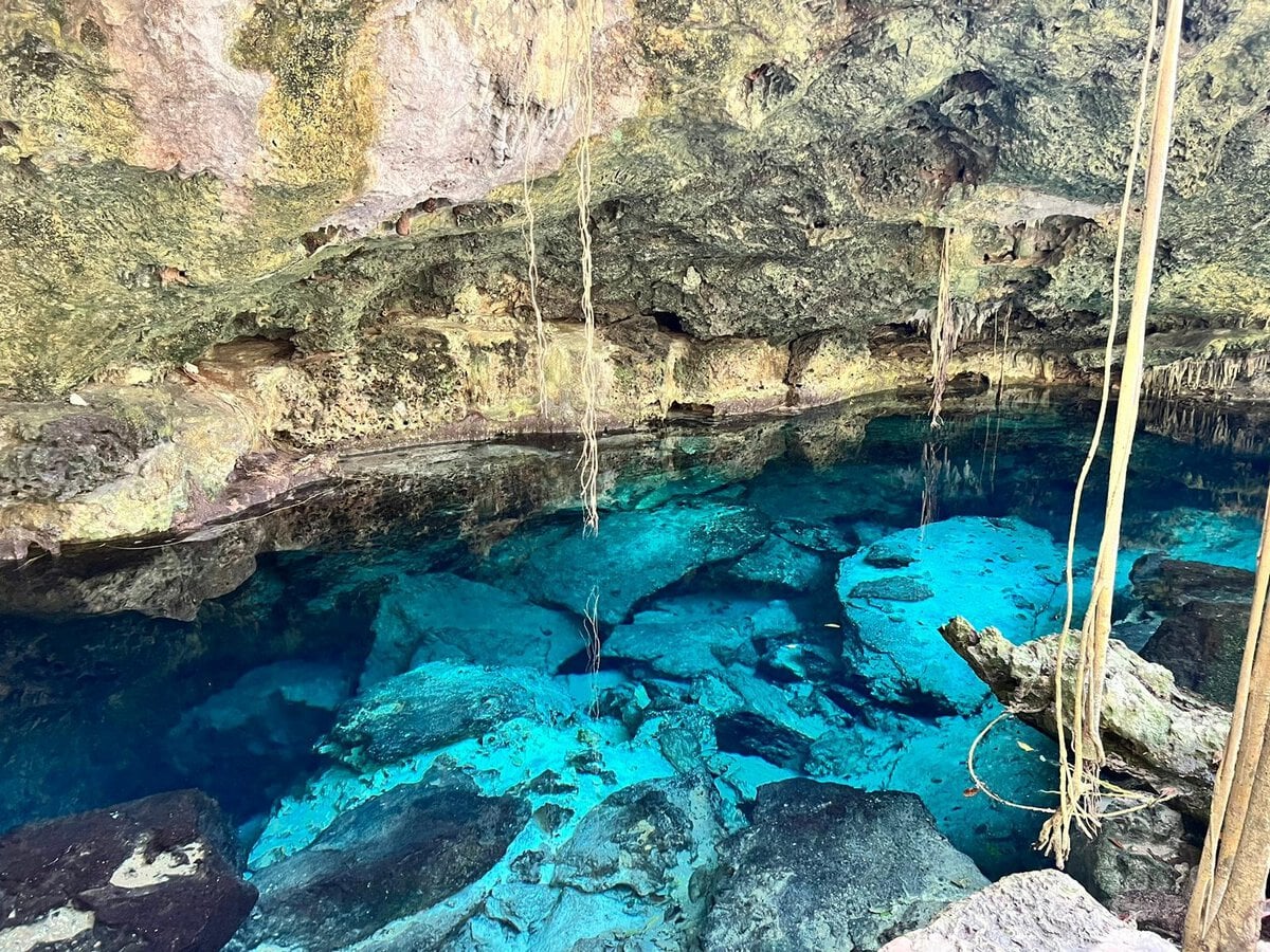
Historically, the ancient Maya civilization depended entirely on these natural sinkholes for survival, establishing their settlements near major water portals and viewing the subterranean pools as sacred thresholds to the underworld, or Xibalba. Modern communities continue to rely on the underlying aquifer, making ecological preservation an urgent priority for local authorities, environmental scientists, and tourism operators.
Beneath the jungle canopy, these freshwater systems span colossal distances. The Riviera Maya hosts two of the world’s most extensive underwater cave systems: Sistema Sac Actun and Sistema Ox Bel Ha, located near Tulum. For nearly two decades, these two expansive networks have vied for the title of the world’s longest underwater cave system, stretching across hundreds of mapped kilometers of flooded tunnels, echoing chambers, and limestone formations.
Classification of Cenotes: Open, Semi-Open, and Cave Systems
Environmental scientists and local guides categorize cenotes into three distinct structural typologies, each offering a fundamentally different aquatic and visual experience for visitors.
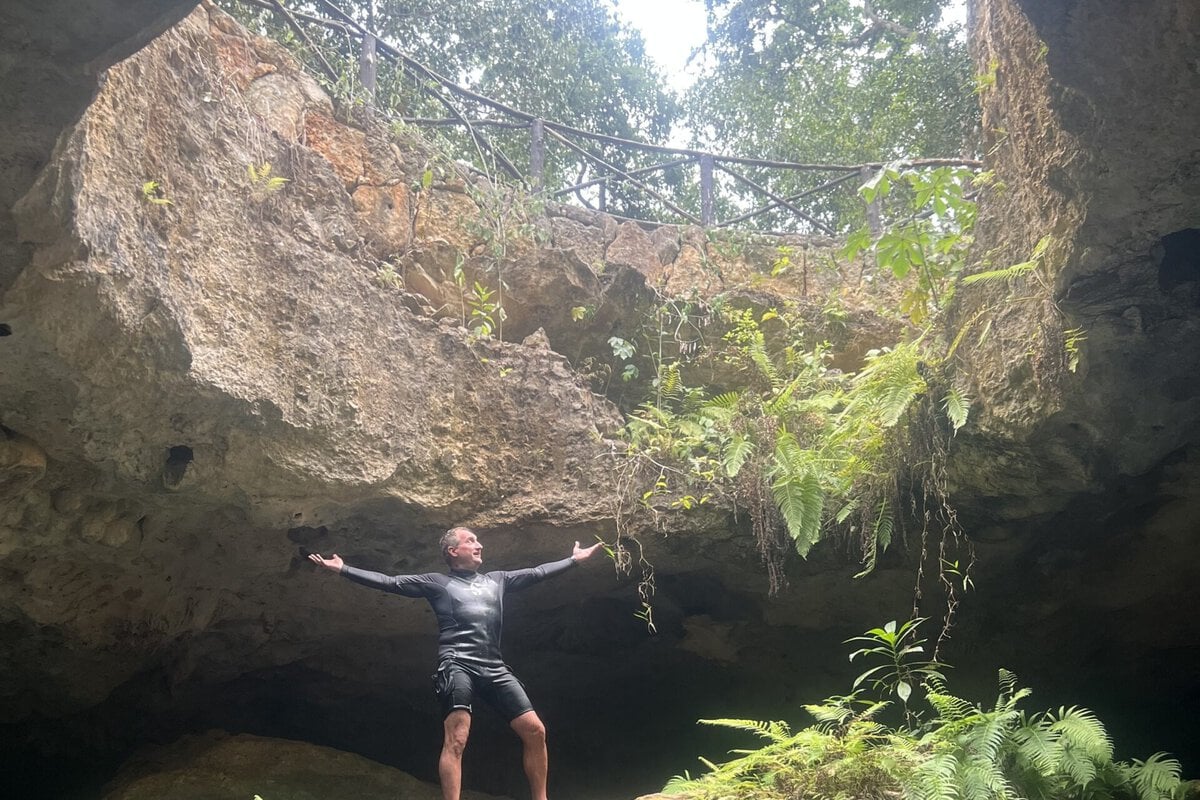
Open Cenotes
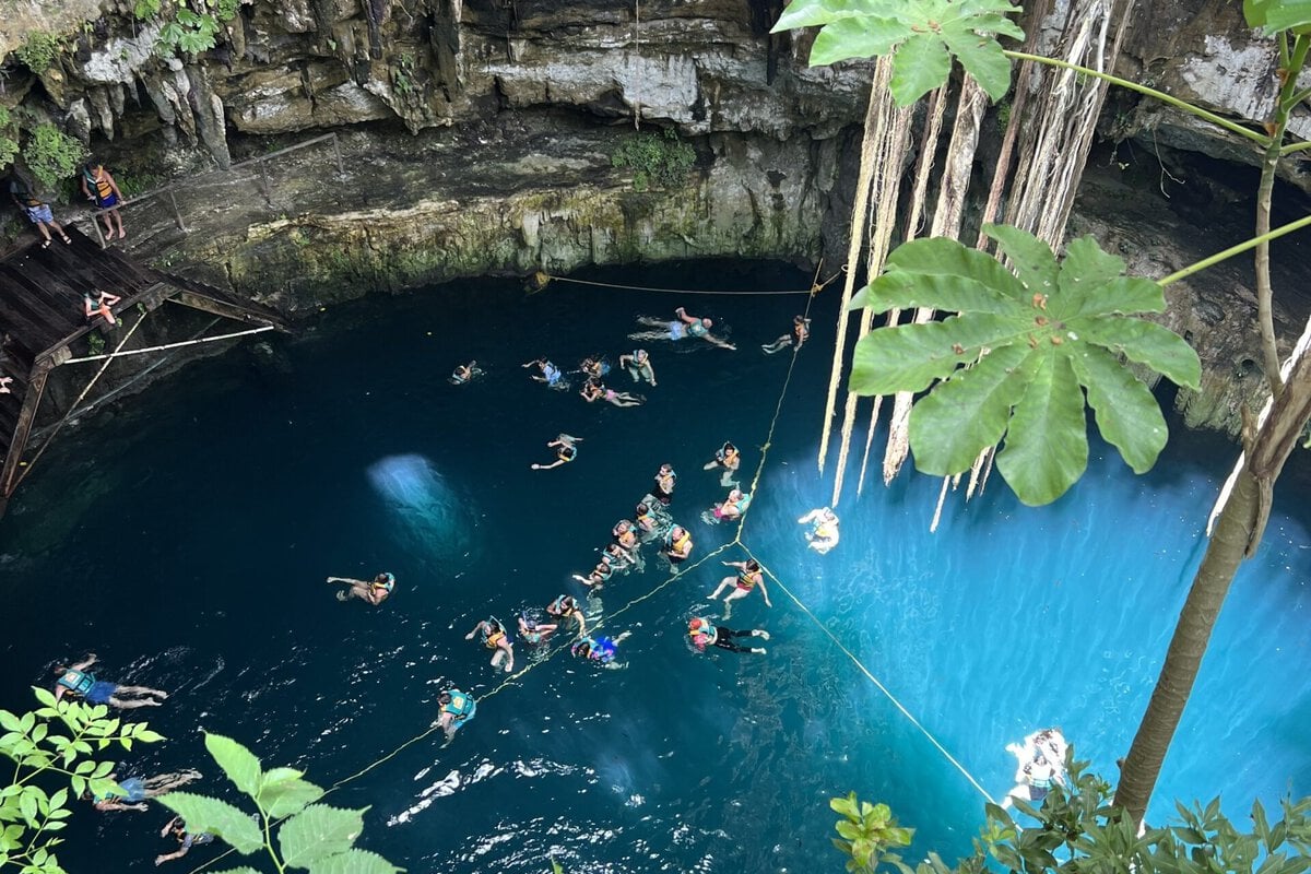
Open cenotes represent fully collapsed cave ceilings that expose the underlying water table directly to the sky. Because these pools receive unfiltered, direct sunlight, aquatic vegetation and surrounding jungle flora flourish along their edges, frequently imparting a distinct emerald-green hue to the water. These environments are generally more accessible and family-friendly, particularly shallower open cenotes where visibility reaches the sandy or rocky bottom, providing a reassuring environment for younger swimmers. However, deeper open cenotes require careful evaluation before entry.
Semi-Open Cenotes
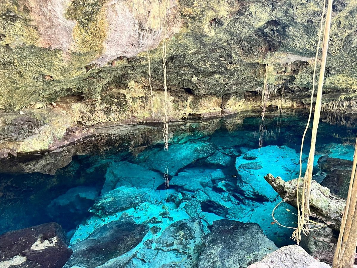
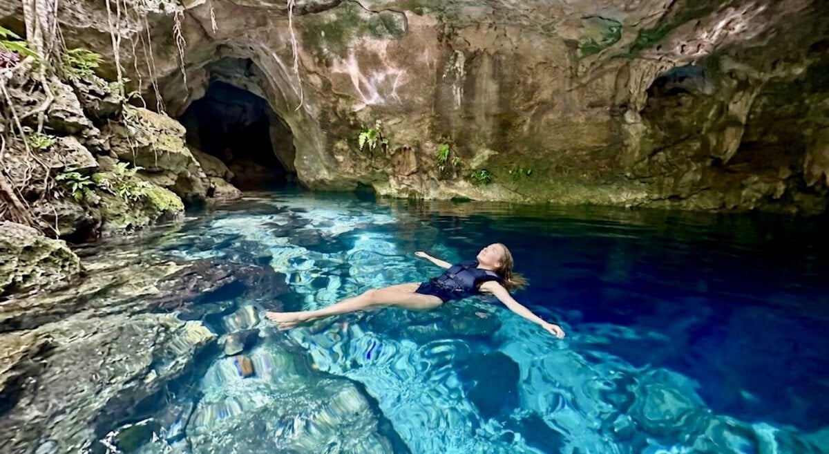
Semi-open cenotes retain partial limestone roof coverage, which filters intense direct sunlight and prevents significant plant growth within the water column. As a result, the water inside semi-open cenotes maintains exceptional clarity and a deep azure or sapphire coloration. The high transparency allows snorkelers and casual swimmers to observe rock formations, fish life, and submerged tree roots at considerable depths even without professional equipment.
Cave Cenotes
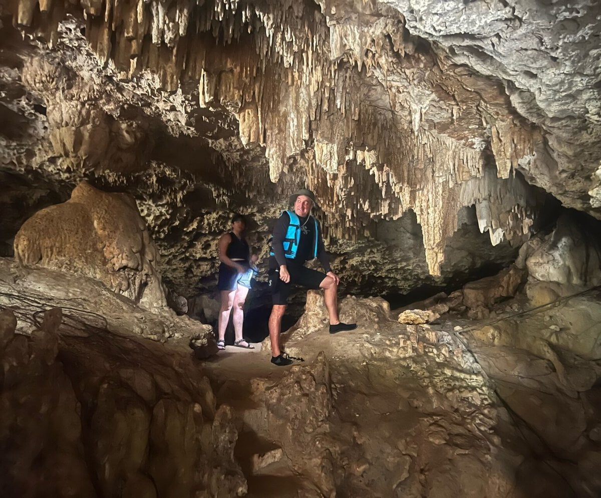
Cave cenotes are completely enclosed subterranean chambers with minimal natural light filtering through narrow rock fissures or small structural openings. Exploration of these spaces typically requires artificial illumination. While some cave cenotes feature designated swimming areas outfitted with artificial boardwalks and safety lighting for general tourists, fully enclosed sections are strictly restricted to certified cave divers. Navigating these submerged caverns demands specialized technical training, redundant air supplies, dual-tank configurations, and dedicated cave-diving certification to ensure safety amid stalactites, stalagmites, and total darkness.
Conservation Protocols and Environmental Etiquette
As tourism in the Riviera Maya accelerates, managing the environmental footprint of visitors has become a critical operational challenge for local environmental agencies and private landowners. Strict protocols govern aquatic recreation within the subterranean network.
Visitors are strongly advised to abstain from applying chemical sunscreens, lotions, and insect repellents prior to entering the water. Traditional sunscreens contain oxybenzone and other chemical compounds that form an oily film on the surface of the water, disrupting delicate freshwater micro-ecosystems and damaging ancient mineral formations. Instead, environmental authorities recommend the use of physical barrier garments, such as ultraviolet-protective rash guards, and biodegradable, eco-certified insect repellents.
Additional conservation regulations include mandatory pre-swim rinsing showers to eliminate organic residues from human skin, strict adherence to a "look but don’t touch" policy regarding stalactites and fragile flora like the toxic chechén tree, and the complete prohibition of food and alcoholic beverages within the immediate swimming zones. The mandatory use of flotation devices is frequently enforced at specific sites to prevent swimmers from standing on fragile sediment beds or damaging delicate rock structures.
Strategic Planning: Timing, Crowds, and Location Selection
The immense popularity of the Riviera Maya has transformed several high-profile cenotes into heavily trafficked tourist destinations, prompting travel experts to advocate for strategic planning to preserve the tranquility of the experience.
Timing remains the most effective variable for avoiding congestion. Major sites, such as Gran Cenote near Tulum, frequently experience peak visitor volumes between 10:00 AM and 2
:00 PM as tour buses arrive from Cancún and Playa del Carmen. Industry professionals recommend scheduling visits immediately upon opening—typically around 9:00 AM—or opting for weekday excursions rather than weekend trips.
Furthermore, travelers seeking solitude increasingly bypass heavily advertised, roadside locations in favor of smaller, privately managed cenotes nestled deeper within the jungle. While public beaches in Mexico are federally regulated and universally accessible, smaller privately owned cenotes offer restricted visitor capacities, providing a more isolated and contemplative encounter with nature. Base locations such as Puerto Morelos and Akumal generally offer a quieter atmosphere compared to the bustling commercial centers of Playa del Carmen and the vibrant, high-energy beach zones of Tulum.
Climatic Seasons and Travel Logistics
The Riviera Maya maintains a warm, tropical climate year-round, ensuring that water temperatures within the subterranean cenotes remain consistently refreshing regardless of the season. However, surface weather patterns vary significantly throughout the year.
The dry season, spanning from December to April, brings lower humidity, minimal precipitation, and comfortable temperatures, making it the peak tourism period for the entire region. Conversely, the wet season runs from May to November, characterized by higher humidity, warmer temperatures, and frequent afternoon tropical showers. While this period coincides with the Atlantic hurricane season—officially active from June 1 to November 30—storms are typically brief, and the season offers travelers the advantage of reduced visitor numbers and lower accommodation rates.
Transportation infrastructure throughout Quintana Roo has expanded significantly in recent years. International travelers arrive primarily through Cancún International Airport (CUN) or the newer Felipe Carrillo Puerto International Airport (TQO) in Tulum. Ground transportation options range from long-distance ADO public buses and private airport transfers to ride-sharing services like Uber and InDrive, alongside the regional Tren Maya railway network, which connects major archaeological zones, urban centers, and transportation hubs.
Broader Economic and Ecological Implications
The economic reliance on cenote tourism has created a complex dichotomy for the Riviera Maya. On one hand, the influx of tourist revenue provides essential financial support for local ejidos (communally held lands) and indigenous Mayan cooperatives, funding conservation initiatives and sustainable community development. On the other hand, unregulated tourism, unmonitored wastewater runoff, and rapid commercial real estate development pose a continuous threat to the delicate equilibrium of the interconnected subterranean aquifer.
Environmental scientists and regional water authorities continue to lobby for stricter regulatory enforcement, carrying-capacity limits, and comprehensive environmental impact assessments for all tourism infrastructure developed near fragile karst topography. Ensuring the long-term viability of these natural wonders depends on a collective commitment from government agencies, tour operators, and individual travelers to respect the ecological boundaries of one of the planet’s most remarkable freshwater ecosystems.
Related posts: