Conquering France’s Ultimate Alpine and Tropical Trails: A Comparative Thru-Hike Analysis of Corsica’s GR20 and Réunion Island’s GR R2

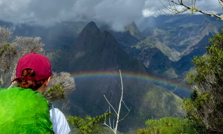
Long-distance backpacking has long drawn outdoor enthusiasts seeking physical isolation and extreme geographical challenges. Among European territories, France offers two of the most punishing and visually dramatic long-distance footpaths in the world: the legendary GR20 traversing the Mediterranean island of Corsica, and the lesser-known, intensely demanding GR R2 crossing Réunion Island, a French overseas department located in the Indian Ocean. While the GR20 has historically claimed the title of Europe’s most formidable trek due to its technical rocky terrain and punishing ascents, recent expedition data and thru-hiker accounts suggest that the tropical traverse of Réunion presents an equally, if not more, relentless physical test.
Evaluating these two monster routes requires looking closely at their distinct metrics. The Corsican GR20 spans approximately 112 miles with a staggering cumulative elevation gain of roughly 39,370 feet, typically completed over a 14-to-16-day window within a narrow summer season running from June to September. Conversely, Réunion’s GR R2 measures 109 miles with an almost identical vertical profile of 38,091 feet of elevation gain. However, the GR R2 compresses this extreme topography into a broader tropical window spanning May through November, introducing punishing humidity, dense rainforests, and rapidly changing microclimates that fundamentally alter the nature of the expedition.
Chronology and Geographical Breakdown of the GR R2
Traversing Réunion Island via the GR R2 is a multi-stage endurance test divided into distinct ecological zones, beginning in the northern capital of Saint-Denis and terminating on the southern coast at Basse Vallée.
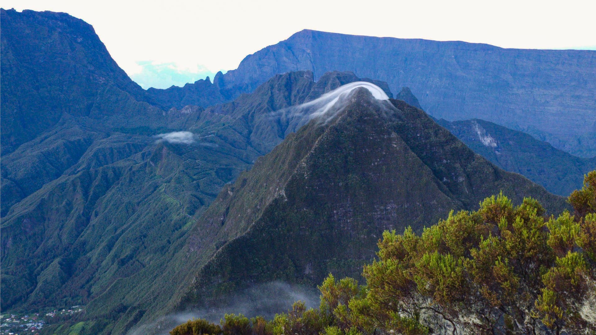
Part One: The Northern Jungle and Saint-Denis
The expedition initiates in La Providence, Saint-Denis, immediately confronting hikers with an intense vertical ascent of over 5,906 feet within a 14-mile span. This initial leg serves as a tropical baptism of fire. Unlike the exposed granite of European ranges, the northern section of Réunion plunges trekkers into thick rainforests where frequent equatorial downpours turn trails into treacherous, mud-slicked trenches.
Historically and ecologically, the terrain is unique. Réunion remained uninhabited until the mid-17th century, meaning much of its current flora and fauna consists of introduced species. Thru-hikers frequently encounter non-native wildlife such as giant African land snails and tenrecs—hedgehog-like mammals originally imported from Madagascar. The first major milestone, the Refuge de la Roche Écrite, acts as a staging ground for summiting the trail’s first major peak, a venture heavily dictated by cloud inversions and localized weather windows.
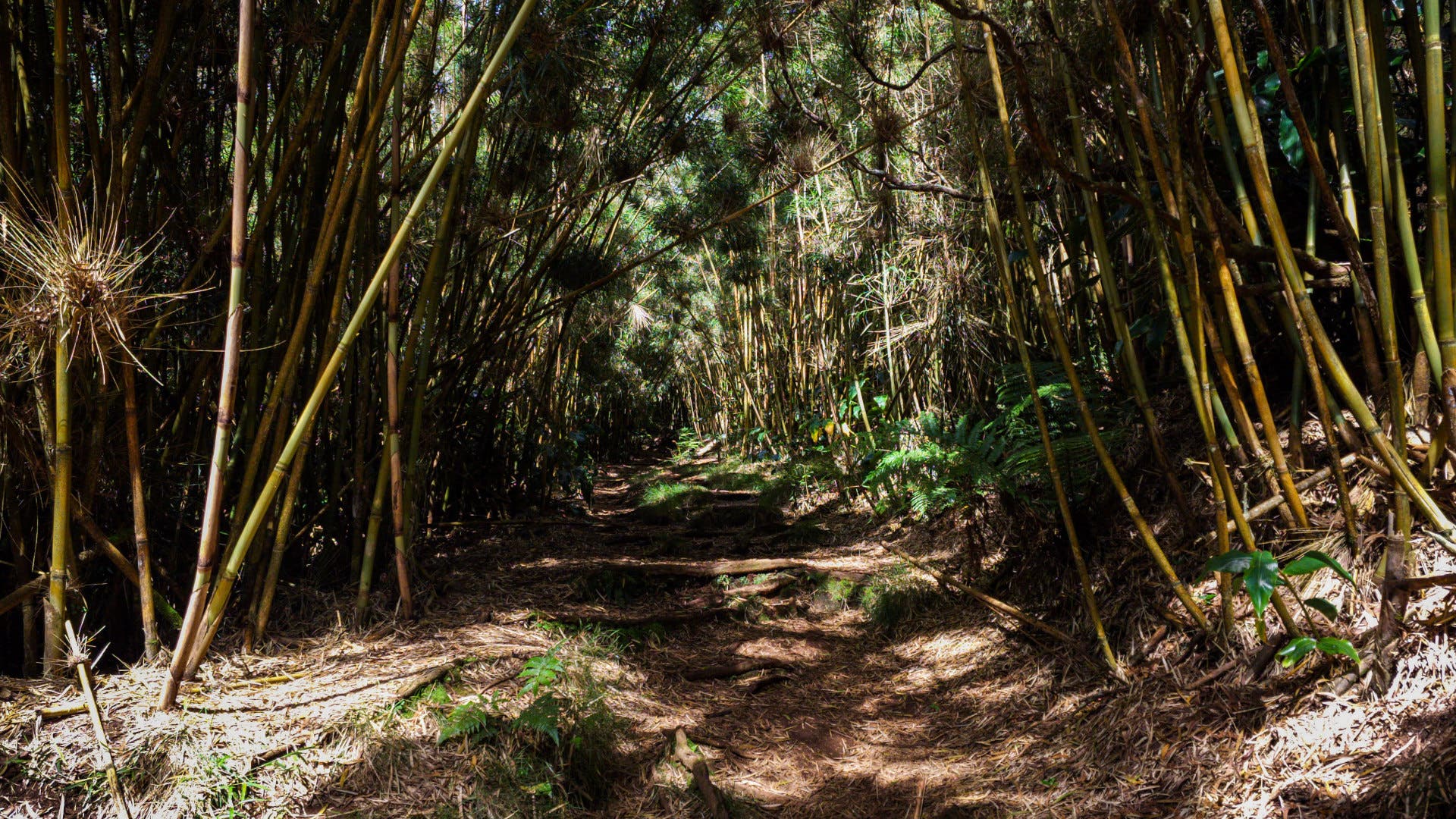
Part Two: The Roadless Volcanic Cirques of Saint-Paul
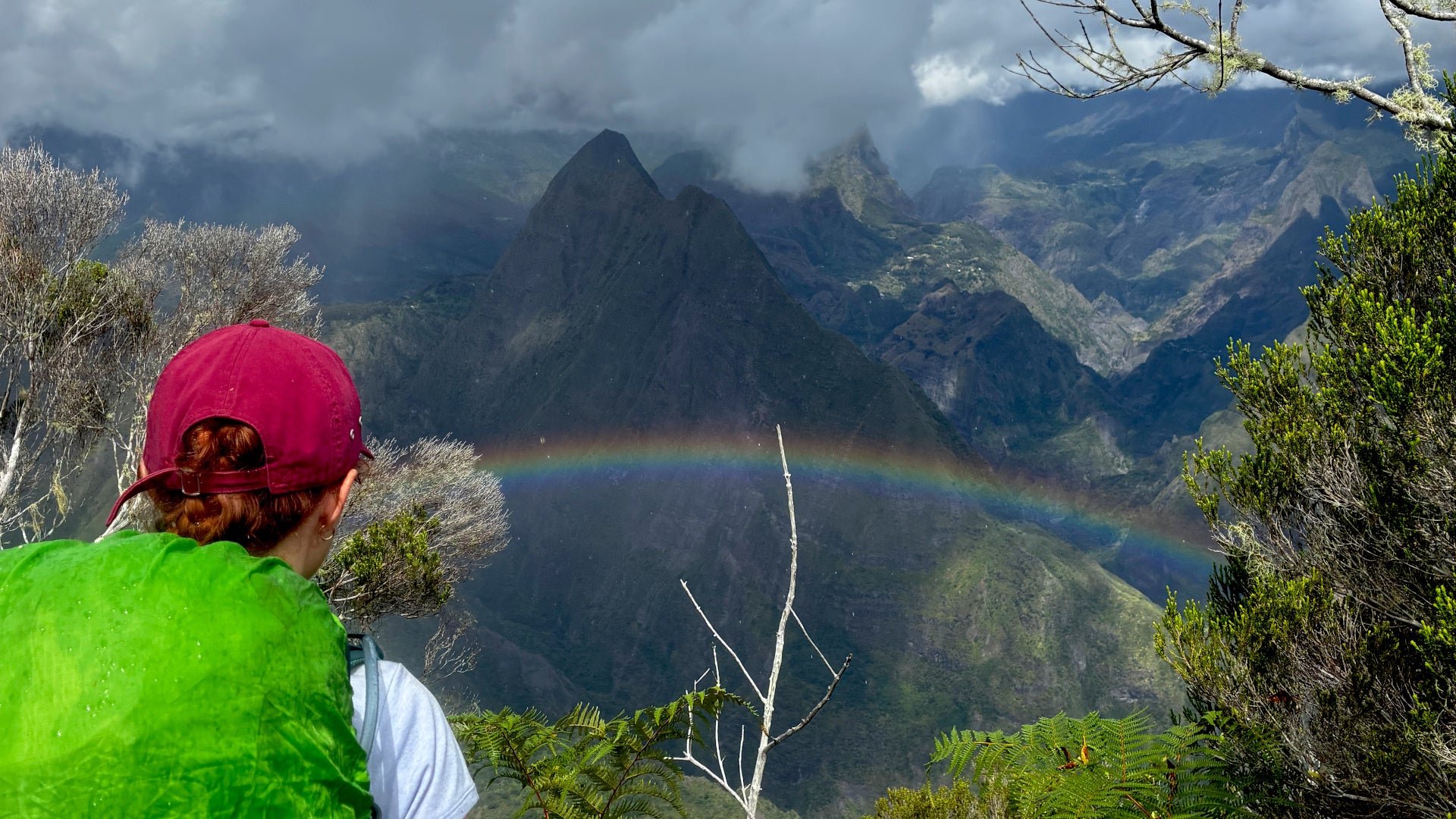
Progressing southward into the Saint-Paul district, the trail covers 35 miles and accumulates 15,600 feet of elevation gain over a recommended six-day stretch. After passing through the cliffside town of Dos d’Âne, the route plunges deep into the Cirque de Mafate, a massive, amphitheater-like volcanic caldera completely devoid of vehicular roads. All supplies within Mafate must be transported via helicopter, creating a deeply isolated cultural and geographic pocket.
Mafate’s isolation is deeply rooted in the island’s colonial history. During the period of marronnages—stretching from the mid-17th to the mid-19th centuries—thousands of enslaved people fled colonial plantations, seeking refuge in the most inaccessible recesses of the island’s interior. Today, vibrant settlements still cling precariously to steep cliff edges. Navigating this sector involves scaling technical rock faces aided by metal ladders and cables, though seasoned mountaineers note these are marginally less vertiginous than the infamous cliff chains of northern Corsica. Hikers can choose between wild camping and utilizing local gîtes (rural lodges) that serve traditional Reunionese cuisine and sustain the local mountain economy.
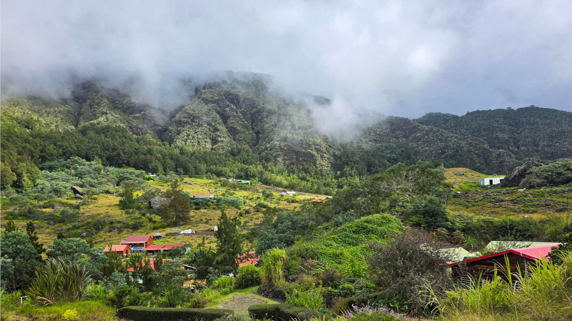
Part Three: Southern Highlands and Volcanic Slopes
The final 60-mile stretch into the Saint-Pierre district demands 14,948 feet of elevation gain over roughly five and a half days. Leaving the pastoral mountain hamlet of Cilaos—the largest inland town on the route—hikers face a punishing climb to the Refuge de la Caverne Dufour, the mandatory base camp for summiting Piton des Neiges, Réunion’s highest peak at 10,069 feet. Because wild camping is strictly prohibited across the surrounding slopes, the refuge often experiences high visitor density.
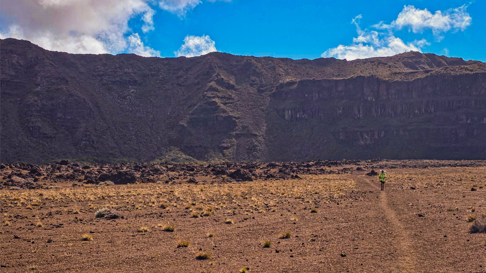
Beyond Piton des Neiges, the landscape shifts dramatically from lush green canopies to an arid, Martian topography of loose scree and volcanic ash as the trail approaches Piton de la Fournaise, one of the world’s most active shield volcanoes. The final descent from the volcanic highlands to the southern terminus at Basse Vallée requires navigating a relentless 7,546-foot drop over loose rock and exposed tree roots. Due to Réunion’s proximity to the equator, daylight hours remain consistent year-round, meaning early tropical sunsets leave little margin for error for hikers attempting to double up final stages.
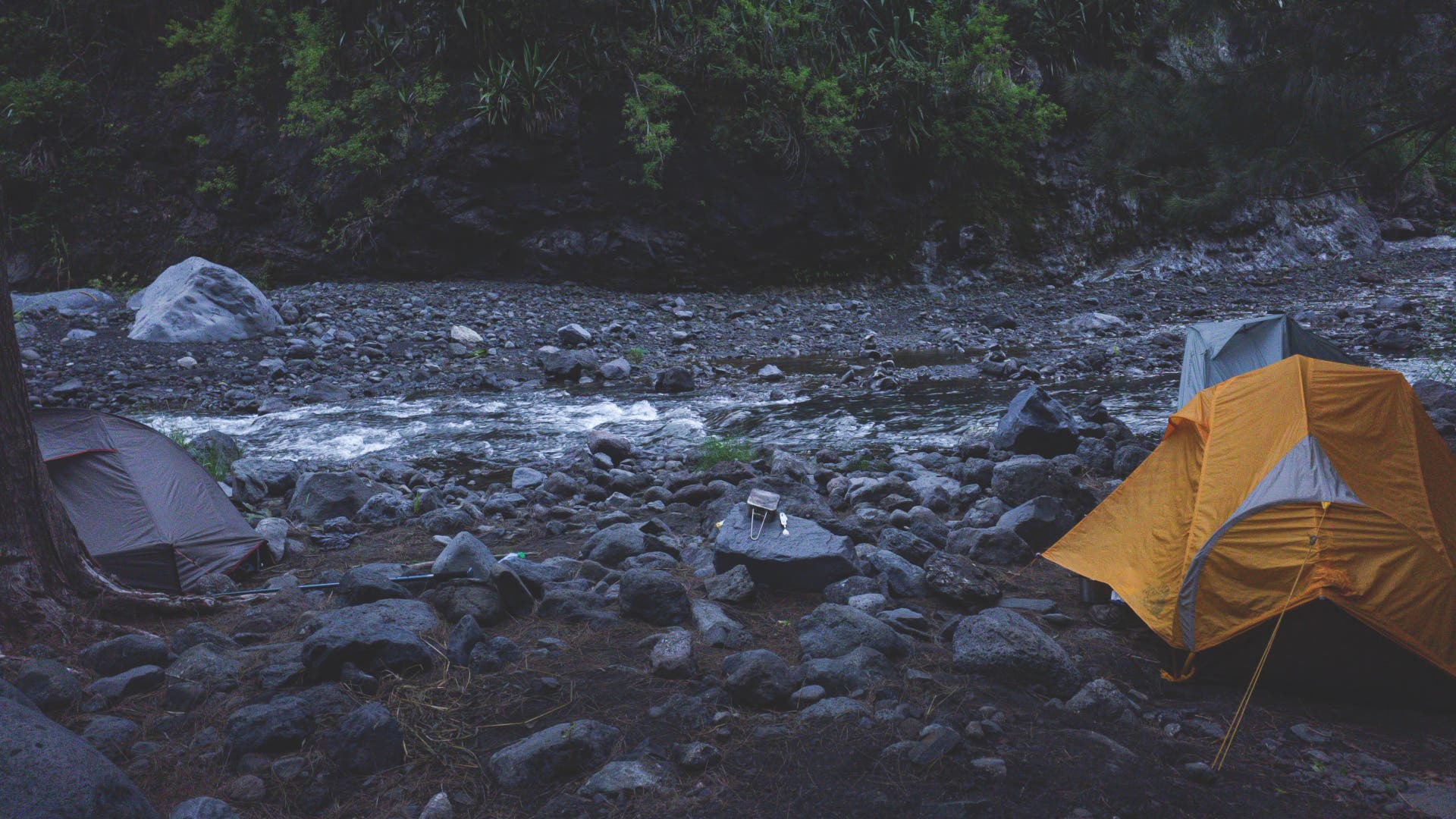
Comparative Metrics: GR20 vs. GR R2
| Trail Metric | GR R2 (Réunion Island) | GR20 (Corsica, France) |
|---|---|---|
| Total Distance | 109 miles (175 km) | 112 miles (180 km) |
| Elevation Gain | 38,091 ft (11,610 m) | 39,370 ft (12,000 m) |
| Recommended Duration | 11 to 15 days | 14 to 16 days |
| Best Hiking Season | May through November | June through September |
| Primary Climate | Tropical, high humidity, variable rain | Mediterranean, alpine, exposed rock |
| Annual Visitor Volume | Low to moderate | High (approx. 20,000+ annually) |
Navigational Challenges and Infrastructure
Logistical and navigational realities separate the two routes significantly. The GR20 in Corsica benefits from decades of established mountaineering infrastructure, extensive painted waymarkers, and high volumes of international traffic—exceeding 20,000 hikers annually. Even during off-season traverses when mountain refuges are shuttered, the physical path remains heavily documented.
Conversely, the GR R2 is frequently characterized by sparse trail markings, requiring modern technological safeguards such as pre-loaded GPS smartwatches to prevent dangerous off-trail deviations in dense jungle environments. While the GR20 features notorious bouts of technical scrambling across exposed granite ridges, outdoor analysts and long-distance veterans increasingly argue that the GR R2 presents a more relentless physical challenge. Every stage of the Reunionese traverse delivers sustained vertical gain compounded by high ambient temperatures and oppressive humidity.
Socioeconomic and Environmental Implications
The rise in popularity of both trails highlights shifting trends in global adventure tourism, placing increased pressure on fragile island ecosystems. On Réunion, community-run gîtes provide vital economic support to remote, roadless communities within the volcanic cirques, distributing tourist revenue directly to local families who rely on helicopter-supplied provisions. However, balancing this economic injection with strict environmental preservation remains a core management priority for the Parc National de La Réunion, particularly regarding waste management in areas where wild camping is legally restricted.
Ultimately, while the Corsican GR20 retains its historic crown as the standard-bearer for European alpine suffering, the GR R2 offers a superior alternative for thru-hikers prioritizing ecological diversity, shifting tropical microclimates, and profound wilderness solitude over established tourist infrastructure.