Infrastructure and the Great Walks Framework
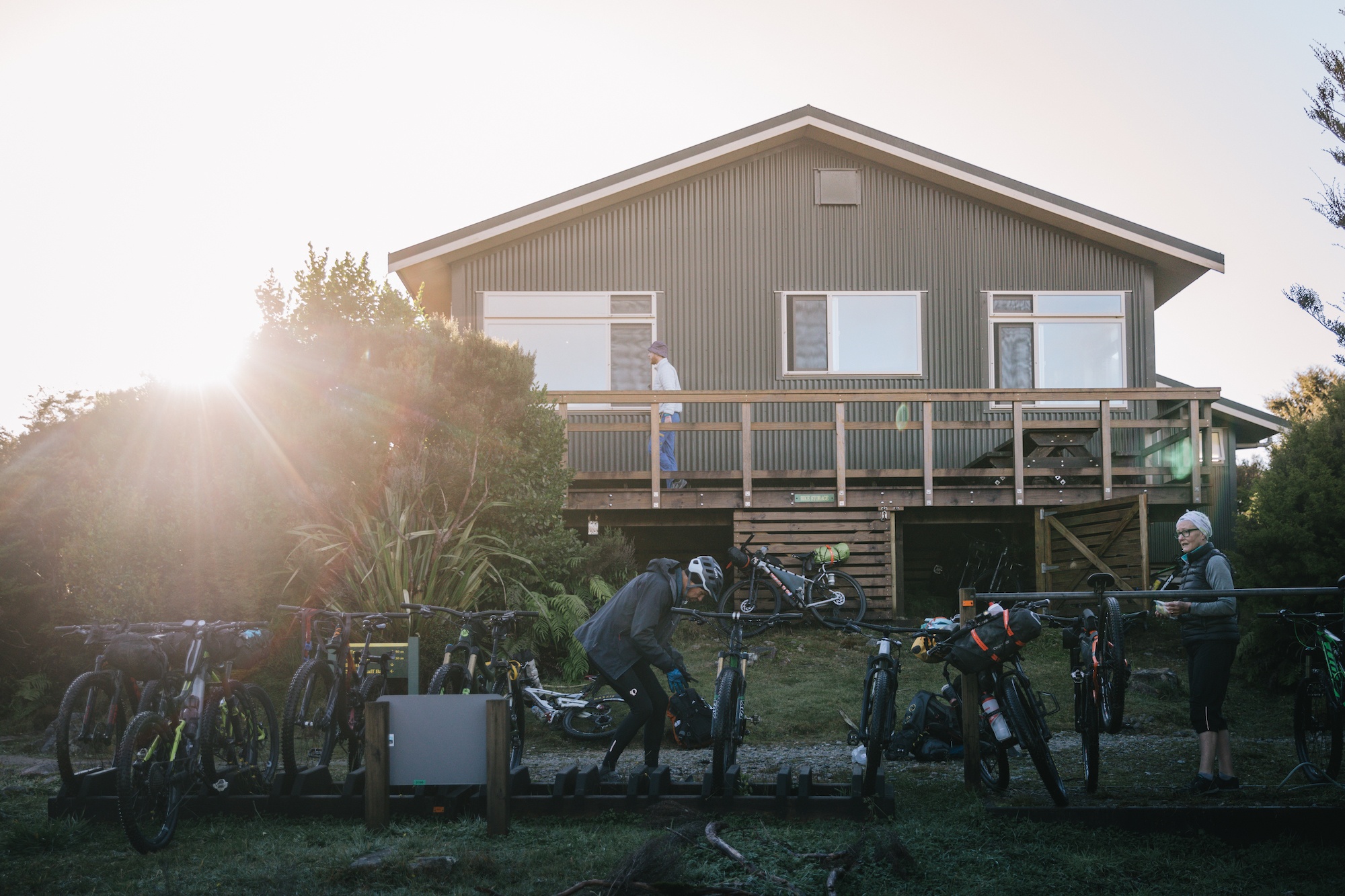
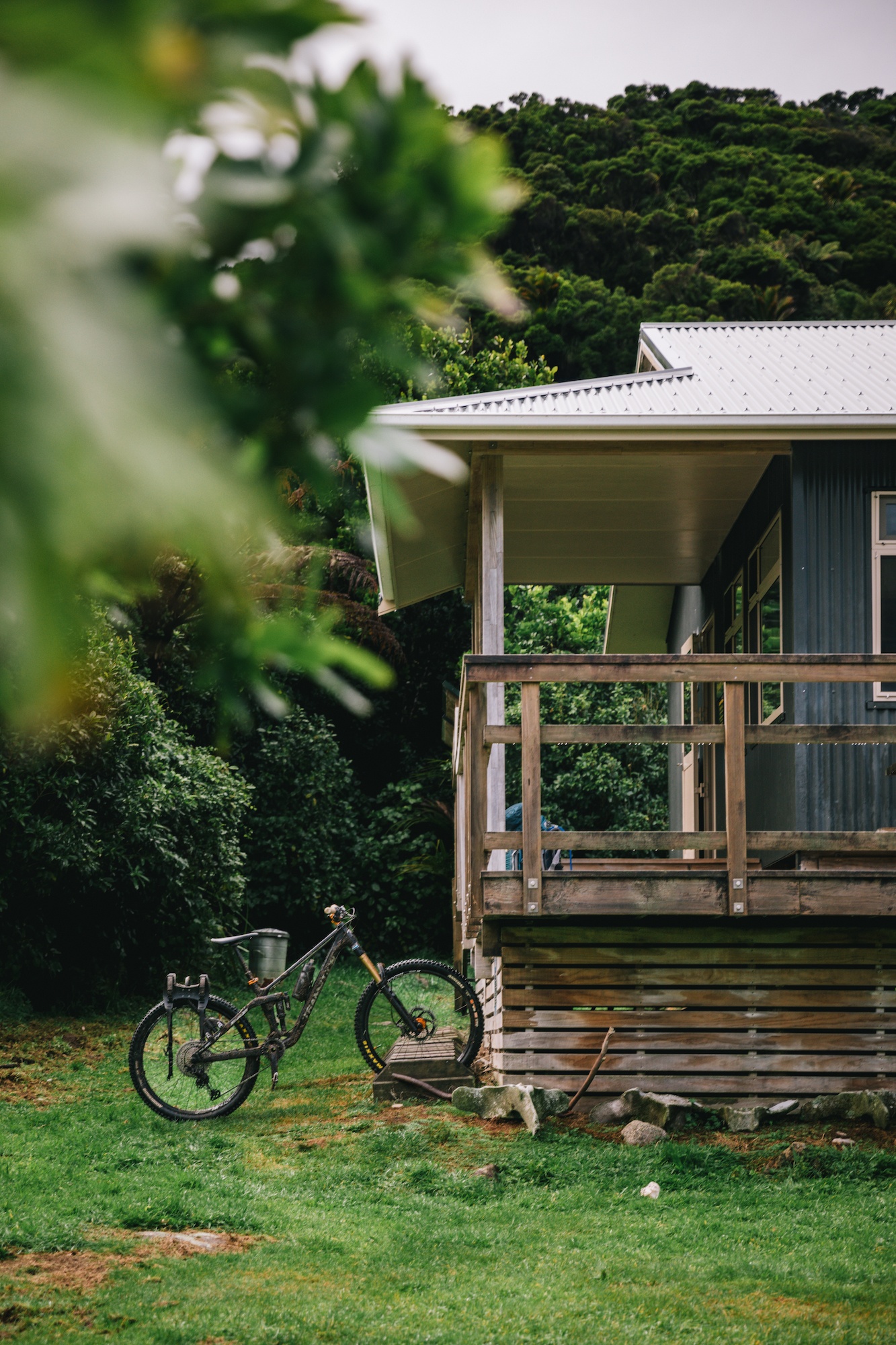
The Department of Conservation’s Great Walks system was established to manage high-demand areas by providing infrastructure that minimizes environmental impact while maximizing visitor safety. On the Heaphy Track, this is evidenced by the wide, well-graded paths that lack the technical "scrambling" often associated with New Zealand’s more rugged alpine routes. The track is designed to accommodate both hikers and, during the winter and autumn months (May 1 to November 30), mountain bikers.
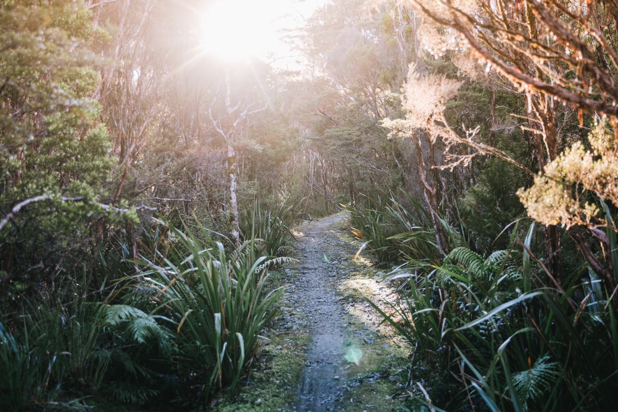
The facilities along the Heaphy Track include large, communal huts equipped with gas cooking facilities, heating, and, in some instances, flush toilets. These amenities are overseen by seasonal DOC wardens who provide safety briefings and environmental education. The higher cost associated with Great Walk hut passes—which often requires booking months in advance—funds the intensive maintenance required to keep the trails in "all-weather" condition. Unlike standard backcountry tramps, which may involve river crossings and deep mud, the Heaphy Track utilizes extensive bridging and boardwalks to protect sensitive sub-alpine ecosystems and ensure the route remains passable during heavy rainfall events.
Geographical Profile and Chronology of the Route
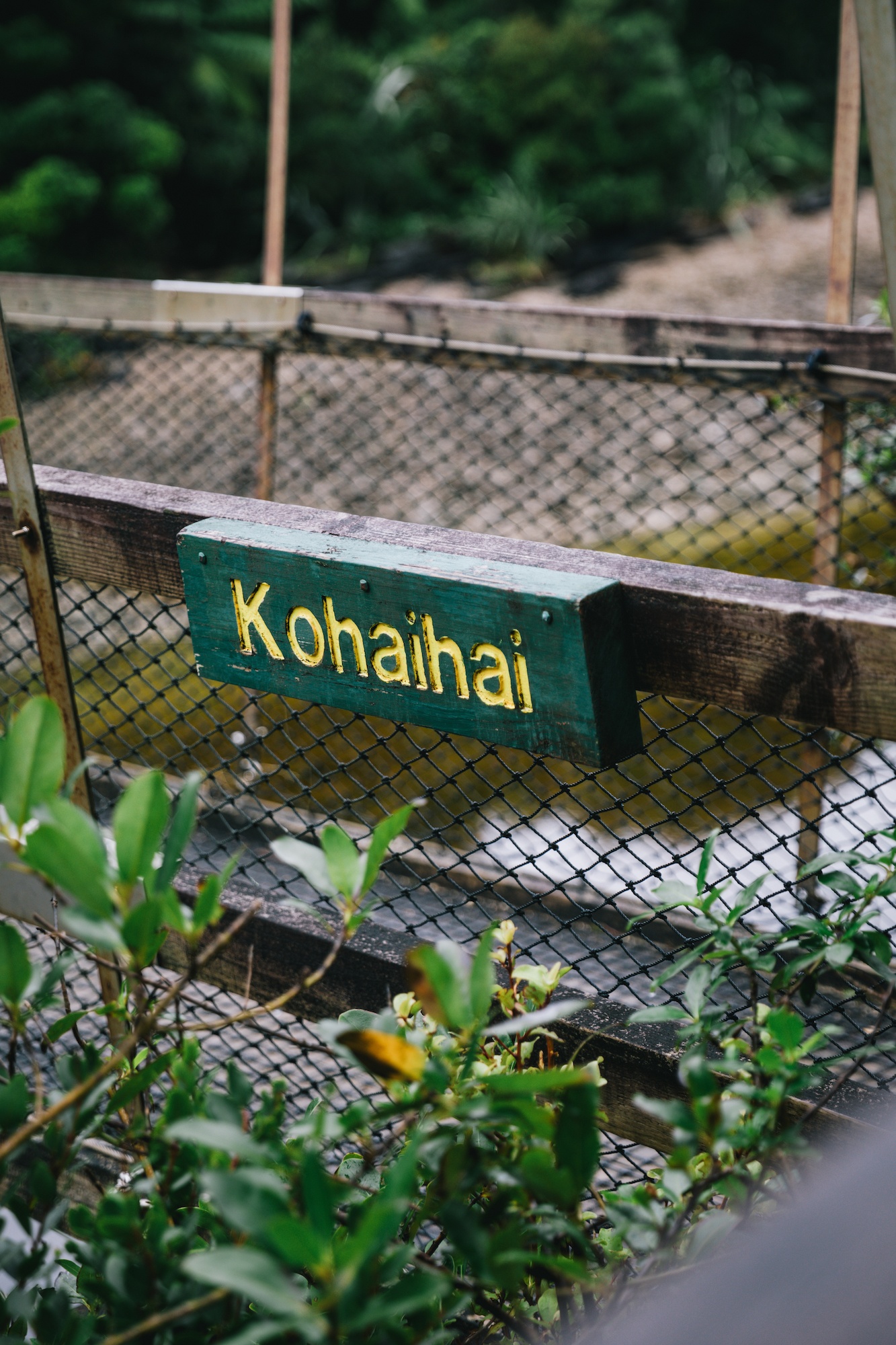
The 84-kilometer journey typically takes four to five days to complete on foot, though experienced hikers and mountain bikers may traverse it in less time. The track connects the Aorere Valley in Golden Bay with Kohaihai on the West Coast.
Day 1-2: The Inland Ascent and the Downs
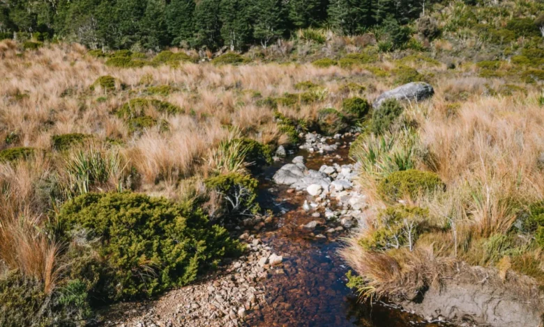
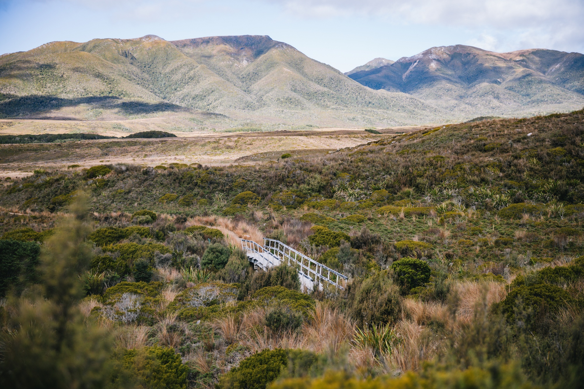
The journey often begins at the Brown Hut in the Aorere Valley, climbing gradually toward the Perry Saddle. Despite reaching an elevation of nearly 1,000 meters, the incline is engineered to be manageable, with an average gradient that avoids the steep "straight-up" climbs found in other national parks. The landscape transitions from lush beech forests to the expansive, red-tussock covered Gouland Downs. This area is geologically significant, featuring "karst" limestone formations and the "Big River" drainage system.
Day 3-4: The Forest and the Coast
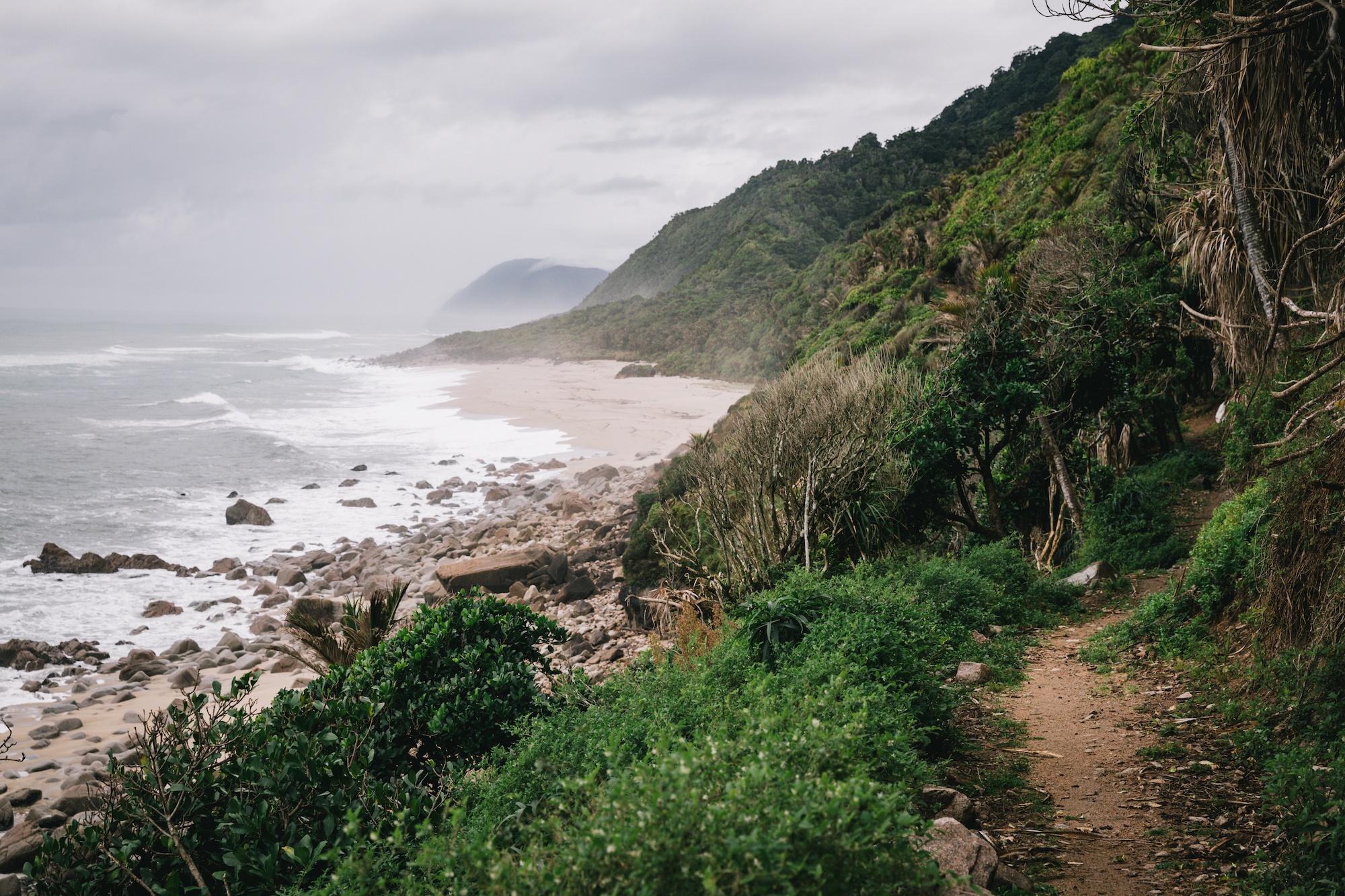
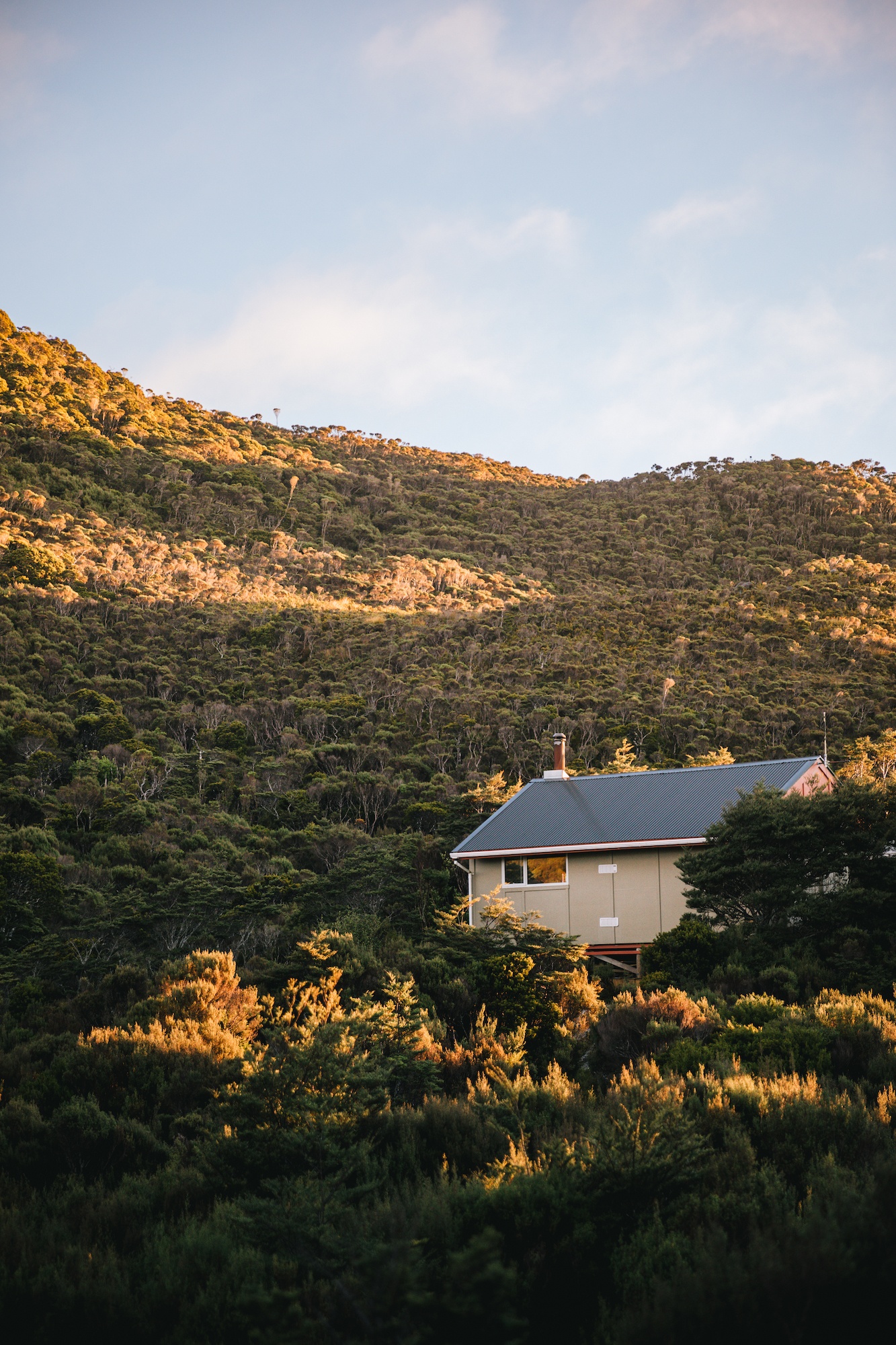
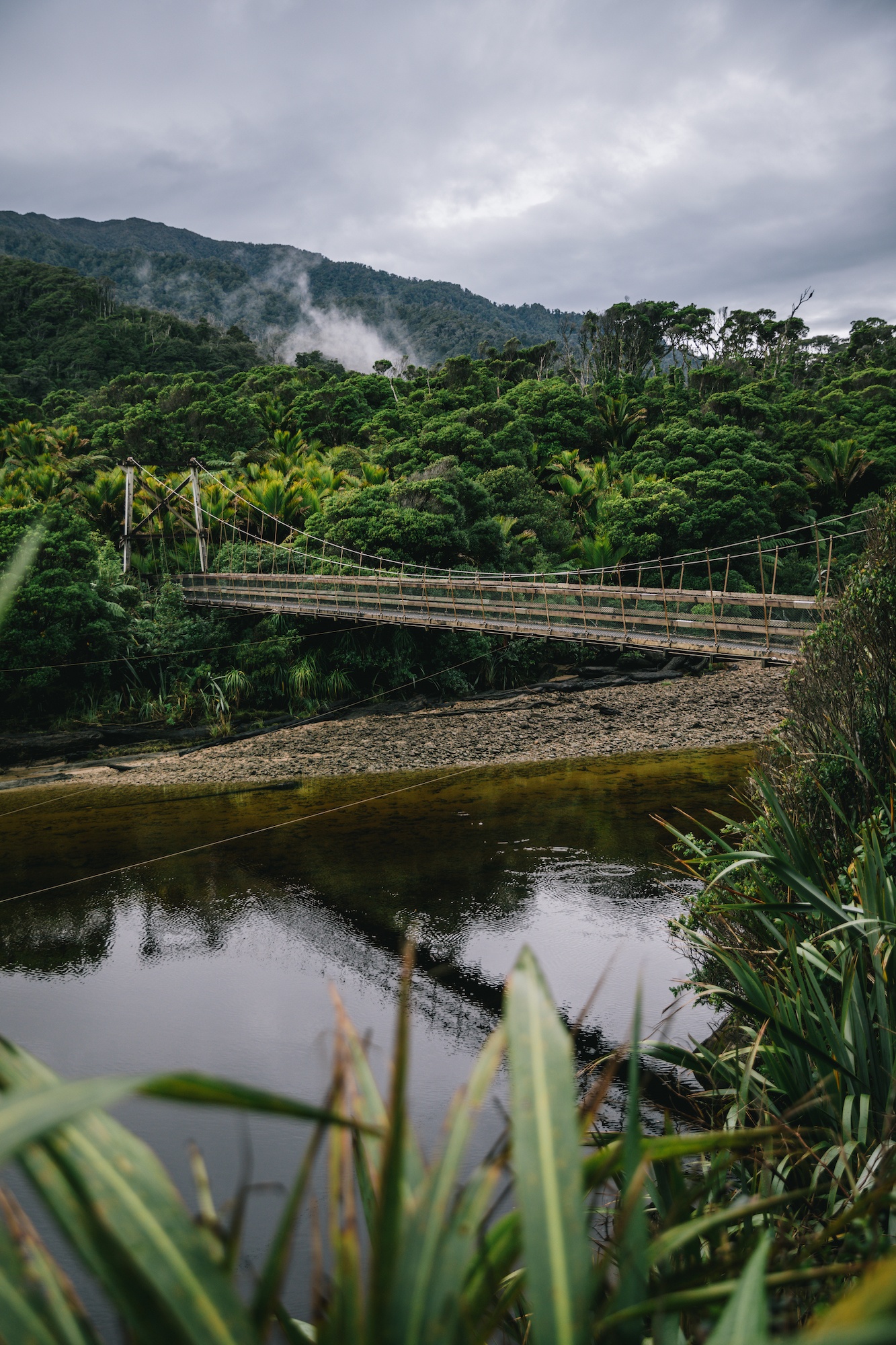
From the high downs, the track descends through enchanted forests toward the Heaphy River. The final leg of the journey follows the coastline from the Heaphy Hut to Kohaihai. This section is distinct for its groves of Nikau palms—the world’s southernmost palm tree—and its rugged, surf-beaten beaches. The biodiversity here is particularly dense, as the humid coastal climate supports a different suite of flora and fauna than the sub-alpine sections of the track.
Biodiversity and Conservation Milestones
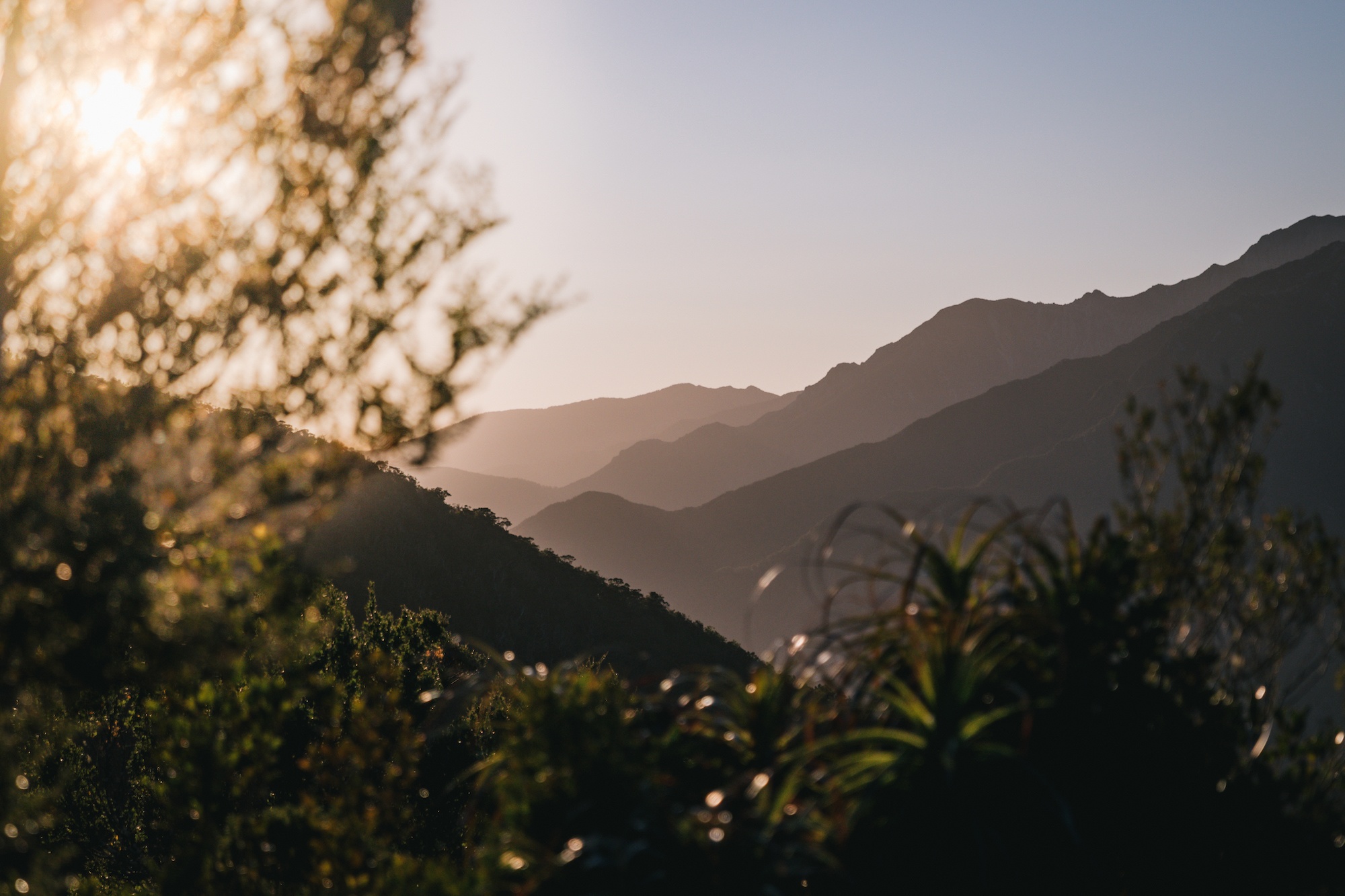
Kahurangi National Park, the second-largest national park in New Zealand, serves as a stronghold for several endangered species. The Heaphy Track is a primary site for the Department of Conservation’s "Kākāriki Karaka" (Orange-fronted parakeet) and Takahē recovery programs.
The Takahē Reintroduction
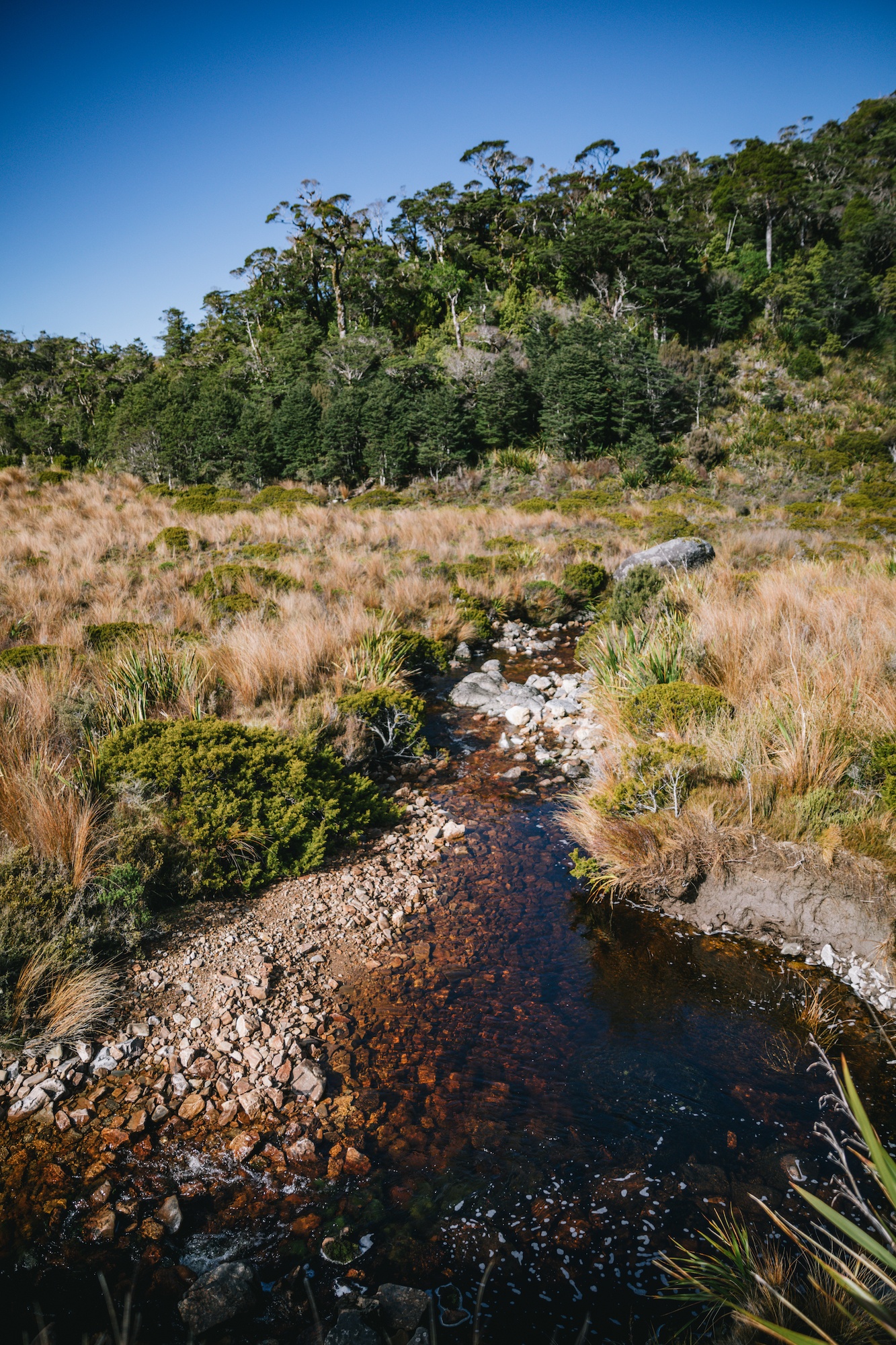
The most significant recent ecological milestone in the region was the 2018 release of a wild population of takahē into Kahurangi National Park. The takahē (Porphyrio hochstetteri) is a large, flightless bird that was declared extinct for fifty years before being rediscovered in 1948 by Dr. Geoffrey Orbell in the Murchison Mountains. As of 2024, the national population stands at approximately 500 individuals. The release in Kahurangi represents the establishment of a second wild population, a critical step in the species’ recovery. These birds are known for their high metabolic needs, with an individual takahē capable of producing up to nine meters of excrement daily as they forage on the succulent bases of snow tussock.
Predator Control and Native Fauna
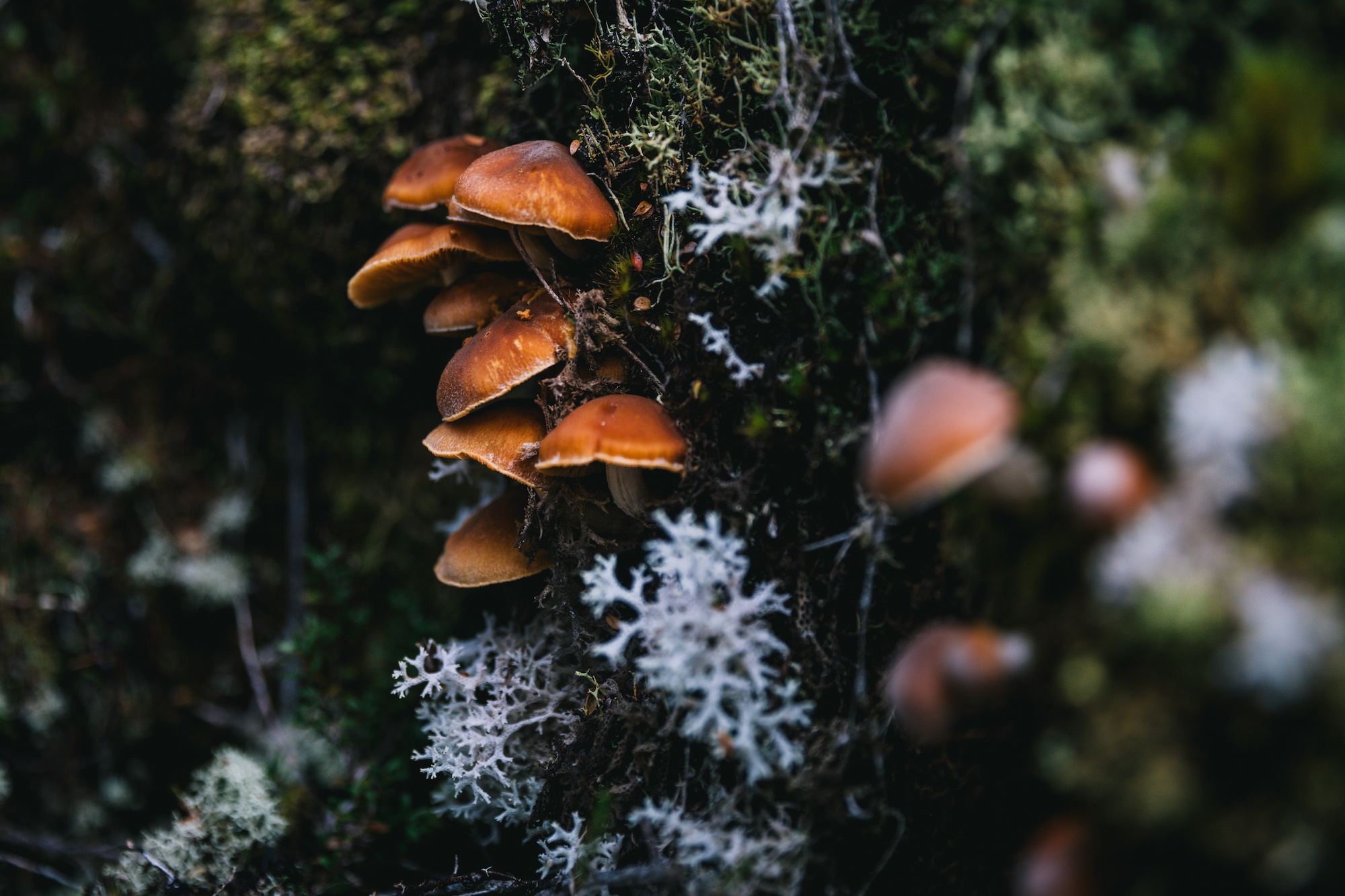
The abundance of birdlife along the track—including whio (blue duck), kererū (New Zealand pigeon), and the inquisitive weka—is a direct result of intensive predator control. DOC and various community groups utilize extensive trapping networks to manage populations of stoats, rats, and possums. This protection also extends to the Powelliphanta, a genus of highly endangered, large carnivorous land snails that are endemic to the region. These snails, which can grow to the size of a man’s fist, are nocturnal and feed primarily on earthworms, making them a rare sight for daytime hikers.
Logistical Solutions for Remote Access
The primary deterrent for many potential visitors to the Heaphy Track is the "logistics gap." Because the track is a linear route rather than a loop, travelers must find a way to return to their starting point. The road distance between the Takaka and Karamea trailheads is nearly 450 kilometers, involving a drive that circles the entire northern half of the South Island.
To address this, a niche aviation and shuttle industry has developed. Companies such as Golden Bay Air have streamlined the process by offering integrated flight and shuttle packages. Travelers can park their vehicles at one end of the track, take a shuttle to the trailhead, complete the hike, and then fly back over the very terrain they just walked. These flights operate out of small airstrips in Karamea and Takaka, utilizing light aircraft that are suited for the region’s variable weather. This service not only saves approximately 450 kilometers of driving and high fuel costs but also provides an aerial perspective of the Kahurangi wilderness, highlighting the scale of the park’s 452,000 hectares.
Safety and Environmental Preparedness
Despite the improved infrastructure of the Great Walks, the Heaphy Track remains a wilderness environment subject to New Zealand’s volatile weather. The region is prone to high rainfall, which can lead to localized flooding. While the track is largely bridged, the Department of Conservation emphasizes the importance of the "Land Safety Code," which includes:
- Choosing the right trip: Ensuring hikers have the fitness for 16–25km days.
- Understanding the weather: Checking forecasts for the West Coast and Nelson regions.
- Packing extra supplies: Carrying additional food and warm clothing in case of delays.
- Communication: Carrying a Personal Locator Beacon (PLB).
The use of PLBs is strongly encouraged by the New Zealand Mountain Safety Council. In the event of a life-threatening injury or sudden environmental hazard, a PLB allows Search and Rescue (SAR) teams to pinpoint a hiker’s location via satellite, significantly reducing the duration and risk of rescue operations.
Broader Economic and Tourism Impact
The Heaphy Track is a vital economic driver for the gateway towns of Karamea and Takaka. The influx of hikers and mountain bikers supports local hospitality, transport, and guiding services. The decision to open the track to mountain bikers during the "off-shoulder" season has been particularly successful in maintaining tourism revenue during months that were previously quiet.
Furthermore, the track serves as a case study in "slow tourism." By encouraging visitors to spend four to five days in the backcountry, it fosters a deeper connection to New Zealand’s natural heritage than the "high-volume, low-duration" tourism seen in other parts of the country. The presence of international visitors on the track also provides an opportunity for New Zealand to showcase its leadership in conservation and sustainable trail management.
Conclusion and Future Outlook
The Heaphy Track remains a cornerstone of the New Zealand wilderness experience. Its success is built on a delicate balance between providing high-quality infrastructure and preserving the "wild" character of Kahurangi National Park. As conservation efforts continue to stabilize populations of takahē and other native species, the track will increasingly serve as a living laboratory for ecological restoration. For the traveler, the integration of modern logistics—such as specialized aviation services—has made this once-formidable journey an accessible reality, ensuring that the longest of the Great Walks remains a premier destination for those seeking to explore the diverse heart of the South Island.