Conquering the Transfăgărășan Highway: Romania’s High-Altitude Alpine Masterpiece and Wildlife Corridor

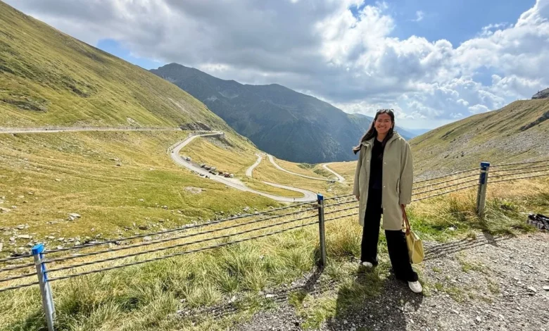
When travelers outline Europe’s premier motoring routes, the winding mountain passes of Switzerland and Austria typically dominate the conversation. However, the Southern Carpathians of Romania offer an engineering marvel and alpine landscape that rivals any in Western Europe. The Transfăgărășan Highway, officially designated as the DN7C, cuts directly through the heart of the Făgăraș Mountains. Reaching a peak elevation of 2,042 meters at Bâlea Lake, this storied roadway spans roughly 151 kilometers, connecting the historical regions of Wallachia in the south with Transylvania in the north. For motorists, adventure seekers, and wildlife enthusiasts alike, the highway represents a unique convergence of dramatic topography, controversial historical origins, and modern ecological challenges.
Historical Background and Strategic Origins
The genesis of the Transfăgărășan Highway is deeply intertwined with the geopolitical anxieties of the Cold War era. Following the 1968 invasion of Czechoslovakia by the Soviet Union, Romanian leader Nicolae Ceaușescu ordered the construction of a strategic military transport route across the highest barrier of the Southern Carpathians. The objective was to ensure rapid military deployment across the mountains in the event of a similar foreign intervention.
Construction commenced in 1970 and spanned four intensive years, concluding in 1974. The project demanded immense human and economic capital. Built primarily by military personnel, the construction required the excavation of approximately three million tons of rock, the deployment of over six thousand tons of dynamite, and the realization of numerous tunnels, viaducts, and concrete bridges. Tragically, the harsh alpine environment, hazardous working conditions, and use of explosives resulted in the deaths of dozens of construction workers, according to unofficial historical estimates, cementing the highway’s legacy as a monument born of both grand ambition and immense sacrifice.
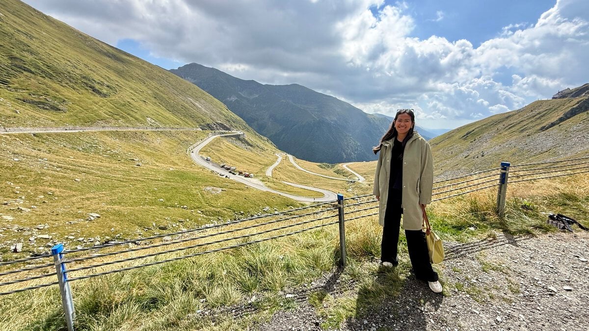
For decades, the route remained a localized infrastructure asset and a regional secret. That changed dramatically in 2009, when the British motoring program Top Gear filmed an episode on the highway, famously declaring it the best driving road in the world. Since then, international tourism has surged, drawing automotive enthusiasts eager to test their steering capabilities against its relentless series of hairpin turns, S-bends, and steep descents.
Navigating the Route: Logistics and Seasonal Access
The defining characteristic of the Transfăgărășan is its extreme seasonality. The high-altitude section of the highway—specifically the 90-kilometer mountain stretch between the Vidraru Dam in the south and Cârțișoara in the north—is subject to severe weather conditions, heavy snowfall, and high avalanche risks. Consequently, official regulations mandate the closure of this central segment from November 1 through June 30 each year.
Depending on meteorological conditions and snowmelt progress, the window for complete vehicular transit typically spans from July to September, though autumn closures can occasionally occur as early as October. Year-round access is maintained only on the lower valley approaches, while the high-altitude Bâlea Lake area remains accessible during the closed season via a cable car operating from Bâlea Cascadă.
Travelers departing from the capital city of Bucharest face a substantial logistical undertaking. The southern gateway near Curtea de Argeș lies approximately 155 kilometers northwest of Bucharest, translating into a multi-hour drive before encountering the first alpine switchbacks. Visitors generally choose between two primary methods of transit: independent car rentals or organized guided day excursions.
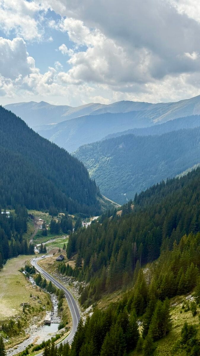
Opting for a private rental vehicle affords flexibility, enabling motorists to pause at panoramic viewpoints and regulate their itineraries. However, driving the route requires navigating narrow lanes, steep gradients, and rapidly shifting mountain microclimates. Furthermore, Romanian legislation requires a valid road vignette (rovinieta) for national transit, and local authorities strictly enforce speed restrictions—often capped at 40 kilometers per hour along the most treacherous mountain sections—alongside overnight closures between Piscu Negru and Bâlea Cascadă. Conversely, guided day tours from Bucharest alleviate the burden of long-distance driving and complex logistics, providing structured itineraries that highlight major structural and natural landmarks.
Engineering Landmarks: Vidraru Dam and Bâlea Lake
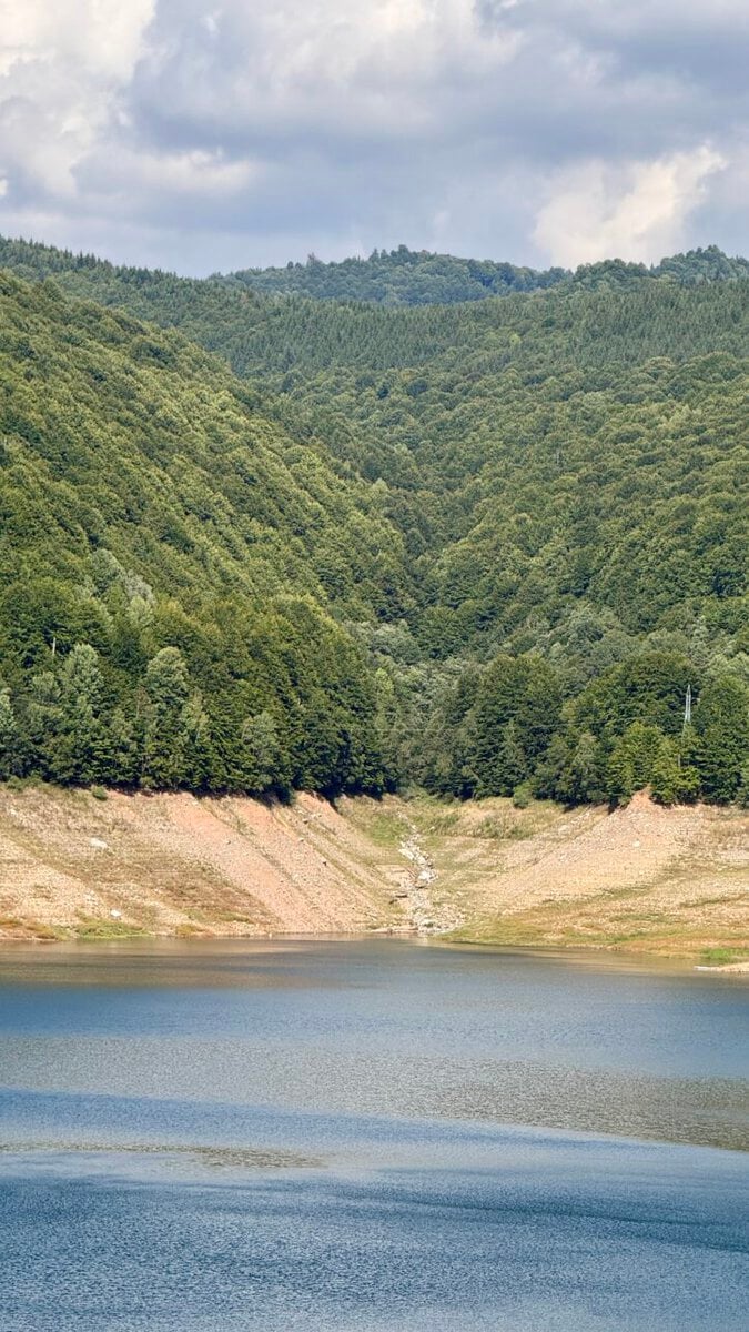
The journey along the DN7C is punctuated by monumental feats of engineering and arresting natural geography. Among the most prominent infrastructural milestones is the Vidraru Dam. Completed in 1966, prior to the finalization of the highway itself, the structure is a 166-meter-high arch dam that impounds the waters of Vidraru Lake. Designed to harness the hydroelectric potential of the Argeș River, the dam creates a reservoir spanning nearly nine square kilometers. The roadway traverses the crest of the dam, offering visitors a pedestrian vantage point of the deep, forested gorges below and the expansive, emerald waters of the artificial lake.
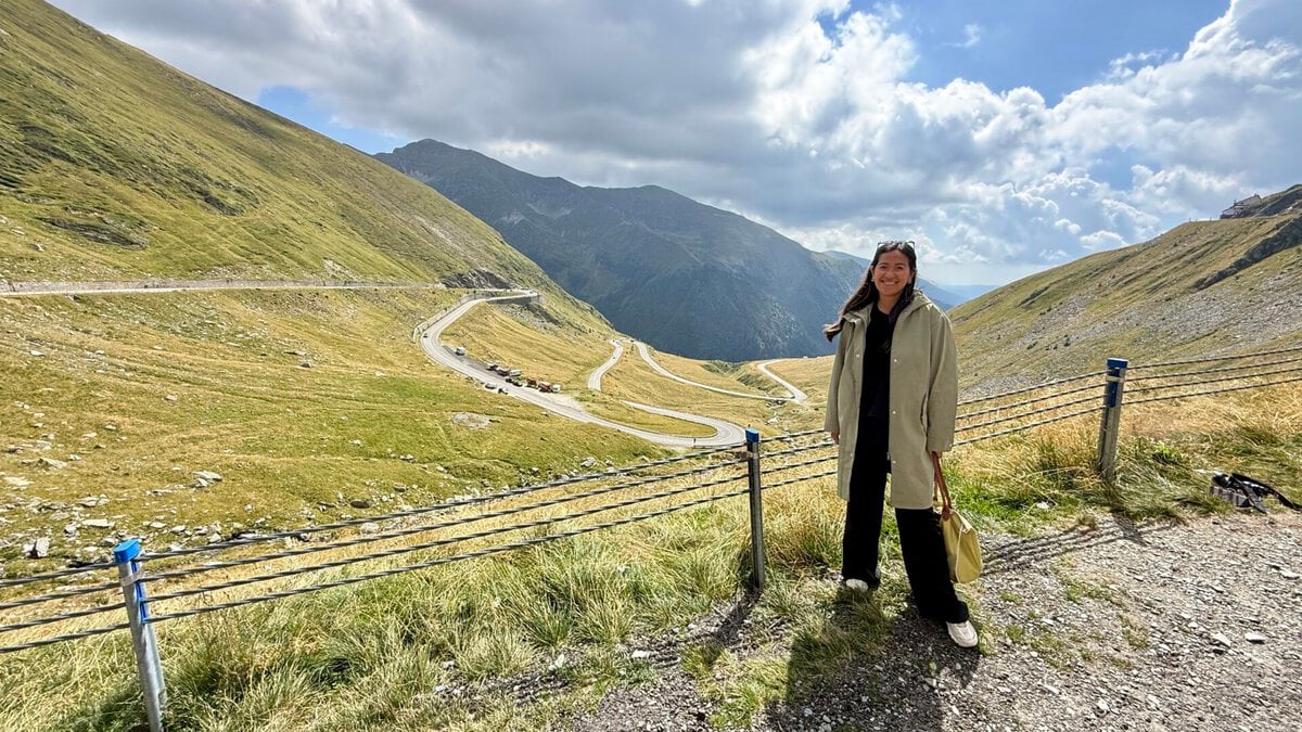
Ascending further north past dense beech and pine forests, the terrain transitions into alpine tundra. The road culminates at the glacial Bâlea Lake, situated at an altitude of 2,040 meters. Flanked by jagged peaks that retain snow patches well into the summer months, the basin serves as a major hub for tourism, featuring chalet accommodations, local vendors, and trailheads leading deeper into the Făgăraș range. From this high-altitude pass, the view backward reveals the intricate geometry of the northern slope’s switchbacks, a serpentine ribbon of asphalt cascading down the precipitous mountain wall.
Wildlife Management and Human-Bear Conflicts
Beyond its architectural and scenic attributes, the Transfăgărășan Highway has gained international recognition as a primary habitat for European brown bears (Ursus arctos). Romania hosts one of the largest brown bear populations on the continent. According to recent estimates from the Ministry of Environment, Waters and Forests, the national bear population numbers between 10,000 and 13,000 individuals, reflecting a steady population growth over the past decade.
Because the highway bisects prime wildlife corridors, motorists frequently encounter bears along the roadside, particularly during the peak summer and early autumn months. While wildlife observation draws numerous tourists, it has catalyzed a complex ecological and public safety challenge. A significant subset of the bear population has learned to associate vehicles with food, leading to habituation. Animals frequently linger near pull-offs and hairpin turns, waiting for handouts from passing motorists.
This dynamic has raised serious concerns among wildlife biologists and conservation authorities. Anthropogenic food conditioning alters natural foraging behaviors, increases the risk of vehicular collisions, and frequently results in aggressive encounters between humans and wildlife. When habituated bears become dangerous, authorities are often forced to relocate or euthanize the animals.
Official Responses and Legal Frameworks
In response to escalating safety risks and illegal wildlife interactions, the Romanian government and local law enforcement agencies have instituted stringent regulatory measures along the Transfăgărășan corridor. Feeding wild brown bears is strictly prohibited under national law. Transgressors face severe financial penalties, with fines ranging from 10,000 to 30,000 Romanian Lei (RON), depending on the severity of the infraction.
Furthermore, traffic regulations explicitly forbid stopping vehicles on the roadway, shoulder, or non-designated pull-offs to observe, photograph, or interact with wildlife. Environmental protection agencies and local gendarmerie units conduct routine patrols during the peak tourist season to enforce these statutes. Public safety campaigns continually urge motorists to remain inside their vehicles with windows fully secured should a bear approach, emphasizing that maintaining spatial distance is paramount to preventing human injury and preserving the natural behaviors of the region’s apex predators.
Broader Economic and Environmental Implications
The popularity of the Transfăgărășan Highway underscores a broader trend in European adventure tourism, wherein infrastructural icons serve as catalysts for regional economic development. Neighboring rural communities in both Wallachia and Transylvania have experienced a revitalization of local guesthouses, traditional eateries, and guiding services driven by the influx of international motorists and day-trippers.
At the same time, the high volume of seasonal traffic presents acute environmental management challenges. Waste management, soil erosion along steep embankments, and vehicular emissions in a fragile alpine ecosystem require continuous monitoring by environmental authorities. Balancing the economic imperatives of tourism promotion with the ecological preservation of the Southern Carpathians remains a central policy objective for regional administrators.
For travelers willing to navigate its demanding curves, unpredictable weather, and rigorous safety protocols, the Transfăgărășan Highway delivers an unparalleled immersion into one of Europe’s most rugged mountain environments. Whether approached as a technical driving challenge, a historical landmark of the socialist era, or a vital ecological corridor, the route demands respect, preparation, and strict adherence to environmental regulations to ensure its preservation for future generations.