Beyond the Beaches: A Comprehensive Guide to the Dual-Nation Experience of Saint Maarten and Saint Martin

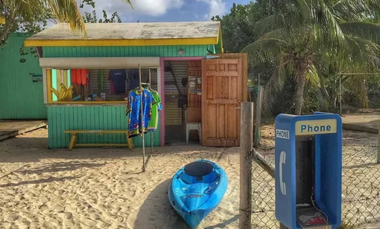
The Caribbean island of Saint Maarten and Saint Martin offers a unique geopolitical study and a multifaceted travel destination, distinguished by its status as the smallest landmass in the world shared by two sovereign nations. Divided since the Treaty of Concordia in 1648, the island functions as a seamless blend of Dutch pragmatism in the south and French cultural refinement in the north. While the island is world-renowned for its pristine white-sand beaches, modern travel analysis suggests that the true value of the destination lies in its diverse outdoor activities, historical depth, and complex administrative structure.

Geopolitical Background and Modern Integration
The division of the 34-square-mile island remains a historical anomaly. The southern half, Sint Maarten, is an autonomous country within the Kingdom of the Netherlands, while the northern half, Saint Martin, is an overseas collectivity of France. Despite this border, the island maintains a policy of open movement, allowing residents and tourists to traverse between jurisdictions without formal checkpoints.
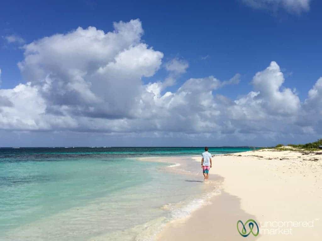
This dual-identity structure has profound implications for infrastructure and tourism. The Dutch side hosts the Princess Juliana International Airport (SXM), a critical hub for regional aviation, while the French side, Saint Martin, focuses on regulated, low-density development that aligns with European Union environmental and zoning standards. Consequently, the island serves as an essential case study in cross-border cooperation, as the two sides share resources, emergency services, and economic strategies to support a population of approximately 80,000 residents and an annual influx of nearly 3.7 million visitors.

Chronology of Regional Development
The island’s modern tourism landscape was significantly altered by environmental and economic milestones:

- 1648: The Treaty of Concordia establishes the formal division between French and Dutch territories.
- 1995: Hurricane Luis devastates much of the island’s existing infrastructure, leading to a massive period of reconstruction that redefined the architectural landscape.
- 2017: Hurricane Irma causes catastrophic damage across the island, forcing another cycle of structural modernization, which allowed for the revitalization of several hospitality sectors, including the expansion of the Morgan Resort in Maho Bay.
- 2022-2024: Following the removal of pandemic-era travel restrictions, the island has seen a resurgence in cruise ship arrivals and international flight connectivity, re-establishing its position as a primary Caribbean gateway.
Curated Experiences: Beyond the Shoreline
While the tourism industry often highlights the coastline, the island offers substantial depth for travelers seeking unconventional experiences. Data from local tourism boards indicates a growing trend toward "experiential travel," where visitors prioritize activity-based excursions over static beach stays.
Maritime and Aerial Adrenaline
The 12-Metre Challenge remains a standout attraction, utilizing retired America’s Cup racing vessels to provide tourists with an authentic regatta experience. This activity provides insight into the high-performance sailing culture that defines the island’s nautical heritage. Simultaneously, Maho Bay has become a global destination for aviation enthusiasts. The proximity of the runway to the beach allows for extreme low-altitude flight viewing, an attraction that requires careful coordination with the Princess Juliana flight schedule—a public resource frequently updated for observers.
Topographical and Historical Exploration
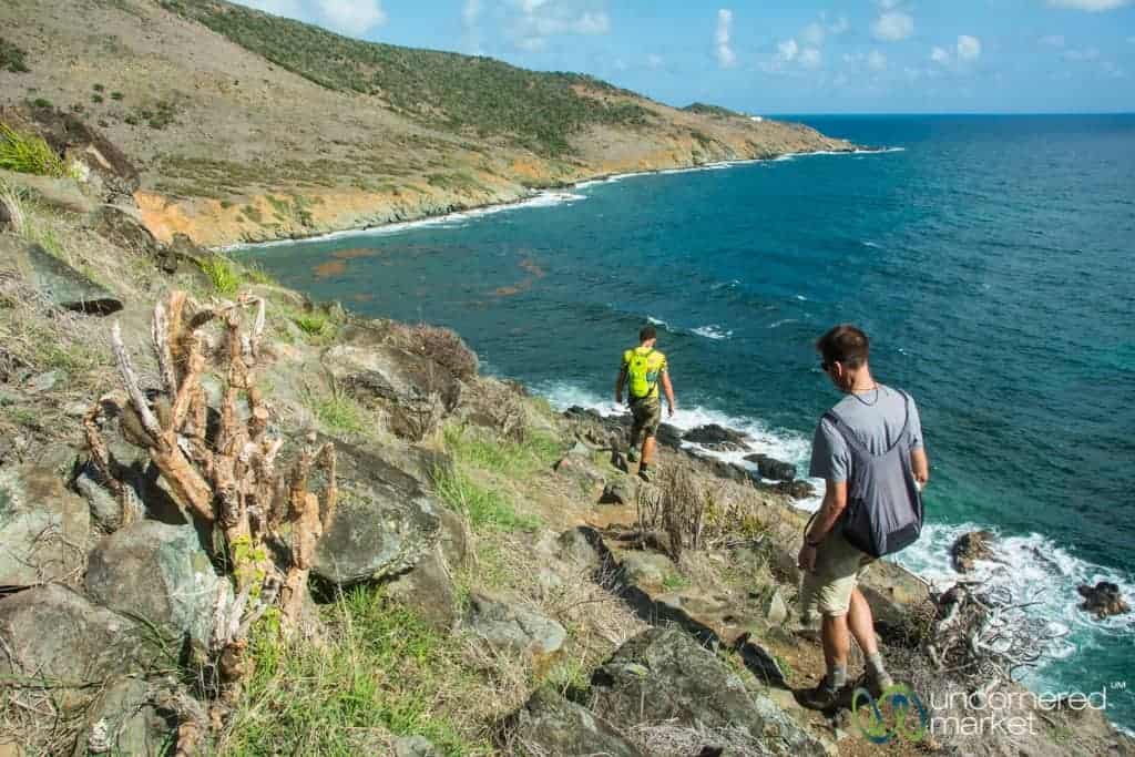
Hiking remains a vital, yet under-utilized, segment of the island’s economy. The Sentier des Froussards, a three-mile coastal path, offers a rugged alternative to the commercialized beach strips, providing a view of the island’s natural, windswept northern terrain. Historically, the island’s bicycle tours, particularly in Philipsburg, offer a tangible connection to 17th-century colonial history, including the ruins of Fort Amsterdam. These tours provide context regarding the island’s strategic role in the power struggles between Spanish, French, and Dutch empires.
Economic and Logistical Framework
For the international traveler, navigating the island requires an understanding of its dual-currency system. While the official currency on the French side is the Euro and the Dutch side utilizes the Netherlands Antillean Florin, the United States Dollar (USD) is universally accepted across the island. This economic flexibility is a cornerstone of the island’s tourism-heavy GDP.

Regarding transportation, the density of traffic—particularly around the capital areas—necessitates strategic planning. Rental car data indicates that while personal vehicles provide the most freedom for exploring off-the-beaten-path locations like the Guana Bay coastline, visitors should account for peak traffic hours, which typically mirror the schedules of cruise ship arrivals and departures at the Philipsburg port.

Culinary and Cultural Analysis
The dining landscape on the island serves as a mirror to its demographic composition. The French side, particularly the "Restaurant Row" in Grand Case, maintains high-level gastronomic standards consistent with mainland France, featuring establishments like Auberge Gourmande. Conversely, the Dutch side, notably in Simpson Bay, offers an international fusion of Caribbean, Canadian, and Asian influences.

Local food stalls and small-scale distilleries, such as Topper’s Rhum, demonstrate the island’s commitment to boutique production. These businesses are essential to the island’s economic resilience, as they often bridge the gap between mass-market tourism and the local cultural narrative. The persistence of small-scale operations, even after the destruction caused by the 2017 hurricane season, highlights the entrepreneurial spirit of the local population.

Official Responses and Future Implications
Local authorities and tourism bureaus, such as the Saint Martin Tourism Office, have emphasized the importance of sustainable development in the post-Irma era. The focus has shifted toward "quality over quantity," with new initiatives designed to disperse crowds from the primary beach zones into the interior and northern regions.
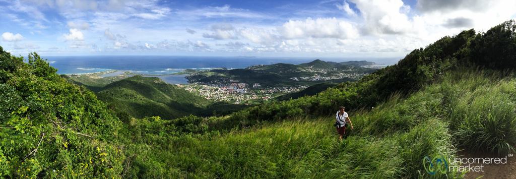
The broader implication for the island is a continued balancing act. It must maintain its appeal as a high-traffic cruise port while preserving the quiet, authentic character that differentiates the French side from the more commercialized Dutch districts. As environmental regulations become more stringent, the island is likely to move toward eco-conscious tourism, with increased support for protected areas like the mangroves in the Simpson Bay lagoon.

Planning Recommendations
For those considering a visit, the optimal window for travel remains the "shoulder season"—specifically April through June. During this period, the island offers a favorable climate, reduced traffic congestion, and lower demand on infrastructure compared to the peak season (December through March).
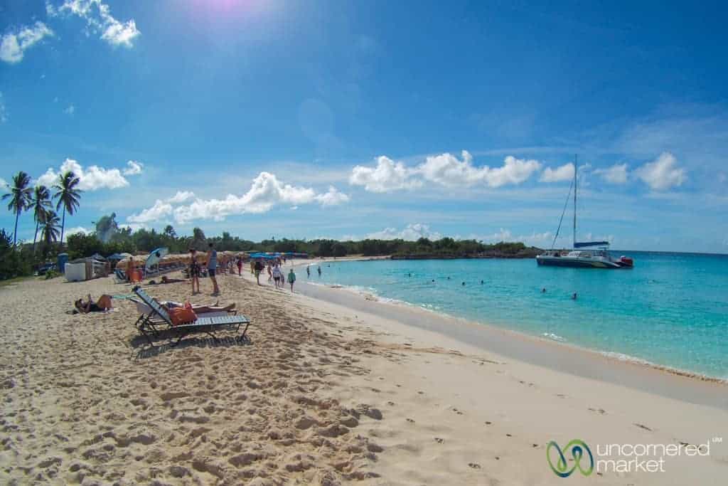
Travelers are advised to consult the official Saint Maarten and Saint Martin entry portals prior to departure. While current conditions are open, the island’s status as a dual-nation territory means that entry requirements may evolve based on specific European or Dutch Kingdom directives.

Ultimately, Saint Maarten and Saint Martin prove that a destination’s complexity is its greatest asset. By moving beyond the initial draw of the Caribbean shoreline, visitors can engage with a unique, shared history that continues to evolve, adapt, and define the contemporary Caribbean experience.
Related posts: