
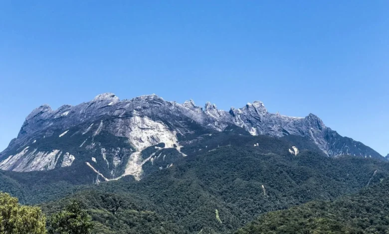
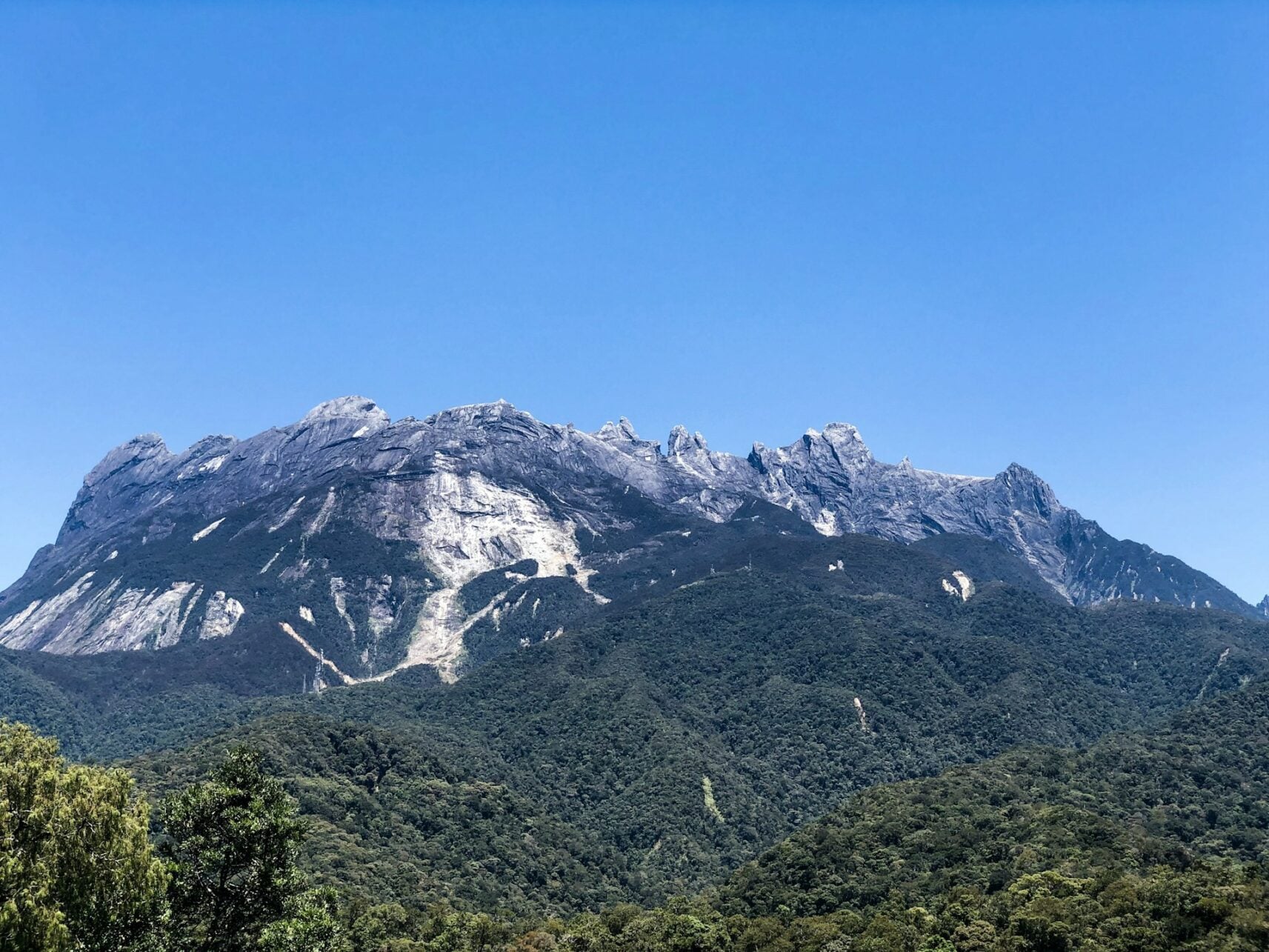
Standing at 4,095 meters above sea level, Mount Kinabalu is not merely the highest point in Malaysia but a centerpiece of the UNESCO World Heritage-listed Kinabalu Park in Sabah, Borneo. Rising sharply from the lowland rainforests, this granite monolith represents a significant physical and logistical undertaking for thousands of climbers annually. Unlike casual hiking destinations, a successful summit of Low’s Peak requires strict adherence to government-mandated permit regulations, physical conditioning, and an understanding of high-altitude alpine environments. The mountain’s ecosystem, ranging from tropical montane forests to bare rock, hosts one of the world’s most diverse botanical landscapes, including the rare pitcher plant, Nepenthes rajah.
The Regulatory Framework and Logistics of Ascent
The management of Mount Kinabalu is overseen by Sabah Parks, which strictly regulates the number of climbers permitted on the trail. Since 2015, when a significant earthquake necessitated a revision of safety protocols, the ascent has been standardized into a two-day, one-night format. This structure is designed to mitigate the risks associated with acute mountain sickness (AMS) and to ensure that hikers have sufficient time to acclimatize at the Panalaban base camp, situated at an altitude of 3,272 meters.
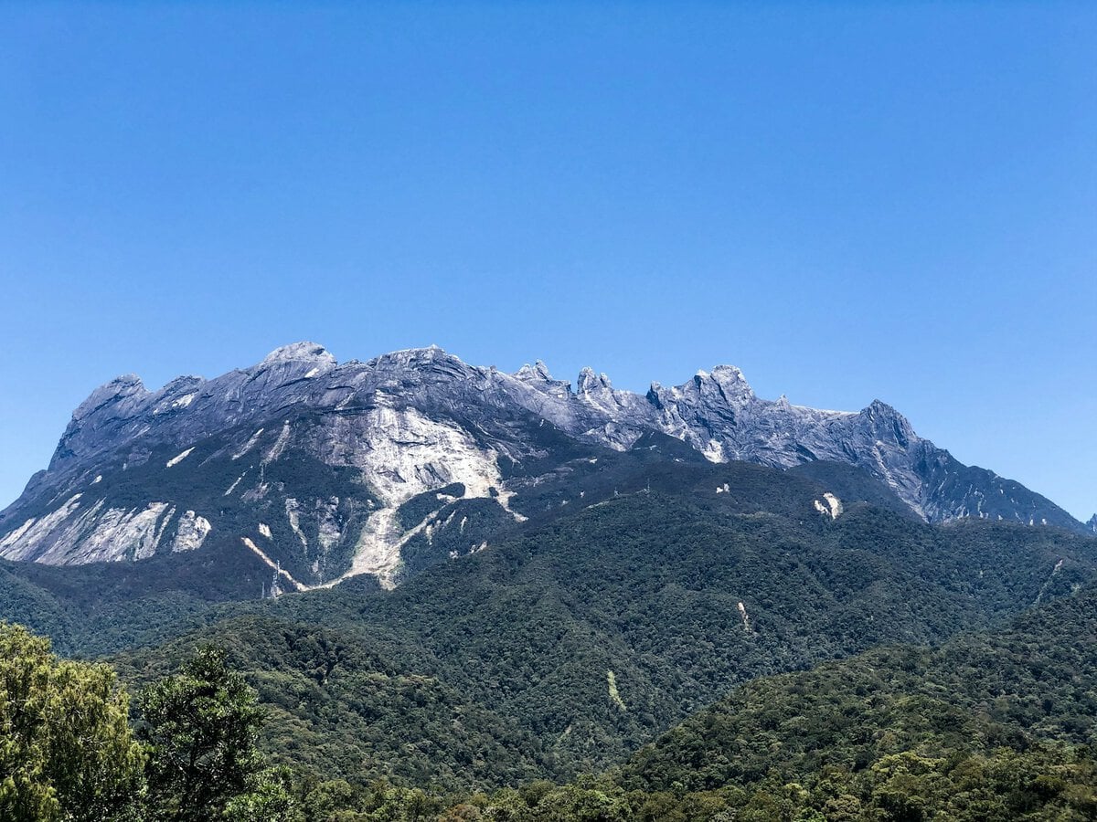
Prospective climbers are mandated to secure a permit through authorized tour operators, as permits are tethered to accommodation availability at Panalaban. With a daily quota typically capped at approximately 150 individuals, the demand for slots often exceeds capacity, particularly during the dry season months of February through April. It is common practice for international visitors to finalize bookings three to six months in advance to guarantee their spot.
A Chronological Overview of the Two-Day Expedition
The ascent begins at the Timpohon Gate, located at 1,866 meters. The first day involves a 6-kilometer trek through diverse vegetation zones, characterized by a relentless series of stone and timber steps. This initial phase requires four to seven hours of exertion, moving through dipterocarp forests into the upper montane forest. The humidity of the lower slopes gradually gives way to a cooler, thinner air as the tree line recedes.
Upon reaching Panalaban by mid-afternoon, climbers transition from the physical exertion of the climb to the psychological preparation for the summit push. The accommodation at this altitude is functional, providing basic lodging and a buffet-style meal. Resting is essential, as the second day commences in the early hours of the morning, usually around 2:00 a.m.
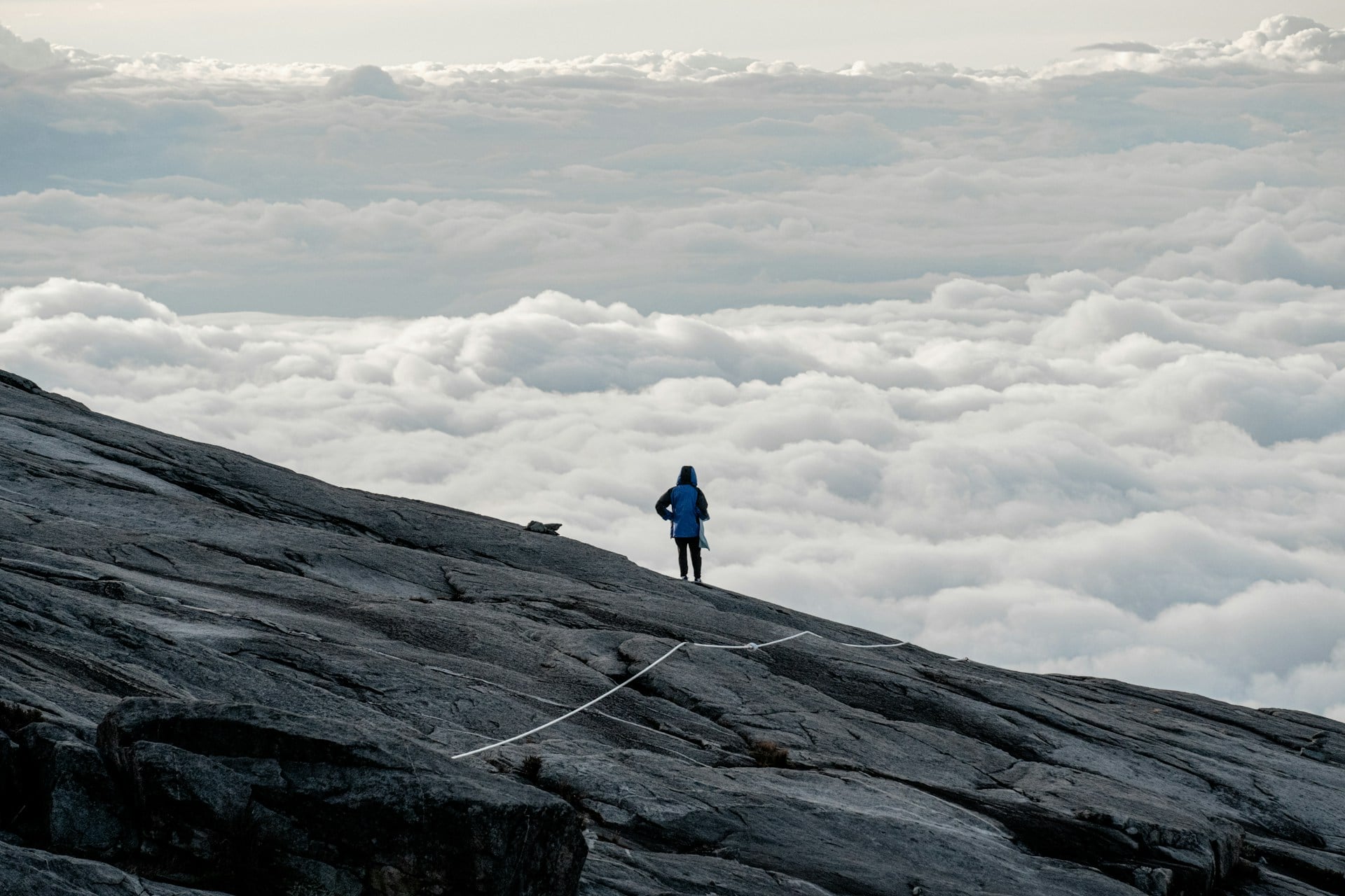
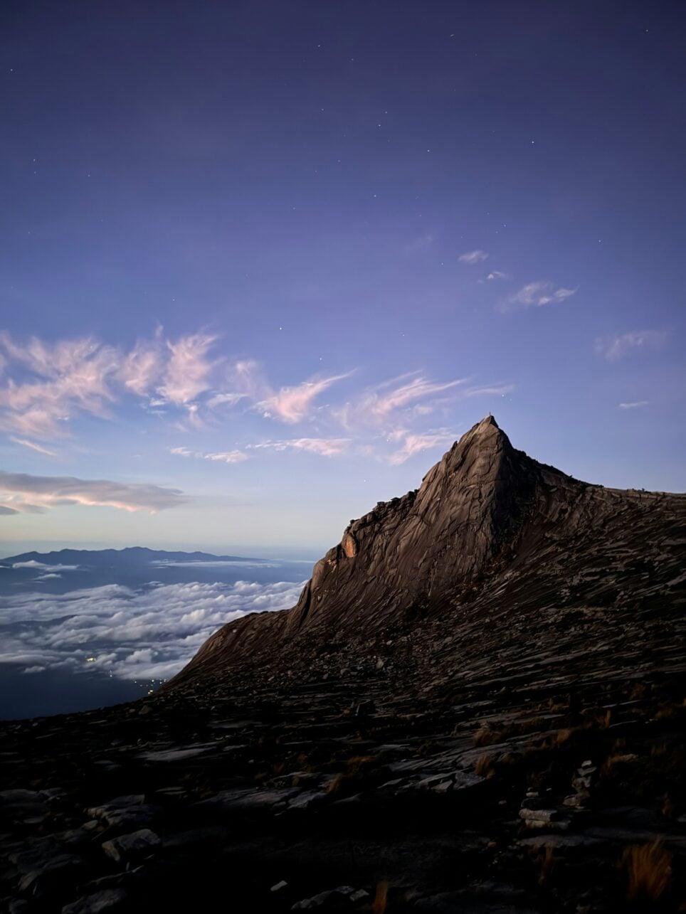
The final 2.7-kilometer push to Low’s Peak is the most demanding segment of the expedition. Traversing the exposed granite plateau under the cover of darkness, climbers must navigate with the aid of headlamps and fixed ropes. The Sayat-Sayat checkpoint, located at 3,668 meters, acts as a critical threshold; climbers who fail to reach this point by the early morning cut-off time (typically 5:00 a.m.) are prohibited from proceeding to the summit. This measure is a safety precaution implemented by park authorities to ensure that hikers can return to the base camp before weather conditions deteriorate in the afternoon.
Physiological and Environmental Challenges
The primary challenge for most climbers is not the technical difficulty of the terrain—which requires no climbing equipment—but rather the physiological impact of the altitude. Even individuals with high cardiovascular fitness can experience symptoms of altitude sickness, including headaches, nausea, and lethargy. The transition from the humid, oxygen-rich rainforest to the thin, near-freezing environment of the summit plateau occurs in less than 24 hours, placing significant stress on the human body.
Furthermore, the mountain’s microclimate is notoriously volatile. While the base of the park may experience warm, sunny conditions, the summit is prone to rapid shifts in visibility and temperature. Wind speeds at the summit can be intense, significantly dropping the "feels-like" temperature. Because the trail is largely composed of smooth granite, rain can render the path slippery and hazardous, leading park rangers to close the summit trail without notice.
The Role of Local Mountain Guides
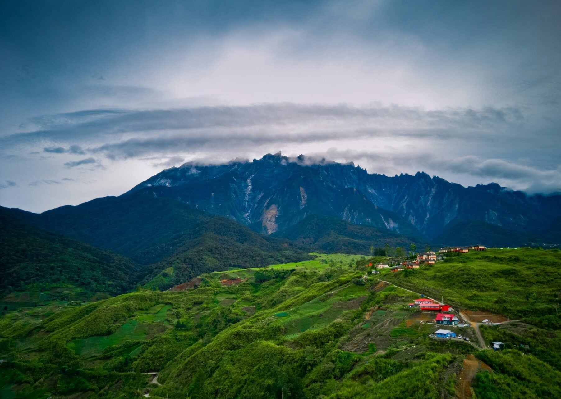
A critical component of the Mount Kinabalu experience is the mandatory inclusion of a licensed mountain guide. These guides are predominantly recruited from the local Kadazan-Dusun communities in the Kundasang and Ranau regions. Their expertise extends beyond navigation; they are trained in search-and-rescue protocols and are essential for identifying early warning signs of distress in climbers.
For the Kadazan-Dusun people, Mount Kinabalu holds deep cultural and spiritual significance. It is traditionally regarded as the resting place of ancestral spirits. Consequently, the presence of these guides provides a bridge between the commercial reality of the climbing industry and the traditional stewardship of the landscape. Their presence ensures that the mountain remains both accessible to international tourists and protected as a sacred site.
Economic and Ecological Impact
The tourism generated by Mount Kinabalu is a vital driver for the local economy in Sabah. Beyond the direct fees paid for permits and guide services, the influx of climbers supports the hospitality and transport sectors in Kota Kinabalu and the surrounding districts. However, this level of human traffic necessitates rigorous environmental management. Waste management, erosion control on the stone stairs, and the preservation of endemic species like the Kinabalu giant earthworm are ongoing priorities for Sabah Parks.
The implications for travelers are clear: visiting Mount Kinabalu requires a commitment to sustainable tourism. Climbers are encouraged to minimize their ecological footprint, adhere strictly to designated trails, and respect the cultural heritage of the indigenous population.
Essential Preparation and Training
Successful completion of the climb is contingent upon preparation. Training should ideally span six to eight weeks, focusing on endurance and leg strength. Because the descent from the summit back to the Timpohon Gate covers over 2,200 meters of elevation loss in a single day, joint health is a common concern. Incorporating "downhill training" into a regimen is often cited by experienced guides as the most effective way to prevent injury.
Regarding equipment, the layering system is the industry standard for this climate. Breathable base layers, an insulating mid-layer, and a windproof/waterproof outer shell are necessary. While the daytime temperature at the start is tropical, the temperature at the summit is frequently near freezing. Carrying a well-stocked daypack with at least two liters of water, high-energy snacks, and a reliable headlamp is non-negotiable.
Strategic Recovery in Kota Kinabalu
Post-climb recovery is an essential final chapter of the journey. Given the physical fatigue associated with the 17.4-kilometer round trip, travelers often extend their stay in Kota Kinabalu. The city offers a variety of low-impact activities suitable for post-trek recovery, such as cultural tours of the city’s landmarks or maritime excursions to the nearby Tunku Abdul Rahman Marine Park.
Integrating a rest period serves a dual purpose: it allows the body to recover from the rapid change in altitude and exertion, and it provides an opportunity to explore the broader cultural and historical context of Sabah. As with all travel planning in the region, weather sensitivity is a factor, particularly for maritime activities, and flexibility in scheduling is highly recommended.
Conclusion
Mount Kinabalu stands as a testament to the raw beauty and power of the natural world. It is an experience that demands respect—not just for the height of the peak, but for the complex social, environmental, and physical systems that make the ascent possible. For those who undertake the journey, the sunrise at Low’s Peak offers more than just a photograph; it provides a profound perspective on the scale of the world and the resilience of the human spirit. With careful planning, respect for local regulations, and appropriate physical preparation, the climb remains one of the most rewarding expeditions in Southeast Asia.