The United Nations General Assembly Votes to Promote Accurate Global Mapping Standards

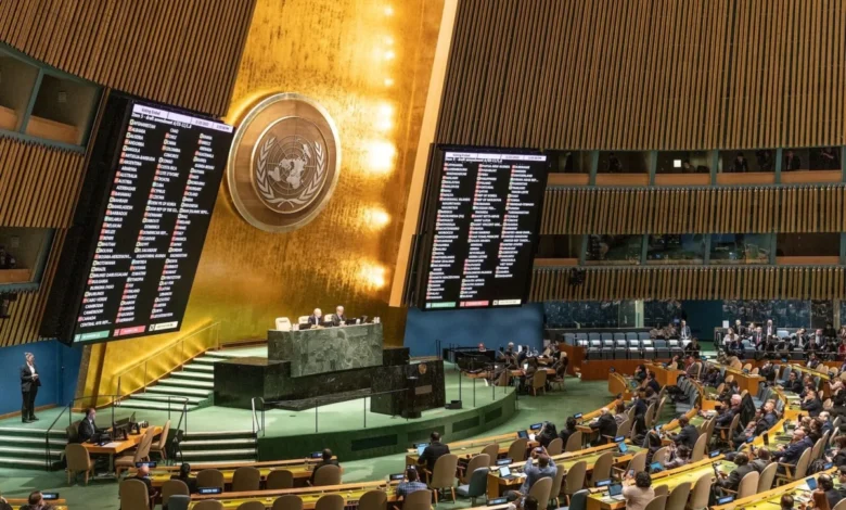
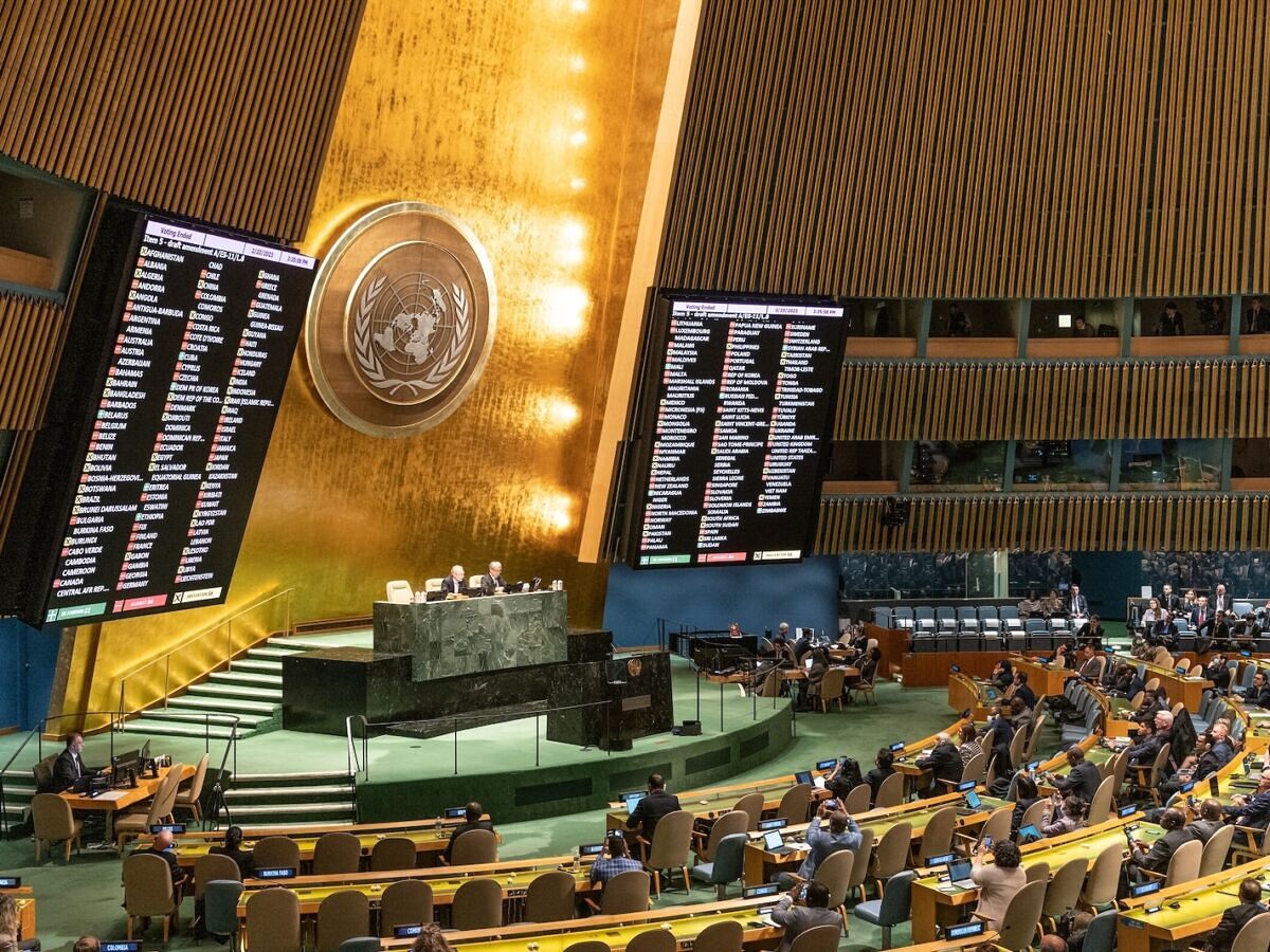
The United Nations General Assembly has officially moved to address the persistent issue of geographic distortion in global cartography, marking a significant shift in how international bodies perceive the visualization of the world. On September 4, 2026, the assembly passed a landmark resolution with an overwhelming 164-to-1 vote, advocating for the adoption of map projections that more accurately reflect the relative surface areas of the Earth’s continents. This resolution, which was championed by Togo on behalf of the 54-member African Group and supported by the African Union, specifically highlights the Equal Earth projection as a preferred standard for international and educational use. The United States stood as the sole dissenting vote in the proceedings, highlighting a rare diplomatic split on an issue that blends geography, politics, and historical representation.
While the resolution is nonbinding, its passage represents a major milestone in a decades-long effort by geographers and geopolitical analysts to move beyond the limitations of traditional, centuries-old map projections. The move does not mandate the immediate removal of existing maps but encourages educational institutions, governments, and international organizations to reconsider the pedagogical and political impacts of the visual tools used to depict the world.
The Legacy of the Mercator Projection
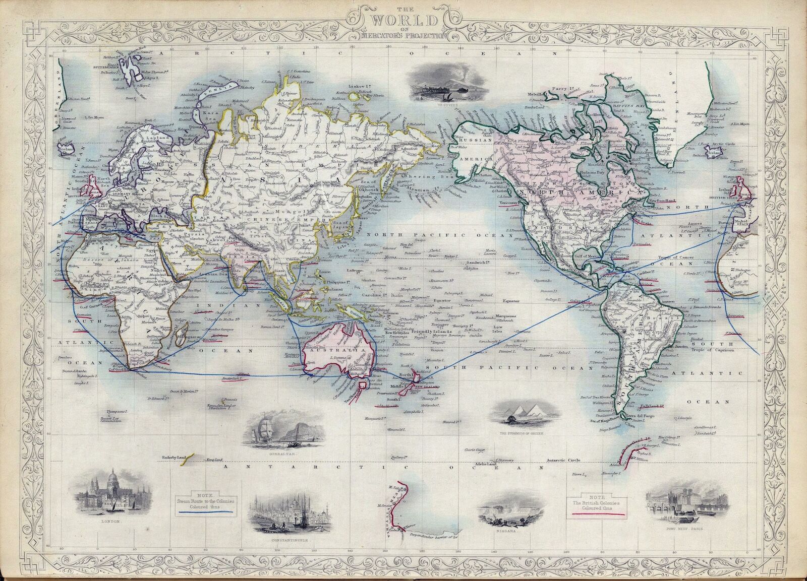
To understand the necessity of this resolution, one must first examine the origin of the current status quo. The Mercator projection, developed by Flemish cartographer Gerardus Mercator in 1569, was never intended to be a political tool or an accurate representation of total land mass. It was a navigational innovation. During the 16th century, the ability to plot a straight line on a map and maintain a constant compass bearing was essential for maritime navigation. Mercator’s cylindrical projection achieved this by stretching the scale of the map as one moves away from the equator.
While this technique allowed for efficient sea travel, it introduced profound distortions in size. In the common Mercator view, landmasses near the poles appear significantly larger than they are in reality, while those near the equator—including the vast majority of the African continent—appear compressed. For instance, Greenland, which occupies roughly 2.1 million square kilometers, often appears to be roughly the same size as Africa on a Mercator map. In reality, Africa is approximately 30.3 million square kilometers, making it roughly 14 times larger than Greenland.
In the age of GPS and satellite-based navigation, the original purpose of the Mercator projection—aiding 16th-century sailors—has been rendered obsolete. However, the projection persists in classrooms and media, creating what many scholars argue is a subconscious bias that diminishes the perceived scale and, by extension, the geopolitical prominence of equatorial nations.
A Chronology of Change: From Schools to the General Assembly
The path to the 2026 UN resolution was not instantaneous; it was the result of a long-simmering critique of western-centric cartography. The following timeline tracks the progression of this movement:
- 1974: Historian Arno Peters promotes the Gall-Peters projection, an equal-area map that sparked intense debate in the cartographic community by challenging the dominance of the Mercator projection.
- 2017: The Boston Public School district makes headlines by becoming one of the first major educational entities in the United States to adopt the Gall-Peters projection, reigniting a global conversation about "map bias."
- 2018: Three cartographers—Bojan Šavrič, Tom Patterson, and Bernhard Jenny—publish the "Equal Earth" projection. Designed to combine the accurate area representation of equal-area maps with the visual familiarity of the Mercator, it is quickly adopted by NASA and the National Geographic Society.
- February 2026: The African Union formally adopts a resolution to transition toward more accurate mapping, citing the need to "restore an accurate representation of Africa" in global systems.
- September 4, 2026: The UN General Assembly votes 164-1 to adopt a resolution encouraging the use of equal-area projections globally.
The Case for Equal Earth
The Equal Earth projection, now supported by the UN, was explicitly engineered to address the criticisms leveled against earlier attempts at equitable mapping. Unlike the Gall-Peters projection, which is often criticized for distorting the shapes of continents to the point of being unrecognizable, the Equal Earth projection maintains a "pseudocylindrical" form. It keeps the landmasses at their correct relative sizes while minimizing the aesthetic warping of their outlines.
Cartographers note that no flat map can perfectly represent a sphere; every map involves a trade-off. However, the Equal Earth projection is widely considered the best available compromise for general-purpose educational use. By endorsing it, the UN is not suggesting that all maps be discarded, but rather that the choice of map projection should be intentional, acknowledging that the way we visualize the world affects how we understand the relationships between its people and resources.
Political Implications and the African Union’s Stance
The African Union’s push for this resolution is rooted in the concept of "reparatory justice." During a March 2026 high-level address, African Union Commissioner Amma Twum-Amoah articulated that the systemic "shrinking" of Africa on the world map is not merely a matter of geometry, but of perception. The distortion, she argued, contributes to an underestimation of the continent’s economic, cultural, and geopolitical weight in global forums.
By successfully bringing this issue to the United Nations, the African Group has framed cartography as a matter of sovereignty and dignity. The overwhelming support from the General Assembly indicates a broad international consensus that visual tools should evolve to match modern scientific and ethical standards.
The United States’ lone opposition to the resolution has prompted speculation among political analysts. While the U.S. mission to the UN did not immediately release a detailed memorandum explaining the "no" vote, historical U.S. policy regarding UN resolutions often hinges on the language of "non-interference" in internal organizational standards or a preference for private-sector led innovations in technology. Some observers suggest the vote may reflect a reluctance to see the UN exert influence over educational standards, even in a nonbinding capacity.
Economic and Educational Impacts
The implications of this resolution extend beyond the halls of the United Nations. Educational publishers and technology firms that provide digital mapping services are likely to face increased pressure to provide users with options for more accurate map projections.
For the educational sector, the move is expected to accelerate a shift in how geography is taught. Students learning from maps that represent continents proportionally will gain a more accurate understanding of global resource distribution, population density, and environmental challenges. In climate science, for instance, the use of accurate area maps is already standard practice, as misrepresenting the size of regions can lead to errors in calculating carbon sinks, land-use changes, and other critical climate data.
Analysis: Beyond the Visual
The 2026 UN resolution serves as a reminder that maps are never neutral. They are models of the world, designed by humans with specific needs, biases, and goals. The transition from the Mercator projection to the Equal Earth projection is not simply a technical update; it is a recognition that the maps we use act as a framework for our global consciousness.
By supporting this transition, the UN is facilitating a shift in the global dialogue. As the world becomes increasingly interconnected, the ability to visualize geography with honesty and precision is becoming a prerequisite for fair and informed diplomacy. While the resolution is nonbinding, the sheer volume of support—164 member states—suggests that the era of the unchallenged Mercator map is drawing to a close, paving the way for a more proportionally accurate vision of the world in the classrooms and boardrooms of the future.