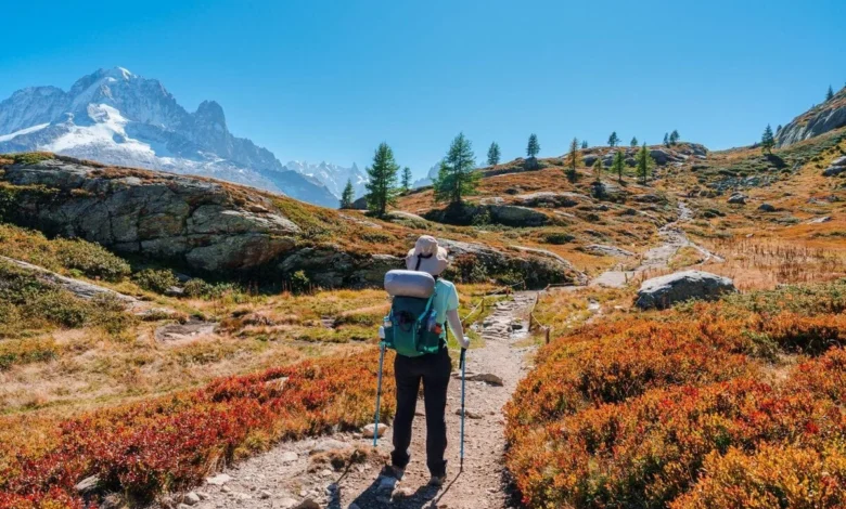
The Tour du Mont Blanc (TMB) is widely regarded as one of the world’s premier long-distance trekking routes, circling the formidable Mont Blanc massif across the borders of France, Italy, and Switzerland. Spanning approximately 170 kilometers with an aggregate elevation gain of roughly 10,000 meters, the standard itinerary typically requires ten to eleven days of sustained physical exertion. However, for time-constrained adventurers, an "express" variation has emerged, condensing the journey into six or seven days by utilizing the region’s extensive network of cable cars, mountain shuttles, and local bus services to bypass repetitive valley road sections. Executing this shortened route requires meticulous logistical planning, as the margin for error is significantly narrower than the traditional, slower-paced trek.
The Strategic Anatomy of an Express TMB
The core philosophy of an express TMB is the prioritization of high-alpine scenery over valley-floor endurance. By strategically integrating mechanical transport—such as the lift systems in Chamonix and Courmayeur or public bus connections in the Swiss Val Ferret—hikers can retain the most iconic high passes while omitting the arduous, often monotonous, paved segments that link the mountain stages.
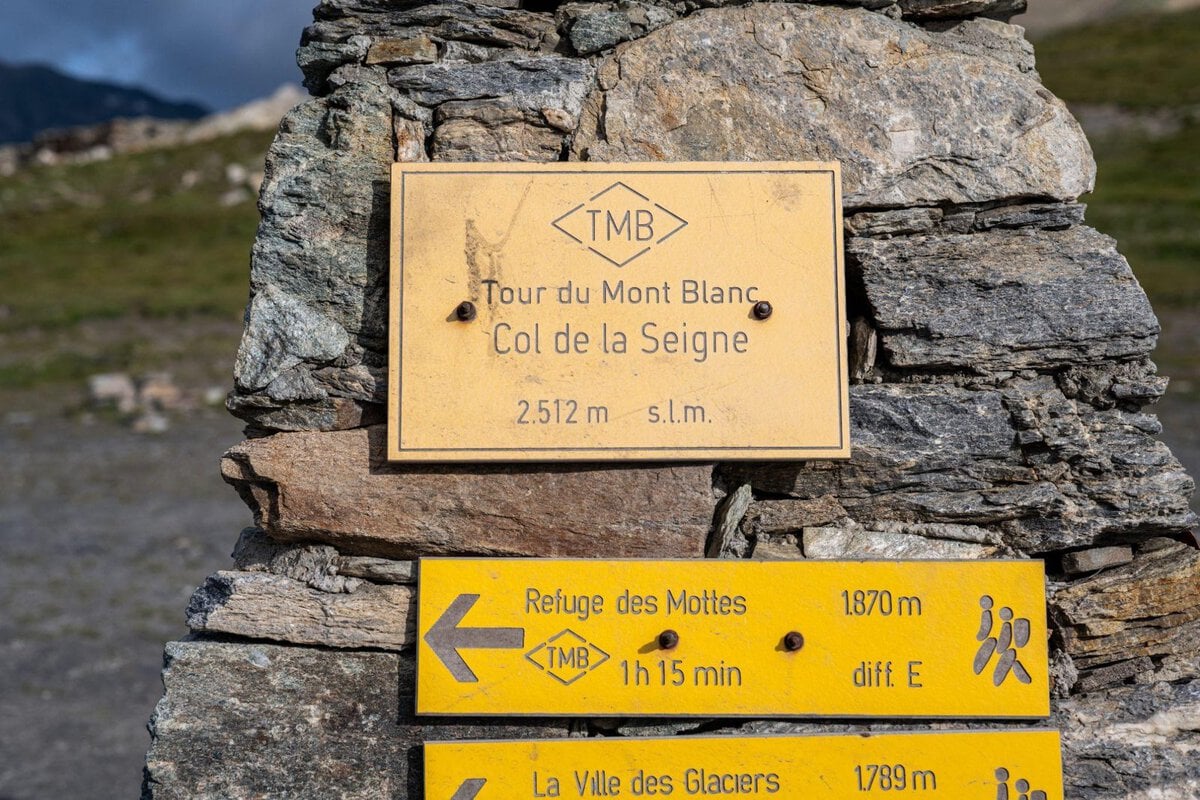
The successful completion of a six-day itinerary hinges on the identification of non-negotiable sections. Most seasoned trekkers insist on traversing the Col de la Seigne, the high-altitude balcony trails above Courmayeur, the Grand Col Ferret, and the ridges surrounding the Chamonix Valley. The transition between these high-altitude checkpoints often involves long, low-elevation stretches that contribute little to the aesthetic experience of the massif. Replacing these segments with public transit is not merely a convenience; it is a vital strategy for maintaining the pace required to complete the circuit in under a week.
Logistical Challenges and Planning Constraints
While the express approach offers efficiency, it introduces significant risks regarding accommodation and scheduling. Unlike the standard 11-day itinerary, which allows for recovery or weather-related delays, the express model operates on a tight, fixed schedule. In the Alpine region, mountain refuges (refuges/gîtes) are seasonal operations. The official "Mon Tour du Mont-Blanc" booking platform, which governs a majority of the managed huts, typically opens for the following summer season on October 15. Demand for these beds, particularly in the peak months of July and August, is intense, often resulting in full occupancy within weeks of opening.
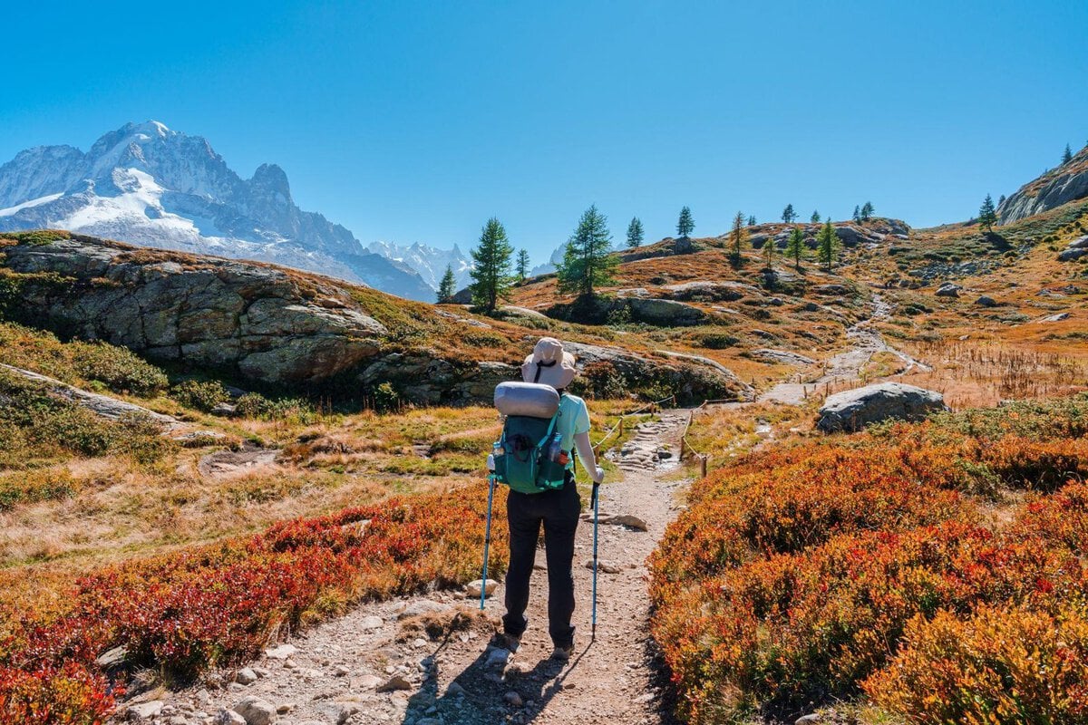
The scarcity of accommodation acts as a limiting factor. Hikers must secure their beds before confirming transport or flight logistics. Key "pinch points" include the remote settlement of Les Chapieux, the expansive Val Veny, and the upper reaches of the Swiss Val Ferret. In instances where high-altitude huts are fully booked, travelers are often forced to descend into valley towns, adding significant time to their daily itinerary and requiring synchronization with local bus timetables that may not run frequently.
The Geography of the Circuit
The TMB traverses three distinct cultural and linguistic zones. The route begins in the French Chamonix Valley, moving through the high-altitude pastures of the Beaufortain region into Italy’s Aosta Valley. The final leg transitions through the Swiss Val Ferret before returning to France. Each region maintains its own infrastructure, which impacts the hiker’s experience.
In Italy, the hub of Courmayeur serves as the critical reset point. Given its superior infrastructure, it is the most pragmatic location to adjust an itinerary should weather conditions deteriorate or should a member of a group experience physical injury. The town provides direct access to the Mont Blanc Tunnel, allowing for immediate transit back to the Chamonix valley. Experts advise that while this acts as a vital safety valve, relying on it as a planned shortcut would result in the loss of the entire Swiss segment of the hike, effectively compromising the integrity of the three-country experience.
Chronological Requirements and Daily Demands
A six-day itinerary demands a rigorous physical standard. Even with transport-assisted shortcuts, the daily workload involves multiple climbs of 900 to 1,300 meters, typically followed by technical, knee-straining descents. The average hiker will spend between five and seven hours on the trail each day, excluding breaks.
A standard express chronology follows a counter-clockwise flow:
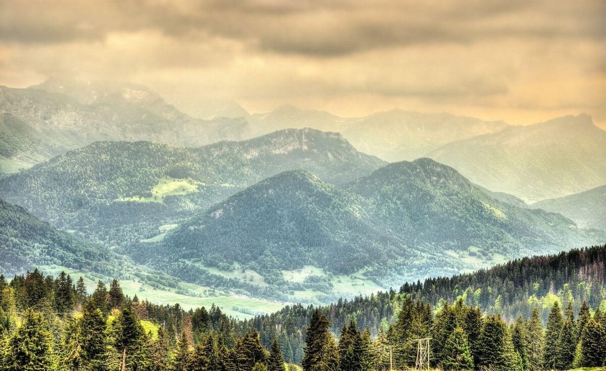
- Day 1: Arrival in Geneva, transfer to Les Houches, and commencement of the first climb toward the Col de Voza.
- Day 2: Traversing the high passes toward the Contamines-Montjoie valley.
- Day 3: The ascent of the Col de la Seigne, entering Italy.
- Day 4: The balcony traverse above Courmayeur, utilizing local bus networks to navigate the Val Veny approach.
- Day 5: The crossing of the Grand Col Ferret into Switzerland.
- Day 6: Final navigation through the Swiss valleys toward the Trient or Argentière, followed by a final descent back into the Chamonix Valley.
Transportation and Accessibility
For international hikers, the entry point is typically Geneva Airport. While regional rail options exist, they are often less efficient for those carrying specialized trekking gear. Pre-booked private transfers or shared shuttles from Geneva to Les Houches offer the most direct route, saving several hours of transit time compared to the multi-change rail connections.
The use of rental cars is generally discouraged by local tourism boards and professional mountain guides. A vehicle parked for the duration of a six-day trek adds unnecessary cost and logistical complexity, as the hiker must return to the point of origin rather than utilizing the circular nature of the route to exit via public transport.
Luggage Management and Physical Preservation
The weight of a pack is a critical variable in the success of a high-speed trek. Luggage transfer services, which transport duffel bags between hotels and select refuges, have become an essential component of the TMB ecosystem. By offloading heavy equipment, hikers can focus on the technical aspects of the trail, significantly reducing the physical toll on joints during long descents. However, planning is required: not all high-mountain refuges possess road access for transfer vehicles. Hikers must verify the delivery capabilities of every stop on their itinerary. A failure to synchronize luggage delivery can result in a hiker being stranded without critical warm clothing or essential supplies at an altitude of over 2,000 meters.
Broader Impact and Environmental Considerations
The rising popularity of the TMB has placed significant pressure on the delicate Alpine environment. The "express" trend, while popular, creates concentrated pockets of activity in the most accessible mountain corridors. Local officials and regional authorities have increasingly emphasized the importance of sustainable tourism, urging hikers to adhere to marked trails to protect sensitive flora and fauna.
From an economic perspective, the shift toward shorter, high-intensity trekking itineraries has forced local businesses to modernize their booking systems and scheduling. The increased reliance on shuttles and lifts has also necessitated a more integrated approach to regional transit. Analysts note that as the TMB continues to see record visitor numbers, the reliance on digital, integrated booking platforms—linking lift passes, bus schedules, and overnight stays—will become the standard requirement for all visitors, regardless of the duration of their trek.
Summary of Best Practices
To ensure the safety and success of an express TMB, hikers should adhere to the following framework:
- Buffer Time: Never schedule the most strenuous mountain day to coincide with an international flight. Always include a 24-hour buffer to account for unpredictable Alpine weather or transport disruptions.
- Documentation: While internal borders within the Schengen Area do not feature permanent checkpoints, hikers must carry a valid passport or national identity card at all times.
- Currency: Switzerland operates on the Swiss Franc (CHF). While digital payments are widespread, smaller mountain huts in remote valleys may still require cash for incidental purchases or local taxes.
- Weather Preparedness: The high passes are subject to rapid meteorological shifts. Even in mid-summer, temperatures can drop below freezing, and snow remains a possibility on high-altitude traverses well into late June.
The Tour du Mont Blanc remains a life-changing experience for those who undertake it. By choosing an express itinerary, hikers can experience the full grandeur of the massif while respecting the constraints of modern travel. However, the mountain environment remains indifferent to schedules; therefore, while the itinerary may be "express," the preparation and respect for the terrain must remain thorough and comprehensive.