The Best Urban Hiking Destinations Across Europe: A Guide to Trails Near Major Capital Cities

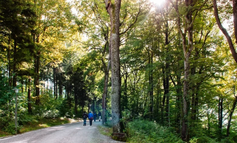
Urban centers across Europe are increasingly defined not only by their architectural heritage and cultural institutions but also by their immediate proximity to significant natural landscapes. As metropolitan populations seek healthier lifestyles and greater access to biodiversity, the concept of "urban hiking"—the ability to transition from a central transit hub to a mountain ridge or forest trail within an hour—has become a hallmark of European urban planning. This report examines nine premier hiking networks that are integrated into the transit systems of major European capitals, providing both recreational outlets and critical ecological buffers.
Sörmlandsleden: The Integration of Wilderness and Transit
The Sörmland Trail (Sörmlandsleden) represents one of the most successful examples of urban-to-wilderness connectivity in Northern Europe. Spanning over 1,000 kilometers (approximately 620 miles) across the Södermanland province, the trail system is uniquely accessible via the Stockholm metro system. Hikers can disembark at Björkhagen station and immediately enter the Nackareservatet, a sprawling nature reserve.
The trail’s historical development began in the 1970s, initiated by the Sörmland Trail Association with the intent of preserving access to the Swedish "allemansrätten" (the right of public access). The trail is segmented into over 100 individual stages, ranging from one to 20 kilometers, allowing for high customization. Environmental analysts note that the trail serves as a vital wildlife corridor, connecting the Baltic coastline to the interior forest valleys. For those undertaking multi-day treks, the presence of approximately 80 wind shelters provides basic infrastructure, though authorities emphasize that the region’s strict fire regulations and environmental protections must be observed by all users.
Zurich’s Planet Trail: Scientific Outreach Through Recreation
In Zurich, the Planet Trail (Planetenweg) offers a specialized hiking experience that bridges the gap between outdoor recreation and educational outreach. Running along the ridgeline between Uetliberg mountain and the Felsenegg vantage point, this trail is a scaled model of the solar system.
Designed to scale, each meter of the trail represents one million kilometers in space. The trail was established as a collaborative project between the local government and the Swiss Astronomical Society to commemorate the history of space exploration. The route is particularly significant for its accessibility, catering to families and casual walkers rather than alpine climbers. While the physical exertion is moderate, the trail serves a broader pedagogical purpose, helping to contextualize astronomical distances in a tangible, terrestrial format. The route concludes at Felsenegg, which provides a panoramic view of the Zurich basin and the Alps, highlighting the city’s integration into the Alpine foothills.
Arthur’s Seat: Geological Significance in Edinburgh
Dominating the skyline of Edinburgh, Scotland, Arthur’s Seat is a complex geological feature consisting of an extinct volcano system dating back approximately 350 million years. Located within Holyrood Park, the site is managed by Historic Environment Scotland.
The peak stands 251 meters (823 feet) above sea level, offering a vantage point over the UNESCO World Heritage site of Edinburgh’s Old and New Towns. Archaeological surveys have identified evidence of human occupation on the summit dating back to the Iron Age, with the remains of a hill fort providing evidence of early settlement patterns. Beyond its historical value, the area is a Site of Special Scientific Interest (SSSI), protected for its rare plant species and unique volcanic rock formations. The ascent via the Salisbury Crags provides a rigorous challenge, reflecting the city’s commitment to maintaining wild, rugged terrain in the heart of its urban fabric.
Mount Parnitha: Biodiversity and Ancient Heritage in Athens
Mount Parnitha National Park, located roughly 30 kilometers north of Athens, stands as the most significant ecological zone near the Greek capital. Recognized as a protected area since 1961, the mountain serves as a crucial habitat for the red deer (Cervus elaphus), a species that has seen successful population recovery due to conservation efforts within the park.
The trail network, encompassing 12 marked routes, navigates through karst formations, stalactite caves, and historical sites, including remnants of fortresses dating from the Byzantine and Mycenaean periods. The mountain also hosts two primary refuges, Bafi and Flambouri, which act as hubs for scientific researchers and recreational hikers alike. The proximity of such high-altitude terrain to a Mediterranean metropolis like Athens is increasingly recognized by environmentalists as essential for mitigating the "urban heat island" effect, as the mountain’s forest cover regulates air quality for the surrounding basin.
The Dublin Mountains Way: Managing Regional Connectivity
The Dublin Mountains Way, a 42-kilometer long-distance trail, functions as a bridge between the suburban sprawl of South Dublin and the rugged landscape of the Wicklow Mountains. Opened in 2010, the trail was developed by the Dublin Mountains Partnership—a collaborative effort between Coillte (the Irish Forestry Board), the National Parks and Wildlife Service, and local county councils.
The trail is designed to manage the high volume of recreational traffic in the area, providing sustainable access to key landmarks such as the Hell Fire Club and Fairy Castle. By formalizing these routes, regional planners have successfully reduced the impact of foot traffic on sensitive peatland and forest ecosystems. The trail is divided into three manageable sections, acknowledging the logistical needs of commuters and weekend visitors traveling from the city center via public transit.
Medvednica: Zagreb’s Managed Nature Park
The Medvednica Nature Park, which towers over Zagreb, is a rare example of a protected area that is physically connected to a capital city by a public tram line. The mountain is home to a diverse array of flora and fauna, as well as significant cultural landmarks like the 13th-century Medvedgrad fortress.
The administrative management of the park, under the Public Institution "Maksimir," emphasizes the balance between mass tourism and ecological preservation. The mountain features a network of 70 marked hiking trails and several mountain lodges that prioritize the use of local, sustainable ingredients. The trail to the summit, Sljeme, is the focal point of the network, reaching an elevation of 1,033 meters. During winter months, the mountain is also utilized for skiing, demonstrating the versatility of the infrastructure in supporting year-round regional tourism.
Barlindåsen Ridge: Ecological Access in Oslo
Oslo, often cited as one of the world’s most green-conscious capitals, provides residents with immediate access to the Barlindåsen Ridge. This trail offers a moderate challenge with high visual rewards, overlooking the Maridalsvannet lake and the forested expanse of Nordmarka.
The management of Oslo’s outdoor spaces is governed by the "Markaloven" (the Forest Act), which strictly regulates land use to ensure that the city’s surrounding green belts remain free from urban development. This legislative protection ensures that hikers can access the ridge within 30 minutes of the city center. The trail is characterized by its biodiversity, particularly during the late summer months when foraging for wild berries—a practice deeply rooted in Norwegian outdoor culture—is encouraged in designated areas.
Goetheweg: High-Alpine Access in Innsbruck
The Goetheweg trail in Innsbruck, Austria, represents the pinnacle of alpine integration. Utilizing the Nordkettenbahn cable car, hikers can reach an elevation of over 2,300 meters within 20 minutes of leaving the historic Altstadt.
This accessibility is a result of advanced engineering designed to facilitate both tourism and alpine research. The trail traverses the Karwendel Nature Park, the largest nature park in Austria. Because of the extreme elevation gain and rapid descent, local authorities mandate the use of appropriate gear, including hiking poles, to prevent musculoskeletal injuries. The route, which ends back in the city center, provides a rare case study in how vertical transport infrastructure can minimize the carbon footprint of accessing high-alpine zones.
Peninha Trail: Historical Preservation in Sintra-Cascais
The Peninha Trail in Portugal showcases the intersection of historical heritage and natural conservation. Located within the Sintra-Cascais Natural Park, the route passes the UNESCO-protected cultural landscape of Sintra.
The trail connects the Pena Palace to the westernmost point of continental Europe, Cabo da Roca. Management of the area is a complex task involving the Sintra-Cascais Natural Park Authority and cultural heritage agencies, given the density of historical sites along the trail. Officials have implemented strict traffic management strategies, encouraging hikers to utilize the train line from Lisbon rather than private vehicles to mitigate the environmental impact on the fragile, fog-prone ecosystem of the Serra de Sintra.
Conclusion and Future Implications
The integration of these trail systems into the European urban landscape serves as a critical indicator of regional sustainability. As cities continue to expand, the preservation of these corridors is not merely a matter of recreation but of environmental resilience. The success of these trails relies on the cooperation between municipal transport authorities, national park services, and the public. Moving forward, the challenge for these cities will be to balance the increasing popularity of urban hiking with the need to protect the biodiversity and historical integrity of these irreplaceable natural assets.