Little Rock Basecamp Proves the Natural State Capital Is an Unexpected Haven for Hikers

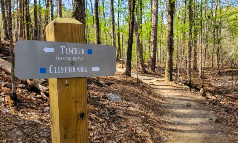
When outdoor enthusiasts contemplate hiking excursions in Arkansas, their focus almost invariably gravitates toward the rugged expanses of the Ozark Highlands Trail, the towering bluffs framing the Buffalo National River, or the extensive backcountry tracks threading through Hot Springs National Park. Yet, the state’s capital city, Little Rock, is frequently overlooked as a premier destination for trail sports. Best known historically for its pivotal civil rights heritage, dynamic arts scene, and striking nineteenth-century architecture, the urban center is, in reality, encircled by a diverse and accessible network of natural terrain. Recent outdoor evaluations demonstrate that Little Rock functions exceptionally well as a foundational basecamp for travelers seeking immediate access to varied wilderness experiences without sacrificing the conveniences of an urban hub.
Historical Origins and Modern Accessibility
Originally christened “La Petite Roche” (the little rock) by French explorers who mapped the region in the late eighteenth century, the area derived its moniker from a prominent rock outcropping and high bluffs anchoring the southern bank of the Arkansas River. Today, this geographic heritage anchors a burgeoning outdoor recreation economy. Local hospitality experts note that visitors arriving in the downtown district can transition from urban environments to technical boulder fields, quiet river corridors, and dramatic ridge-lines within a fifteen-mile radius.
Significantly, the primary trail systems surrounding the metropolitan area share consumer-friendly attributes: they are geographically convenient, entirely free of admission fees, and largely accessible to leashed domestic pets. This combination of urban proximity and wild topography has shifted perceptions among regional travel planners, transforming the capital from a mere historical stopover into a dedicated trailhead for regional exploration.

Pinnacle Mountain State Park: Central Arkansas’s Vertical Landmark
Located approximately fifteen miles west of downtown Little Rock, Pinnacle Mountain State Park serves as the crown jewel of the local park system, encompassing more than thirty-three miles of multi-use trails. The undeniable focal point of the protected area is Pinnacle Mountain itself, a prominent geological cone rising 1,011 feet above the surrounding terrain and serving as a visible navigational landmark across central Arkansas.
Recreational visitors typically choose between distinct ascent routes depending on their technical proficiency. The East Summit Trail, spanning approximately 0.75 miles, presents a steep, highly technical climb characterized by massive boulder fields and vertical rock scrambles. Conversely, the West Summit Trail offers a more gradual 1.3-mile ascent. For hikers seeking low-impact excursions, the park features the Kingfisher Trail, a flat, fully paved 0.5-mile route sharing a trailhead with the western approach, offering diverse ecological viewing opportunities without demanding elevation changes.
Emerald Park and Urban Scenic Overlooks
Positioned directly across the Arkansas River in North Little Rock, Emerald Park provides a contrasting landscape centered on the rim of the historical Big Rock Quarry. Spanning a more compact footprint than its state park counterpart, the municipal property delivers rugged singletrack segments that drop precipitously toward the quarry floor, alongside elevated bluff trails that cater to casual walkers.
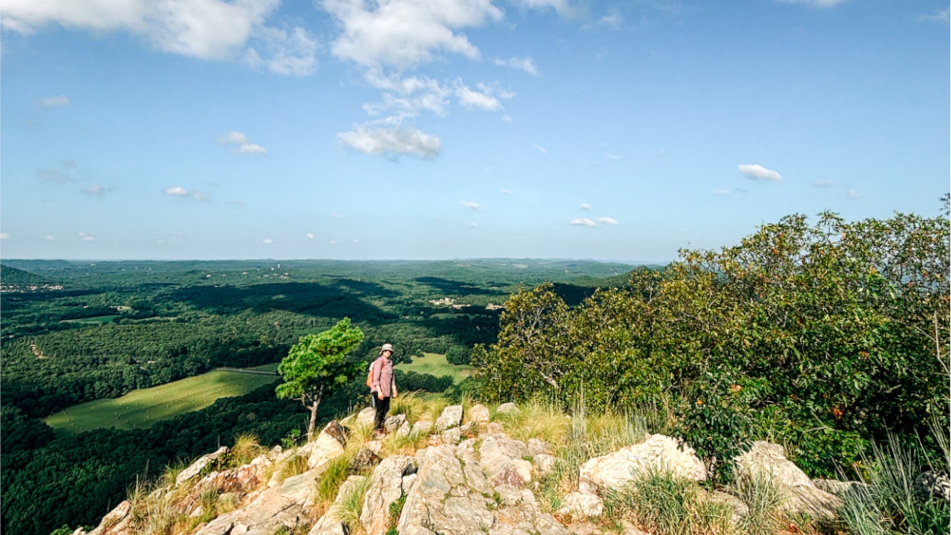
Urban planners and park administrators emphasize the conservation value of spaces like Emerald Park, which preserve natural topography within industrial and residential boundaries. The park is particularly valued by evening visitors for its unobstructed vantage points overlooking the Little Rock skyline and the expansive waters of the Arkansas River at sunset.
Rattlesnake Ridge Natural Area: Geological Ruggedness and Conservation
West Little Rock hosts the Rattlesnake Ridge Natural Area, a 373-acre protected expanse managed in collaboration with conservation organizations to preserve critical ridge habitats and native flora. Characterized by aggressive rock outcrops and exposed stone faces, the trail network mirrors the demanding terrain typically associated with the distant Ouachita Mountains.
Local outdoor outfitters note that Rattlesnake Ridge experiences significantly lower foot traffic than premier regional routes like the 223-mile Ouachita Trail, making it an ideal destination for hikers seeking solitude. Because the property is managed for multiple user groups, the singletrack routes are frequently utilized by both endurance hikers and cross-country mountain bikers navigating the technical descents.
Burns Park and the Arkansas River Infrastructure
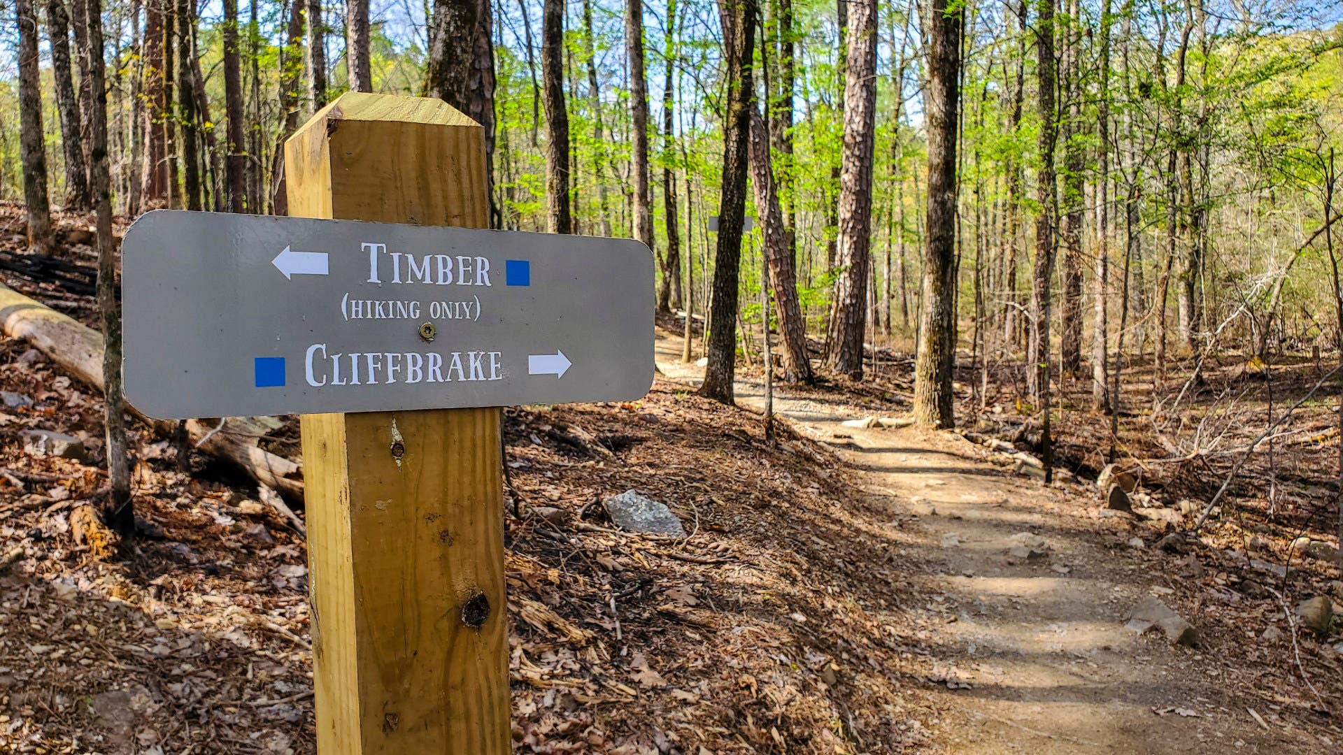
As one of the largest municipal parks in the United States, Burns Park occupies a sprawling tract of wooded, rolling terrain along the northern bank of the Arkansas River. Integrating approximately fifteen miles of dedicated trails, the park accommodates a broad spectrum of recreational interests, seamlessly weaving paths through dense timber, specialized disc golf installations, and dedicated BMX racing facilities just seven miles from the city center.
Complementing these woodland tracks is the Arkansas River Trail, an extensive paved corridor tracking both banks of the waterway. The comprehensive trail system establishes a continuous loop spanning roughly eighty-eight miles, linking downtown Little Rock, North Little Rock, and regional destinations such as Two Rivers Park. A central highlight of this infrastructure is the Big Dam Bridge, a converted navigation lock and dam that functions as one of the longest pedestrian and bicycle bridges in North America, facilitating uninterrupted cross-river transit for thousands of daily users.
Economic and Tourism Implications
The integration of robust trail systems within the Little Rock metropolitan footprint reflects a broader national trend in municipal development, where access to outdoor recreation is increasingly leveraged for economic growth and public health initiatives. Tourism data from the state indicates that investments in multi-use trails, pedestrian bridges, and state park infrastructure yield measurable returns by lengthening visitor stays and attracting demographic segments focused on active travel.
City officials and regional tourism boards have responded by expanding marketing efforts that position Little Rock not merely as a cultural destination, but as a versatile gateway to the Natural State’s wider ecological assets. By bridging the gap between sophisticated urban amenities and immediate wilderness access, Little Rock has successfully redefined its identity for contemporary travelers, establishing a durable model for municipal outdoor recreation management.