A Comprehensive Guide to Hiking in Cyprus Exploring the Mediterranean’s Premier Active Travel Destination

Cyprus has long been characterized in the global tourism market as a "sun and sea" destination, dominated by expansive beach resorts and a vibrant nightlife. However, recent shifts in travel trends and a concerted effort by the Deputy Ministry of Tourism have highlighted the island’s potential as a premier destination for eco-tourism and active travel. Beyond the coastal fringes lies a geographically diverse interior featuring rugged limestone gorges, high-altitude mountain ranges, and ancient forests. This guide examines the burgeoning hiking infrastructure in Cyprus, detailing the primary trails, the geological significance of the landscape, and the logistical frameworks required for a successful active itinerary.
The Geographical and Geological Context of Cyprus
The Republic of Cyprus, situated in the eastern Mediterranean, possesses a unique geological history that directly contributes to its variety of hiking terrains. The island is defined by two mountain ranges: the Troodos Mountains in the center and the Kyrenia Range along the northern coast. The Troodos range is of particular interest to geologists and naturalists as it is a rare example of an ophiolite—a section of the Earth’s oceanic crust and the underlying upper mantle that has been uplifted and exposed above sea level. This formation results in a landscape rich in volcanic rocks and diverse soil types, supporting a high degree of endemism in flora and fauna.
The island’s climate is typically Mediterranean, characterized by hot, dry summers and mild, wet winters. This climate makes Cyprus an outlier in the European hiking market, offering viable trekking conditions during the winter months when most continental mountain ranges are inaccessible.
Primary Hiking Trails: From Coastal Cliffs to Alpine Peaks
The hiking infrastructure in Cyprus is primarily managed by the Department of Forests, which maintains dozens of nature trails across the island. These trails are categorized by difficulty and are often integrated into the E4 European Long Distance Path.
The Aphrodite Loop and the Akamas Peninsula
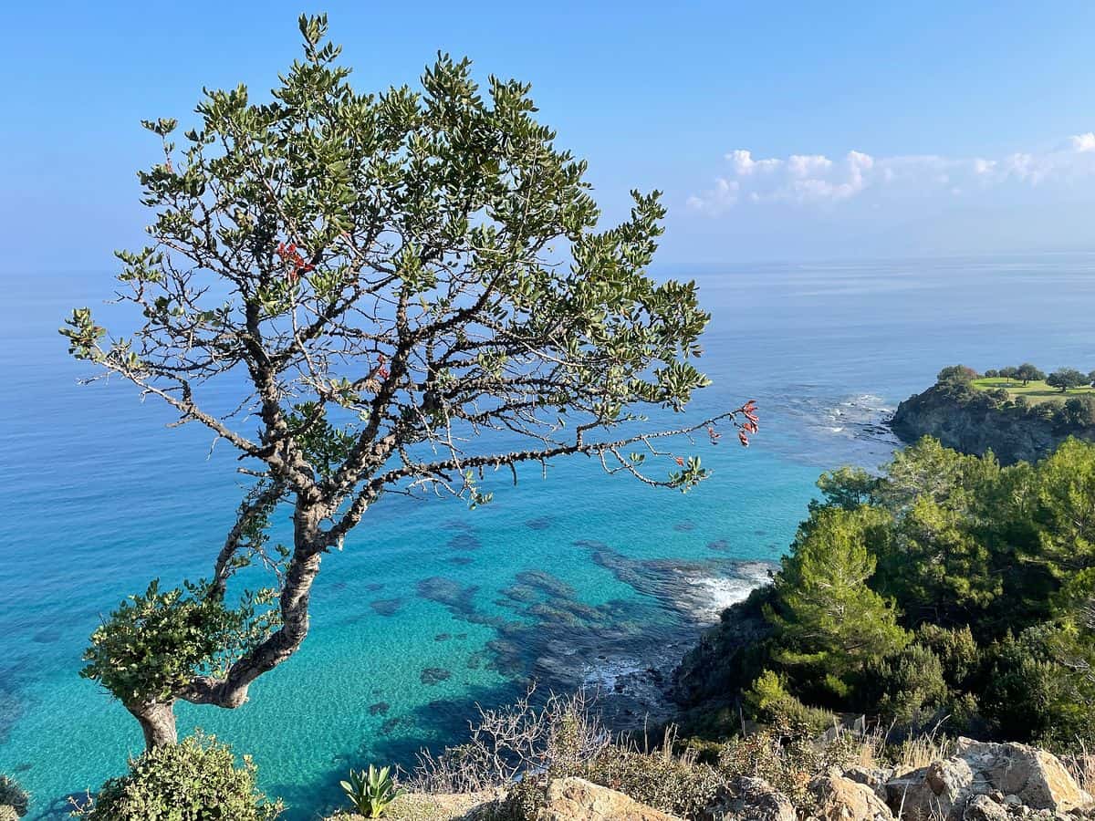
The Akamas Peninsula, located on the northwestern tip of the island, remains one of the last wilderness frontiers in Cyprus. The Aphrodite Loop is arguably the most significant trail in this region. Spanning approximately 7.5 kilometers (4.7 miles), the trail begins at the Baths of Aphrodite—a natural grotto where, according to legend, the Greek goddess of love met her lover, Adonis.
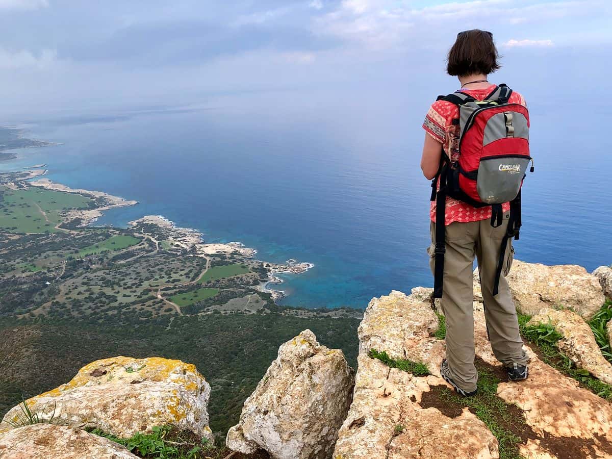
The trail ascends through juniper and cypress forests to the peak of Moutti tis Sotiras, providing panoramic views of Cape Arnoutis and the Chrysochou Bay. Geographically, the area is noted for its limestone cliffs and serpentine rocks. For those seeking an extended experience, the Adonis Trail connects to the Aphrodite Loop, adding an additional 4 kilometers (2.5 miles) of inland forest paths. The region is home to endemic species such as the Cyprus tulip and the rare Monk seal, which inhabits the coastal caves.
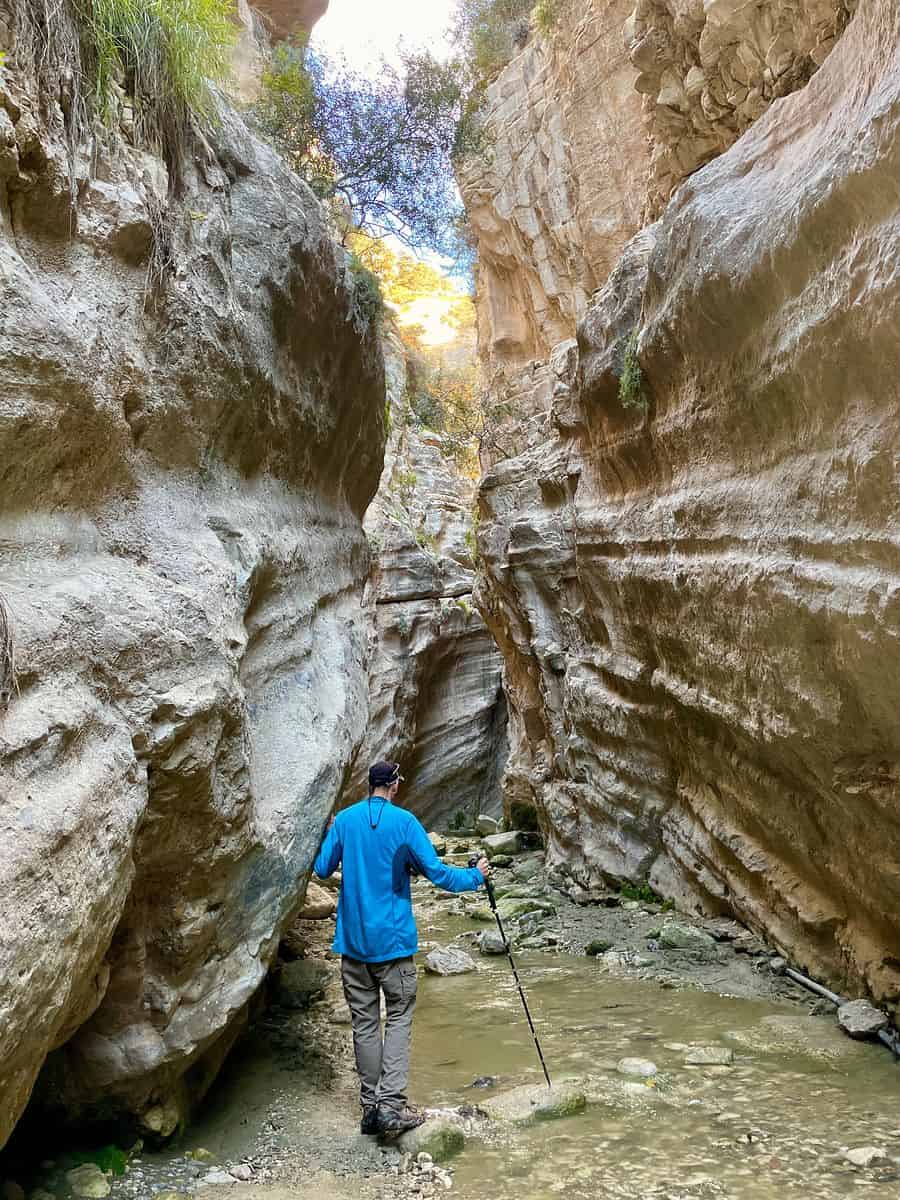
Avakas Gorge: A Study in Erosion
Located on the western edge of the Akamas region, the Avakas Gorge offers a starkly different environment. This trail is a masterpiece of nature’s erosive power, where a stream has carved through limestone walls that reach heights of 30 meters (nearly 100 feet). The gorge is approximately 3 kilometers long, though the most dramatic "slot canyon" section occurs within the first kilometer.
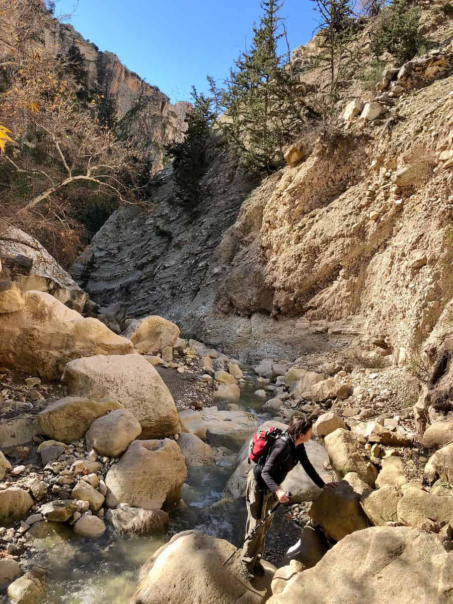
Navigating the gorge requires a degree of technical agility, as hikers must traverse slippery boulders and stream crossings. The microclimate inside the gorge is significantly cooler than the surrounding area, supporting moisture-loving plants such as the endangered Centauria akamantis. Due to the risk of flash flooding and falling rocks, authorities advise against entering the gorge during or immediately after heavy rainfall, which is most common between December and February.

The Atalante Trail: High-Altitude Trekking in the Troodos
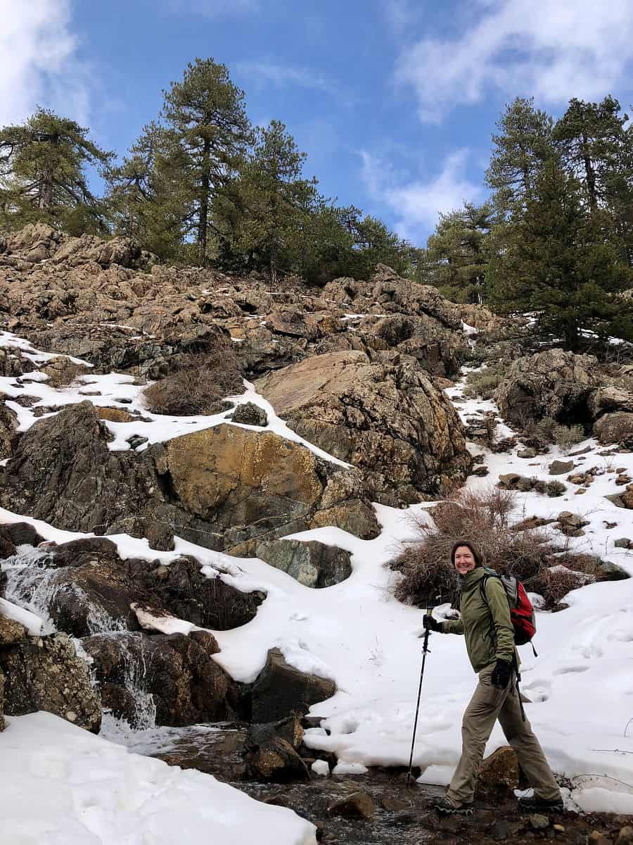
The Troodos Mountains provide the island’s highest hiking altitudes, centered around Mount Olympus, which stands at 1,951 meters (6,401 feet). The Atalante Trail is a circular route that circumvents the peak at an average altitude of 1,700 to 1,750 meters.

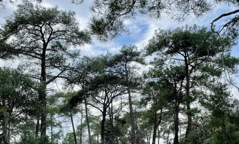
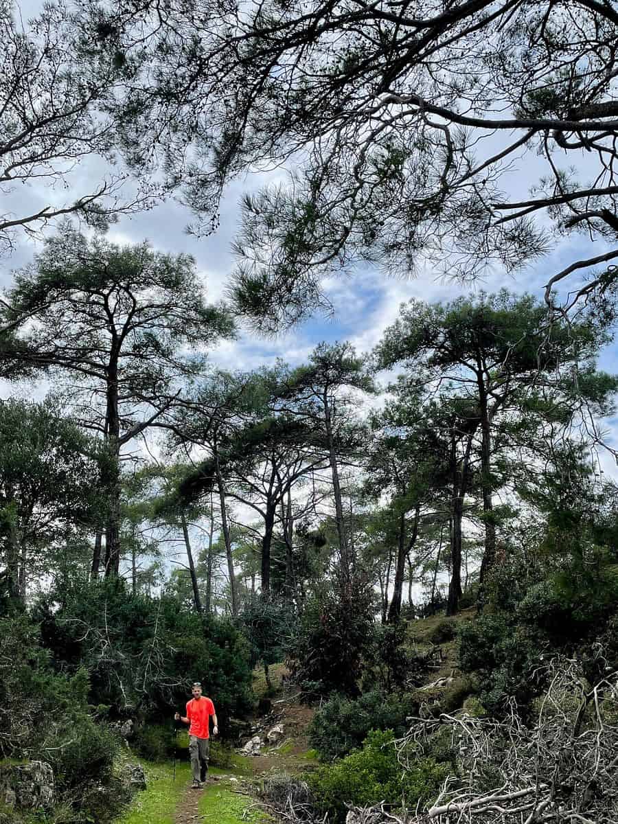
This 14-kilometer (8.7-mile) loop passes through dense forests of black pine (Pinus nigra) and foetid juniper (Juniperus foetidissima). Some of the juniper trees in this region are estimated to be over 800 years old. In winter, the Atalante Trail is frequently covered in snow, requiring appropriate gear such as waterproof boots and trekking poles. The trail also offers a historical perspective, passing near old chromium mines that were active until the mid-20th century.
Cape Greco: The Eastern Coastal Frontier
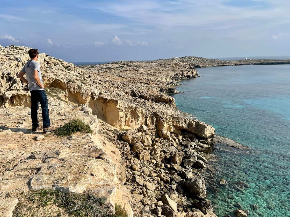
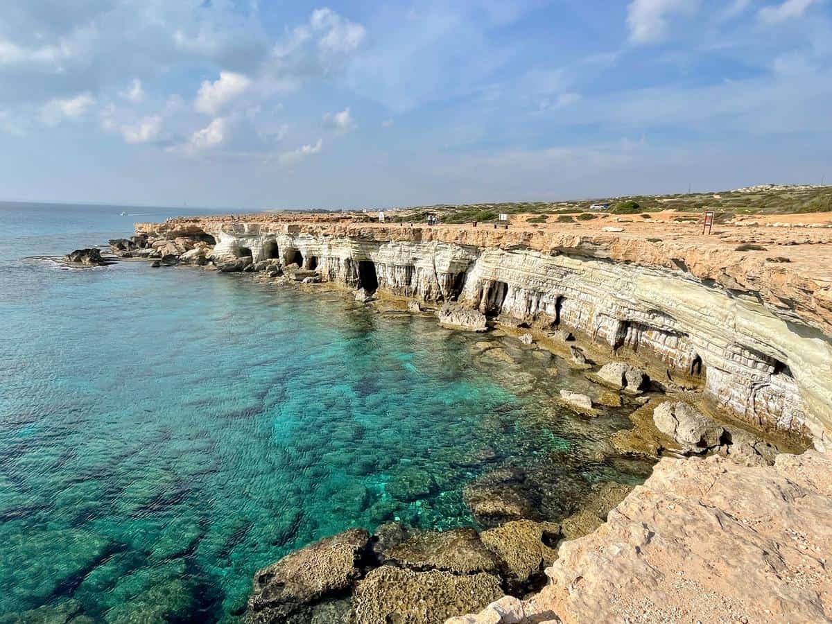
On the southeastern coast, near the resort town of Ayia Napa, lies the Cape Greco National Forest Park. Unlike the mountainous interior, Cape Greco is characterized by sea caves, natural stone bridges, and low-lying scrubland. The trail from the Sea Caves to Konnos Beach covers approximately 6 kilometers (3.7 miles) of coastline.

This area is a designated Natura 2000 site, protected for its migratory bird populations and rare orchids. The trail provides access to the Ayioi Anargyroi Chapel, where stairs lead down to a sea-level cave. The turquoise waters and white sands of Konnos Beach serve as the terminus for this route, illustrating the intersection of the island’s natural beauty and its famous coastal leisure spots.
Strategic Itinerary Planning and Chronology
A comprehensive hiking tour of Cyprus typically requires seven to ten days to account for travel between the distinct geographical regions. A logical chronology often begins in the east and moves toward the rugged west.

- Day 1-2: The Southeast Coast. Arrival via Larnaca International Airport. Initial exploration of Cape Greco to acclimatize to the Mediterranean terrain.
- Day 3-4: The Divided Capital and Central Range. Transit to Nicosia, the world’s last divided capital. This offers a cultural interlude and access to the northern slopes of the Troodos.
- Day 5: The High Troodos. A full day dedicated to the Atalante or Artemis trails around Mount Olympus. This segment represents the peak physical exertion of the trip.
- Day 6-7: The Western Wilds. Transit to Paphos or Polis. Completion of the Avakas Gorge and the Aphrodite Loop. This region also allows for visits to UNESCO World Heritage archeological sites, such as the Tombs of the Kings.
Logistical Considerations and Infrastructure
Transportation
While Cyprus has a public bus system (Cyprus by Bus), many trailheads, particularly in the Akamas and Troodos regions, are not easily accessible via public transit. Consequently, car rental is the preferred method of transport for active travelers. It is important to note that driving in Cyprus is on the left-hand side of the road, a legacy of British colonial rule.
Seasonal Timing
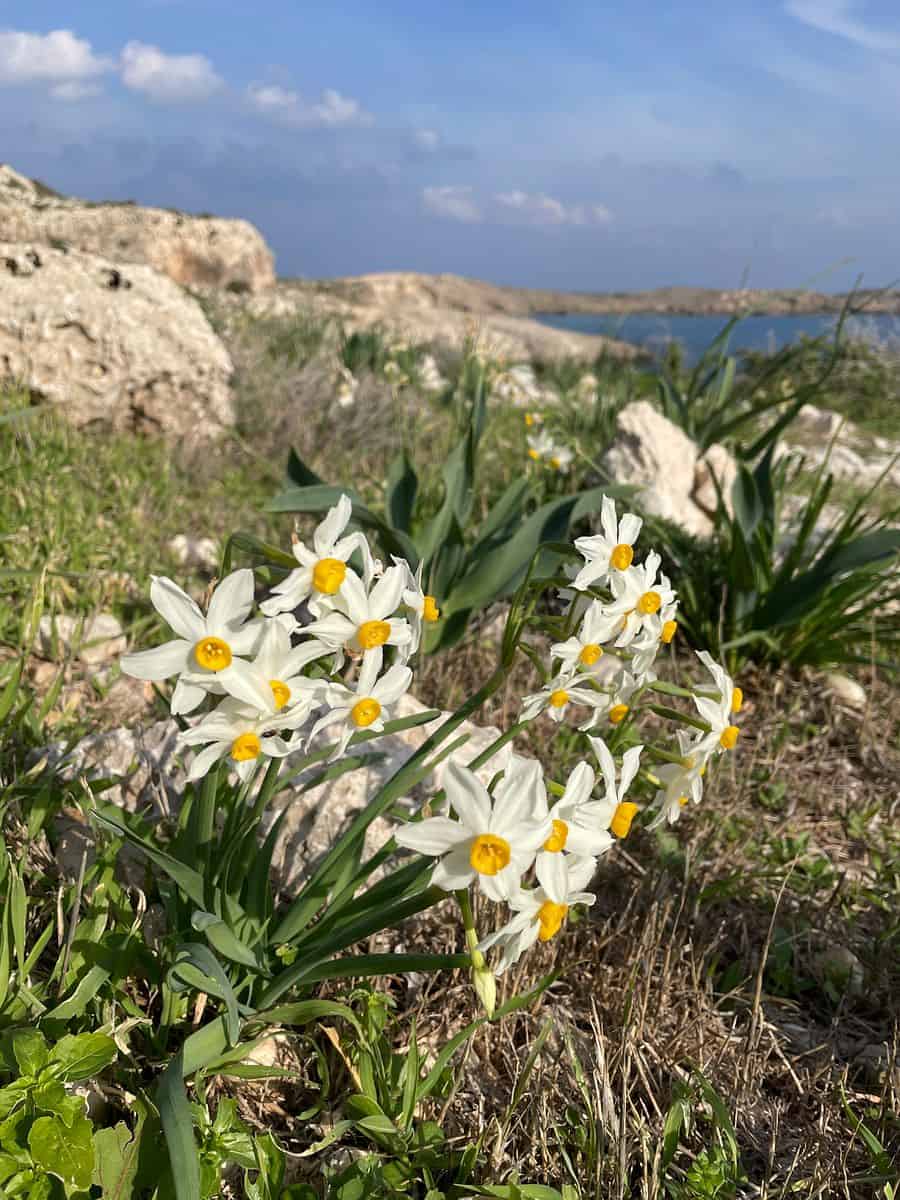
The "shoulder seasons" of spring (March to May) and autumn (October to November) are widely considered the optimal windows for hiking. Spring offers the added benefit of blooming wildflowers and flowing streams, while autumn provides warm sea temperatures for post-hike swimming. Winter hiking is feasible and increasingly popular, though it requires preparation for snow in the mountains and rain in the valleys. Summer (June to August) is generally discouraged for strenuous hiking due to temperatures frequently exceeding 35°C (95°F) and high UV exposure.

Equipment and Safety
Standard day-hiking gear is sufficient for most Cypriot trails. Essential items include:
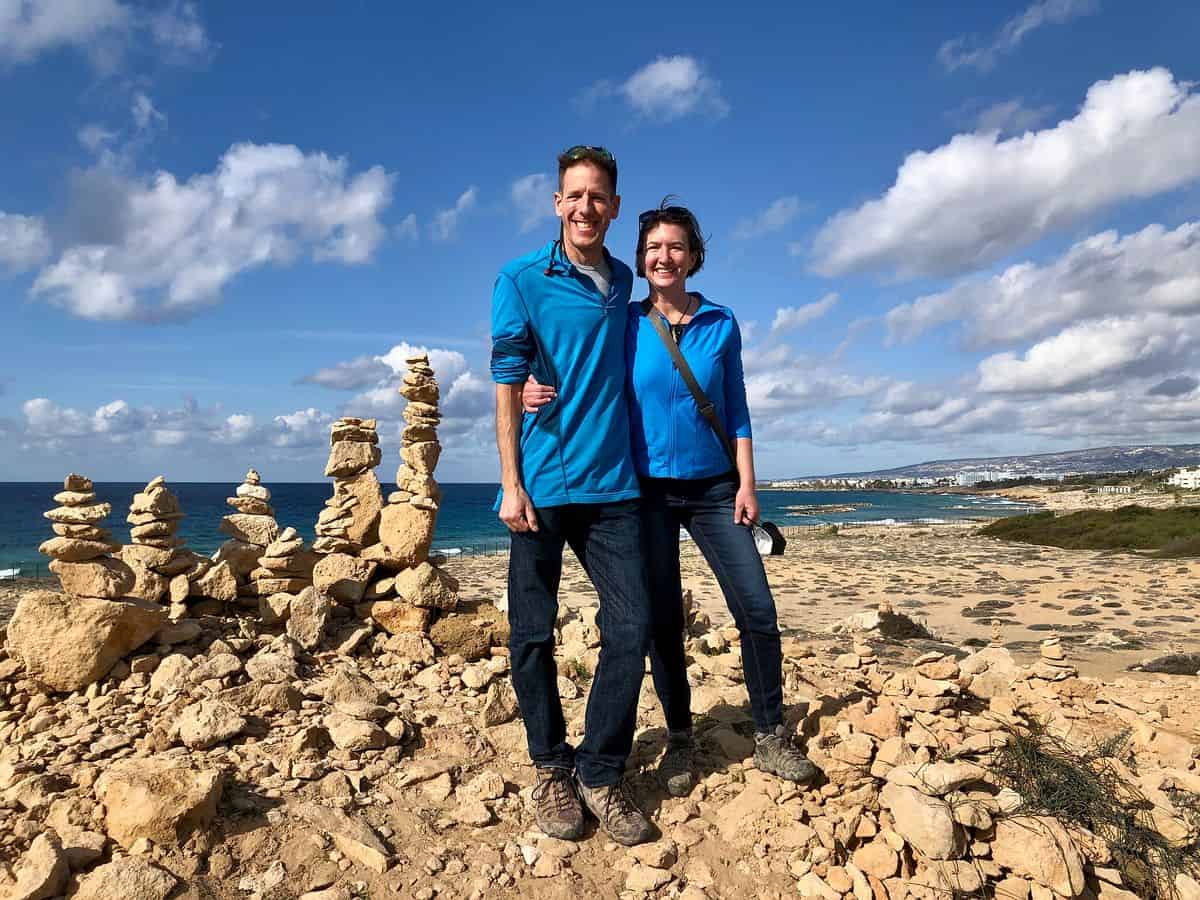
- Sturdy hiking boots with ankle support (essential for the rocky terrain of Avakas and Akamas).
- A minimum of 2-3 liters of water per person, as natural springs are rare on the trails.
- GPS-enabled maps or offline hiking apps (e.g., Komoot, AllTrails), as trail markings can be inconsistent in remote areas.
- Sun protection, including high-SPF sunscreen and wide-brimmed hats.
Broader Economic and Environmental Impact
The promotion of hiking in Cyprus is part of a broader strategy to diversify the tourism economy. By encouraging travel to the interior and mountainous regions, the government aims to alleviate the environmental pressure on coastal hotspots and provide economic support to rural villages that have seen a decline in traditional agriculture.

Furthermore, the emphasis on hiking fosters a culture of conservation. Many of the island’s trails are located within protected National Forest Parks or Natura 2000 sites. The presence of eco-conscious travelers provides a financial incentive for the state to maintain these habitats and protect them from invasive development.

Conclusion
Cyprus is successfully repositioning itself as a multi-dimensional destination where deep history and natural diversity converge. The island’s hiking trails—ranging from the subterranean depths of Avakas Gorge to the sub-alpine heights of the Troodos—offer a rigorous and rewarding experience for the active traveler. As infrastructure continues to improve and global interest in sustainable travel grows, Cyprus is poised to become a central hub for Mediterranean trekking, proving that its greatest treasures lie well beyond the reach of its beach umbrellas.