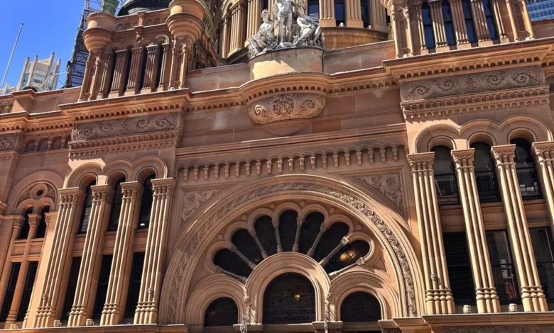
Sydney has long maintained its status as a primary global destination, consistently ranking among the top travel hubs in the Asia-Pacific region. While the city has been a fixture on international travel itineraries for decades, recent data indicates a surge in post-pandemic tourism, with millions of visitors flocking to the New South Wales capital to experience its unique synthesis of dense urban infrastructure and coastal topography. A five-day window provides the optimal timeframe for visitors to engage with the city’s complex geography, blending historical landmarks with contemporary cultural developments.
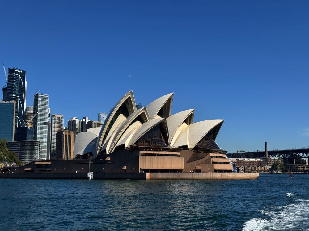
The Geography of Sydney: A Functional Overview
Spanning approximately 12,368 square kilometers, Sydney’s urban sprawl is anchored by the Sydney Harbour, a natural deep-water inlet that serves as the city’s economic and symbolic center. The city’s public transport network—a sophisticated integration of heavy rail, light rail, bus networks, and the iconic Sydney Ferries—allows for seamless navigation across diverse districts. According to the Transport for New South Wales (TfNSW) annual reports, the ferry network alone moves millions of passengers annually, underscoring its role as both a vital commute utility and a premier tourist conduit.
Day 1: Establishing the Urban Core and Maritime Heritage
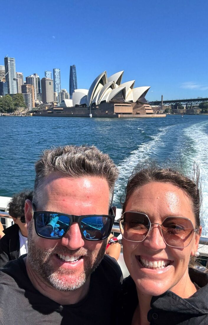
The initial phase of any Sydney visit focuses on the Circular Quay precinct. This area serves as the foundational point for historical context, housing the Sydney Opera House—a UNESCO World Heritage site since 2007—and the Sydney Harbour Bridge. Completed in 1932, the bridge remains one of the most significant engineering feats of the 20th century.
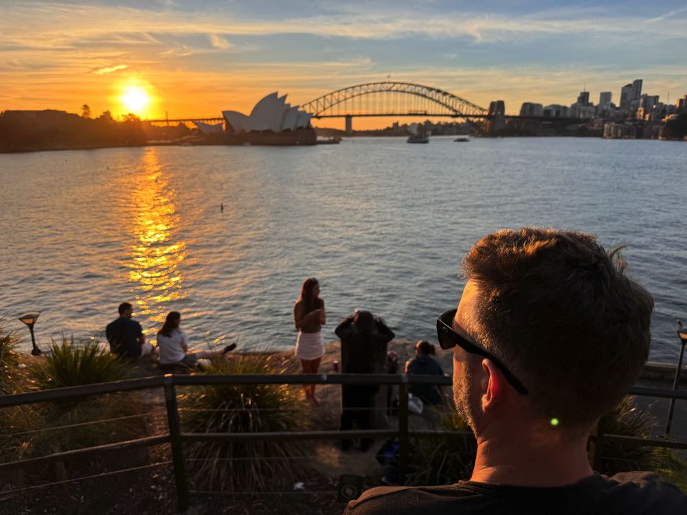
A critical component of this maritime district is "The Rocks," the city’s oldest European settlement area. Modern urban planners have successfully preserved the area’s 19th-century colonial architecture while integrating it into the city’s contemporary dining and retail landscape. Official tourism data suggests that visitors who engage in harbor-based activities, such as evening dinner cruises, gain a clearer understanding of the city’s skyline development, particularly the contrast between the historic maritime structures and the modern high-density architecture of the Central Business District (CBD).
Day 2: The Coastal Infrastructure and Beach Economy
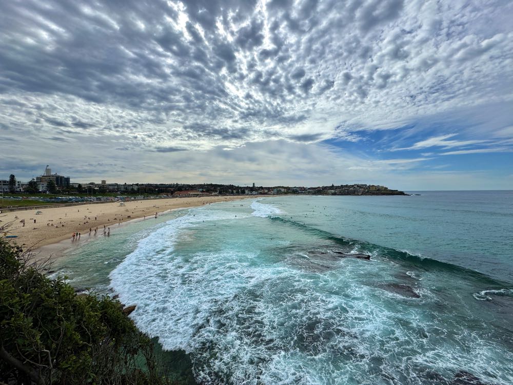
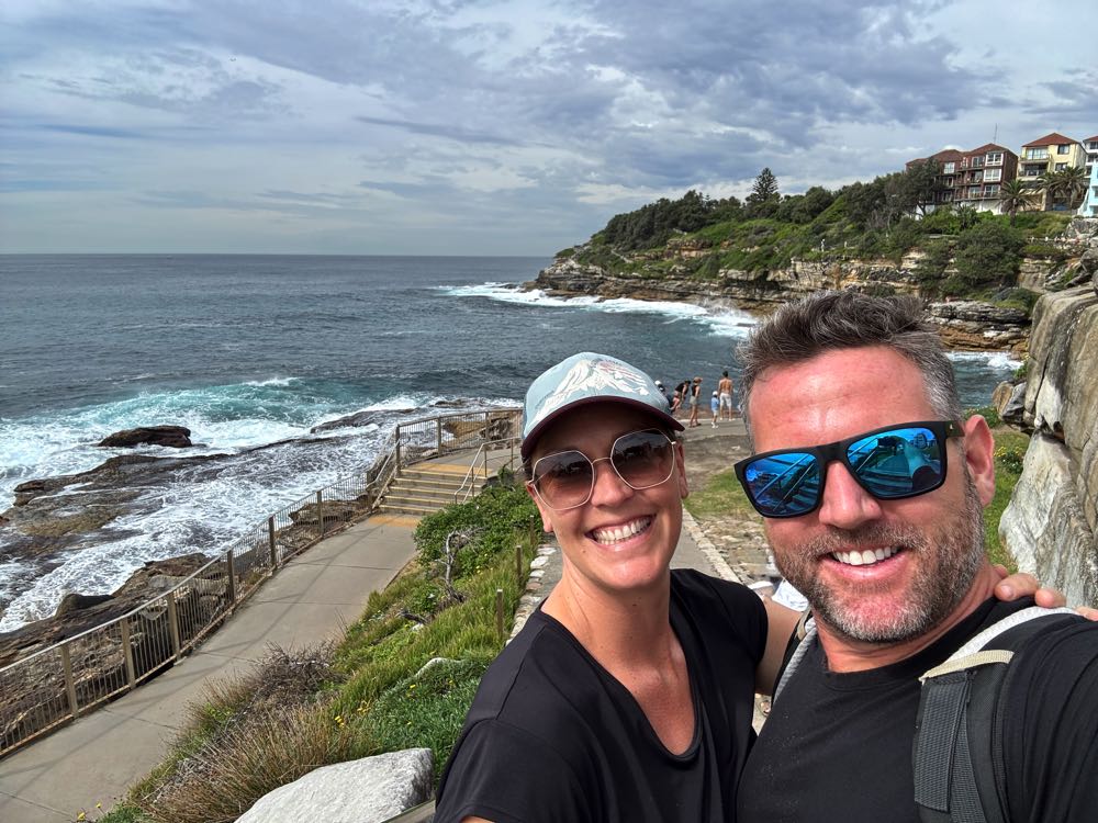
The second day shifts focus to the eastern suburbs, specifically the Bondi to Coogee coastal corridor. This six-kilometer walking track is more than a recreational trail; it is a vital piece of the city’s public health and environmental infrastructure. The route traverses the rugged sandstone cliffs that define the coastline and connects several ocean pools—natural rock formations adapted for swimming—which serve as essential community hubs.

The popularity of Bondi Beach, which recorded over 2.6 million visitors in recent peak seasons, highlights the necessity of robust public transit links. The integration of the Bondi Junction transport hub with dedicated bus corridors (such as the 333 route) illustrates the city’s focus on managing high-density tourist traffic without necessitating private vehicular travel. From a sociological perspective, the beach culture in Sydney acts as a socioeconomic equalizer, providing public access to high-value real estate.
Day 3: CBD Vitality and Green Space Management
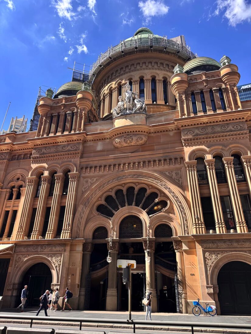
Sydney’s CBD is a study in vertical integration. The Queen Victoria Building (QVB), an 1898 Romanesque Revival structure, stands as a testament to the city’s commitment to adaptive reuse. Rather than being demolished for modern office space, the QVB serves as a high-end retail center, effectively balancing historical preservation with economic viability.
Adjacent to the dense office blocks, the Royal Botanic Garden and Hyde Park provide necessary "green lungs" for the city. These spaces are not merely ornamental; they play a critical role in mitigating the urban heat island effect, a common challenge for global metropolises. The juxtaposition of the St. Mary’s Cathedral and the surrounding commercial skyline offers a visual representation of Sydney’s multifaceted identity. Recent data on city planning emphasizes that proximity to such green spaces significantly impacts real estate valuation and visitor dwell-time in urban centers.
Day 4: Maritime Transit and the Manly Model
The ferry journey from Circular Quay to Manly acts as a litmus test for the city’s transport efficiency. Crossing the harbor takes approximately 30 minutes, providing a perspective of the city that road-based transport cannot replicate. Manly serves as an example of a "satellite" urban center that maintains a distinct identity from the CBD.
The pedestrianization of the Corso in Manly has been cited by urban analysts as a successful model for retail stimulation. By restricting vehicular access, the local government has fostered a high-foot-traffic environment that supports a diverse range of local businesses, from small-scale gelaterias to large-scale hospitality venues. The transition from the high-energy CBD to the relaxed, surf-oriented culture of Manly highlights the geographic diversity within the Sydney metropolitan area.
Day 5: Educational Tourism and Panoramic Perspectives
The final day of a five-day itinerary is best utilized for contextualizing the previous four days of exploration. Organized walking tours have seen a 15% increase in popularity, as visitors increasingly seek narrative-driven experiences that explain the city’s indigenous history and the subsequent impacts of British colonization.
The Sydney Tower Eye, standing at 309 meters, provides the final piece of the urban puzzle. By viewing the city from this vantage point, visitors can see the interconnectedness of the transport nodes, the expanse of the harbor, and the density of the inner-city neighborhoods. This aerial perspective is essential for understanding the sheer scale of the city, which covers a vast geographical footprint.
Economic and Sociological Impact of Five-Day Stays
Data from Tourism Australia indicates that a five-day stay is the "sweet spot" for international visitors. It allows for a comprehensive itinerary that includes the primary landmarks, cultural districts, and natural assets, while also providing sufficient time for the "unstructured" leisure that characterizes the Australian lifestyle.
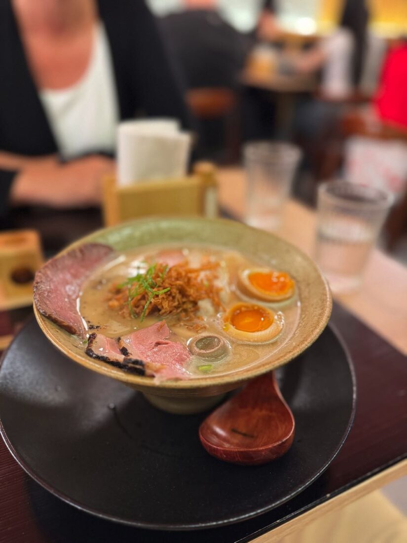
The broader implications of this travel pattern are significant for the local economy. The shift toward a mix of walking-heavy exploration and the use of public transit reduces the carbon footprint of tourism and eases the burden on the city’s road infrastructure. Furthermore, the emphasis on local culinary experiences—such as the burgeoning Asian-fusion food scene in the CBD—supports a diverse and decentralized economy.
Concluding Analysis
Sydney’s success as a global destination is rooted in its ability to manage the competing interests of a modern financial center and a major tourist hub. The city provides a framework where infrastructure, such as the ferry system and coastal walkways, facilitates a high quality of life for residents and an accessible, enjoyable experience for visitors.
For the average traveler, the five-day period is sufficient to move beyond the superficial "postcard" sites and develop a nuanced understanding of the city’s layout and culture. While the city offers enough content for longer stays, five days provides the necessary depth for an informed assessment of Sydney’s place in the global urban hierarchy. By prioritizing public transit and integrating historical sites into the modern economy, Sydney continues to set a standard for balanced, sustainable urban tourism.