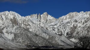
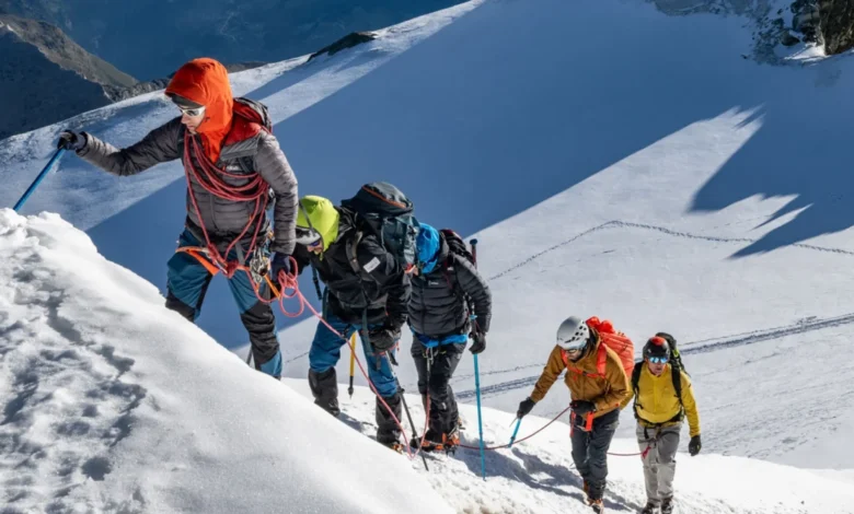
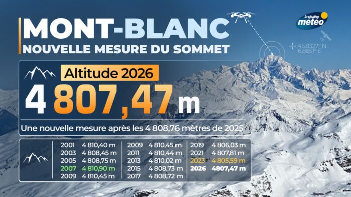
In an era defined by the rapid recession of glaciers and the general thinning of mountain snowpacks across the globe, the latest report regarding the altitude of Mont Blanc presents a curious geological paradox. According to the latest findings from France’s National Geographic Institute (IGN), the highest peak in the Alps has gained 1.88 meters in height since its last official measurement in 2023. The summit now stands at a recorded altitude of 4,807.47 meters above sea level, a figure that reinforces the mountain’s status as a dynamic and ever-shifting giant of the European landscape.
However, glaciologists and geographers are quick to advise that this growth is not a sign of tectonic uplift or an increase in the underlying rock mass. Instead, it is a testament to the volatile nature of the mountain’s permanent ice cap. This biennial survey, conducted by the Order of Chartered Surveyors, serves as a periodic reminder that the "official" height of Mont Blanc is a fluid metric, dictated more by meteorological patterns, wind-driven snow accumulation, and the thermal history of the preceding years than by the stable geography of the massif itself.
A History of Fluctuating Altitudes
The measurement of Mont Blanc has been a tradition of scientific rigor for decades. Since 2001, the IGN and its partners have conducted surveys every two years, providing a detailed, albeit fluctuating, record of the summit’s elevation. The data from these campaigns reveal a high degree of variability. For instance, in 2007, the mountain was measured at 4,810.90 meters, while in 2021, the recorded height dropped to 4,807.81 meters. The 2023 measurement showed an even lower point, and the 2026 data—at 4,807.47 meters—suggests a significant recovery from the drought-like conditions experienced at high altitudes during the previous cycle.
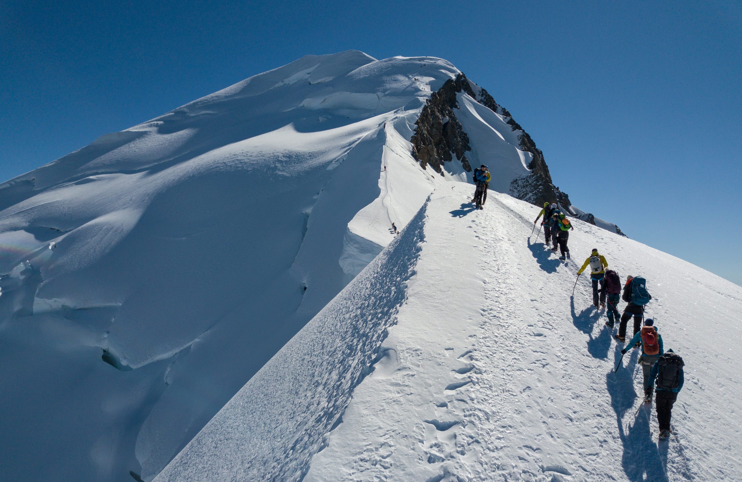
Jean des Garets, a chief geometer in the Haute-Savoie department, has long emphasized that individual measurements should be viewed as data points within a larger trend rather than absolute indicators of the mountain’s health. The summit is not a static point of granite; it is a precarious mound of compacted snow and ice that sits atop the rocky bedrock, which remains consistently at an altitude of approximately 4,792 meters. The "growth" observed in 2026 is essentially a reflection of a more favorable accumulation season, where precipitation and wind patterns conspired to deposit a thicker layer of snow and ice over the rocky peak than was present during the 2023 survey.
The 2026 Expedition: Logistics and Methodology
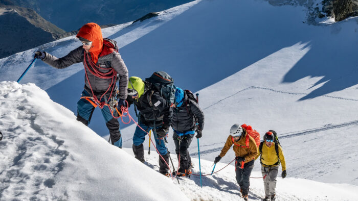
The 2026 survey expedition was a masterclass in high-altitude logistics. Before the team of chartered surveyors could approach the summit, they underwent a rigorous acclimatization process, spending time on the Bishorn at 4,153 meters to ensure they could perform high-precision technical work at extreme altitudes. The final ascent took place on September 15 and 16, 2026, via the standard route.
Once the team reached the summit, they utilized Global Navigation Satellite System (GNSS) poles. This technology allows for the capture of precise coordinates and altitude data in real-time, triangulating signals from multiple satellite constellations to ensure sub-centimeter accuracy. However, in the 2026 mission, the scope of the investigation expanded significantly. Recognizing that traditional altitude measurements often conflate ice accumulation with geological movement, the team introduced a gravimetric component to their research.
Gravimetry: Unlocking the Secret of Mass
For the first time in the history of Mont Blanc surveys, the team installed a gravimeter on the summit. A gravimeter is an instrument used to measure the local gravitational field of the Earth. By measuring the precise force of gravity at the peak, researchers can infer changes in the density and mass distribution directly beneath the sensor.
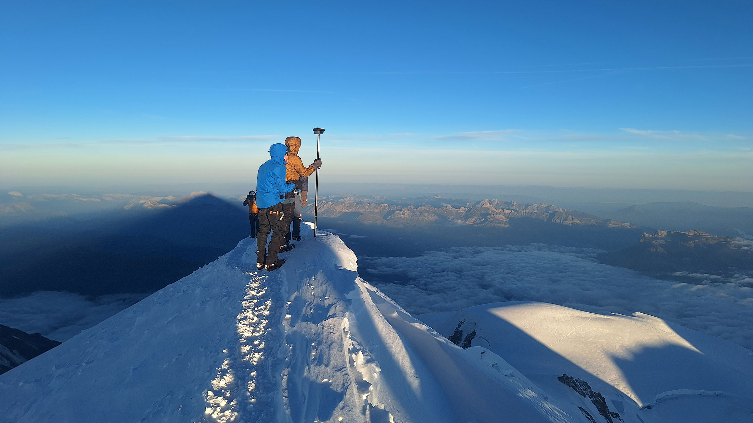
The device recorded a gravity value of 9.7944689 m/s². To provide context, this value is lower than the 9.81 m/s² measured in Marseille at sea level and the 9.8043046 m/s² recorded in the nearby village of Saint-Gervais-Le Fayet. This discrepancy is expected due to the altitude and the mass of the mountain itself, but the specific reading provides a baseline for future comparison.
Olivier Jamet, a key researcher involved in the project, explained the rationale behind this new layer of data: "When the height of Mont Blanc changes, we cannot know for sure whether the ground or the rock has moved or if the ice has melted. Gravity provides the missing information: mass."
By monitoring mass fluctuations, scientists hope to eventually disentangle the "noise" of seasonal snow from the potential, more concerning signals of underlying glacial thinning. If the ice cap melts, the gravimeter will detect a reduction in mass; if the rock itself undergoes shifts or the ice becomes more dense due to compaction, the readings will reflect those changes accordingly. This longitudinal study is essential as climate change continues to exert pressure on Alpine environments.
Implications for Climate Science
The broader implications of these findings reach far beyond the simple curiosity of a mountain’s height. The Alps serve as a "water tower" for much of Europe, and the health of their glaciers is a primary indicator of regional climatic shifts. While the 1.88-meter growth of Mont Blanc is a positive anomaly in a period of general warming, it does not negate the long-term trend of glacial retreat.
Climate scientists analyze these measurements to calibrate regional models. The variation in the snow cap reflects the changing intensity of winter storms and the duration of the summer melt season. In years where the "summit cap" is thicker, it indicates a summer that was perhaps less extreme in terms of heatwaves, or a winter that delivered significant moisture. Conversely, the low measurements seen in 2023 serve as a grim indicator of a year characterized by severe, prolonged heat that accelerated the ablation of the high-altitude ice.
The Role of Professional Surveyors
The Order of Chartered Surveyors in France has played an indispensable role in maintaining this record. Their work is voluntary, often self-funded or supported by institutions like the IGN, and requires a high level of mountaineering expertise combined with extreme technical precision. By maintaining this biennial cadence, they have created one of the most reliable long-term data sets for a mountain summit anywhere in the world.
As the scientific community continues to digest the 2026 data, the focus is shifting toward integrating the gravimetric model with satellite imagery and historical records. The goal is to move beyond simply asking, "How high is the mountain?" and instead ask, "How is the mountain’s mass changing over time?"
Conclusion: A Dynamic Landmark
For the casual climber or the tourist visiting the Chamonix valley, the figure of 4,807.47 meters might seem like an immutable fact. However, the reality of Mont Blanc is that it is a living, breathing landmark. It is a mass of rock shaped by tectonic forces, covered by a shifting mantle of ice that responds to the smallest changes in the atmosphere.
While the "growth" of 2026 provides a moment of reprieve in the discourse surrounding Alpine decline, the scientific community remains vigilant. The integration of gravity measurements into the survey protocol marks a new era of sophistication in how we monitor these high-altitude giants. As the Earth continues to warm, the data collected by these intrepid surveyors will remain one of our most effective tools for understanding the intricate relationship between our mountains, our climate, and the forces that shape the physical world. For now, the guides and maps will be updated, but they will likely be updated with the caveat that the summit of Mont Blanc is not a destination that stays in one place—or at one height—for long.