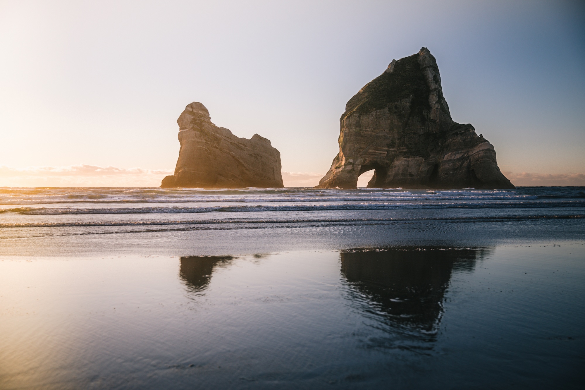
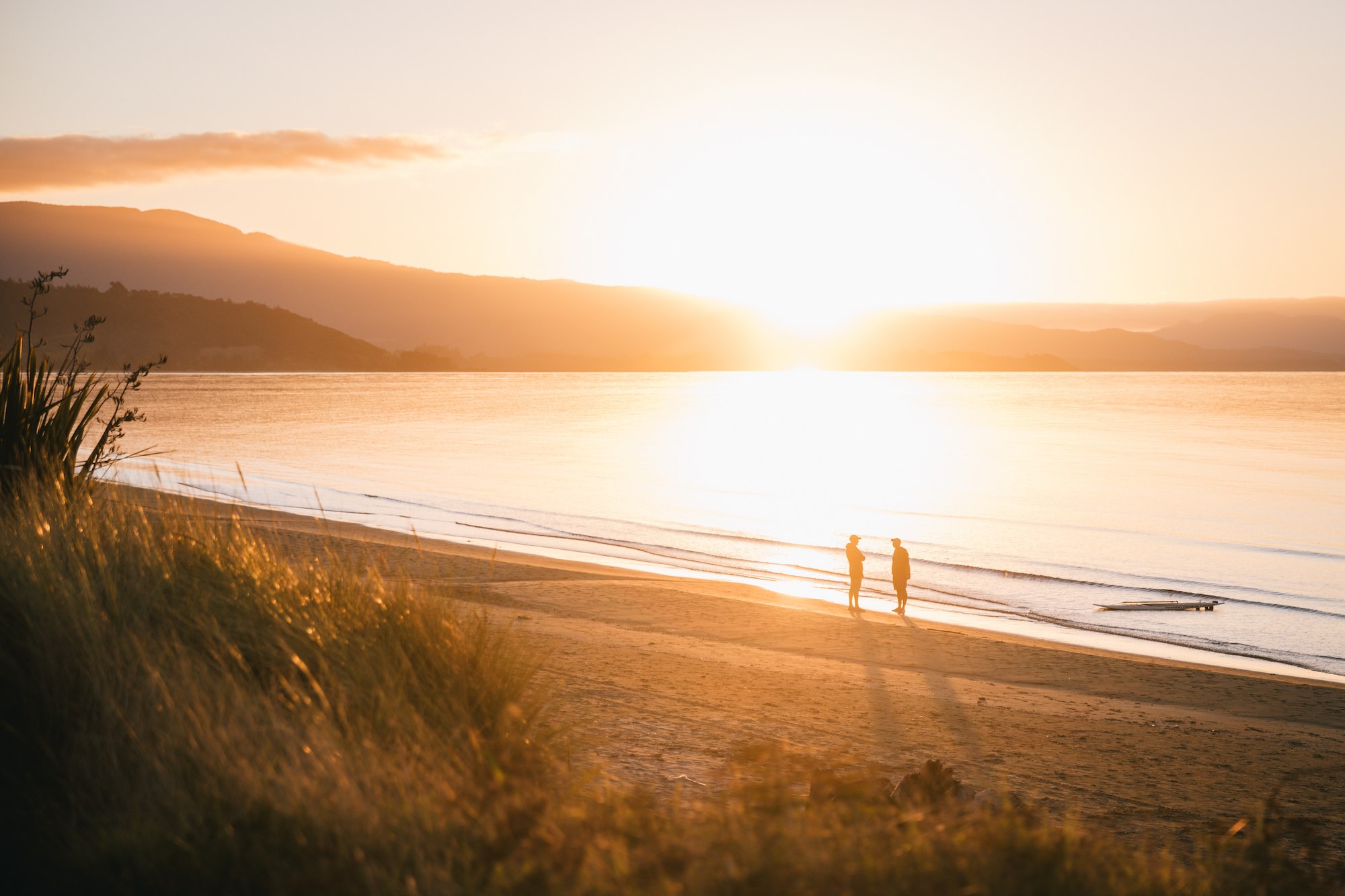
Golden Bay, situated at the northwestern tip of New Zealand’s South Island, remains one of the country’s most distinct geographical and cultural regions, defined by its relative isolation, Mediterranean-style climate, and significant ecological landmarks. Bound by the Tasman Mountains to the south and the expansive Tasman Sea to the north, the area serves as a gateway to both the Abel Tasman National Park and the Kahurangi National Park. For travelers and researchers alike, the region offers a case study in remote economic resilience and environmental conservation, maintaining a lifestyle and infrastructure that many observers compare to a mid-20th-century New Zealand.
Regional Connectivity and the Role of General Aviation
Accessing Golden Bay presents unique logistical challenges that have historically limited the pace of commercial development. The primary land route, State Highway 60, requires traversing the Takaka Hill, a mountain pass known for its steep gradients and over 250 turns. Consequently, regional aviation has become a critical pillar of local infrastructure. Carriers such as Golden Bay Air provide essential links between Takaka, Wellington, and Karamea, facilitating both tourism and local commerce.
The Takaka Aerodrome serves as the central hub for these operations. Unlike the high-traffic international airports in Auckland or Christchurch, the facility operates with a focus on small-scale, unscheduled, and charter flights. This aviation network is particularly vital for hikers completing the Heaphy Track, one of New Zealand’s "Great Walks." The 78-kilometer trail connects the Aorere Valley in Golden Bay to Karamea on the West Coast. Because the trail is a point-to-point route, hikers often rely on shuttle and flight services to return to their points of origin, a logistical necessity that supports several local businesses.
Infrastructure and the Takaka Hill Challenge
The isolation of Golden Bay is largely a result of the topography of Takaka Hill. Rising to 791 meters above sea level, the "hill" is a marble and karst mountain range that separates the bay from the more populated Tasman District. The road is notoriously difficult to maintain; in February 2018, Cyclone Gita caused massive washouts, resulting in the road being closed and subsequently restricted to single-lane traffic for several years.
The restoration of the highway was a multi-million-dollar project led by Waka Kotahi NZ Transport Agency. The project involved complex engineering to stabilize the hillside, which is prone to erosion due to its limestone composition. The local community’s reaction to the prolonged roadworks—including the installation of unofficial "days since" counters—highlights the tension between central government bureaucracy and the needs of isolated rural populations. Despite these challenges, the road remains the lifeblood of the region’s supply chain, bringing in fuel, food, and tourists.
Environmental Significance and Marine Conservation
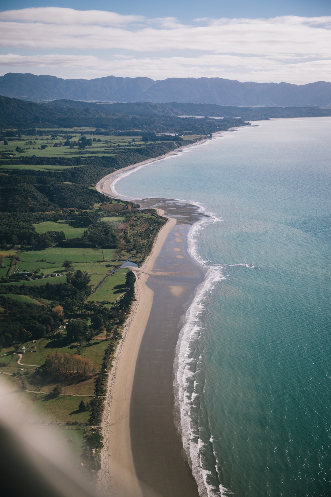
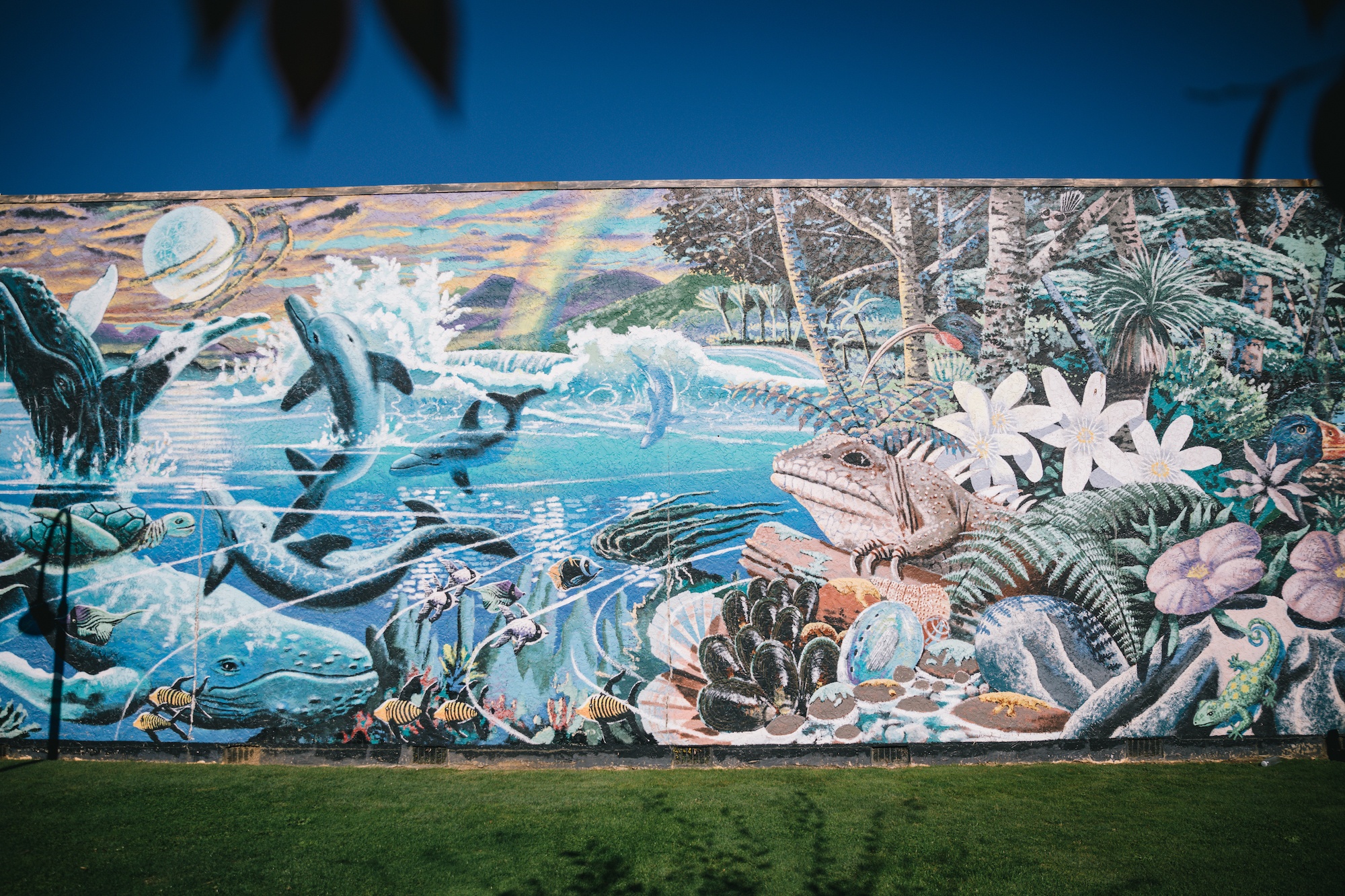
Golden Bay is home to Farewell Spit (Onetahua), a 26-kilometer-long shell and sandspit that creates a natural barrier between the bay and the Tasman Sea. While the spit is a protected nature reserve and a Ramsar site of international importance for migratory birds, it is also known globally as a "whale trap."

The geographical configuration of the spit, characterized by its very gentle slope and extreme tidal range, frequently leads to mass strandings of long-finned pilot whales. In February 2017, the region witnessed one of the largest recorded strandings in New Zealand history, with over 400 whales beaching themselves. Organizations such as Project Jonah, in coordination with the Department of Conservation (DOC), manage these events using a network of trained volunteers.
Scientific theories regarding these strandings point to the whales’ echolocation systems being deceived by the shallow, muddy waters of the bay, which do not reflect sound waves as effectively as deep-water environments. These events have sparked significant academic interest and have driven local conservation efforts toward more robust marine mammal protection strategies.
Geological and Hydrological Landmarks
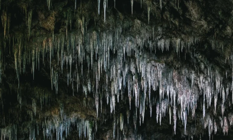
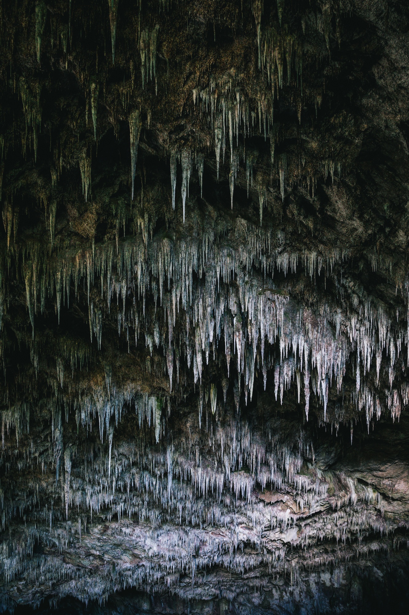
The region’s geology is dominated by karst landscapes, which have created some of the deepest and most extensive cave systems in the Southern Hemisphere. The Kahurangi National Park contains vast networks of marble and limestone, leading to the formation of sites like the Rawhiti Caves. These caves are notable for their impressive stalactite formations, which are shaped by the unique climate and the presence of phytokarst—a process where cyanobacteria influence the growth of the formations toward the light.
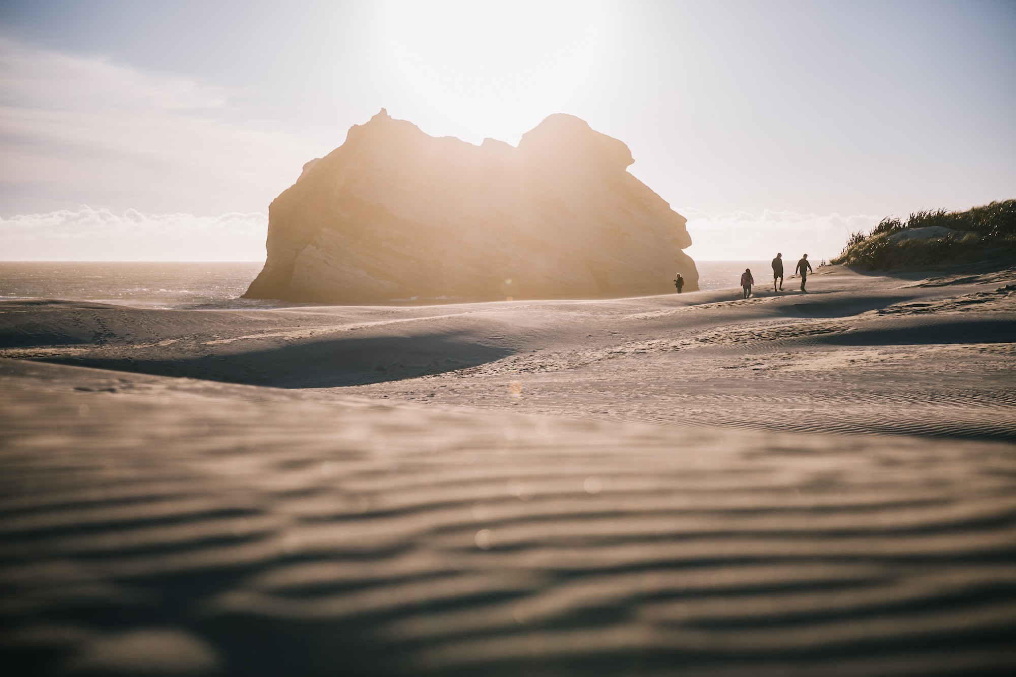
Perhaps the most significant hydrological feature in the region is Te Waikoropupū Springs. These springs are the largest cold-water springs in the Southern Hemisphere and are renowned for the exceptional clarity of their water. Scientific measurements have recorded underwater visibility of up to 81 meters, a figure that rivals the clarity of distilled water.
Cultural and Legal Protections for Te Waikoropupū
Te Waikoropupū Springs hold the status of taonga (treasure) for local Māori, specifically the Ngāti Rārua and Te Ātiawa tribes. In 2023, the New Zealand government issued a Water Conservation Order (WCO) for the springs—the highest level of legal protection available for a body of water in New Zealand. This order recognizes the outstanding spiritual, cultural, and biological values of the springs and imposes strict limits on water takes and nitrogen leaching in the surrounding catchment area. This legal milestone reflects a broader national trend toward integrating indigenous values into environmental law.
The Tourism Economy and "Slow Travel"
The economy of Golden Bay has transitioned from a historical reliance on coal, gold, and timber to a mix of boutique agriculture and eco-tourism. The region has become a flagship for the "slow travel" movement, which emphasizes sustainability and deep engagement with local culture over high-volume, rapid-transit tourism.

Sustainable Accommodation and Local Hospitality
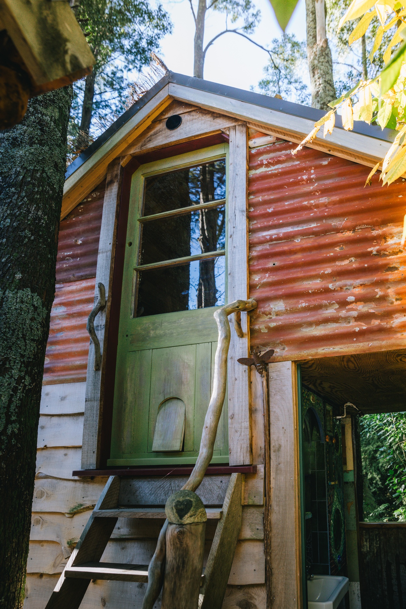
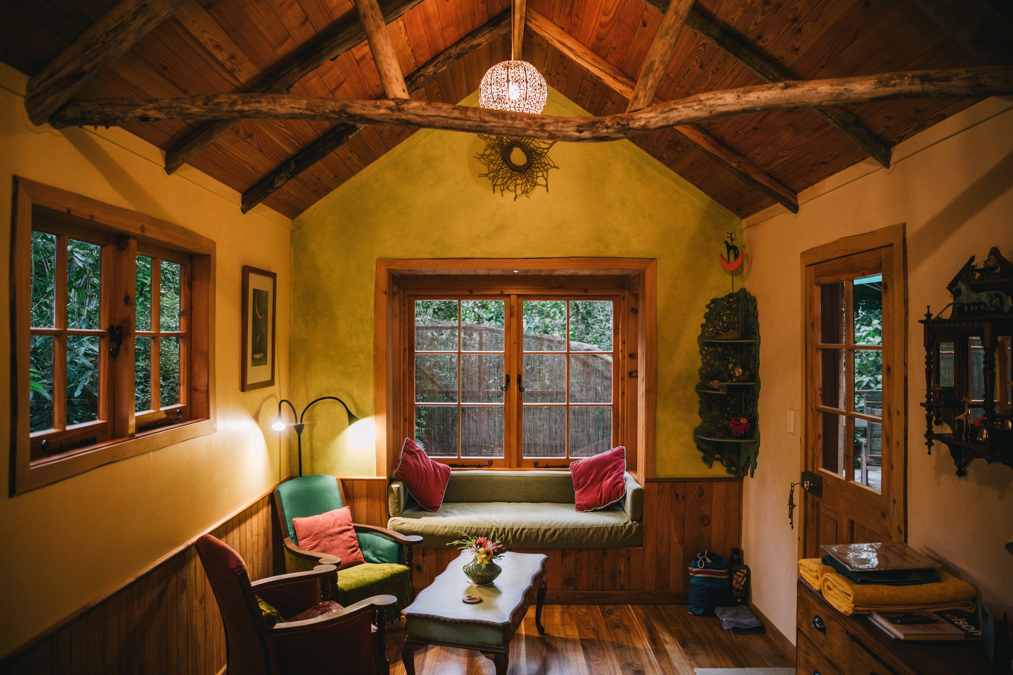
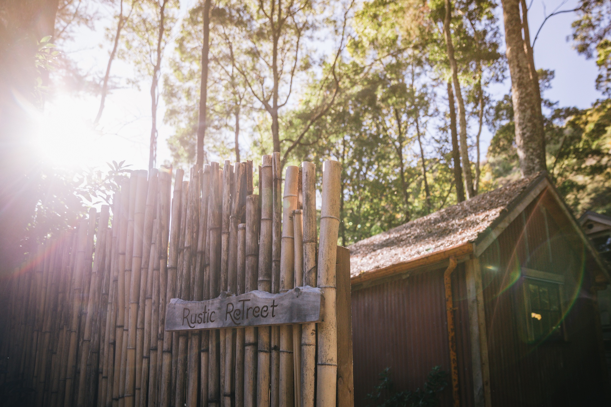
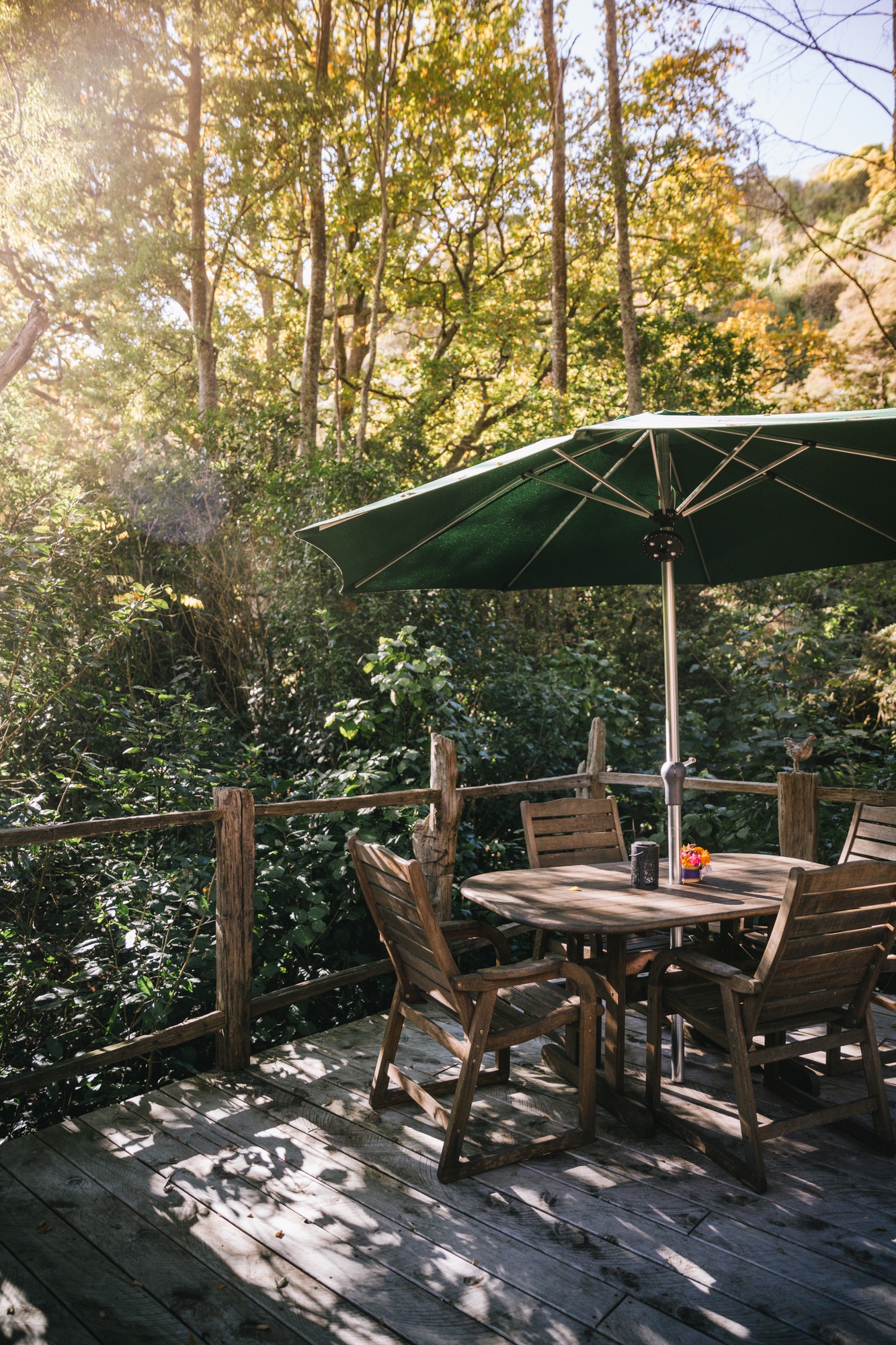
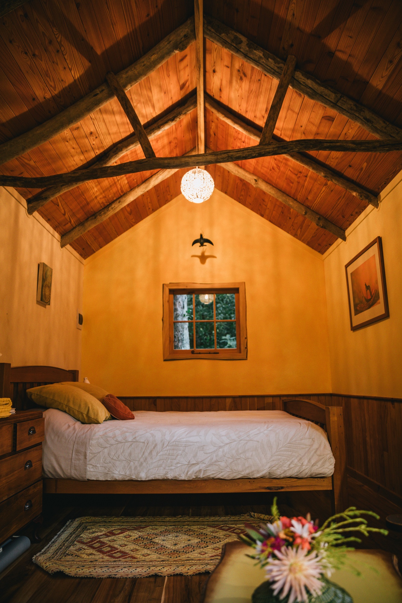
The rise of glamping and eco-retreats, such as the Rustic ReTreet near Takaka, illustrates the region’s shift toward high-value, low-impact tourism. These establishments often utilize repurposed materials and timber milled directly from the land, catering to a demographic that prioritizes environmental consciousness.
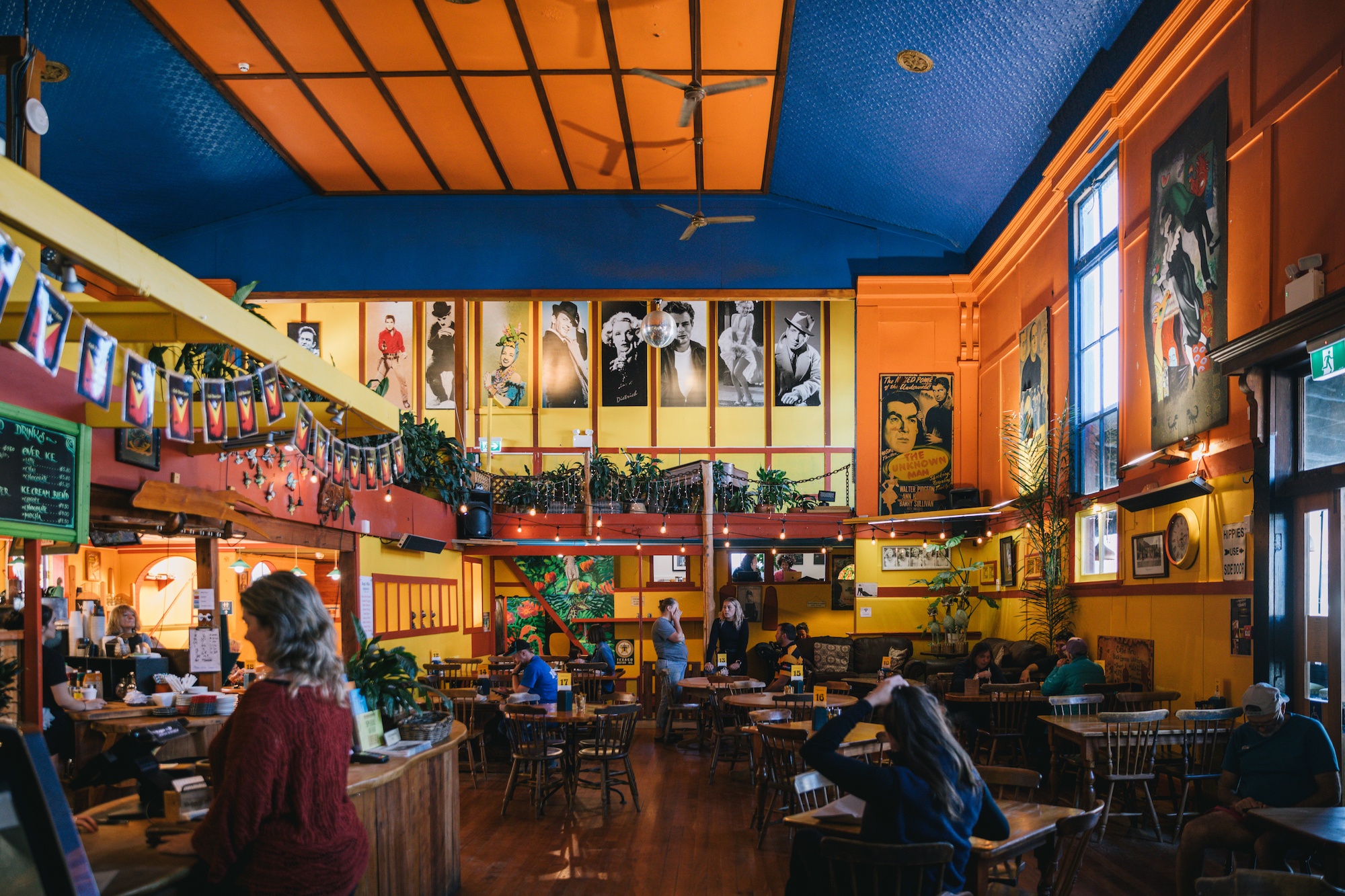
Furthermore, the hospitality sector in Golden Bay is characterized by independent, community-focused establishments. The Mussel Inn, located in Onekaka, is a primary example. Operating as a brewery, restaurant, and music venue, it utilizes local resources—such as green-lipped mussels and locally grown hops—to sustain its operations. This model of "hyper-localism" helps insulate the regional economy from the volatility of global supply chains.
Chronology of Modern Golden Bay
- Pre-European Era: The region is settled by various iwi, with Te Ātiawa and Ngāti Rārua establishing strong presence and guardianship over the springs and coastal resources.
- 1642: Abel Tasman becomes the first European to sight Golden Bay, though a violent encounter with local Māori leads him to name it "Murderers’ Bay."
- 1850s: Gold is discovered in the Aorere Valley, leading to a brief but intense gold rush and the naming of "Golden Bay."
- 1987: The Department of Conservation is formed, taking over the management of the Abel Tasman and Kahurangi National Parks.
- 2017: The massive pilot whale stranding on Farewell Spit draws international attention to the region’s unique ecological risks.
- 2018: Cyclone Gita causes significant damage to Takaka Hill road, beginning a four-year period of restricted access.
- 2023: The Water Conservation Order for Te Waikoropupū Springs is signed into law, ensuring the long-term protection of the aquifer.
Broader Impact and Future Outlook
The future of Golden Bay is inextricably linked to the balance between environmental preservation and economic accessibility. As climate change increases the frequency of extreme weather events, the vulnerability of the Takaka Hill road remains a significant concern for residents and the tourism industry. There are ongoing discussions regarding the diversification of transport, including the potential for expanded sea-link services from Nelson or Mapua.
Environmentally, the region continues to be a laboratory for conservation. The success of the "Mainland Island" projects within the nearby national parks, which focus on intensive predator control to protect native bird species like the Kākā and Whio, provides a blueprint for other remote regions.
In summary, Golden Bay represents a unique intersection of New Zealand’s natural heritage and its rural identity. By maintaining its "time-capsule" charm while adopting modern legal protections for its natural wonders, the region offers a sustainable model for remote living and tourism in the 21st century. Its ability to remain "off the beaten path" is not a failure of development, but rather a deliberate preservation of the qualities that make it a critical asset to New Zealand’s cultural and environmental landscape.