Cyprus: A Comprehensive Guide to Mediterranean Hiking and Geodiversity

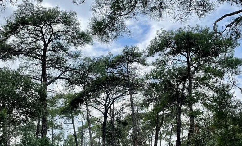
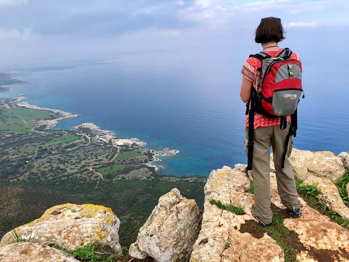
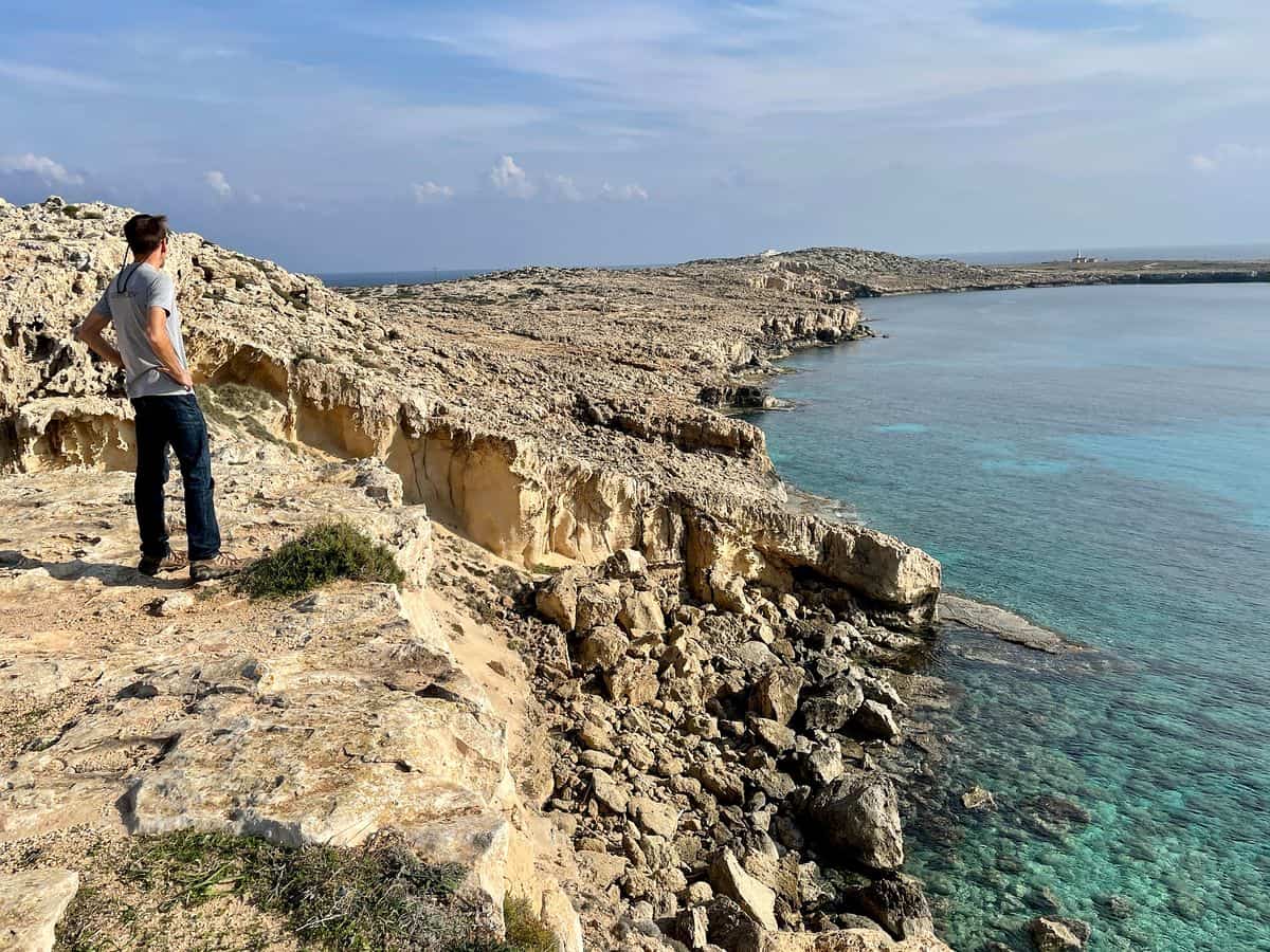
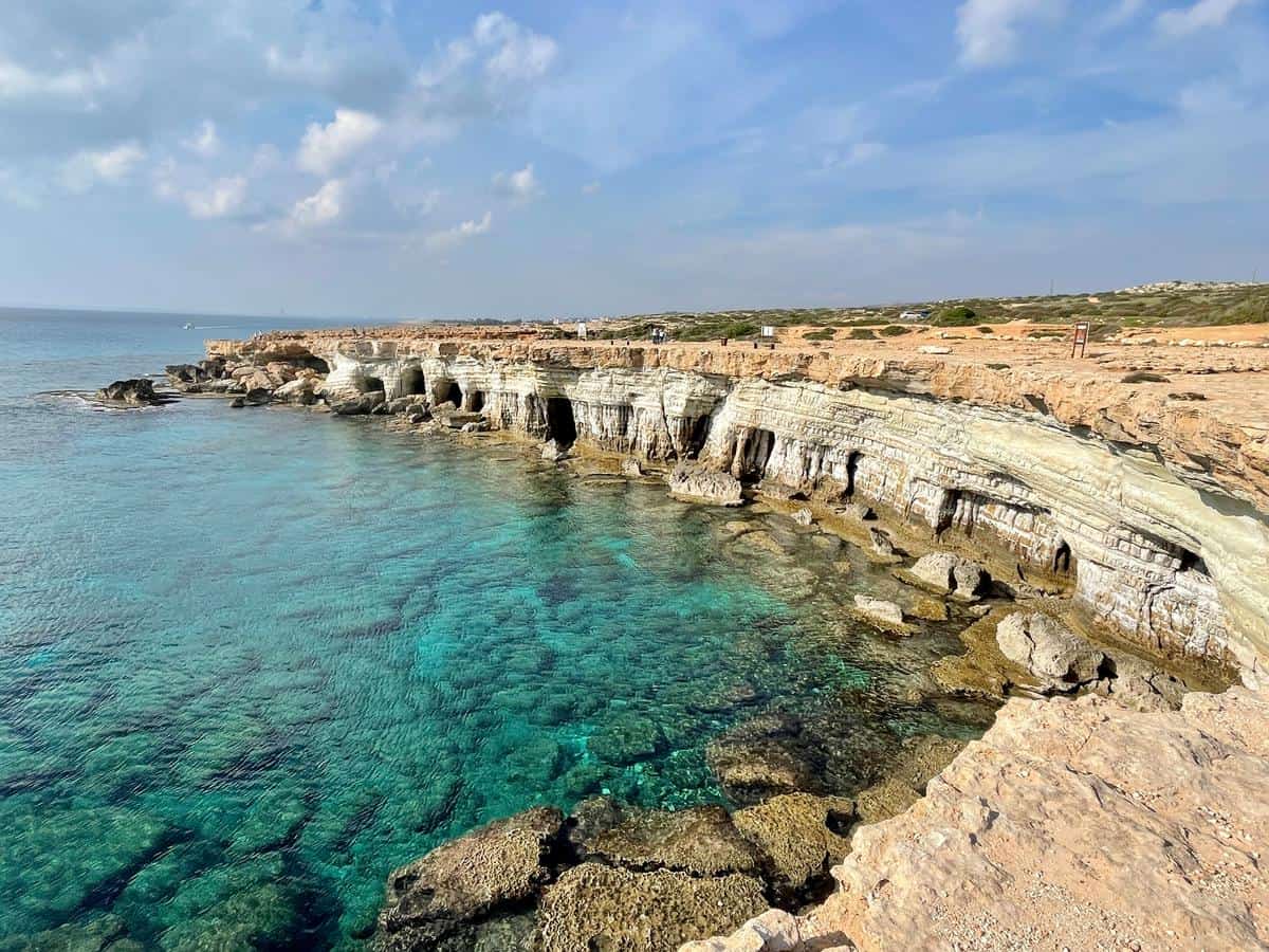
While Cyprus has long been established as a premier Mediterranean destination for beach tourism and resort-based leisure, recent shifts in travel patterns have highlighted the island’s potential as a year-round hub for outdoor activity and geological exploration. The island, which covers an area of approximately 9,251 square kilometers, offers a complex topography ranging from the dramatic limestone cliffs of the Akamas Peninsula to the high-altitude pine forests of the Troodos Mountain range. For the modern traveler, this diversity presents a unique opportunity to engage with the island’s natural heritage beyond the traditional coastal infrastructure.
Geological Context and Biodiversity
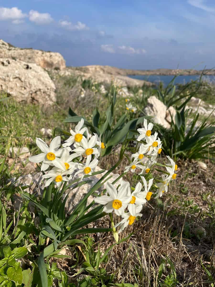
The geological significance of Cyprus is rooted in its position at the intersection of the African and Eurasian tectonic plates. The Troodos Mountains, which dominate the central region of the island, are internationally recognized for the Troodos Ophiolite—a well-preserved sequence of oceanic crust that provides rare insights into the formation of the Earth’s lithosphere. This geological complexity has fostered a high level of biodiversity, with over 1,900 species of flowering plants, many of which are endemic to the island.
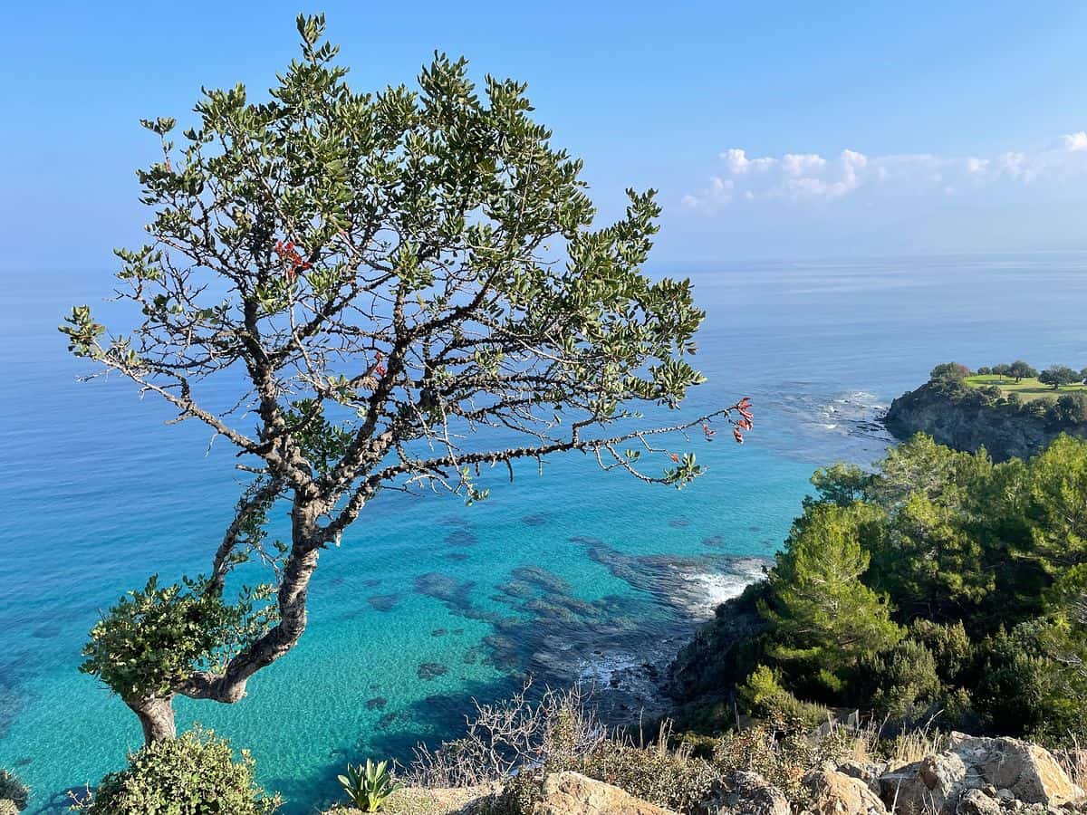
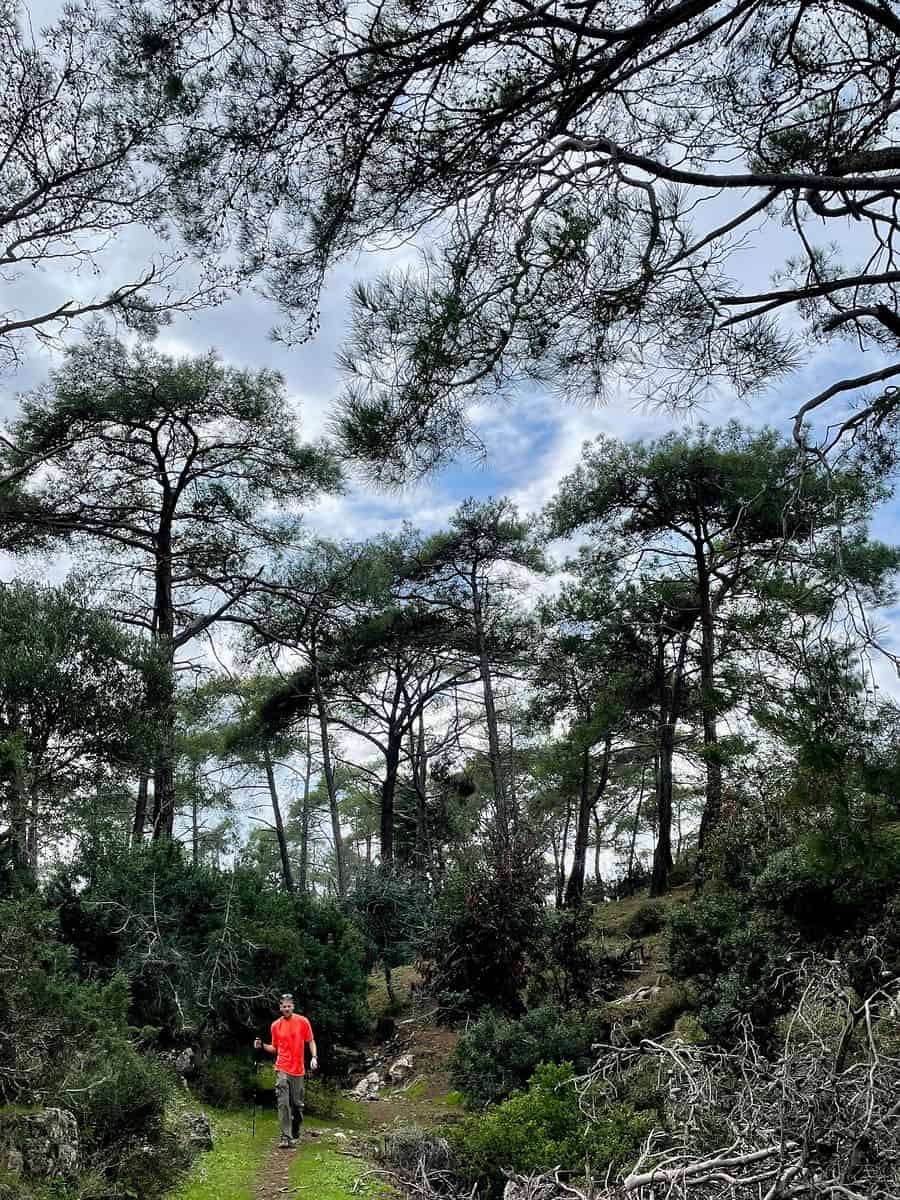
Hiking trails across the island serve as natural laboratories for observing this endemic flora, including the Cyprus cedar and various species of wild orchids. Environmental management bodies have designated several of these areas as protected, emphasizing the need for sustainable tourism practices that minimize the human footprint on these fragile ecosystems.
Chronology of Trail Development and Accessibility
Historically, the Republic of Cyprus maintained a network of forest roads and traditional footpaths. However, the last decade has seen a concerted effort by the Cyprus Tourism Organization and the Department of Forests to formalize, map, and promote these routes for international tourism.
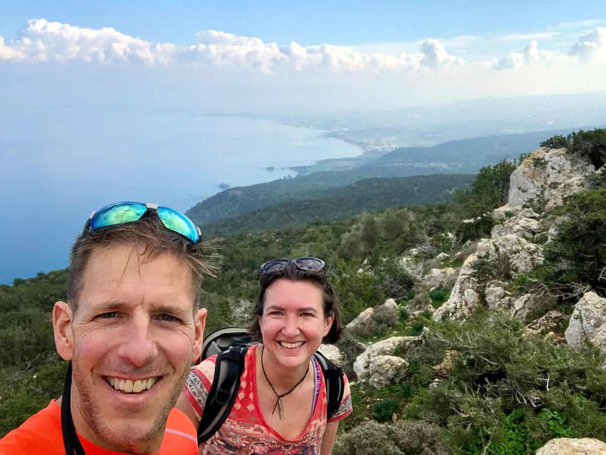
The development of the E4 European Long Distance Path, which traverses the island from the Akamas Peninsula in the west to Cape Greco in the east, has been a central project in this initiative. This 539-kilometer route connects disparate geographical zones, allowing hikers to experience the transition from maritime landscapes to alpine terrain. Strategic infrastructure improvements, including the installation of clear signage, the publication of digital GPS data, and the establishment of trailhead parking, have significantly lowered the barriers for international visitors seeking to integrate active exploration into their itineraries.
Analytical Overview of Primary Hiking Zones
A structured approach to hiking in Cyprus involves categorizing the terrain into three distinct zones: the coastal cliffs, the rural foothills, and the mountain interior.
- The Akamas Peninsula and Aphrodite Loop: This region is defined by its protected status and restricted vehicular access. The trail network here, particularly the loop surrounding the Baths of Aphrodite, provides critical exposure to the island’s coastal geological formations. Data from local environmental departments suggests that the region sees peak foot traffic in the spring, when temperatures are moderate, facilitating longer treks.
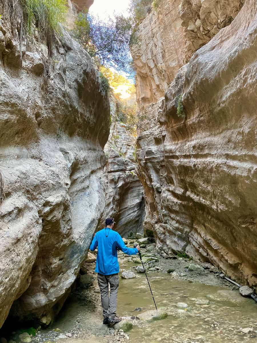
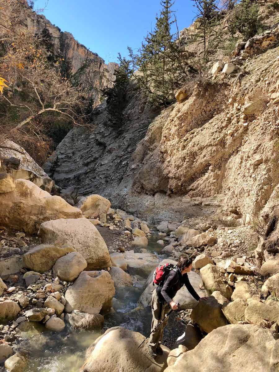
- The Avakas Gorge: Situated within the Akamas region, this limestone canyon represents one of the most challenging, yet topographically significant, hikes on the island. The gorge’s narrow walls, which reach heights of up to 30 meters, present a dynamic environment where water erosion continues to reshape the landscape. Due to the risk of flash flooding during the winter months, local authorities consistently issue safety warnings, reinforcing the necessity for professional guidance or high-level preparation.
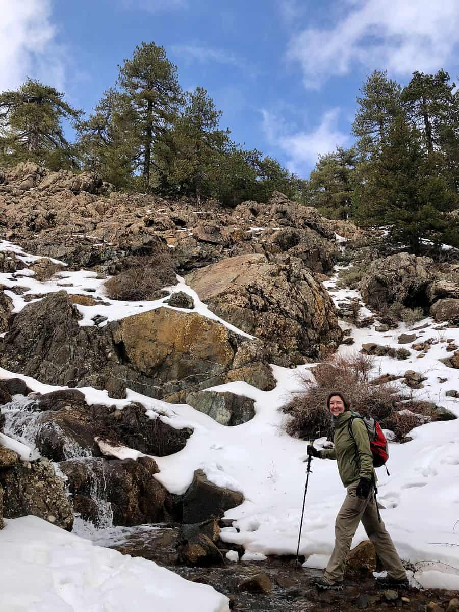
- The Troodos Range: As the highest point in Cyprus, Mount Olympus (1,952 meters) serves as the anchor for the mountain trail system. The Atalante Trail, an 8-kilometer loop, is frequently cited for its ecological value. During the winter months, these trails transition into snow-covered terrain, requiring specialized equipment. This dual-use capability—skiing in winter and hiking in spring—underscores the seasonal versatility of the Troodos region.
Economic and Logistical Implications
The diversification of the tourism product in Cyprus has significant implications for the local economy. By promoting hiking, regional authorities aim to extend the tourism season beyond the traditional summer months (June to September). Official tourism statistics indicate that the "shoulder seasons"—March to May and October to November—are experiencing higher occupancy rates in rural villages and mountain guesthouses.
This shift encourages economic decentralization. Unlike coastal resort towns, which rely on large-scale infrastructure, hiking tourism supports smaller, family-owned businesses in the interior of the island. The proliferation of agritourism and boutique accommodation in villages near the Troodos and the Akamas regions is a direct response to this influx of active travelers.

Regulatory and Safety Protocols
For those planning an excursion, the Department of Forests maintains strict regulations to ensure the preservation of the landscape. These include prohibitions on off-trail travel and the disposal of waste within protected areas. The increasing reliance on digital navigation tools, such as GPX-enabled applications, has proven effective in reducing the number of search-and-rescue operations.

Official statements from the Ministry of Transport and Works have emphasized the importance of road safety for hikers utilizing rental vehicles. Because the majority of trailheads are located in rural areas, the quality of access roads can vary significantly. It is standard advice from local transport officials to utilize four-wheel-drive vehicles when accessing remote trailheads, particularly after periods of precipitation, as unpaved routes can become compromised.
Environmental Impact and Sustainability
The broader implication of this trend is the increased awareness of Cyprus’s environmental fragility. As tourism in the interior grows, the potential for soil erosion and disruption to wildlife habitats increases. To mitigate these risks, the Forestry Department has implemented a series of monitoring protocols along popular routes. These include periodic trail closures for maintenance and the installation of information kiosks that educate visitors on the significance of the local ecosystem.

Environmental advocacy groups, while supportive of the tourism boost, have urged the government to maintain a balance between accessibility and conservation. The discourse suggests that the future of Cypriot hiking lies in "managed access," where trail usage is monitored to ensure that the natural assets driving the industry are not degraded by the very traffic they attract.
Summary for Prospective Visitors
Travelers planning a visit to Cyprus with the intent to hike should prioritize flexibility. The island’s Mediterranean climate is susceptible to rapid fluctuations; even within a single day, one may experience significant temperature differentials between the coast and the mountain peaks.

The most efficient strategy for a one-week itinerary involves basing operations in two distinct locations: one in the Paphos or Polis region for access to the coastal and western trails, and one in the Troodos region for high-altitude trekking. This minimizes travel time and maximizes the time spent on the trails.
Ultimately, Cyprus offers a sophisticated hiking experience that belies its reputation as a purely sun-and-sand destination. The integration of geological, historical, and environmental elements into the island’s trail network provides a comprehensive look at the Mediterranean landscape, making it a robust choice for international hikers seeking both challenge and cultural enrichment. As the Republic of Cyprus continues to invest in these assets, the island is likely to solidify its position as a significant, year-round player in the global outdoor tourism market.