Conquering the Heaphy Track: A Comprehensive Guide to New Zealand’s Longest Great Walk Logistics and Biodiversity

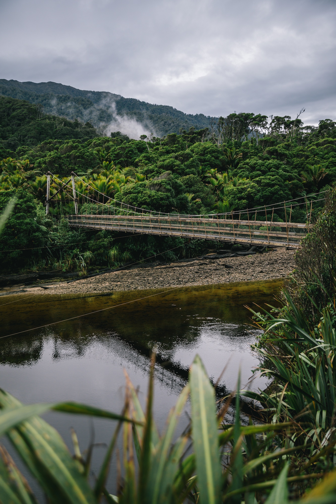
The Department of Conservation’s Heaphy Track has long held a reputation as one of New Zealand’s premier backcountry expeditions, yet its complex geographical logistics have historically presented a formidable barrier to solo hikers. Spanning 84 kilometers across the Kahurangi National Park in the South Island, the Heaphy Track is officially the longest of New Zealand’s ten designated Great Walks, excluding river-canoeing routes such as the Whanganui Journey. While the trail’s infrastructure meets the elevated standards of the Great Walks network—featuring well-maintained pathways, large serviced huts, and extensive waste management facilities—its trailhead and terminus are separated by a grueling seven-hour driving distance.
For independent travelers, navigating this logistical challenge typically involves either enduring a 450-kilometer return journey to relocate a vehicle, paying upward of NZD $500 for professional car relocation services, or relying on coordinated public transport networks. However, regional transport providers such as Golden Bay Air have increasingly streamlined these operations, offering specialized flight connections and shuttle services between Takaka and Karamea. These integrated logistics solutions bridge the vast geographical divide, transforming what was once a prohibitive administrative hurdle into an accessible itinerary for domestic and international ecotourists alike.
Geographical Overview and Trail Characteristics
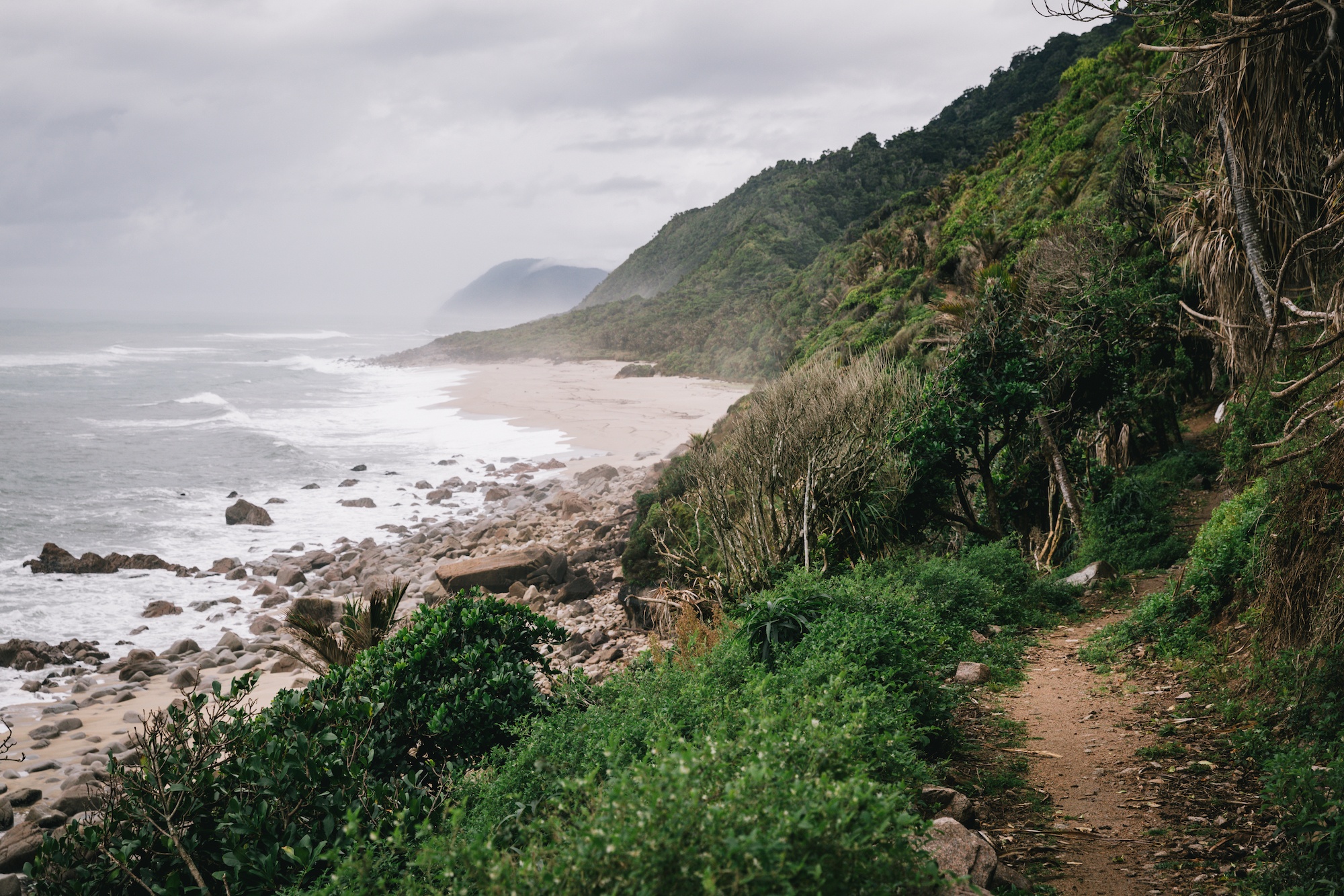
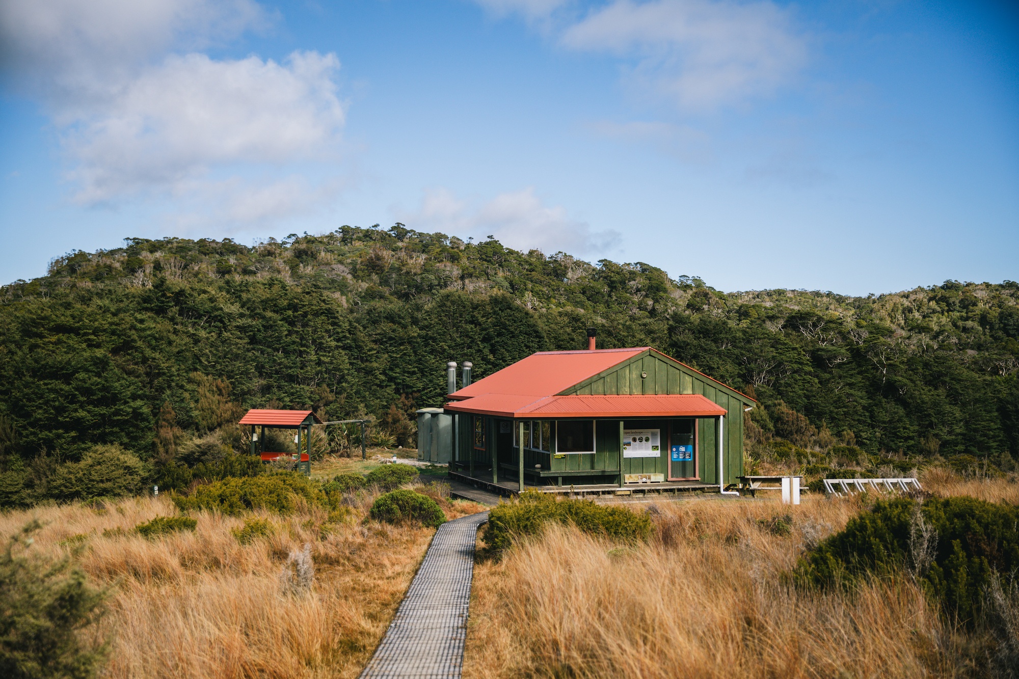
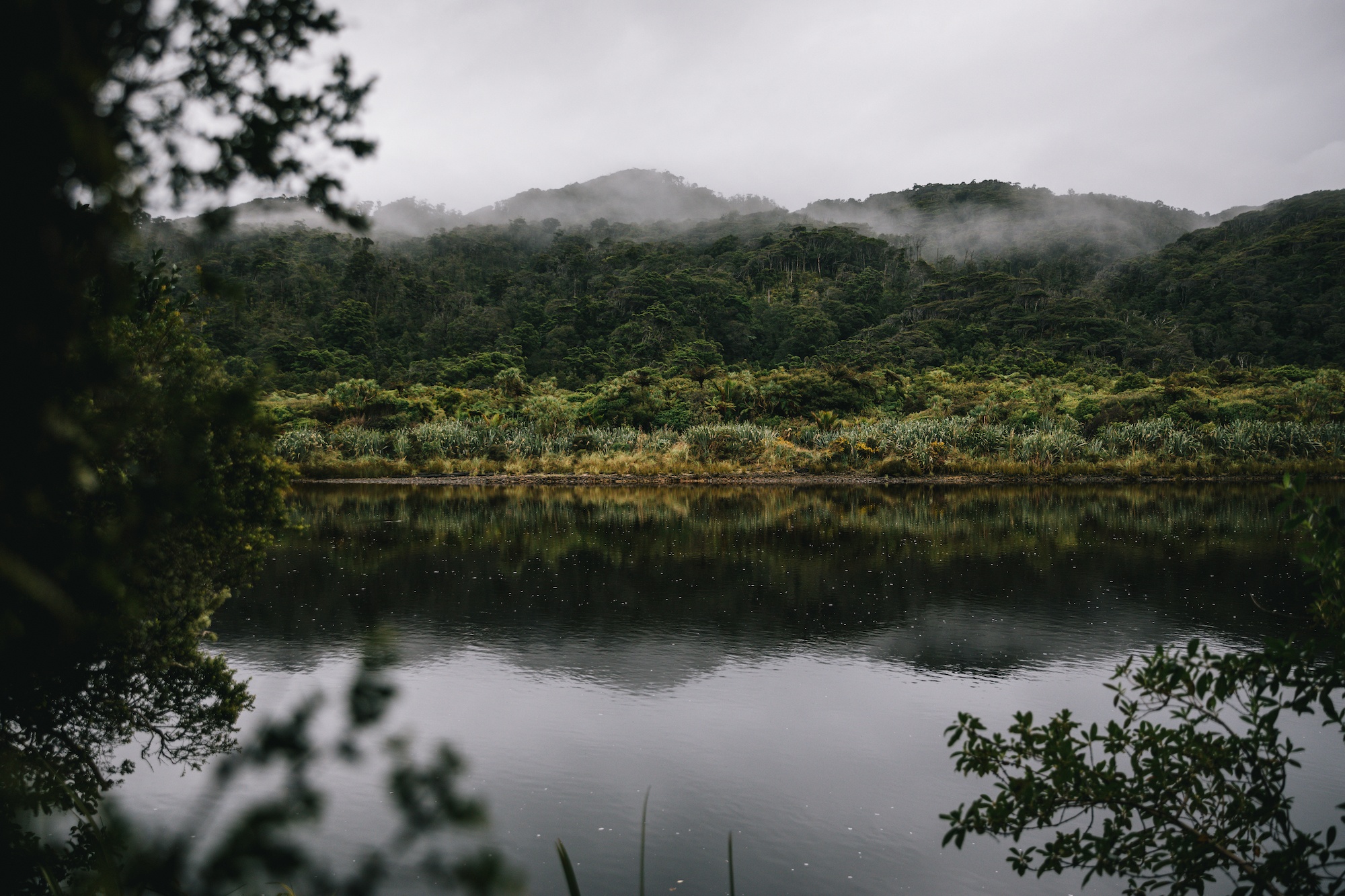
Situated entirely within the protected boundaries of Kahurangi National Park, the Heaphy Track offers a diverse traversing experience that contrasts sharply with the glaciated, alpine environments found on other South Island routes, such as the Milford or Routeburn tracks. The trail can be undertaken in either direction, beginning either from the Brown Hut trailhead near Takaka in Golden Bay or from the Kohaihai Shelter near Karamea on the West Coast.
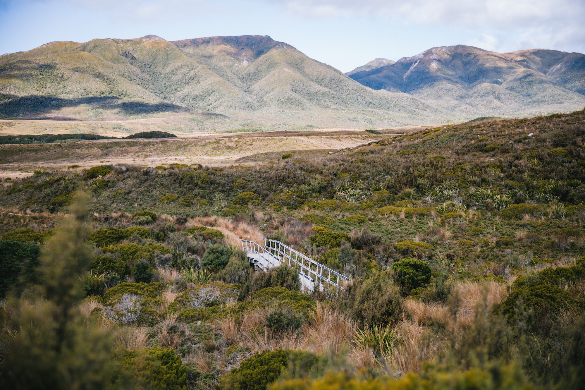
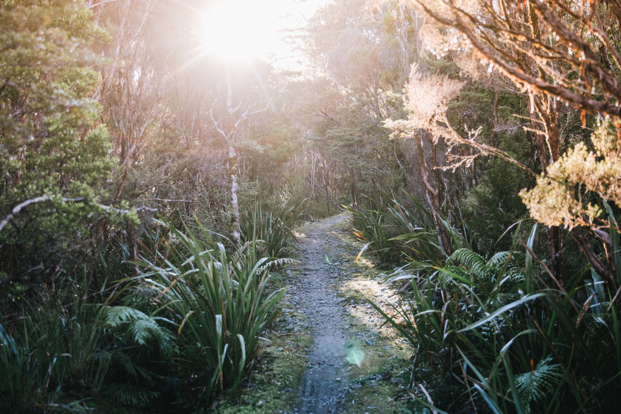
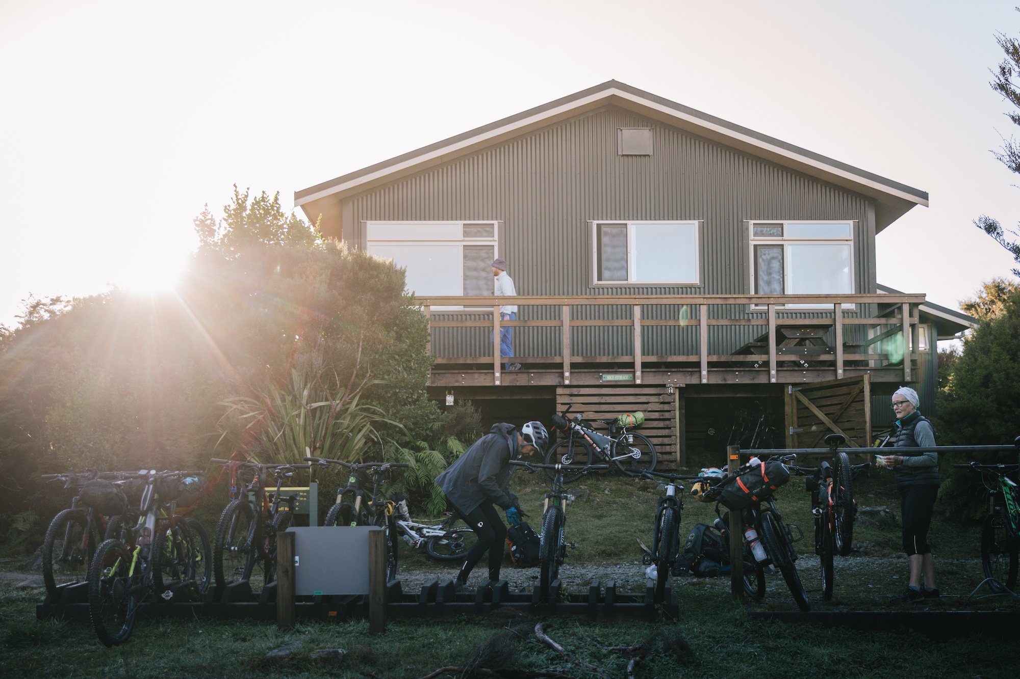
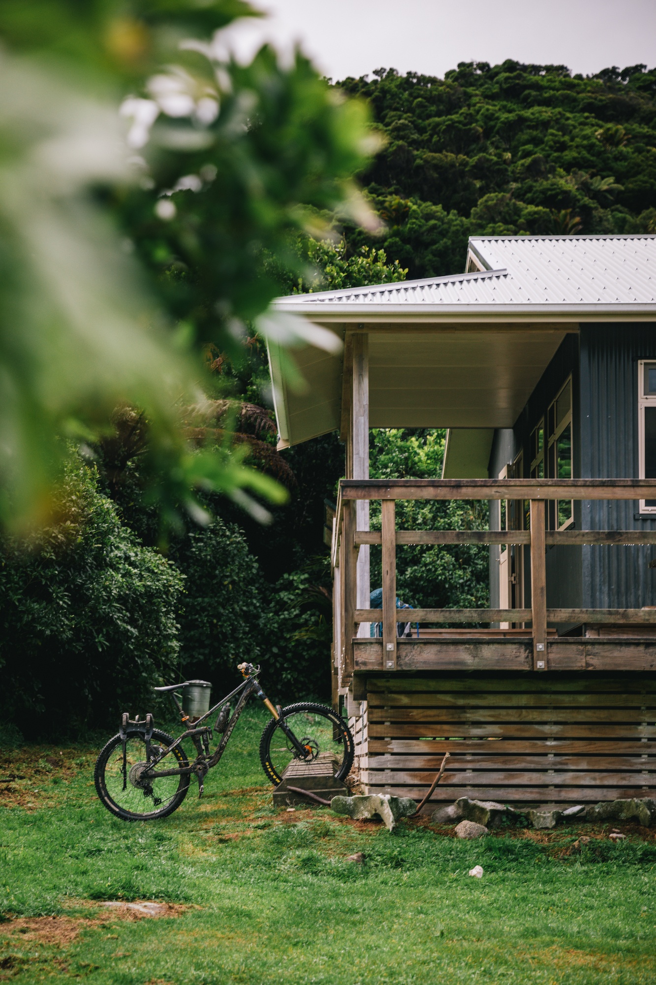
From an engineering and terrain perspective, the track is classified as a multi-day walking and mountain biking route, remaining open to cyclists annually from May 1st through November 30th to minimize user conflicts during peak summer hiking periods. Spanning four to six days on average, hikers negotiate daily segments ranging from 16 to 25 kilometers. Despite the route reaching a maximum elevation of approximately 1,000 meters above sea level at the Gouland Downs, the ascent is engineered through gradual switchbacks and well-graded pathways. This design avoids the severe vertical scrambles, tree-root navigation, and hazardous boulder fields characteristic of standard New Zealand backcountry routes.
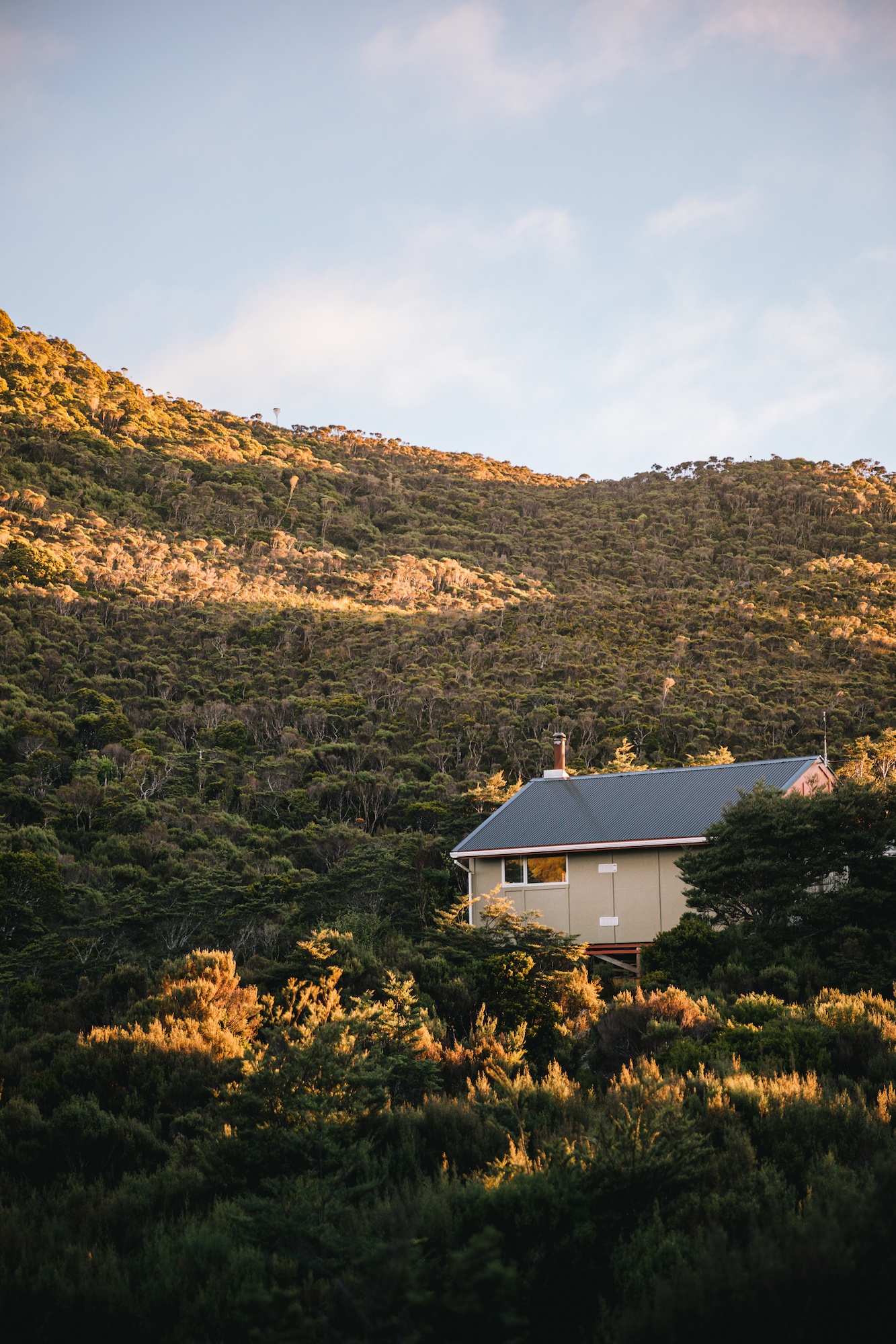
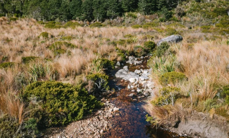
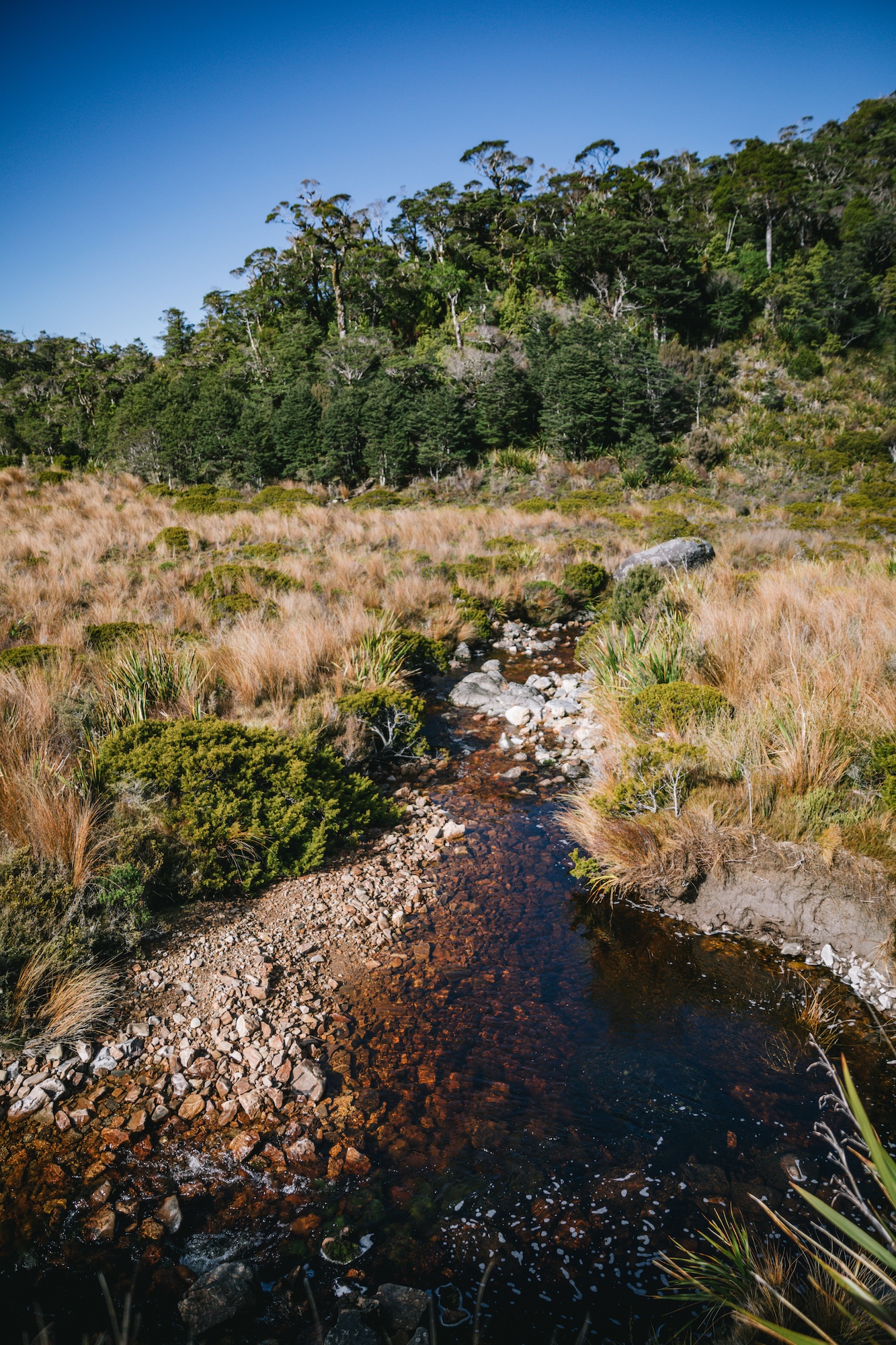
Furthermore, the track’s infrastructure accommodates multi-use demands, meaning the trail surface is consistently wide and free of steep staircases, save for approaches to suspension bridges. Water sources along the route are reliably accessible, though naturally stained brown by organic tannins leaching from surrounding vegetation, a harmless characteristic that meets safety standards for backcountry consumption without requiring chemical purification.
Logistical Integration and Regional Transport Solutions

The fundamental deterrent for independent trampers evaluating the Heaphy Track has consistently centered on the stark separation of access points. The driving distance between the Kohaihai terminus in Karamea and the Brown Hut start in Takaka requires navigating rugged provincial highways that circle the northern coast of the South Island. For travelers based in southern tourism hubs such as Wanaka or Queenstown, the journey to the West Coast trailhead demands a commitment of up to ten hours of continuous driving.
To mitigate these logistical barriers, regional aviation operators have developed multimodal transport packages. These services coordinate passenger flights across the Kahurangi massif, connecting small regional airstrips in Takaka and Karamea. These flights bypass the extensive road detour, reducing transit times significantly and allowing solo travelers to leave personal vehicles securely parked at the designated entry or exit point. Because these local airstrips function primarily as boutique operational bases rather than commercial hubs, administrative processing times are minimized, facilitating seamless transitions between airborne transit and ground trekking.
Conservation Successes and Avian Biodiversity
Beyond its physical accessibility, the Heaphy Track is widely recognized by ecologists and ornithologists as a premier showcase of New Zealand’s native biodiversity recovery. The Department of Conservation, in collaboration with regional trusts, maintains intensive predator-control grids throughout Kahurangi National Park to suppress populations of introduced mammalian pests, including stoats, possums, and rats. These sustained eradication and trapping efforts have yielded measurable improvements in native bird populations along the corridor.

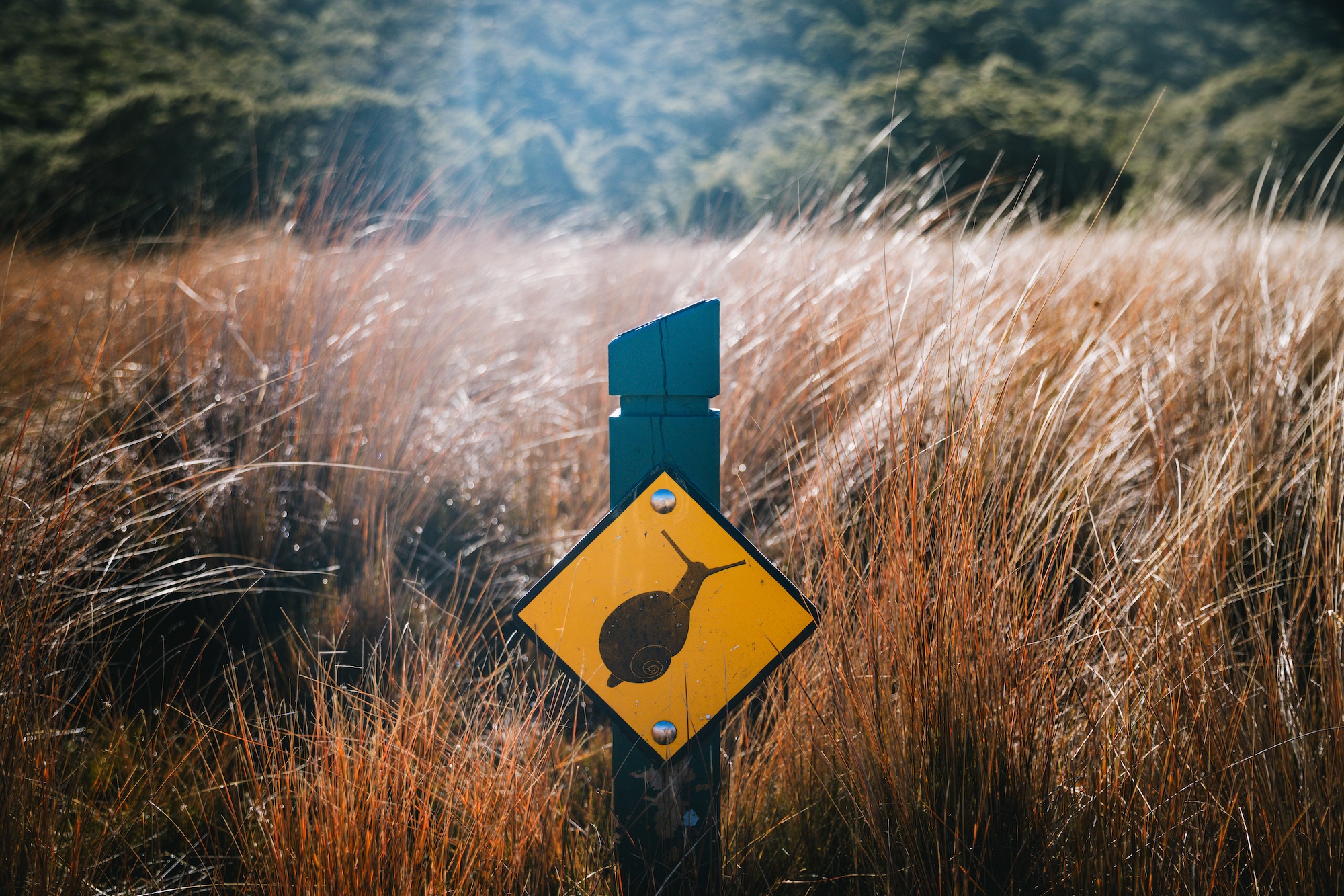
Walkers frequently encounter a diverse assemblage of endemic avifauna, including the great spotted kiwi (roroa), tui, bellbirds, fernbirds, whio (blue ducks), weka, kereru, South Island robins, and riflemen. Additionally, the damp coastal zones and limestone formations of the park serve as the primary habitat for the genus Powelliphanta, comprising some of the world’s largest carnivorous land snails. These protected mollusks represent a critical indicator species for the ecological health of the forest floor, though their cryptic coloration and nocturnal habits make live sightings rare for passing visitors.

The Milestone Reintroduction of the Takahē
The ecological significance of the Kahurangi National Park was profoundly elevated in 2018 with the historic release of a wild population of takahē (Porphyrio hochstetterii). Once presumed extinct for half a century until their rediscovery by Dr. Geoffrey Orbell in the Murchison Mountains of Fiordland in 1948, the flightless, indigo-blue rail remains one of the world’s most endangered avian species.
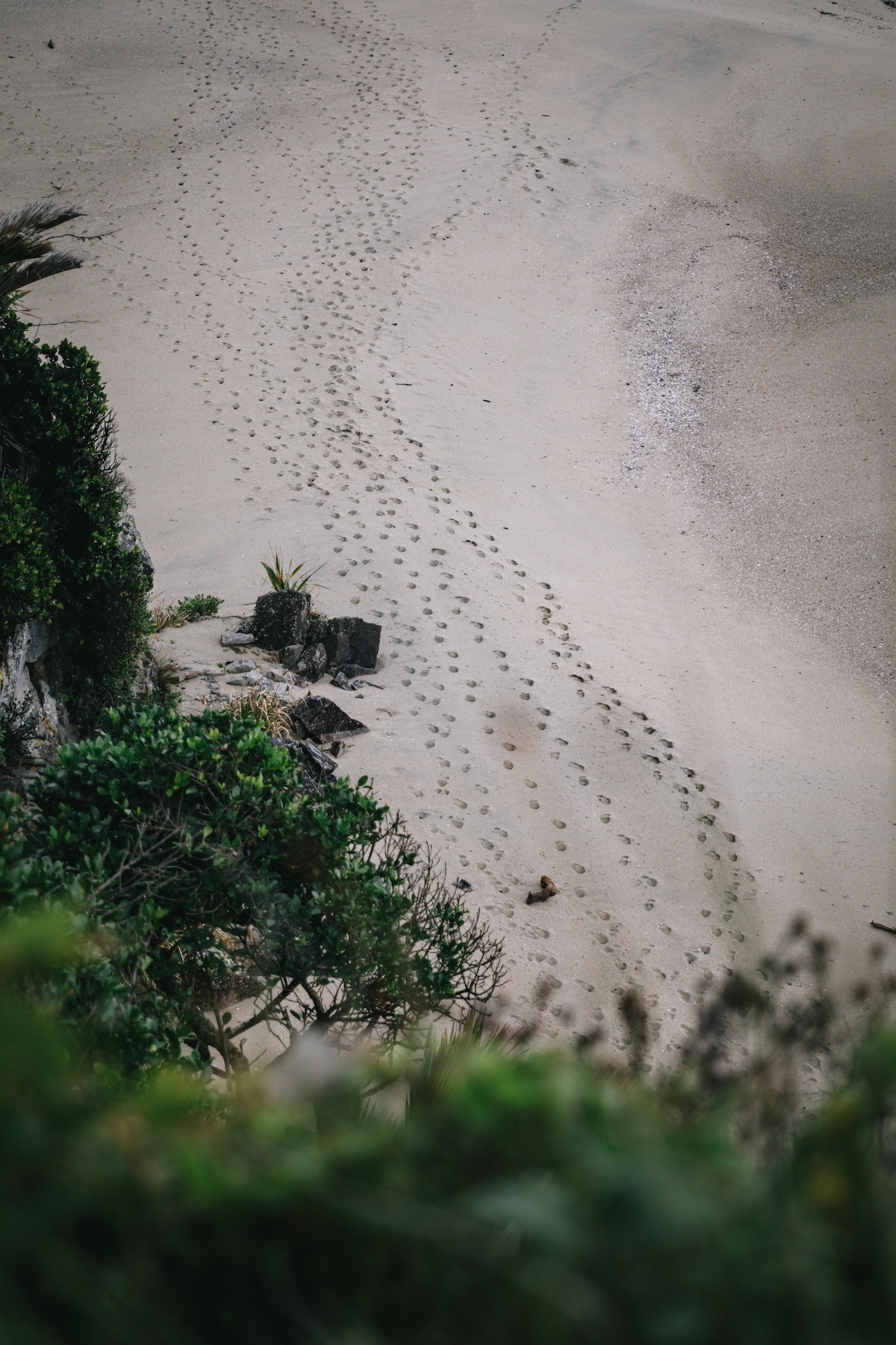
The 2018 translocation into Kahurangi National Park marked only the second wild-established population of takahē in New Zealand, representing a critical decentralization strategy to safeguard the species against localized disease outbreaks or catastrophic environmental events. Historical vulnerabilities were starkly underscored in 2007, when an irruption of stoats in the Murchison Mountains decimated half of the primary wild population. Consequently, the ongoing survival of the Kahurangi flock relies entirely on continuous, intensive mustelid trapping networks managed by conservation rangers. While sightings of the elusive birds require a degree of fortune, their presence—evidenced by distinctive foraging sign and sizeable droppings—underscores the long-term success of New Zealand’s national species recovery framework.
Safety Protocols and Risk Mitigation in Backcountry Environments
Despite the high standard of trail maintenance and the availability of serviced Department of Conservation huts equipped with bunks, heating, and gas facilities, the Heaphy Track remains a backcountry environment subject to rapid meteorological shifts. Heavy rainfall events frequently induce localized flooding and temporary bridge closures, occasionally stranding trampers at intermediate huts or emergency shelters.
In response to these inherent environmental risks, mountain safety authorities strongly advise all outdoor recreationists to carry comprehensive emergency equipment, including surplus rations and a registered Personal Locator Beacon (PLB). These devices transmit precise distress coordinates via satellite to rescue coordination centers in the event of life-threatening injuries or prolonged isolation. Search and Rescue agencies consistently emphasize that preventative preparation and proactive communication significantly reduce the operational complexities and hazards associated with remote wilderness extractions. Through a combination of robust infrastructure, coordinated logistical support, and dedicated ecological restoration, the Heaphy Track continues to set a benchmark for sustainable wilderness tourism in the Southern Hemisphere.