Beyond the Beach: A Comprehensive Guide to the Rising Popularity of Hiking in Cyprus

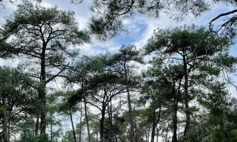
While Cyprus has long been established as a primary Mediterranean destination for sun-seekers and resort-goers, recent travel data indicates a significant shift in tourist behavior toward active, nature-based excursions. The island, which sits at the crossroads of Europe, Asia, and Africa, is increasingly recognized for its geological diversity and expansive trail networks. For travelers seeking an alternative to the crowded coastal resorts, the interior of the country—anchored by the Troodos Mountains and protected national parks—offers a robust infrastructure for hiking that spans from sea-level coastal paths to high-altitude pine forests.
Historical Context and Geological Significance
The geological formation of Cyprus is a subject of significant interest for geologists, most notably the Troodos Ophiolite, a section of the Earth’s oceanic crust that has been uplifted above sea level. This unique formation provides a landscape unlike any other in the Mediterranean, characterized by mineral-rich soils and deep, dramatic gorges like the Avakas Gorge. Historically, these rugged terrains were utilized for centuries by local shepherds and monks, leaving behind a legacy of ancient paths that are now being integrated into the island’s modern trail network.
The current revitalization of these trails is supported by the Cyprus Tourism Organization, which has focused on promoting sustainable, low-impact tourism. By diverting visitor traffic away from the coastal hubs and into the interior, the government aims to mitigate the environmental pressures of mass tourism while supporting the rural economies of mountain villages.
Chronology of Trail Development and Access
The development of official hiking infrastructure in the Republic of Cyprus has accelerated over the last decade. Systematic efforts to map and maintain trails were bolstered by the introduction of digital navigational tools. In the early 2010s, the Cyprus Forestry Department began formalizing trail markings, though the remote nature of areas like the Akamas Peninsula necessitated the adoption of GPS-based navigation for safety.
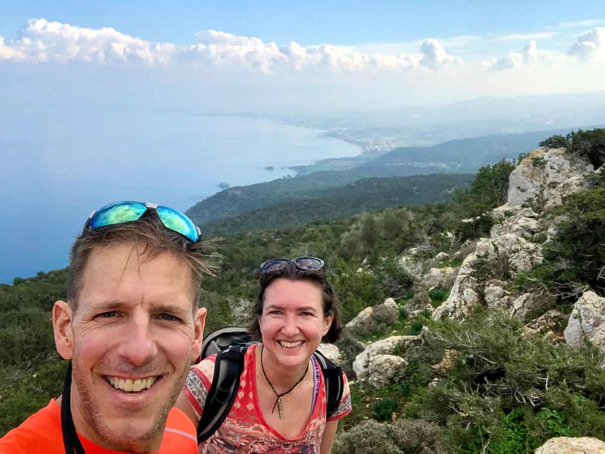
In recent years, the integration of mobile applications—such as Komoot and AllTrails—has bridged the gap for international travelers. While official signage remains present, the reliance on digital mapping has become standard protocol for navigating the more complex, unmaintained stretches of the island’s trail network, particularly during the winter months when seasonal weather can alter path conditions.
Key Regional Hiking Destinations
The island’s hiking geography can be categorized into four primary zones: the Akamas Peninsula, the Troodos Massif, the Cape Greco region, and the coastal fringes of Paphos.
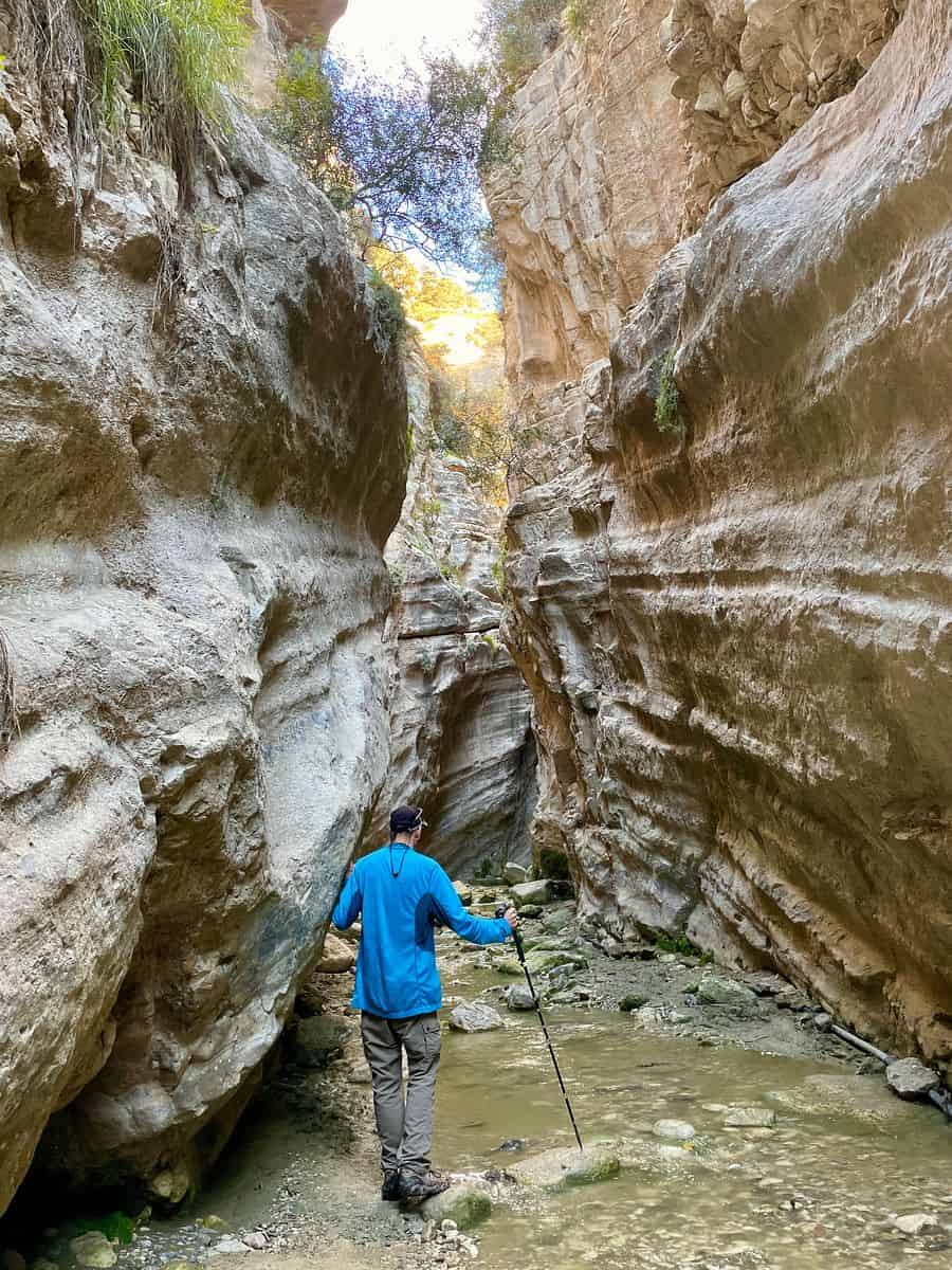
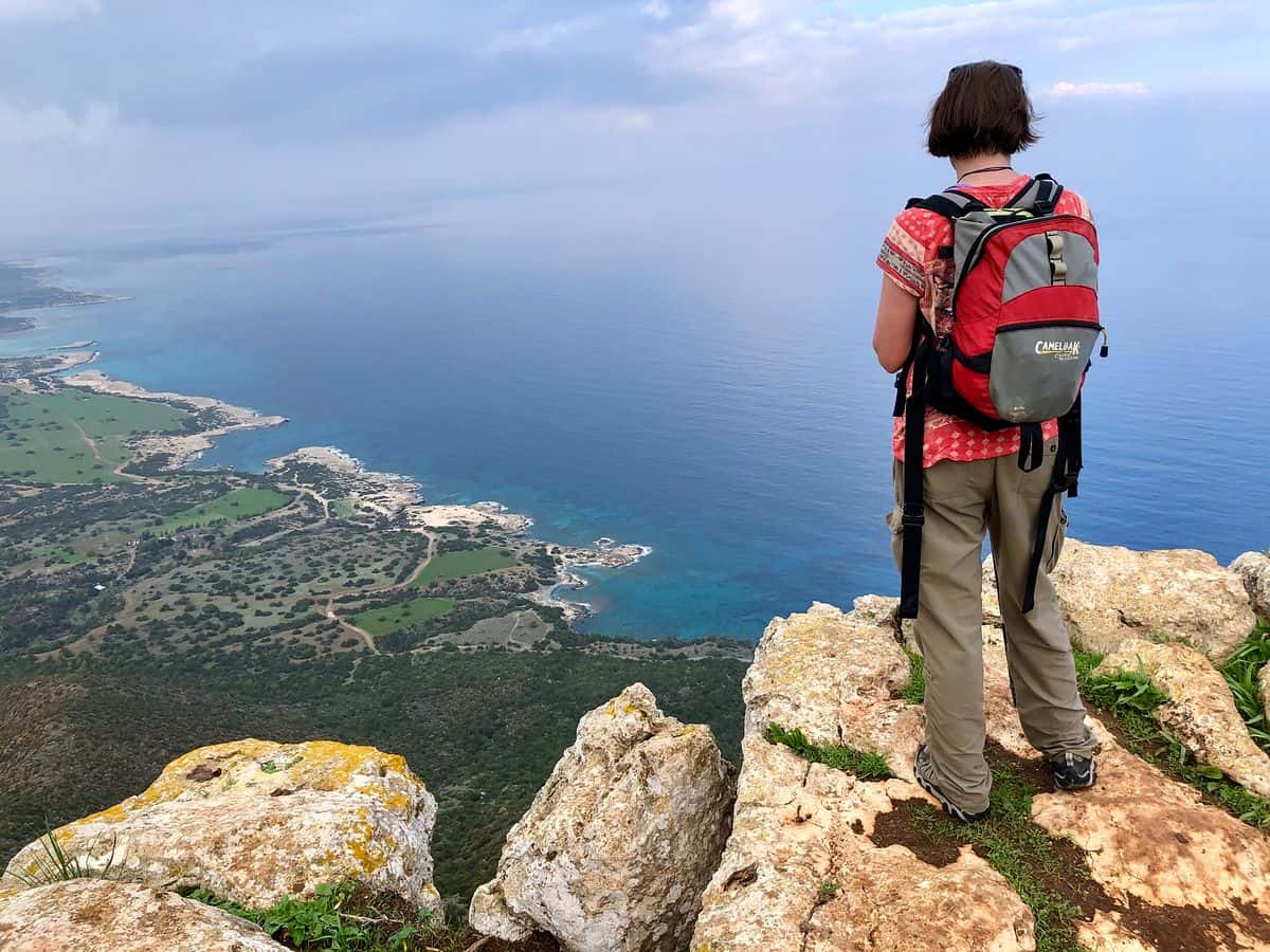
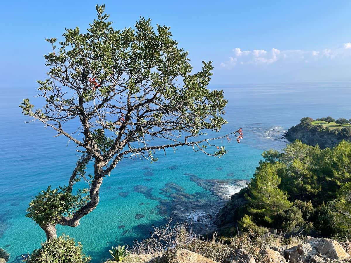
The Aphrodite Loop remains the flagship trail of the Akamas Peninsula. Stretching approximately 7.5 kilometers, it offers a distinct advantage for those looking to traverse varying biomes, from botanical grottoes at the Baths of Aphrodite to the high-elevation cliffs that overlook the Cape Arnoutis coastline. Experts advise a clockwise traversal to maximize natural light and ensure better visibility of the coastal topography during the initial, more strenuous ascent.
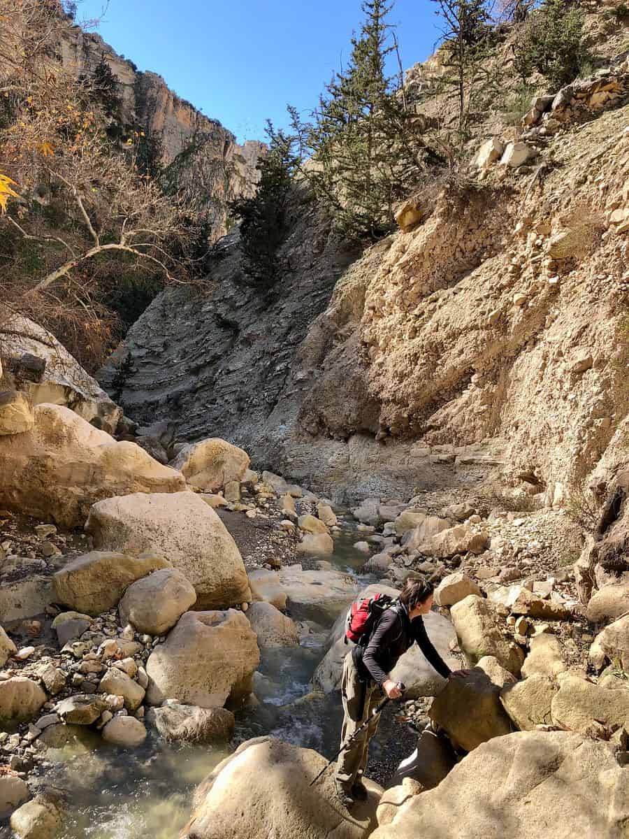
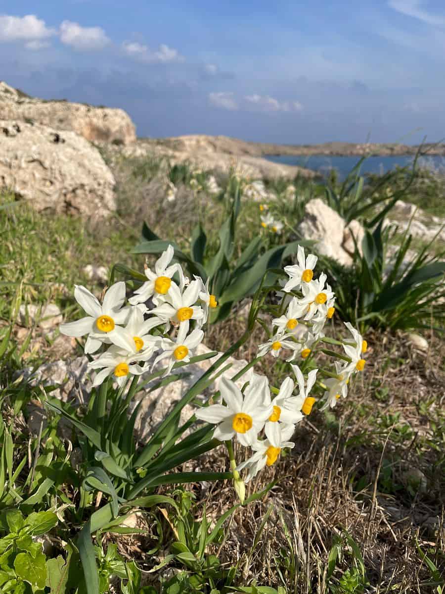
In contrast, the Avakas Gorge provides a more physically demanding experience. This canyon, carved by the waters of the Peyia State Forest, presents a narrow, limestone passage that becomes increasingly technical. The first kilometer is accessible to casual walkers, but the deeper sections require basic scrambling skills and, during the winter rainy season, caution against flash flooding. Local authorities have noted that the gorge’s microclimate allows for a unique concentration of endemic flora, which has led to calls for increased environmental protection measures in the area.

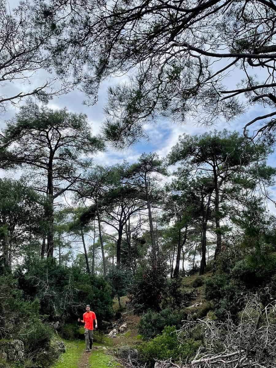
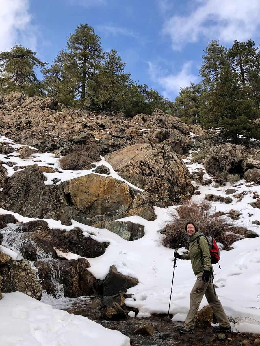
The Troodos Mountains serve as the geographical heart of the island, with Mount Olympus reaching an elevation of 1,952 meters. The Atalante Trail, an 8-kilometer loop, is the premier route for high-altitude hiking. It is essential to note that this region experiences distinct seasonal variations, including significant snowfall between December and March. The presence of formal ski infrastructure in the Troodos area highlights the island’s climatic paradox, where one can feasibly engage in alpine hiking in the morning and coastal excursions by late afternoon.

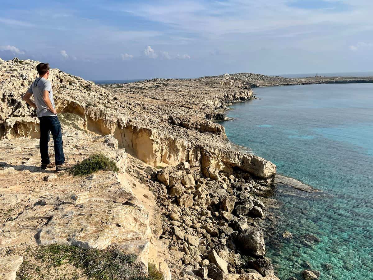
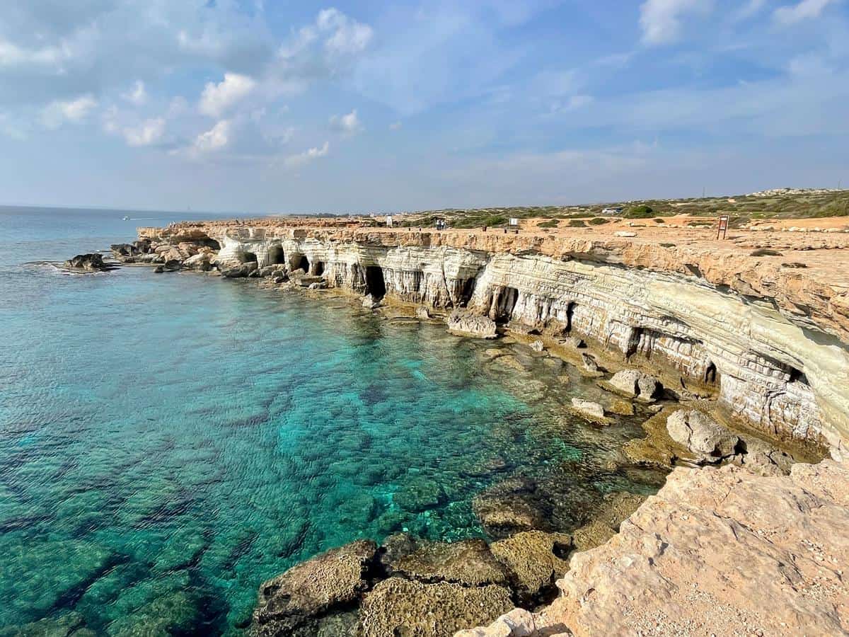
The Cape Greco National Forest Park offers a different aesthetic. Located on the eastern coast near Ayia Napa, the area is defined by sea caves and dramatic sandstone cliffs. The trail from the sea caves to Konnos Beach serves as a critical link for hikers interested in maritime geology. This route is considered lower intensity compared to the Troodos or Akamas trails, making it the most suitable option for high-volume tourism management.
Supporting Data and Seasonal Considerations
Climate data for the region indicates that the optimal window for hiking is between March and May, or late October through November. During these months, temperatures remain moderate, typically ranging from 15°C to 25°C. Summer months (June to September) present a heightened risk of heat-related illness due to temperatures frequently exceeding 35°C.

Official safety guidelines from the Cyprus Civil Defense emphasize that hikers must carry a minimum of three liters of water during summer excursions and avoid exposed, sun-drenched trails during peak midday hours. The lack of natural shade in coastal areas like Cape Greco significantly increases the risk of dehydration, a factor that accounts for the majority of emergency services calls related to tourism.
Broader Impact and Economic Implications
The pivot toward "active tourism" has profound implications for the local economy. Statistics from local tourism boards suggest that hikers tend to spend more time and money in rural, mountainous villages—such as those surrounding the Troodos range—than their counterparts at coastal resorts. This economic dispersion helps to sustain traditional artisan practices and locally-owned guesthouses, which are often overlooked in favor of large-scale hotel chains.

Furthermore, the environmental impact of this shift is being monitored by local NGOs. The fragile nature of the endemic flora in the Akamas Peninsula has led to ongoing debates regarding the construction of new roads versus the preservation of existing dirt paths. The consensus among environmental groups is that continued, controlled access via established hiking trails is the most viable method for ensuring the preservation of the island’s biodiversity while satisfying the demands of the modern, environmentally conscious traveler.
Safety and Logistical Realities
For international visitors, the primary logistical hurdle remains the transport network. While public buses service the major hubs, the most efficient way to access trailheads remains the rental of a private vehicle. Driving in Cyprus, which follows the British convention of left-hand traffic, requires a period of adjustment for many international travelers. Additionally, travelers should be aware that while main roads are well-maintained, access roads to remote trailheads in the Akamas region may be unpaved and subject to erosion, often requiring vehicles with higher ground clearance.

In summary, the transition of Cyprus from a monolithic "sun and sand" destination to a multifaceted outdoor hub is a response to evolving global travel trends. The island’s ability to offer a diverse range of environments—from the snow-dusted peaks of the Troodos to the limestone sea caves of the eastern coast—provides a compelling argument for its inclusion in the international hiking circuit. By balancing accessibility with infrastructure improvements and environmental stewardship, Cyprus is well-positioned to secure a sustainable future for its tourism sector, provided that visitors remain mindful of the unique, often fragile, landscapes they are traversing.