Exploring New Zealand’s Golden Bay: A Journey from the Heaphy Track to Takaka and Beyond


The northernmost tip of New Zealand’s South Island houses a region that quietly defies the brisk alpine climates found further south: Golden Bay. Anchored by the arts-centric township of Takaka and stretching from the edge of Abel Tasman National Park to the 26-kilometer expanse of Farewell Spit, the area offers a distinct geographic and cultural profile. Recent travel itineraries highlighting the region emphasize its relative isolation, agricultural independence, and unique ecological and geological features, providing a stark contrast to more heavily commercialized southern tourist hubs like Wānaka and Queenstown.
Logistics and Regional Accessibility
Reaching Golden Bay has historically presented a logistical challenge due to the region’s topography. The primary vehicular route requires navigating Takaka Hill, a winding mountain pass connecting Motueka to Takaka. Known officially as State Highway 60, the route features numerous sharp hairpin turns and steep descents, flanked by pastoral landscapes and limestone karst formations.
In recent years, infrastructure challenges have further underscored the area’s isolation. A major storm event caused significant road damage, resulting in a multi-year period of single-lane traffic controlled by signals—a project that drew local commentary regarding bureaucratic timelines.
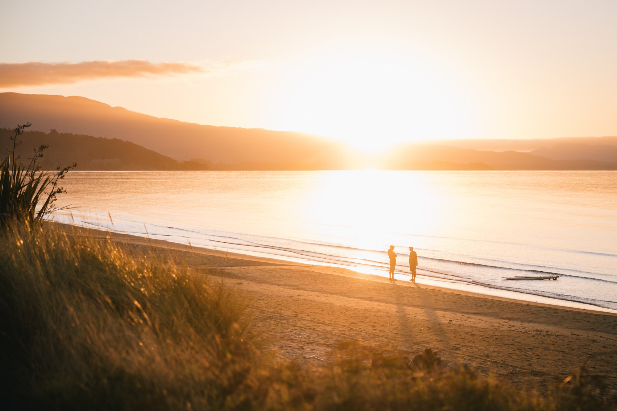
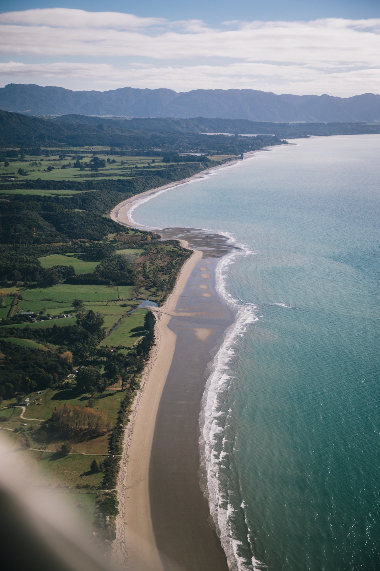
Alternative transit options have expanded to mitigate the arduous drive. Regional operators such as Golden Bay Air facilitate multi-modal travel, connecting hikers finishing major backcountry routes—such as the 78.4-kilometer Heaphy Track—with local airfields. These services allow travelers to bypass lengthy road transfers, shortening transit times between trailheads and regional hubs like Karamea.
Ecological Significance and Conservation History

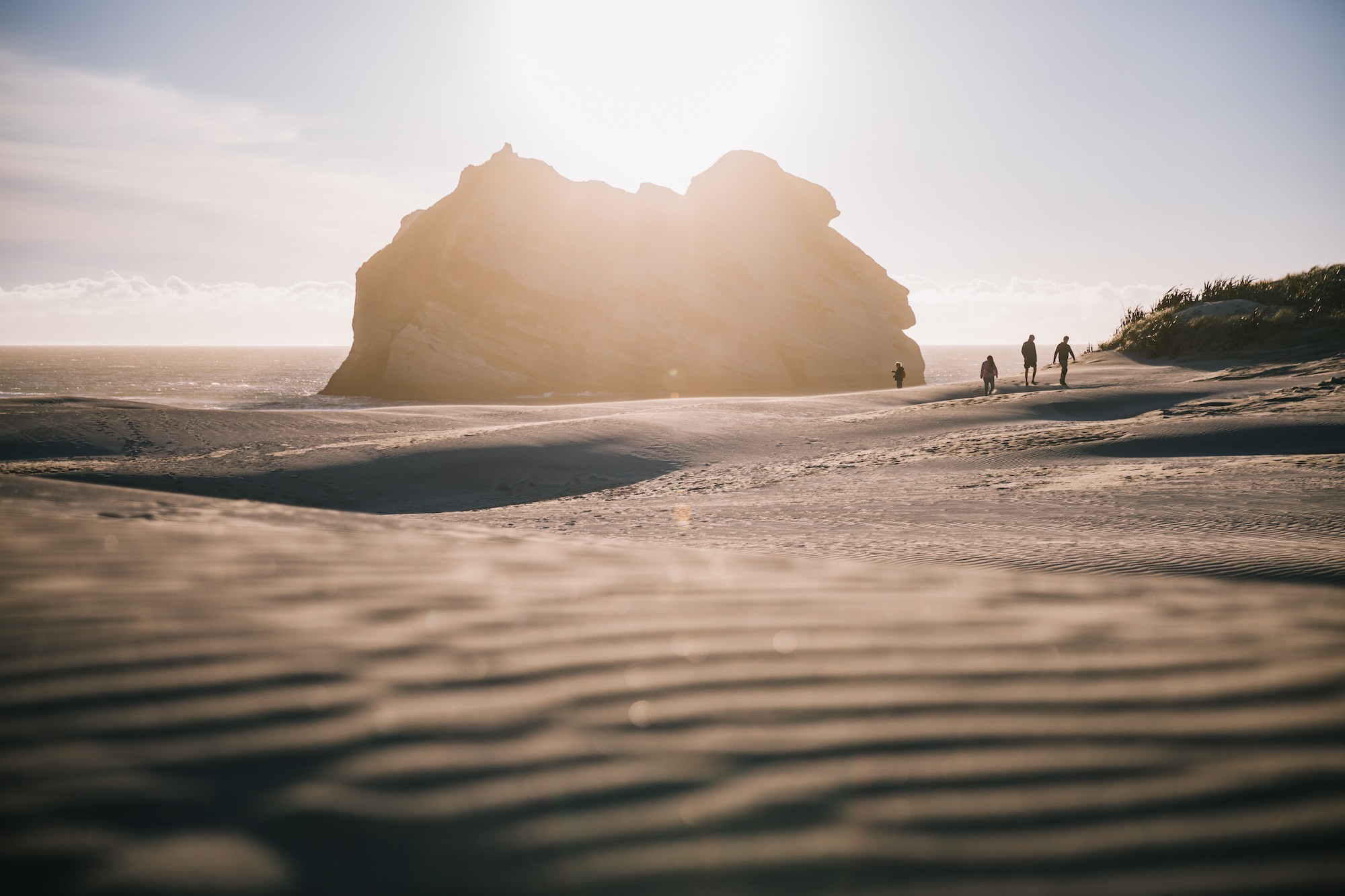
While Golden Bay is celebrated for its microclimate and high annual sunshine hours, the region holds profound significance in New Zealand’s marine conservation landscape. Farewell Spit, a sweeping sandspit projecting eastward from the mainland, is globally recognized as a recurrent site for mass marine mammal strandings, predominantly involving long-finned pilot whales.

Historical records indicate that hundreds of whales have occasionally stranded in the shallow, gently sloping tidal flats surrounding the spit. Marine scientists attribute these recurring events to a combination of complex bathymetric features, including shallow intertidal zones that can disorient echolocating marine mammals, alongside strong tidal currents.
Organizations such as Project Jonah, alongside Department of Conservation (DOC) rangers and local volunteers, frequently mobilize emergency responses during these incidents. Past high-profile strandings have catalysed broader national initiatives focused on marine mammal research, stranding response training, and coastal monitoring protocols across the South Island.
Geological Wonders: Rawhiti Caves and Te Waikoropupū Springs
Beyond its coastline, the Nelson-Tasman region features some of the country’s most extensive cave networks and freshwater phenomena, shaped by millennia of water erosion through soluble limestone.
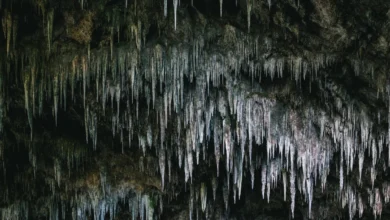
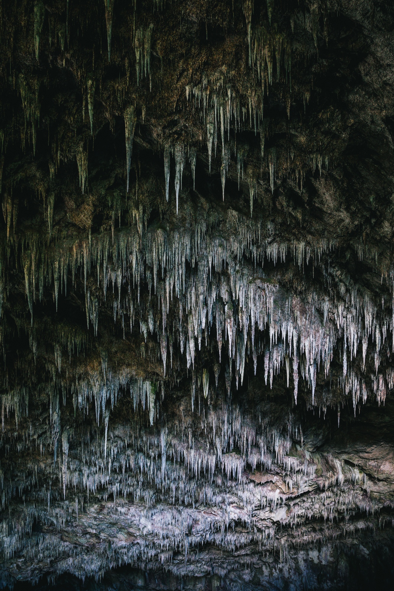
Located a short distance from Takaka, the Rawhiti Cave track leads hikers through regenerating native forest to one of the most remarkable cave entrances in the country. Unlike standard tourist caves, Rawhiti is celebrated for its colossal, daylight-lit gaping sinkhole, adorned with an elaborate hanging garden of mosses and massive stalactites fed by mineral-rich drip water.

A short journey further reveals Te Waikoropupū Springs (commonly known as Pupu Springs), the largest cold-water springs in the Southern Hemisphere and home to some of the freshest, clearest freshwater recorded globally. Underwater visibility tests have routinely recorded clarity up to 81 meters, approaching the optical purity of chemically distilled water. Due to its cultural significance to local Māori—who regard the springs as a sacred taonga (treasure)—access is strictly regulated via a raised walking track network, prohibiting any physical contact with the water to preserve its pristine ecosystem.
Socioeconomic and Cultural Profile
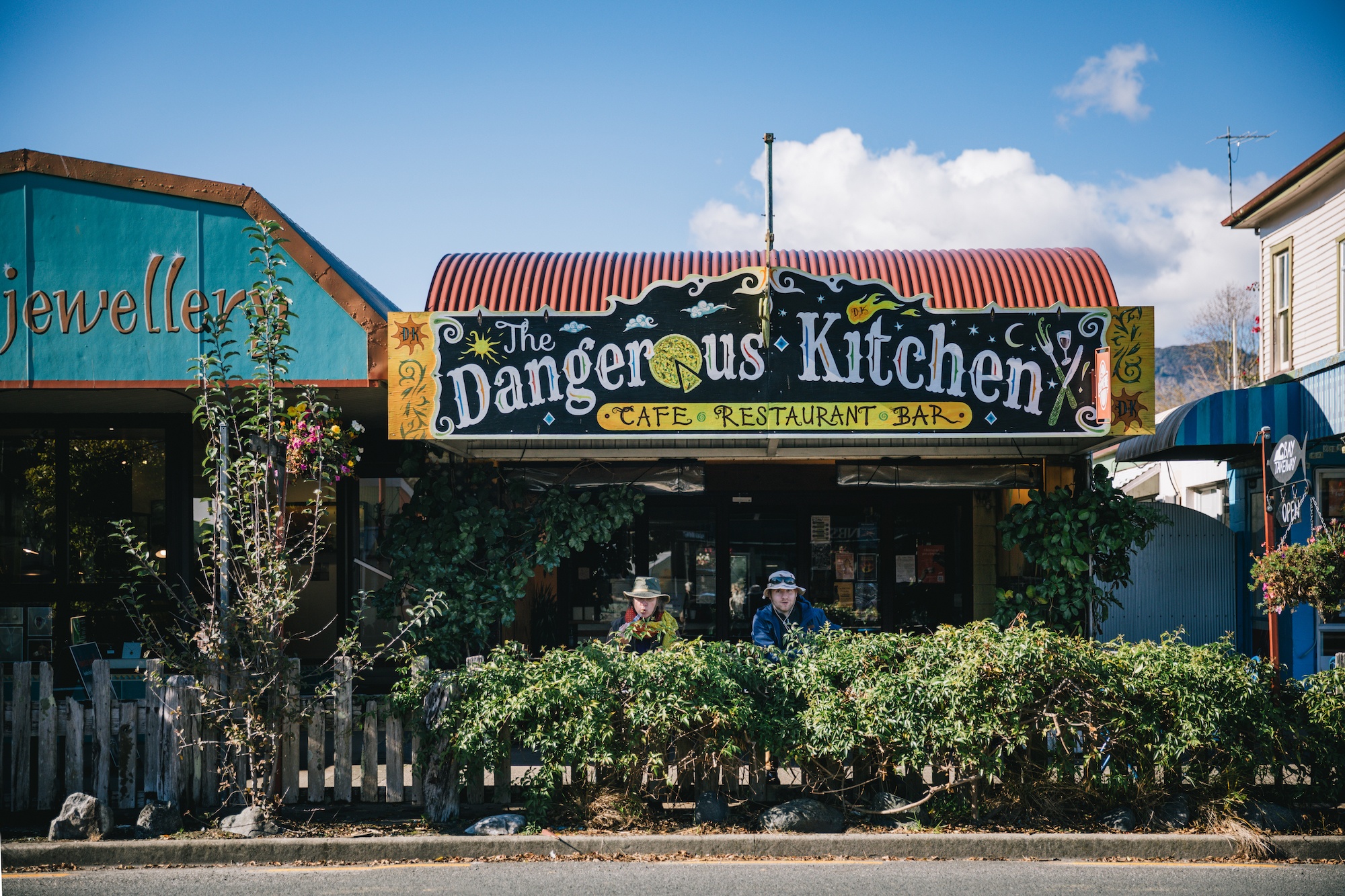
Golden Bay maintains a distinct counter-cultural heritage rooted in the late 20th-century back-to-the-land movement. The local economy relies heavily on horticulture, independent organic farming, boutique brewing, and low-impact tourism. The presence of roadside honesty boxes for farm-fresh produce reflects a high-trust community model rarely found in larger metropolitan centers.
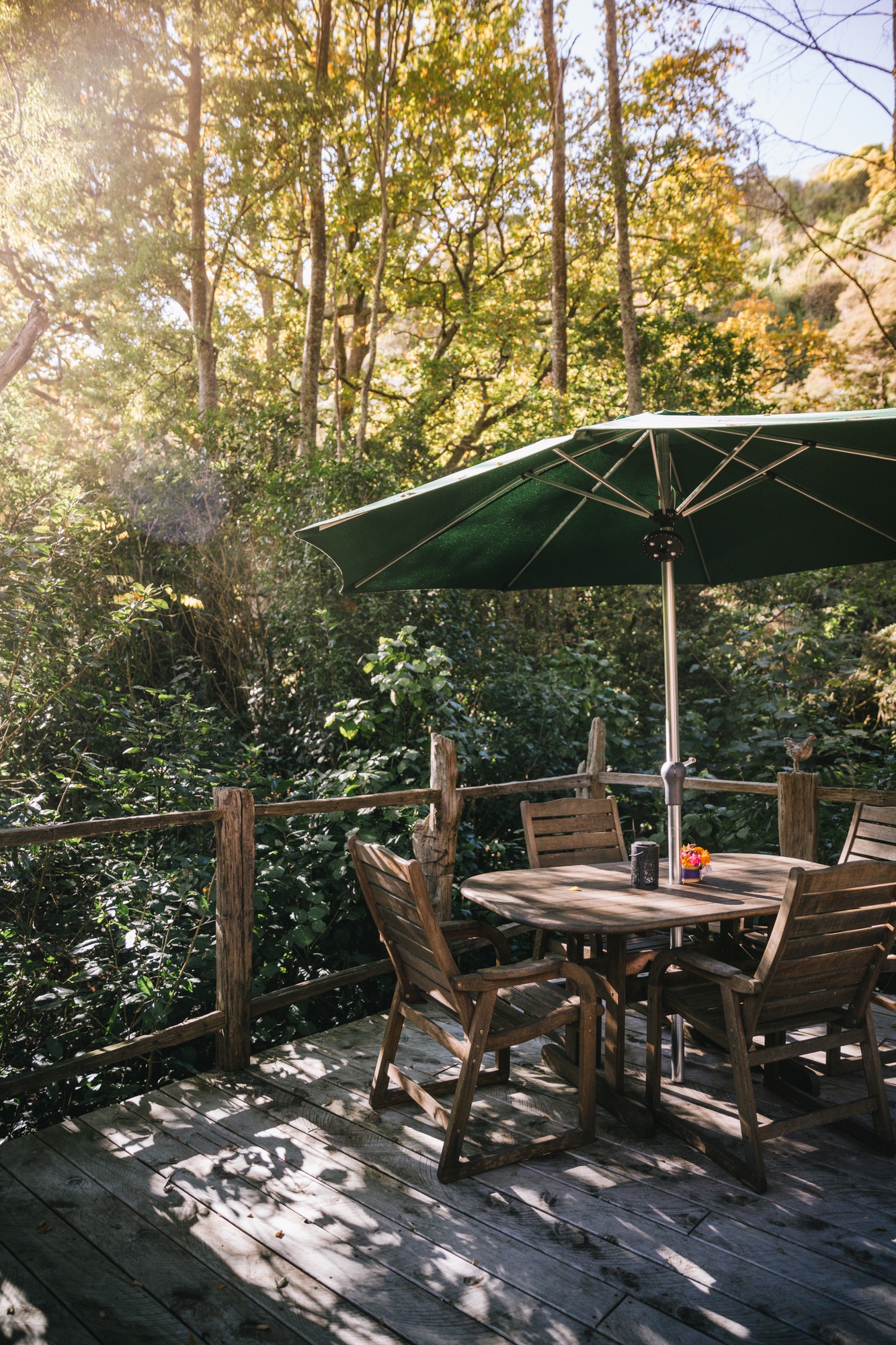
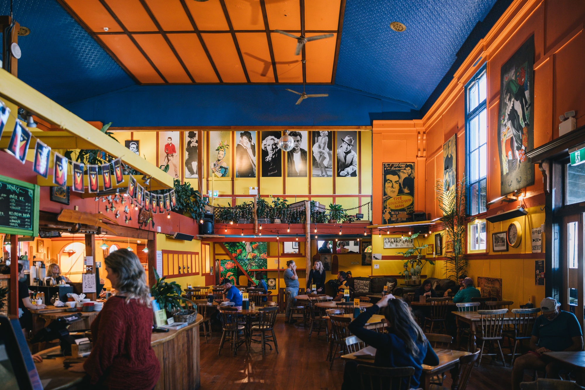
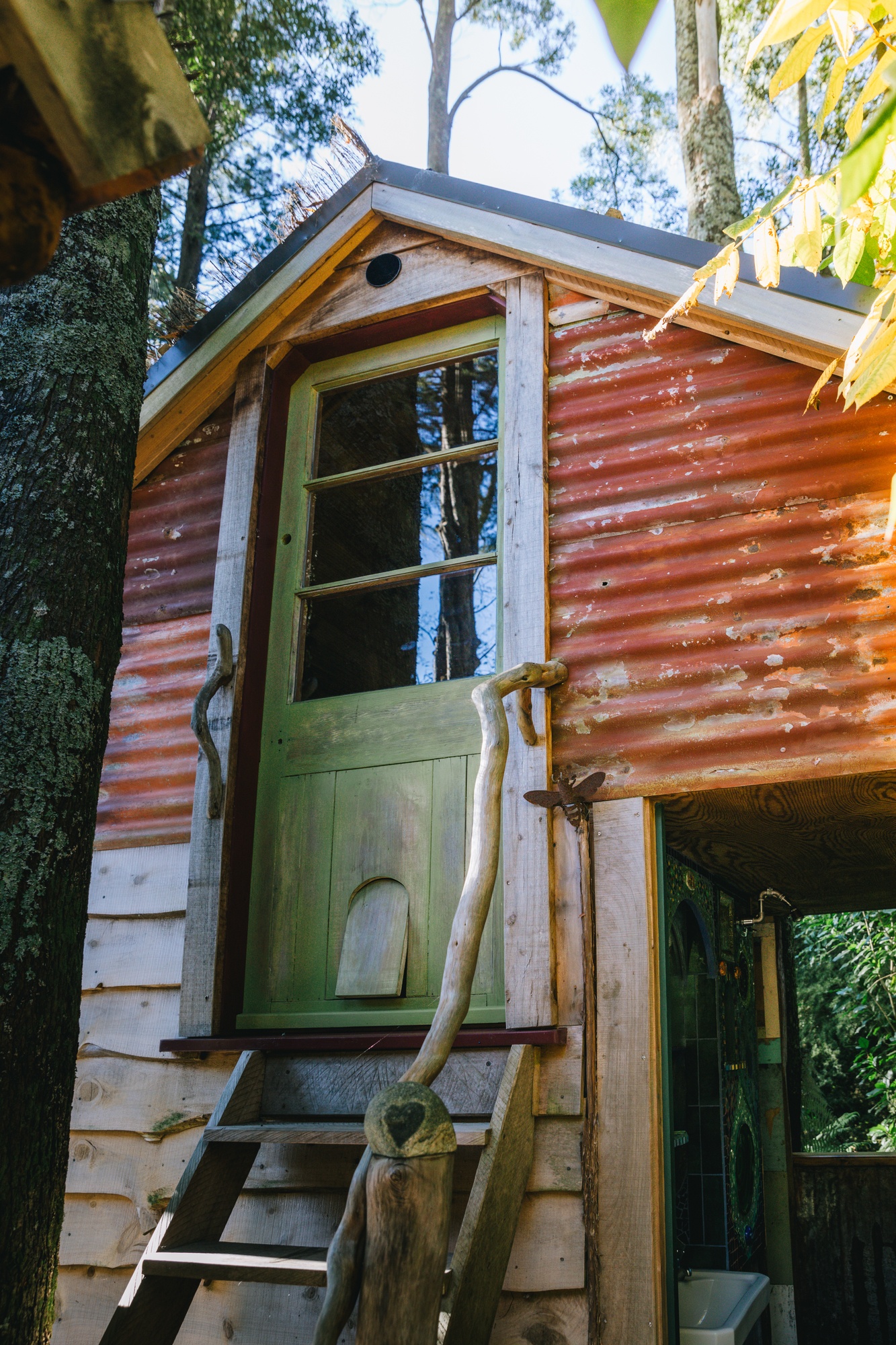
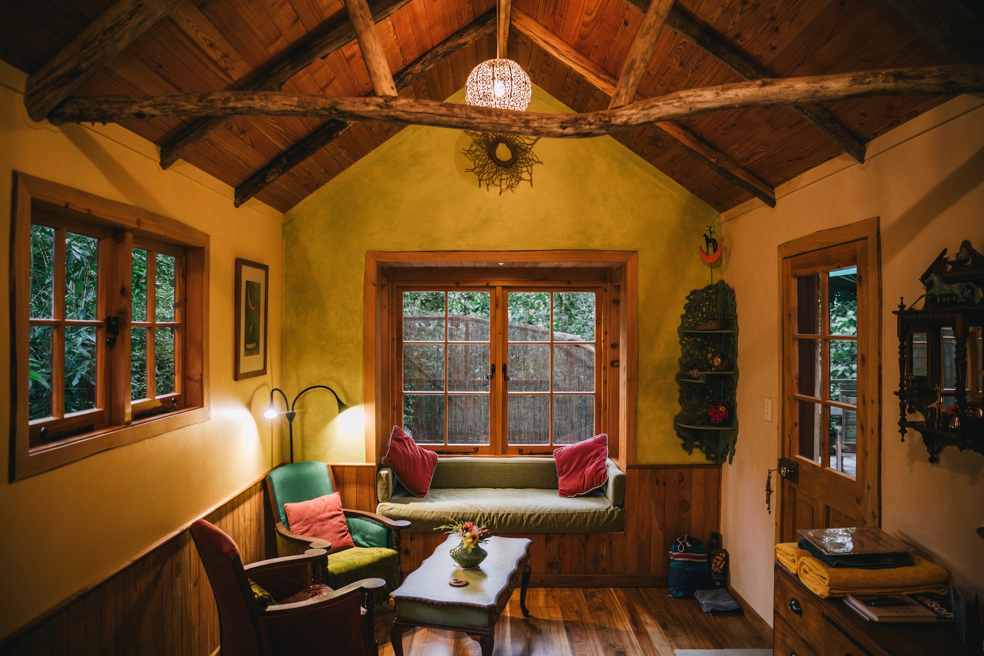
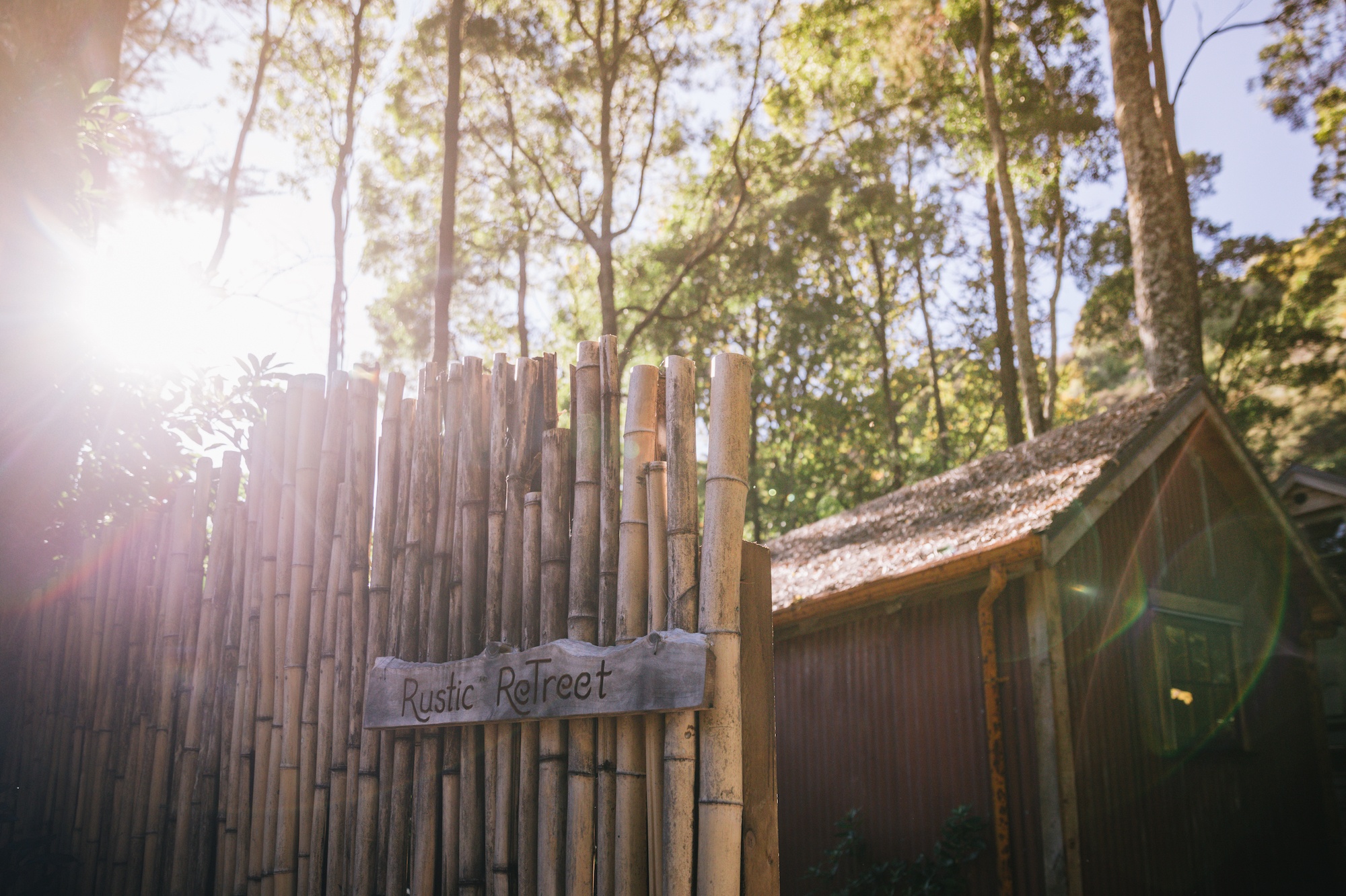
Hospitality infrastructure in the area mirrors this ethos, favoring low-density, sustainable accommodations such as bespoke forest glamping sites and eco-cabins built from locally milled timber and repurposed materials. Landmark institutions like the Mussel Inn in Onekaka serve as cultural anchors, combining regional aquaculture with micro-brewing and live acoustic performances that draw both residents and travelers.

Broader Economic and Tourism Implications

The contrasting experiences of travelers moving between Golden Bay and southern alpine centers like Wānaka highlight ongoing discussions within New Zealand’s tourism sector regarding regional dispersal and infrastructure capacity.

While southern tourism corridors frequently grapple with high visitor density, traffic congestion on mountain passes like the Crown Range, and escalating living costs, regions like Golden Bay offer a case study in sustainable, low-impact regional tourism. However, maintaining this balance requires careful management of transport networks, environmental protections for sensitive sites like Te Waikoropupū Springs, and continued collaboration between local iwi, regional councils, and conservation groups to safeguard the unique natural heritage of New Zealand’s top of the south.