Navigating the Digital Trail: How Crowdsourced Mapping Apps and Land Managers Are Partnering to Protect the Outdoors


The transition from physical paper maps and dog-eared guidebooks to smartphone-based trail navigation has fundamentally reshaped modern outdoor recreation. Decades ago, hikers relied on topographic maps acquired at trailheads or relied on word-of-mouth directions passed down by locals. Today, platforms like AllTrails, Gaia GPS, Komoot, and onX Backcountry dominate the outdoor space, offering instant access to elevation profiles, GPS tracking, and crowd-sourced reviews. With AllTrails boasting over 100 million members worldwide since its launch in 2010, the sheer volume of users dictates modern foot traffic patterns. However, this unprecedented public access has introduced severe unintended consequences, including severe trail erosion, worsening overcrowding, and accidental trespassing on private or sacred Indigenous lands. As digital platforms increasingly rival official government agencies as primary sources of geographic information, a pressing question has emerged: Who bears the ultimate responsibility for managing and protecting trail data?

The roots of the modern digital trail crisis trace back to the rapid proliferation of smartphones and social media geotagging over the past fifteen years. Platforms rely heavily on a combination of proprietary verified routes and OpenStreetMap (OSM) segments—a Wikipedia-style, crowdsourced global mapping system maintained by volunteers. While this democratization of data allows hikers to discover remote locations effortlessly, it frequently directs foot traffic onto closed routes, fragile ecosystems, and dangerous terrain. In 2022, provincial authorities in Alberta, Canada, publicly urged visitors to exercise caution and avoid relying exclusively on AllTrails after recording multiple search-and-rescue incidents linked to inaccurate digital mapping data. Similar frustrations have echoed globally, as land managers struggle in a digital game of whack-a-mole to protect fragile natural resources from sudden viral influxes of visitors.
The friction between digital mapping convenience and land preservation is acutely felt on Indigenous and tribal lands. Alvina Arviso, Department Manager III for Navajo Parks and Recreation, which oversees vast wilderness and cultural areas across Arizona, New Mexico, and Utah, emphasizes that many popular trails cross sovereign tribal territories requiring specific permits for hiking and camping. Arviso notes that digital platforms have frequently mapped sacred, protected locations that are explicitly off-limits, leading to unauthorized trespassing and the defacement of ancient petroglyphs. To combat these issues, Navajo Parks and Recreation is developing its own proprietary navigation application to give visitors accurate, respectful guidance. Similar cultural and regulatory disconnects have plagued public agencies worldwide, where user-generated content often supersedes statutory closures implemented by park rangers.

Recognizing their disproportionate responsibility as the industry leader, AllTrails launched its Public Lands Program in 2024 to bridge the gap between digital platforms and official authorities. The initiative now connects over 900 public land partners globally—including the U.S. National Park Service—directly to the app’s backend infrastructure. Under this framework, user-submitted route updates and trail modifications within partner jurisdictions bypass standard community moderators and go straight to local land managers, who retain the authority to approve, edit, or reject changes and issue real-time safety alerts. Early trials of the program yielded dramatic results; AllTrails’ 2025 Impact Report highlighted Olympic National Park in Washington State, which saw a 66 percent decrease in search-and-rescue incidents in 2023 after piloting the initiative.
Competitors in the digital mapping sphere have adopted varying approaches to address stewardship and safety. Trailforks, an application tailored primarily to mountain bikers, allows local trail associations rather than government entities to review and moderate user-submitted changes. Outdooractive offers modification capabilities via its paid My Business platform for land managers, though its user base remains smaller at approximately 500,000 users compared to AllTrails’ massive global community. Meanwhile, platforms like Gaia GPS rely heavily on OpenStreetMap and specialized topographic layers, while onX Backcountry combines government agency data with anonymized user analytics and owns Hiking Project. Despite these varying architectures, AllTrails remains the largest-scale connector between public land managers and consumer audiences, providing its stewardship tools at zero cost to participating agencies.
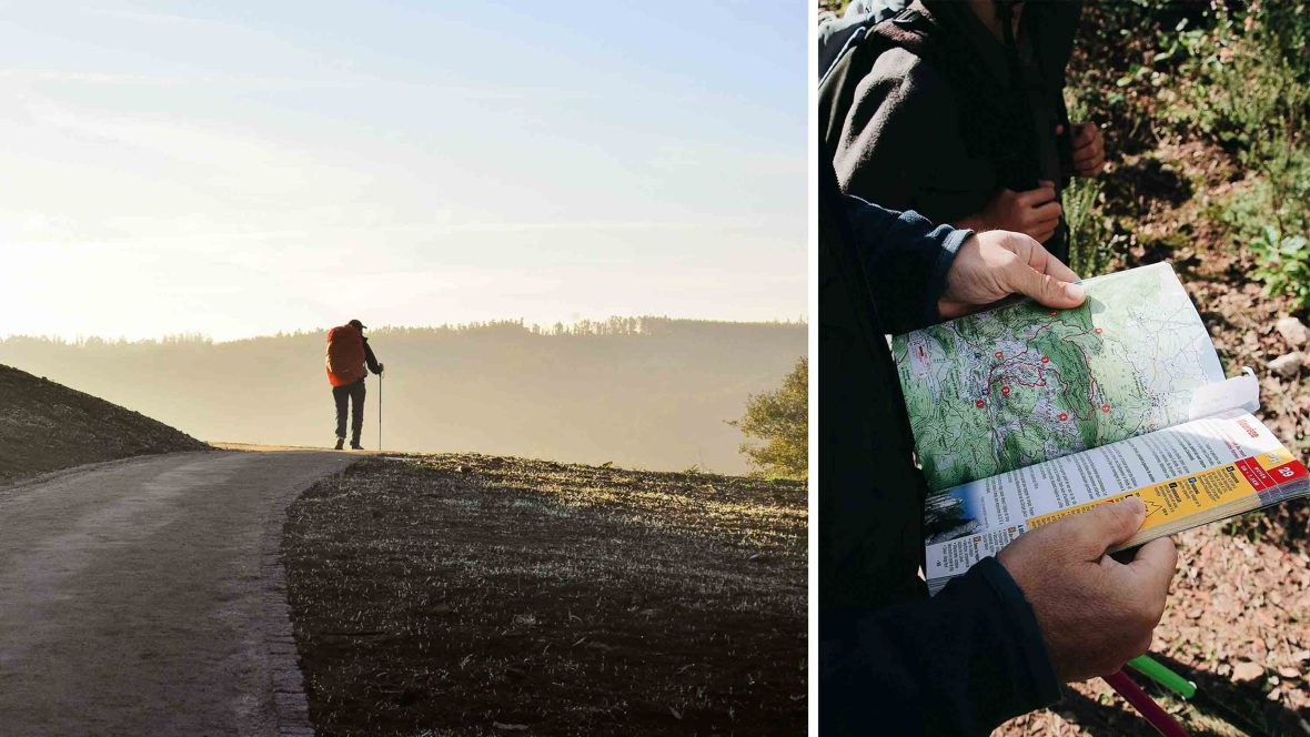
From the perspective of land management professionals, the integration of official oversight into commercial apps represents a vital shift in public safety strategy. Eric Delynko, a Geographic Information Systems (GIS) supervisor for Jefferson County, Colorado, noted during a recent industry panel that staff previously struggled as visitors consistently trusted crowdsourced app data over official county signage. Because AllTrails map links frequently outrank official government URLs in search engine results, visitors viewed the app as the ultimate regulatory authority. By utilizing the Public Lands Program, county staff can implement trail closures with a few mouse clicks, while simultaneously accessing anonymized user density data to better allocate maintenance resources and ranger patrols.
Beyond managing trail closures, industry leaders emphasize that digital mapping apps possess a unique capacity to foster environmental stewardship. Pitt Grewe, former Director of the Utah Division of Outdoor Recreation and current Head of Social and Environmental Impact at AllTrails, argues that digital platforms provide consistent reinforcement of Leave No Trace principles. While a physical sign posted at a trailhead is easily overlooked, recurring educational prompts embedded directly within a navigation app create multiple touchpoints that encourage responsible behavior. Furthermore, AllTrails has integrated accessibility features into its platform, providing surface-type data across more than 156,000 trail listings to assist users with mobility-related disabilities. Additional corporate initiatives, such as REI and AllTrails’ Better Trails Club, combine community hikes with trail cleanups, while corporate revenue sharing supports non-profits like Camping to Connect and SheJumps.
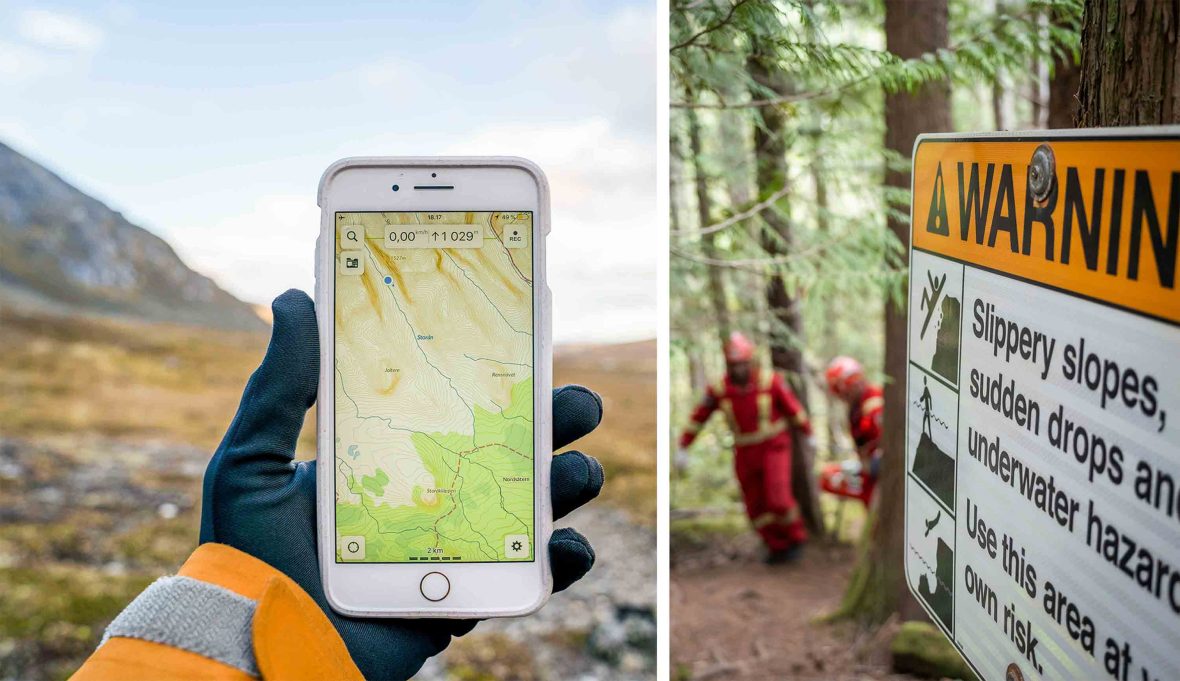
Despite these advancements, structural limitations remain inherent to crowdsourced digital mapping ecosystems. Because user data is strictly anonymized to protect individual privacy, land managers can broadcast closure alerts through the platform, but they cannot directly penalize or hold accountable individuals who violate those restrictions. Furthermore, when severely overused trails are permanently removed from platforms like AllTrails, information often migrates to alternative online forums, social media channels, and unmoderated blog posts. Industry analysts note that while public-private partnerships cannot eradicate ecological degradation entirely, they serve as an essential model for modern resource management. By embedding official oversight directly into consumer mapping software, tech platforms and public land agencies are transforming crowdsourced navigation from a liability into a proactive tool for environmental protection.
Related posts: