Costa Rica is frequently misjudged by travelers studying its modest footprint on a continental map. Spanning roughly 19,700 square miles—comparable in size to the US state of West Virginia—the country tricks visitors into believing they can effortlessly traverse its diverse terrain within a standard one-week vacation. However, a rugged mountainous spine bisects the nation, creating dramatic microclimates and distinct geographic corridors that function less like a single unified territory and more like a collection of separate countries.
Travel infrastructure further challenges these logistical assumptions. Distances that appear manageable on paper routinely take two to three times longer to cover by vehicle. Winding mountain roads, changing elevations, and unpaved rural byways demand careful travel pacing. Consequently, international tourism strategists and local destination management organizations emphasize that the most critical planning question is not how much ground a family can cover, but rather which specific regions to select and how to sequence them logically.
Understanding the Geographic Diversity of Costa Rica
To build an effective itinerary, travelers must recognize the climatic and geological partitions defining the nation. The sun-drenched northwest Pacific coast operates under a starkly different weather calendar than the humid Caribbean side. Meanwhile, cloud forests perched at 4,500 feet above sea level offer crisp, misty environments starkly contrasted against lowland rainforests reachable exclusively by boat.
Tourism data from the Costa Rican Tourism Board (ICT) indicates that family travel constitutes a vital segment of the country’s annual visitor arrivals, which frequently exceed three million tourists. Because families managing children require realistic transit schedules, travel advisors increasingly advocate for slow-travel itineraries focused on two complementary regions rather than exhausting multi-destination dashes.
Guanacaste: The Sun-Kissed Northwest
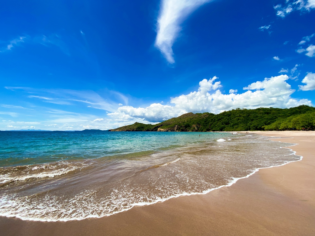
Occupying Costa Rica’s northwestern corner, Guanacaste features a Pacific coastline stretching from the calm, protected coves of the Peninsula Papagayo down to the active surf hubs of Tamarindo and Nosara. Inland, the landscape shifts dramatically into rolling ranchlands and active volcanic terrain, exemplified by Rincón de la Vieja. This territory harbors a deep-rooted sabanero (cowboy) culture that lends the region a distinct identity compared to the rest of the country.
For families, Guanacaste offers an accessible introduction to tropical travel. Children can take beginner surf lessons on the forgiving breaks of Tamarindo, embark on catamaran excursions in search of marine mammals, or hike through Rincón de la Vieja National Park to discover hidden waterfalls, bubbling mud pots, and geothermal hot springs.
Logistical Advantages and Trade-Offs
From a practical standpoint, Guanacaste boasts a major infrastructure advantage: many luxury resorts and boutique family hotels sit within a 30- to 45-minute drive of Daniel Oduber Quirós International Airport in Liberia (LIR). This proximity minimizes transit fatigue for younger children accustomed to car seats.
However, this geographic convenience carries a climatic caveat. The regional dry season, which guarantees virtually uninterrupted sunshine from December through April, systematically browns the hillsides by March. Furthermore, natural beach shade can be scarce during peak midday hours, requiring families to plan outdoor activities around early morning windows.
The Caribbean Coast: Culture, Canals, and Biodiversity
Marched to a profoundly different rhythm, Costa Rica’s Caribbean coast blends Afro-Caribbean and Bribri Indigenous heritage, reggae rhythms, and aromatic Creole gastronomy. Anchored by the vibrant towns of Puerto Viejo and Cahuita, this jungle-meets-sea corridor showcases some of the highest biodiversity concentrations in Central America.
Farther north, the intricate waterways of Tortuguero form a roadless labyrinth accessible only by boat or small aircraft. This northern Caribbean stretch also serves as a critical nesting ground for endangered green sea turtles. Overall, the Caribbean side is significantly greener, wetter, and less commercialized than its Pacific counterpart.
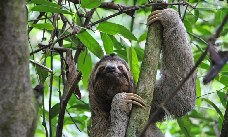
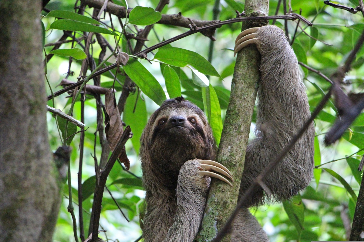
Key activities here include snorkeling the coral reefs of Cahuita National Park, spotting sloths and toucans along coastal forest trails, and paddling the mirror-like canals of Tortuguero at dawn to observe caimans and waterbirds.
Travel Logistics and Seasonal Realities
Reaching the Caribbean coast requires a deliberate commitment. Puerto Viejo sits more than a four-hour drive east of San José, while Tortuguero demands strict adherence to boat transfer schedules and regional luggage weight limits.
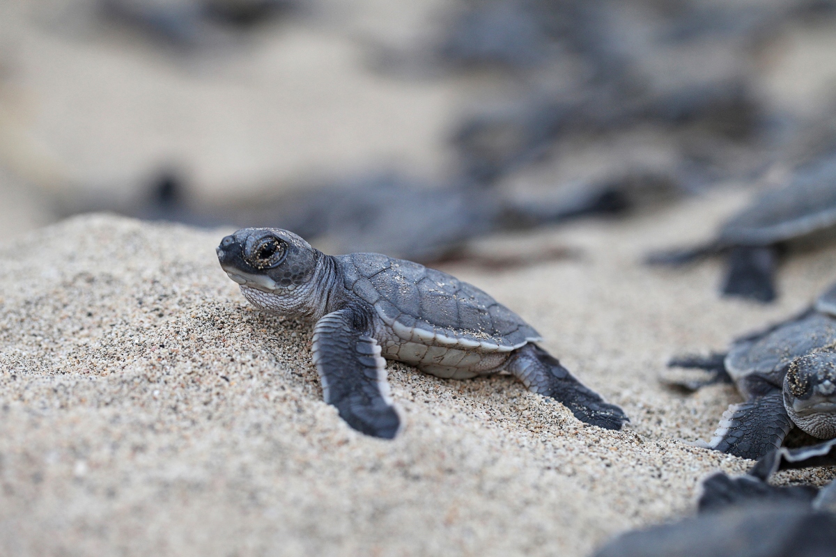
Climatologically, the Caribbean operates on an inverse schedule to the Pacific. Green turtle nesting peaks from July through October, perfectly overlapping with the September-to-October window when the Caribbean experiences a relative dry spell just as the Pacific side encounters its heaviest seasonal rains.
The Nicoya Peninsula: Rugged Landscapes and Blue Zone Longevity
Positioned just south of Guanacaste, the Nicoya Peninsula offers a more rugged, bohemian iteration of the northern Pacific coast. Famed for the world-class surf breaks of Santa Teresa, the cascading waterfalls of Montezuma, and miles of wild shoreline accessed via unpaved tracks, the peninsula invites unhurried exploration.
Crucially, the Nicoya Peninsula is internationally designated as a "Blue Zone"—one of a handful of regions worldwide where residents routinely live active lives past the age of 90. The slow, intentional pace of local village life reflects this demographic reality, making it an ideal destination for families seeking unstructured connection with nature.
Navigation and Accessibility
While northern Nicoya hubs like Nosara and Sámara are easily reached by road from Liberia, journeys to the southern tip of the peninsula typically require boarding the Puntarenas-Paquera ferry, executing a wide drive around the Gulf of Nicoya, or booking a commuter flight to Tambor. Because many southern routes remain unpaved and susceptible to seasonal washouts, high-clearance four-wheel-drive vehicles are strongly recommended during the green season.

The Central Valley: Heartland and Coffee Country
Cradled by towering volcanic ranges, the Central Valley serves as Costa Rica’s historical and economic heartland. Containing the capital city of San José alongside the nation’s primary international gateway, Juan Santamaría International Airport (SJO), this region houses approximately two-thirds of the country’s population.
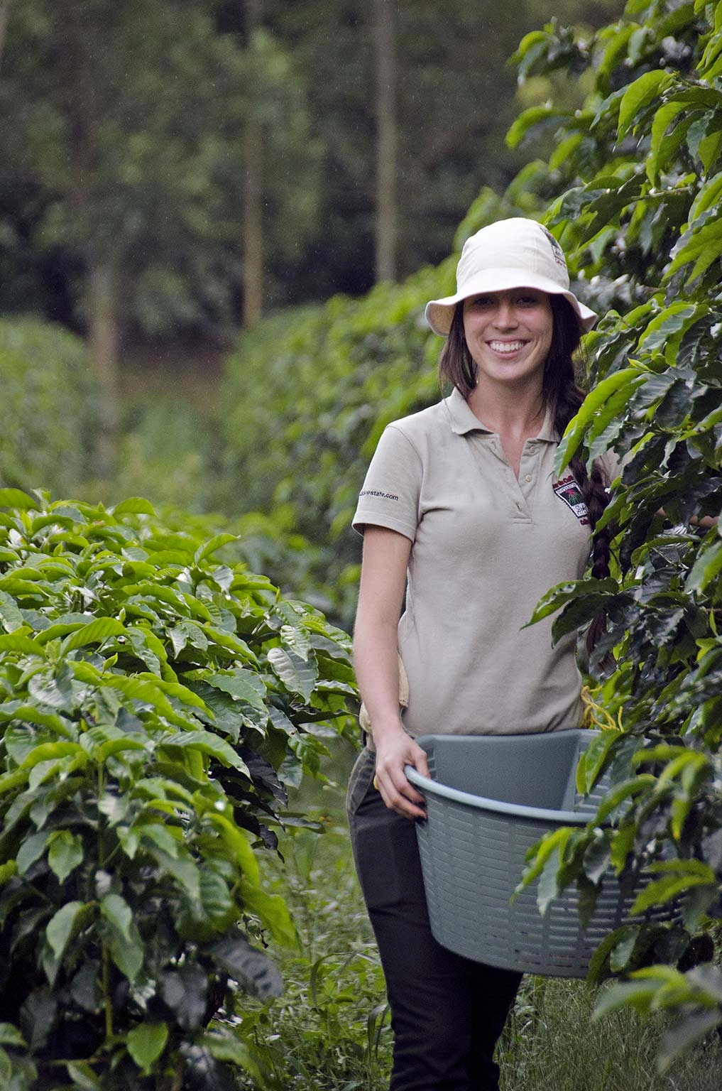
Generations of agricultural heritage define the surrounding highlands, where temperate, springlike conditions cultivate world-class Arabica coffee. Local plantations host family-oriented educational tours, allowing older children to trace the bean-to-cup production process while younger travelers explore butterfly gardens and hummingbird sanctuaries. Day trips to the summit craters of the Poás or Irazú volcanoes further enrich brief layovers.
Topographic Climate Relief
The Central Valley’s altitude acts as a natural climate control mechanism. At elevations exceeding 3,000 feet, temperatures remain mild and springlike year-round, offering a welcome respite for travelers transitioning from the humid tropical lowlands.
The Northern Region: Volcanoes, Suspension Bridges, and Cloud Forests
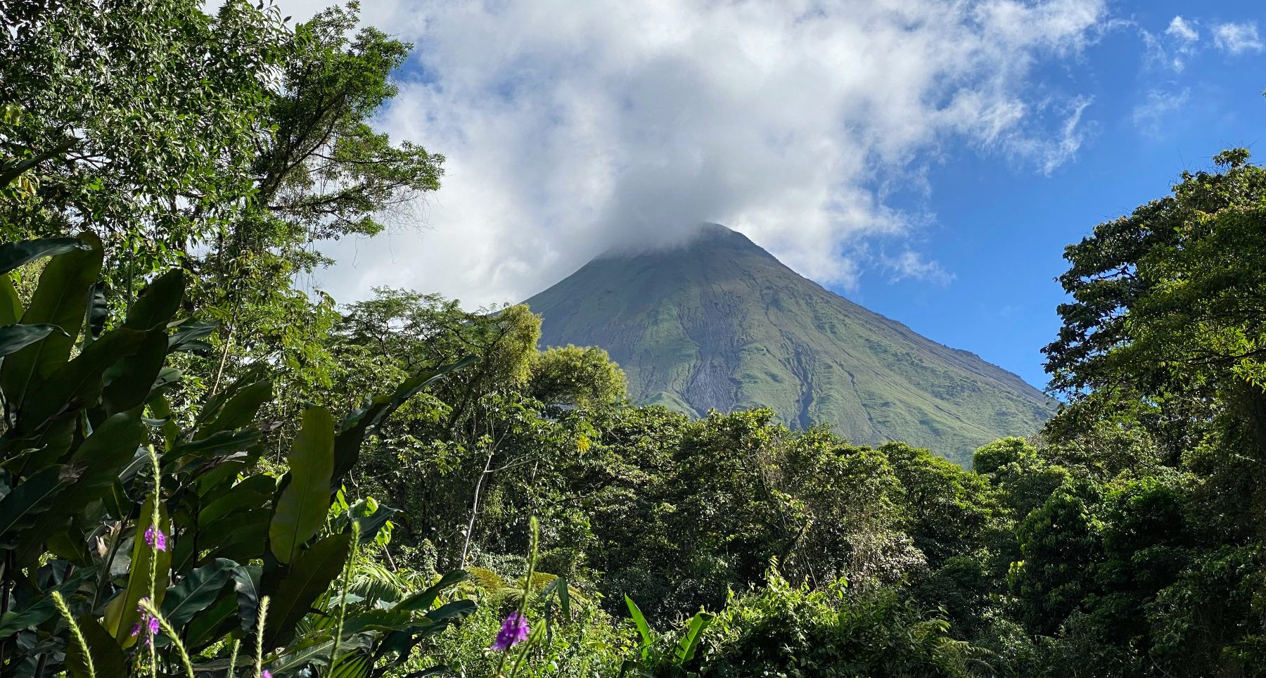
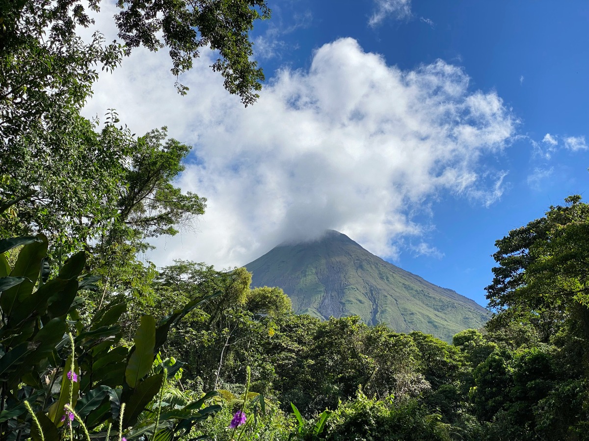
Stretching across the interior lowlands toward the Nicaraguan border, the Northern Region centers around the iconic, near-perfect cone of Arenal Volcano and the adventure capital of La Fortuna. The territory also encompasses the vital wetland sanctuary of Caño Negro and, along its western ridgeline, the mystical Monteverde Cloud Forest.
This corridor packs an extraordinary concentration of eco-adventure opportunities into a compact area. Families can traverse rainforest canopy hanging bridges, embark on peaceful wildlife floats along the Peñas Blancas River, or join guided nocturnal walks to observe fluorescent amphibians. For adrenaline-seeking families with older children, ziplining, canyoning, and whitewater rafting rank among the essential local pursuits.
Strategic Planning for La Fortuna and Monteverde
La Fortuna sits roughly three to four hours by road from both San José and Liberia airports. It stands out as one of the most age-inclusive destinations in the country, pairing gentle hot springs for toddlers with high-octane adventures for teenagers. However, planners must note that despite their geographical proximity on a map, La Fortuna and Monteverde are separated by Lake Arenal and rugged topography; attempting to treat them as day trips from one another results in exhausting transit days.
The Central Pacific: Accessible Wildlife and Coastal Charm
For travelers operating on tight schedules, the Central Pacific packs remarkable diversity into an easily accessible coastal stretch. Located roughly three hours from San José via modern, paved highways, Manuel Antonio National Park pairs a dense wildlife sanctuary with sweeping, palm-fringed beaches where white-faced capuchin monkeys and sloths routinely forage near the tideline.
Because of its extraordinary convenience, Manuel Antonio is widely considered the premier destination for families hoping to spot wildlife without embarking on deep-jungle expeditions. Guided walks through the national park reliably yield sightings of iguanas, coatis, and colorful avian species.
Managing Visitor Volume
The primary trade-off for Manuel Antonio’s accessibility is high tourist density. Park authorities strictly cap daily visitor numbers to protect local ecosystems, mandating advance ticket reservations. The surrounding municipality is also more heavily developed than Costa Rica’s remote eco-resort corridors.
The South Pacific: Remote Wilderness of the Osa Peninsula
Representing Costa Rica’s untamed frontier, the South Pacific grows progressively wilder, lusher, and more isolated the further south one travels. The Osa Peninsula and Corcovado National Park preserve some of the most ecologically complex lowland rainforests on Earth, drawing serious naturalists and conservation-minded travelers.
Defined by the dramatic "Whale’s Tail" sandbar formation at Marino Ballena National Park, misty mountain ranges, and off-grid eco-lodges, the South Pacific prioritizes deep environmental immersion over casual resort convenience. Families with older children can undertake guided treks through Corcovado to spot endangered Baird’s tapirs, scarlet macaws, and all four native monkey species, or venture offshore for seasonal humpback whale watching.
Logistical Commitment and Visitor Readiness
Reaching the remote eco-lodges of the Osa Peninsula typically requires a combination of regional flights, boat transfers, or rugged overland drives. Tourism authorities emphasize that this region is best suited for families with children old enough to endure multi-mile hikes in high humidity and maintain prolonged silence during wildlife encounters. For families with younger children, destinations featuring controlled environments and shorter trail systems generally yield a more relaxing vacation experience.
Strategic Itinerary Synthesis
Industry analysts and sustainable tourism experts continually stress that Costa Rica’s greatest asset—its immense ecological and microclimatic variety—is also its primary logistical trap. Attempting to experience every distinct region in a single week inevitably leads to travel burnout. By selecting two complementary zones—such as pairing the volcanic adventure of Arenal with the accessible wildlife of Manuel Antonio, or combining Guanacaste’s beach resorts with a highland cloud forest—families can ensure a balanced, memorable, and stress-free Central American journey.