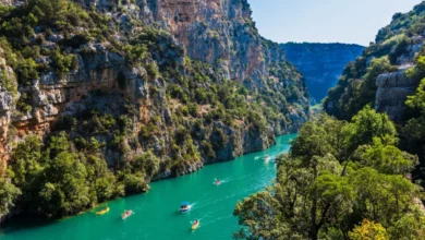
Unlocking Golden Bay: A Regional Shift from the Southern Alps to New Zealand’s Sun-Drenched Northern Tip

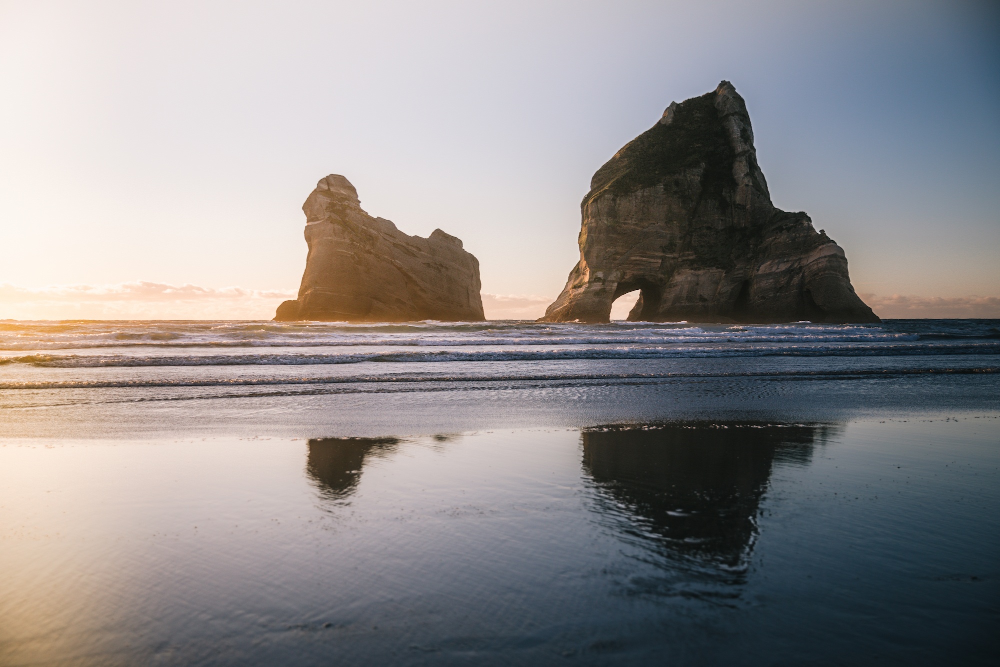
The transition from the frosty interior of Wānaka to the temperate microclimate of Golden Bay highlights the stark geographical contrasts defining New Zealand’s South Island. Situated at the northwestern extremity of the island, Golden Bay operates as a geographic cul-de-sac, bound by the Kahurangi National Park to the west, the surging waters of Tasman Bay to the east, and the protracted expanse of Farewell Spit to the north. While Wānaka residents contend with triple-digit winter electricity bills and centimetre-thick morning frosts, Golden Bay maintains a reputation for a milder climate, lower cost of living, and an agricultural sector driven by independent growers.
Recent regional travel analyses indicate that visitors frequently underestimate the logistical demands of reaching this isolated region. For travelers completing iconic backcountry treks such as the Heaphy Track, regional connectivity has evolved to streamline transit between remote trailheads. Partnerships with localized carriers like Golden Bay Air have mitigated the traditionally prohibitive driving times between Karamea and Takaka, replacing hours of winding highway transit with short commuter flights.
Navigating Takaka Hill and Regional Infrastructure
The primary vehicular artery connecting Golden Bay to the rest of the Nelson-Tasman region is State Highway 60, which traverses Takaka Hill. Rising steeply from the coastal flats of Motueka, the mountain pass features hundreds of sharp hairpin turns and significant elevation changes. Historically, the route has experienced infrastructure vulnerabilities, including multi-year lane reductions following significant storm damage that necessitated automated traffic management systems.
Transport analysts and local authorities have frequently debated the engineering challenges of maintaining South Island alpine passes. Unlike the Crown Range Road connecting Wānaka and Queenstown—which faces similar criticisms regarding a lack of safe passing bays for slow-moving heavy vehicles and campervans—Takaka Hill incorporates numerous designated pull-offs and safety barriers. Despite the winding topography, the pass remains essential for freight, tourism, and community connectivity, preserving Golden Bay’s distinct separation from major metropolitan centers.
Conservation Challenges at Farewell Spit
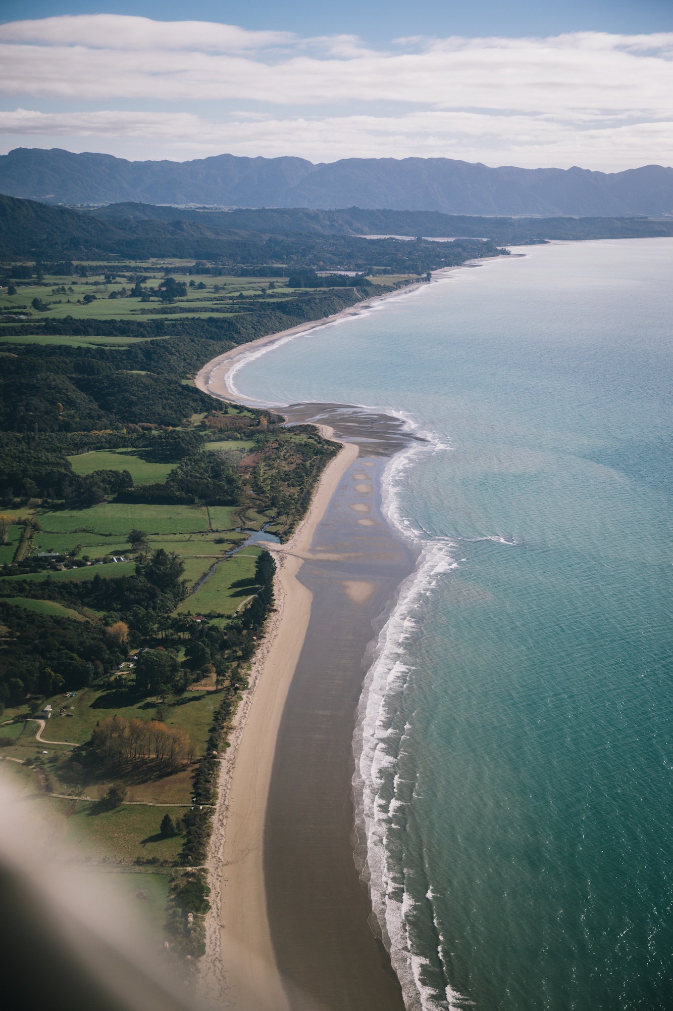
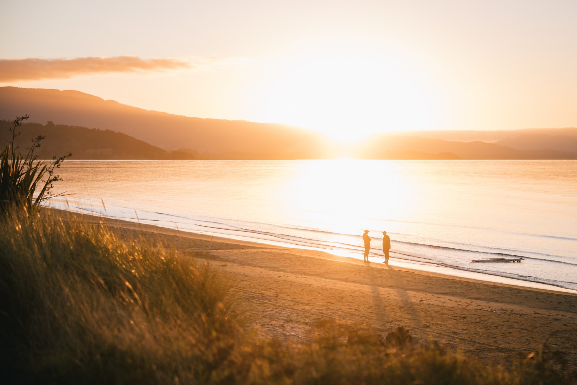
Beyond its agricultural abundance and tourism appeal, Golden Bay is uniquely shaped by its ecological geography, most notably at Farewell Spit. Extending 26 kilometers into the Tasman Sea, the sandspit forms a sweeping, crescent-shaped trap that frequently serves as the site for significant marine mammal stranding events. Historical records from organizations such as Project Jonah document major mass strandings involving hundreds of pilot whales, notably a major incident occurring seven years ago.
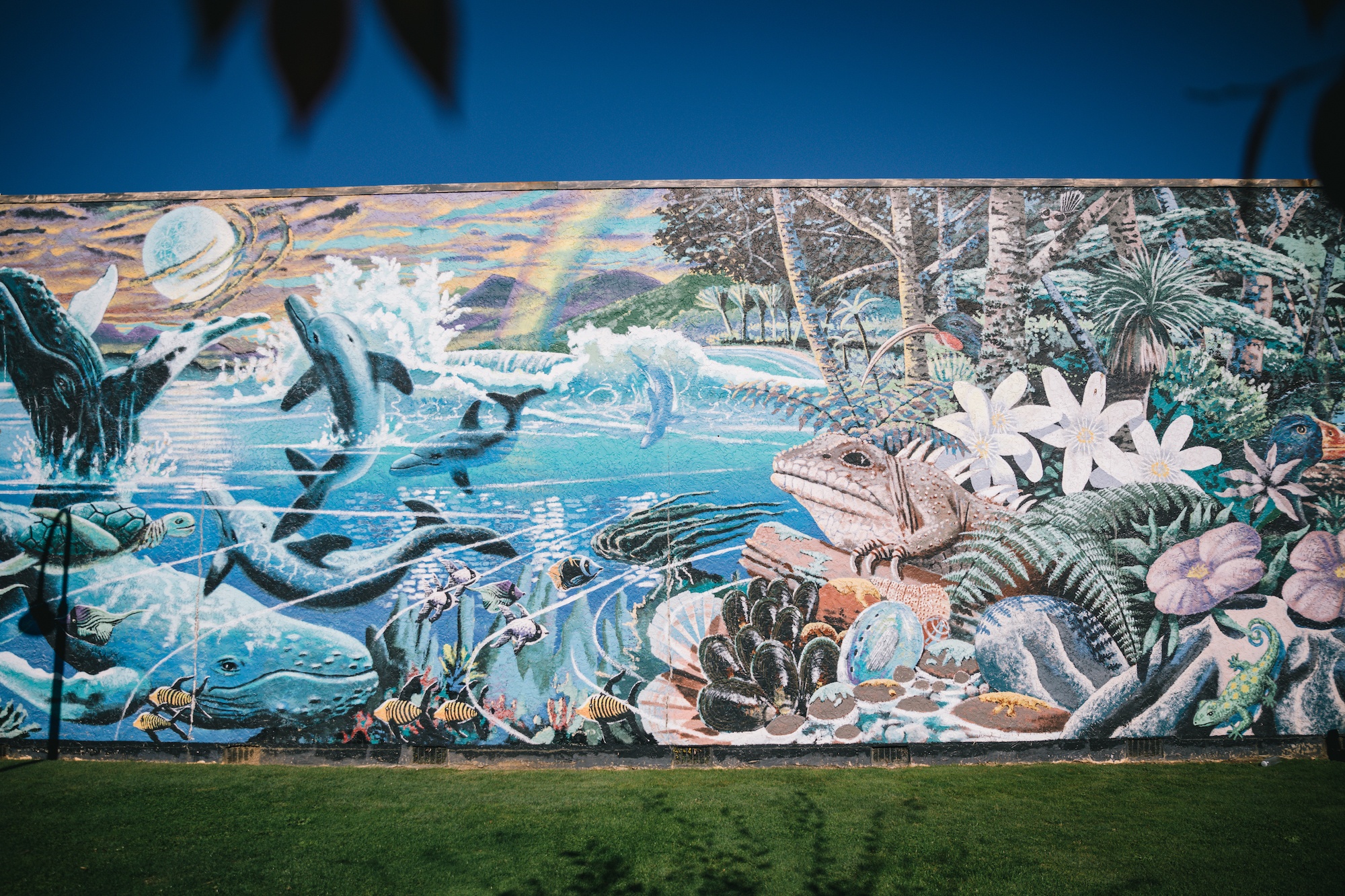
Marine biologists and conservation researchers attribute these recurring events to a combination of geographical and oceanographic factors. The shallow, gently sloping intertidal sand flats surrounding the spit contrast sharply with deep offshore waters, creating complex acoustic and navigational challenges for echolocating cetaceans. These geographic vulnerabilities have positioned the upper South Island at the forefront of New Zealand’s marine conservation strategy, prompting increased funding for rapid-response networks, stranding protocols, and public education initiatives managed by the Department of Conservation (DOC).

Ecological and Geological Significance
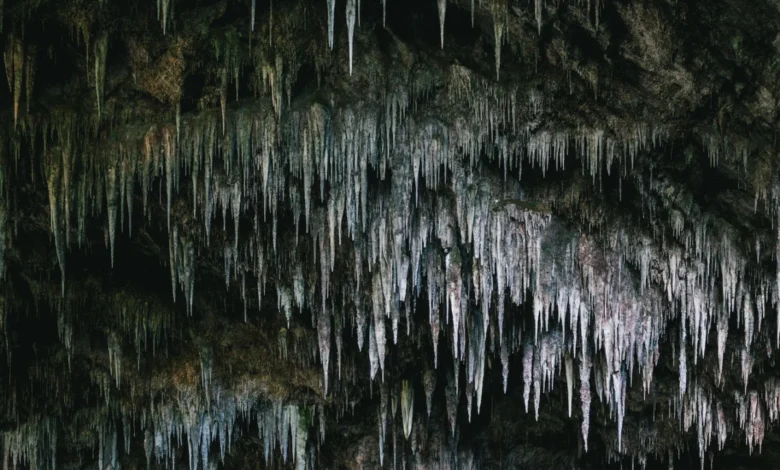
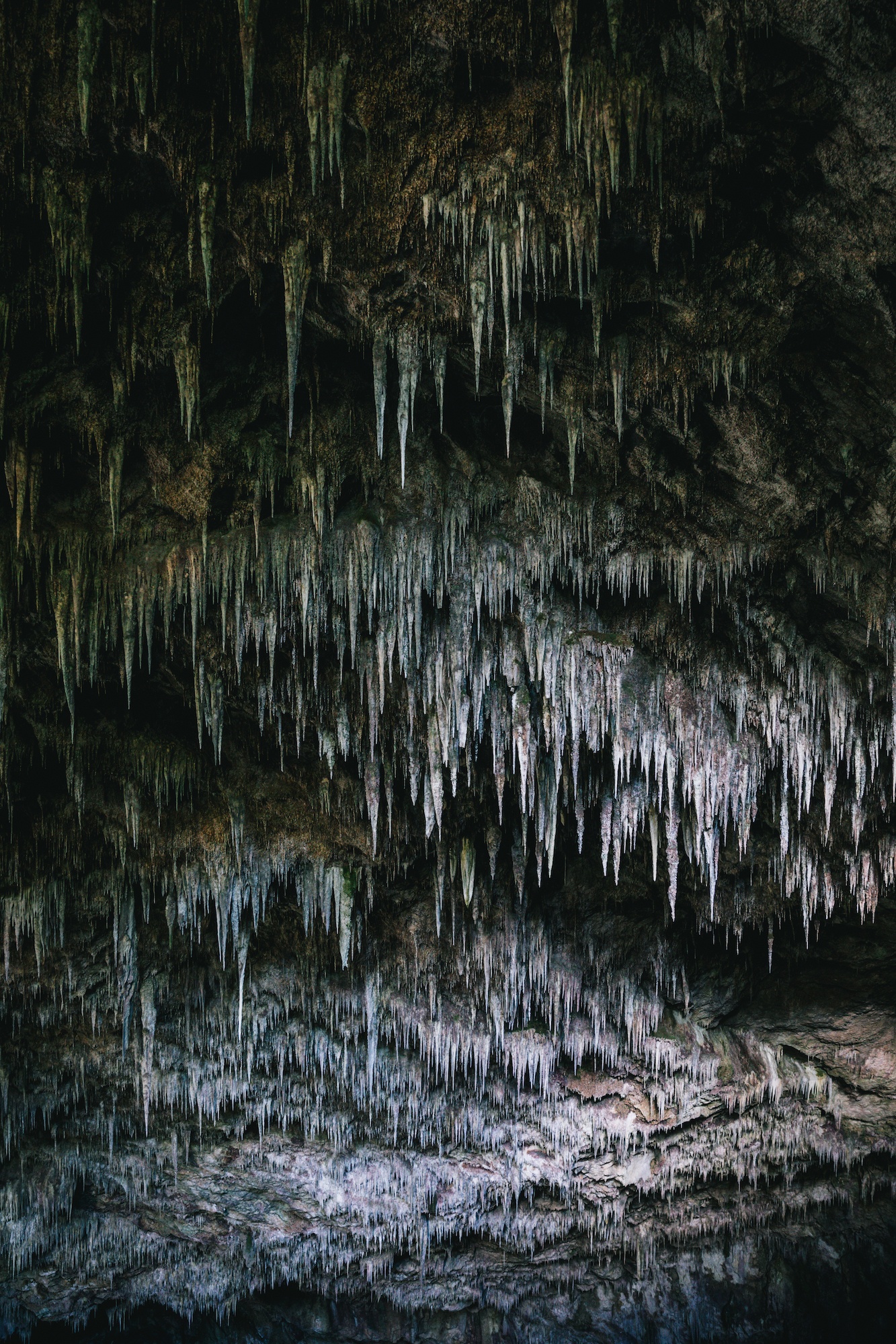
The wider Nelson-Tasman region encompasses some of the nation’s most complex subterranean and hydrological networks. Kahurangi National Park and the surrounding limestone country contain the deepest and longest cave systems in the Southern Hemisphere, including the Rawhiti Caves. Accessible via Takaka, the Rawhiti Caves feature notable biological formations and substantial hanging stalactites, drawing speleologists and ecological researchers studying ancient limestone deposition.

Hydrologically, the area is internationally recognized for the Te Waikoropupū Springs, located just outside Takaka. These springs represent the largest cold-water springs in the Southern Hemisphere and are celebrated for possessing some of the clearest freshwater recorded globally, with underwater visibility measurements reaching up to 81 meters. Regarded as a taonga (precious treasure) by local Ngāti Tama and Te Āti Awa iwi, the springs are subject to strict regional council protections. Public access is limited to a surrounding boardwalk network to preserve water purity and prevent ecological degradation.
Economic and Tourism Implications
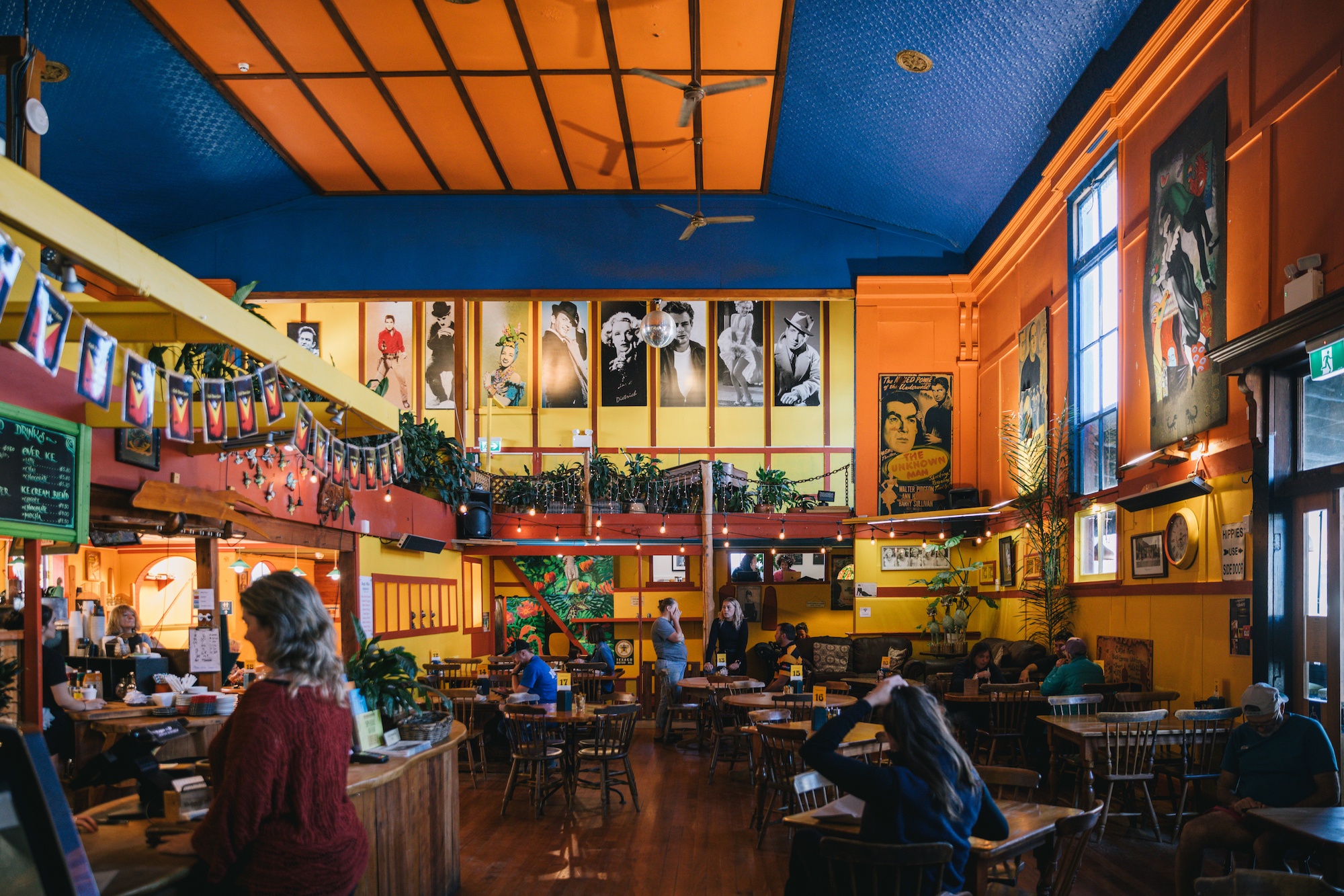
Tourism in Golden Bay relies heavily on low-impact, sustainable accommodations, ranging from eco-glamping ventures such as the Rustic ReTreet to historic hospitality fixtures like the Mussel Inn. Economically, the region operates on a decentralized model, utilizing roadside honesty boxes for local produce sales and fostering a micro-economy distinct from the commercialized ski towns of the southern Southern Alps.
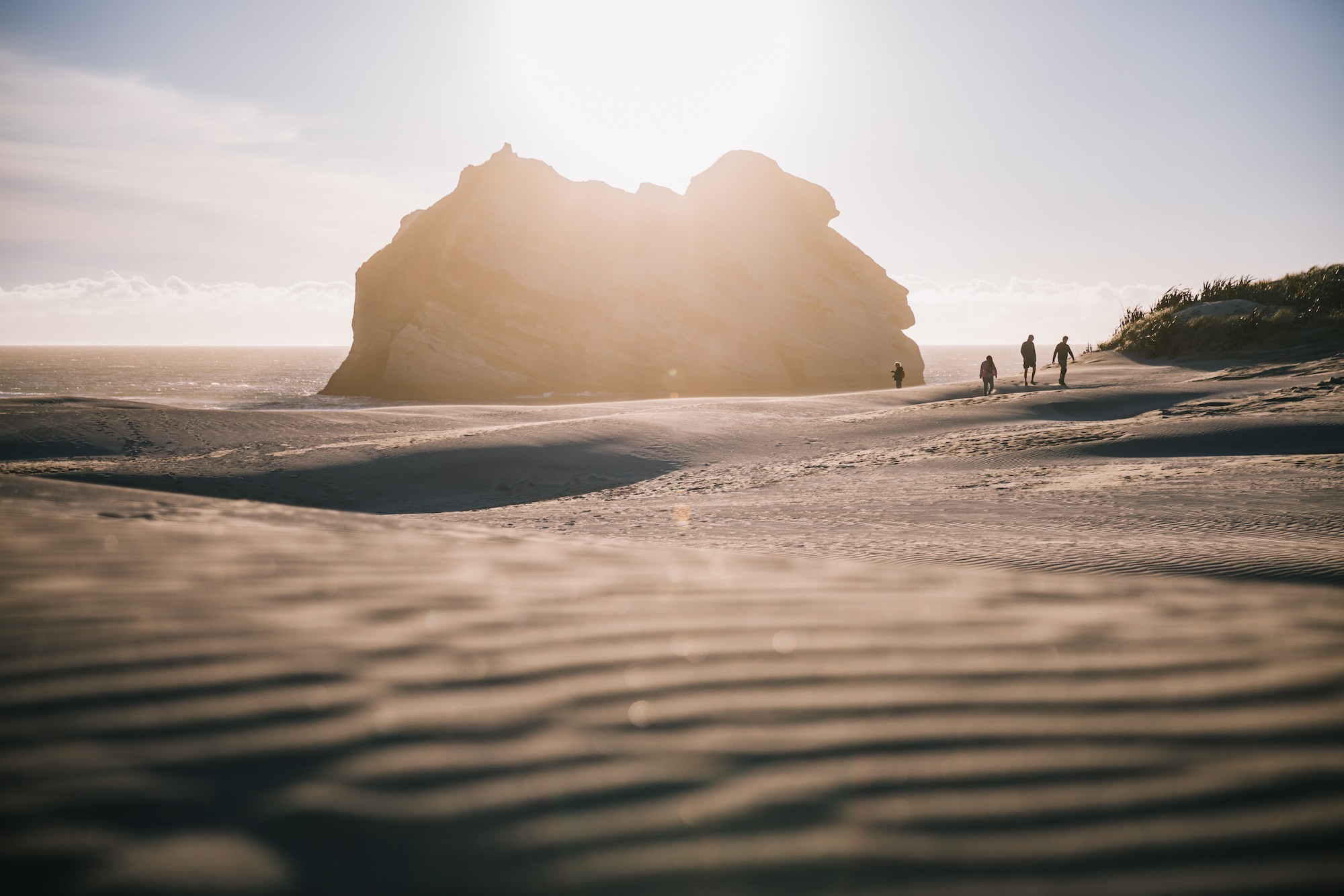
Regional tourism boards project steady interest in the upper South Island as domestic and international travelers seek remote, nature-based itineraries. However, local stakeholders emphasize the necessity of balancing visitor growth with infrastructure capacity, particularly regarding waste management, road maintenance across Takaka Hill, and the protection of fragile coastal ecosystems. As regional transport networks continue to adapt—exemplified by integrated fly-and-drive packages—Golden Bay remains accessible while retaining the isolated character that defines its community identity.