
The Cotswold Way, a designated National Trail in the United Kingdom, represents one of the most significant long-distance walking routes in England. Stretching approximately 102 miles (164 kilometers), the path traverses the Cotswolds Area of Outstanding Natural Beauty (AONB), connecting the historic market town of Chipping Campden in the north to the Roman-built city of Bath in the south. Established in 2007 as an official National Trail, the route is managed to facilitate sustainable tourism, historical preservation, and outdoor recreation across one of Britain’s most iconic landscapes.

Historical Context and Trail Significance
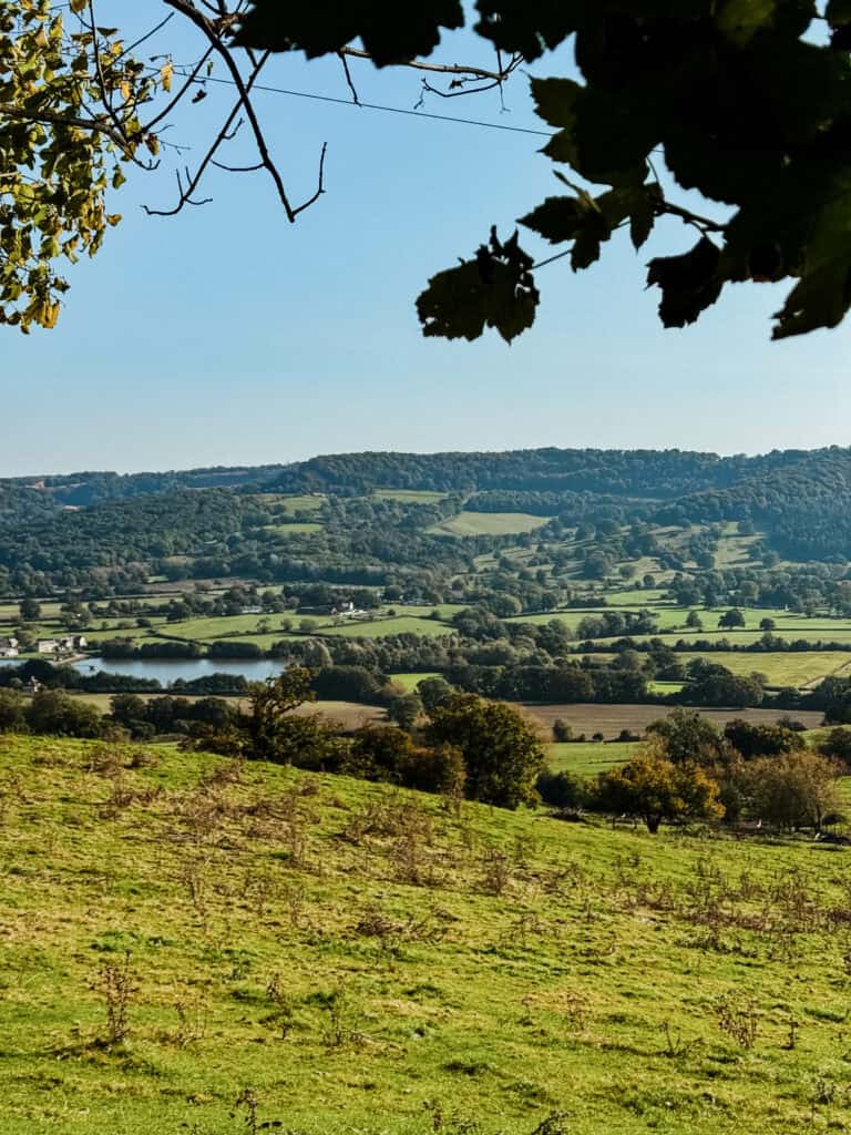
The Cotswold Way follows the western edge of the Cotswold escarpment, a limestone ridge that has shaped the geography and economy of the region for centuries. The trail passes through sites of immense historical value, including Neolithic long barrows, Iron Age hillforts, and medieval wool-trading centers. By utilizing ancient drovers’ roads and public footpaths, the trail acts as a living museum, offering hikers access to structures such as the Broadway Tower—a notable 18th-century folly—and the Roman remnants found throughout the city of Bath.
The route’s formal status as a National Trail is overseen by Natural England. This designation ensures that the path remains well-maintained and accessible, supported by a network of volunteers and local authorities dedicated to the preservation of the limestone grasslands and ancient woodlands that define the Cotswold environment.
Chronology of a Standard Trek

While the pace of travel is subject to individual fitness and interest in historical sites, the standard itinerary for completing the full 102-mile distance typically spans between seven and ten days. A representative ten-day itinerary, favored by those wishing to engage deeply with local culture and heritage, is structured as follows:
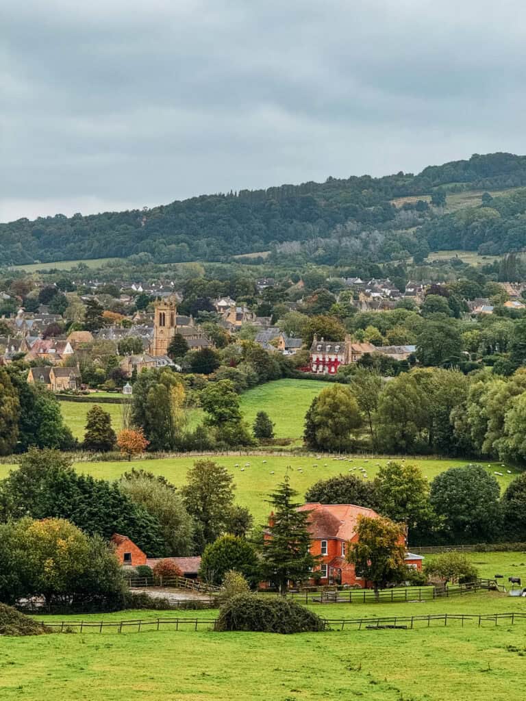
- Days 1-2: Commencing in Chipping Campden, the route proceeds through Broadway and toward Winchcombe. This section is characterized by steep inclines leading to high-elevation viewpoints.
- Days 3-5: The trail transitions through the spa town of Cheltenham and toward the elevated positions of Birdlip and Painswick. This segment is notable for its proximity to archaeological sites and ancient yew tree groves.
- Days 6-8: The route moves toward Stonehouse and Wotton-under-Edge, passing through forested sections and open agricultural land. Navigation in these areas requires adherence to marked signage due to the complexity of the rural landscape.
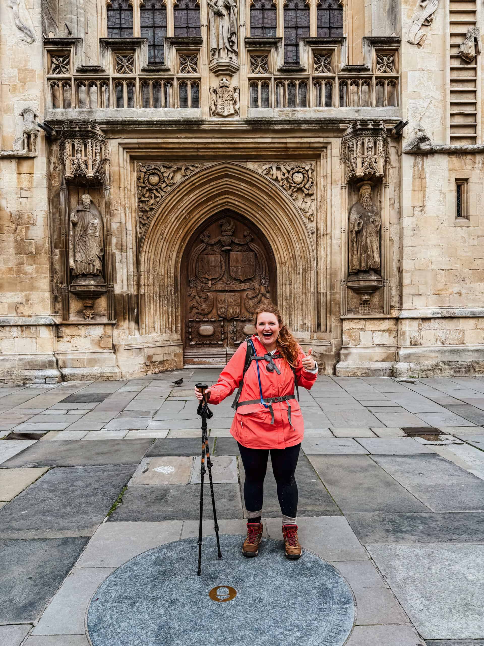
- Days 9-10: The final leg leads through Cold Ashton and concludes in the city of Bath, where the trail terminates near the historic Abbey.
Supporting Data and Physical Requirements

The Cotswold Way is categorized as a moderate-intensity trail. Despite the lack of technical climbing, the cumulative elevation gain over the 102-mile distance is substantial, totaling approximately 3,000 meters (roughly 10,000 feet). Consequently, physical preparation is a prerequisite for a safe and successful journey.
Recent data from the National Trails organization suggests that the average hiker covers between 10 and 15 miles per day. However, participants often report higher mileage due to off-trail excursions. For instance, deviations to visit sites such as Sudeley Castle or various manor houses can add significant distance to the primary route. Analysis of trail usage indicates that late spring (May) and early autumn (September/October) remain the most popular periods for traversal, as these months offer the most stable meteorological conditions and visibility.
Infrastructure and Logistics for 2026
The surge in popularity of domestic walking tourism has placed increased pressure on local infrastructure. As of 2025, regional tourism boards and accommodation providers in towns like Winchcombe and Painswick have noted a significant uptick in advance bookings for the 2026 season. Experts recommend that travelers finalize lodging arrangements three to six months in advance to ensure availability, particularly in smaller villages where supply is constrained by the limited number of inns and bed-and-breakfast establishments.
Logistical planning also involves the utilization of baggage transfer services. These services, which transport luggage between overnight accommodations, allow hikers to traverse the trail with lighter daypacks, thereby reducing physical fatigue and the risk of injury. Furthermore, the integration of digital mapping tools—such as GPX files and GPS-enabled applications—is increasingly standard practice, providing a necessary backup to traditional signage, which can occasionally be obscured by seasonal vegetation growth.
Fact-Based Analysis of Trail Implications

The ongoing management of the Cotswold Way presents a balance between public access and environmental conservation. Recent improvements to trail surfaces, particularly in high-traffic areas such as Haresfield Beacon and Standish Woods, were implemented to mitigate the impact of soil erosion caused by high footfall and poor drainage.
From an economic perspective, the trail serves as a vital corridor for rural income. Local businesses, including pubs, cafes, and small retail outlets, rely heavily on the seasonal influx of hikers. The "Cotswold Way Relay," an annual event held in June, further underscores the trail’s role as a community-focused resource, though it also necessitates temporary route diversions and requires hikers to check for potential closures during the event window.
Environmental and Safety Considerations
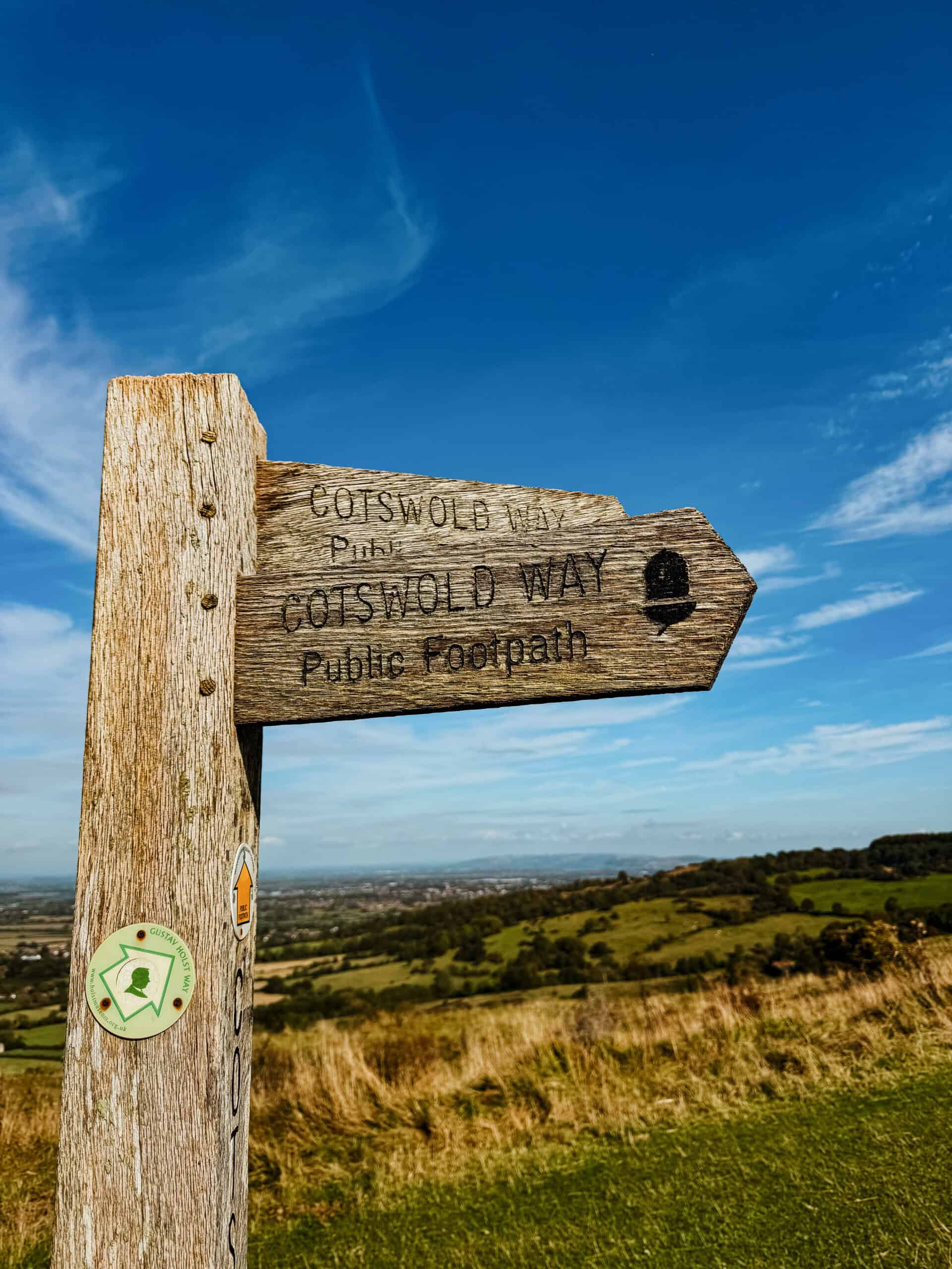
Hikers are advised to remain vigilant regarding trail diversions. Permanent and temporary closures can occur due to land management projects, agricultural activity, or severe weather conditions that impact trail stability. Official sources, including the National Trails website, provide real-time updates that are critical for planning.

Preparation should include a comprehensive assessment of gear. Essential items include high-quality, broken-in hiking footwear to prevent blisters, weather-appropriate layering for rapid changes in temperature, and sufficient hydration supplies. While the route passes through numerous villages, sections of the trail can be remote, and self-sufficiency remains a core tenet of long-distance trekking safety.
Broader Impact on Sustainable Tourism
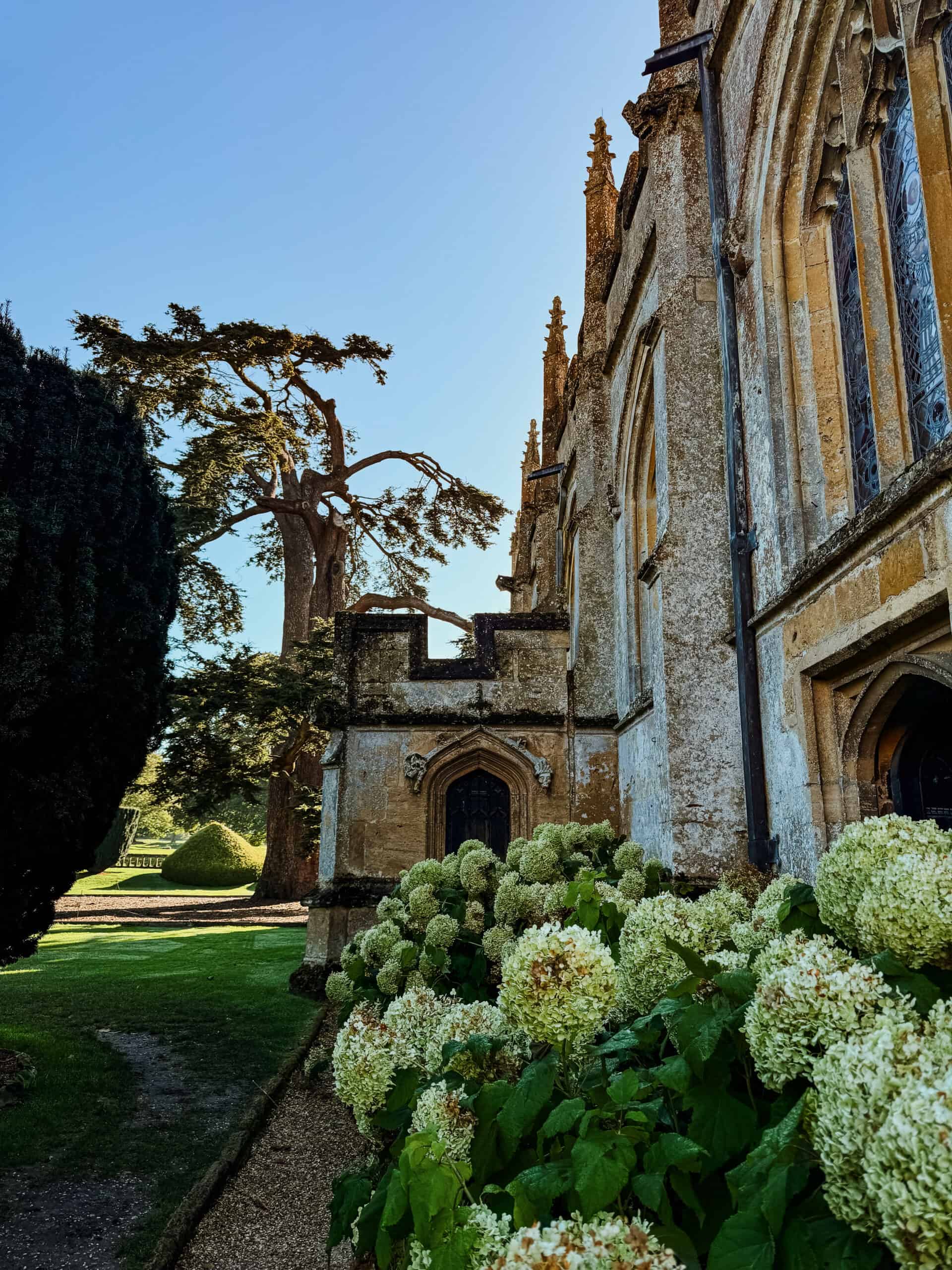
The Cotswold Way exemplifies a model of "slow tourism," where the primary objective is the engagement with the natural and historical environment rather than the speed of transit. By encouraging visitors to explore the trail on foot, the initiative supports the preservation of rural traditions and reduces the carbon footprint associated with more conventional forms of tourism.
Furthermore, the integration of the trail into the broader network of UK National Trails facilitates a cohesive approach to biodiversity and landscape management. As regional authorities continue to invest in the trail’s maintenance and digital infrastructure, the Cotswold Way is expected to maintain its status as a premier destination for both domestic and international outdoor enthusiasts.

Conclusion
The Cotswold Way offers a structured, yet immersive, experience for those seeking to understand the historical and natural identity of southwest England. Success on the trail is contingent upon thorough planning, physical preparation, and an understanding of the environmental and logistical realities of the region. As 2026 approaches, the combination of early booking and reliance on official, up-to-date information will remain the defining factors for a successful traversal of this historic route. Through careful navigation of its rolling hills and ancient paths, hikers can engage with a landscape that remains one of the most significant cultural corridors in the United Kingdom.