Exploring Golden Bay: A Comprehensive Travel and Regional Analysis of New Zealand’s Northern South Island

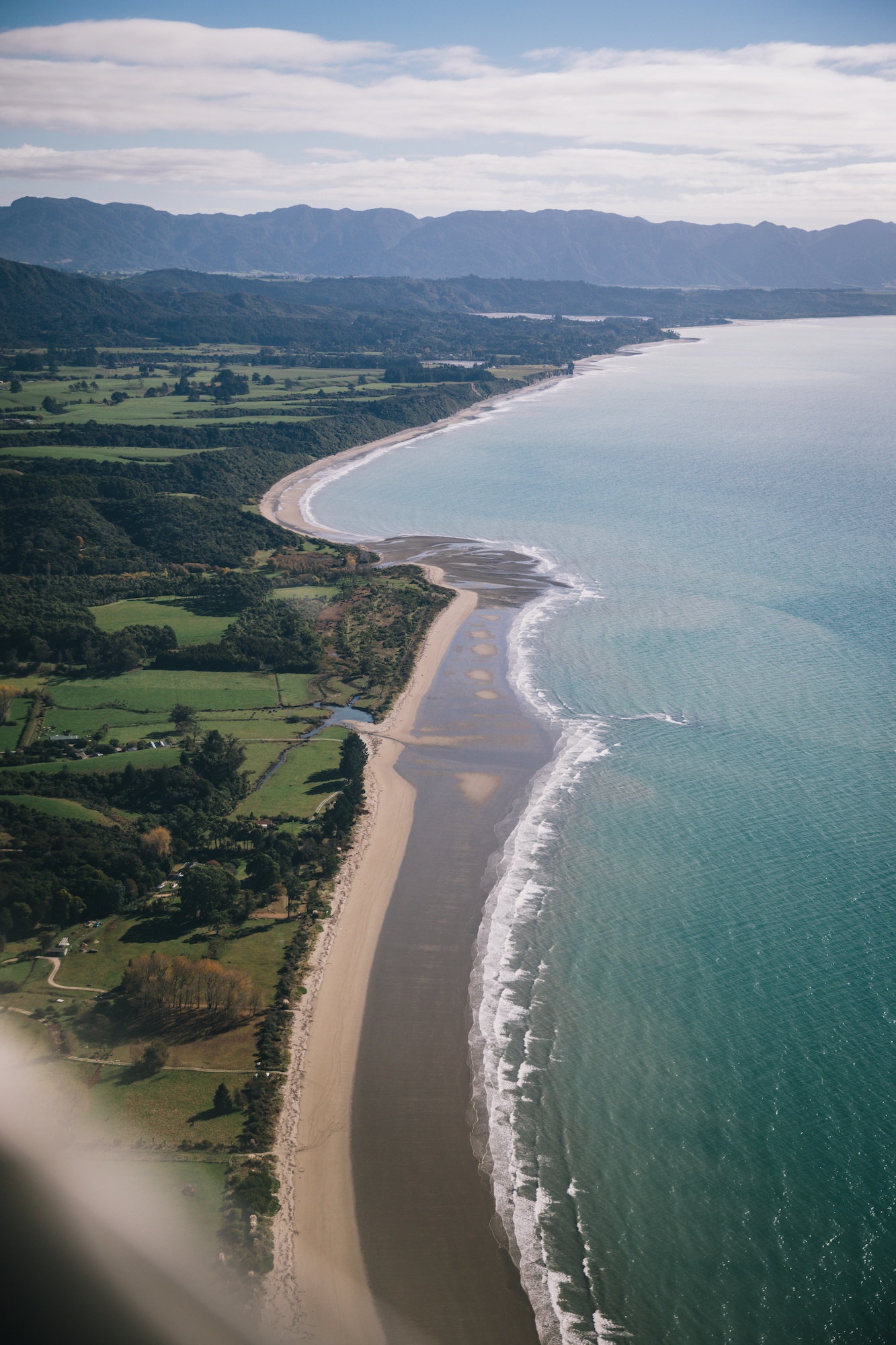
Golden Bay, situated at the northern extremity of New Zealand’s South Island, represents a distinct geographical and socio-economic enclave that contrasts sharply with the country’s southern alpine regions. Bounded by the Abel Tasman National Park to the east and the 26-kilometer-long Farewell Spit to the west, the region forms a crescent shape that remains geographically isolated from major metropolitan centers. Recent travel assessments and infrastructure reviews highlight the area’s unique ecological profile, distinct community dynamics, and ongoing logistical challenges that continue to shape its appeal to visitors and residents alike.

Geographical Context and Isolation
The topographical isolation of Golden Bay is largely defined by Takaka Hill, a limestone mountain pass separating the bay from Motueka and the broader Nelson-Tasman region. Featuring hundreds of sharp turns and steep elevation drops, the highway over Takaka Hill has historically served as the primary vehicular conduit into the area. Meteorological data indicates that Golden Bay enjoys one of the highest sunshine hour averages in New Zealand, fostering a microclimate favorable to independent agriculture, boutique horticulture, and organic farming.
Logistics and Regional Transport Infrastructure

Access to the region has traditionally relied on the state highway network traversing Takaka Hill, a route vulnerable to weather-related disruptions. In recent years, regional transport has been augmented by localized carriers such as Golden Bay Air, which provides regional flights and multi-modal logistical support connecting remote tracks—such as the Heaphy Track—with regional airports. This air-to-ground infrastructure facilitates eco-tourism and minimizes the reliance on protracted vehicular transits across the South Island. Local authorities and transport agencies continually evaluate the resilience of the Takaka Hill corridor, particularly following significant storm damage that necessitated long-term traffic management solutions.
Ecological Significance and Marine Conservation

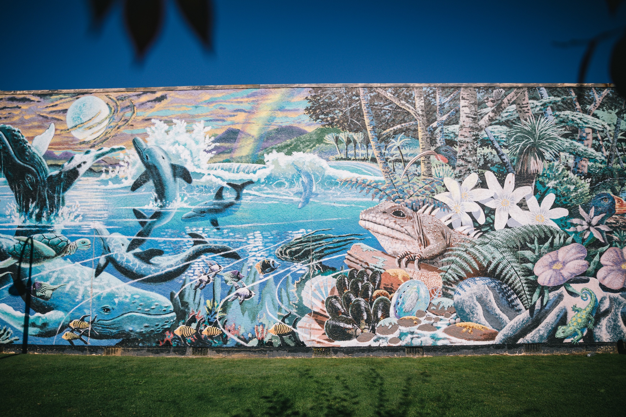
Golden Bay and its surrounding coastal features occupy a critical space in New Zealand’s marine conservation landscape. Farewell Spit, a Ramsar-designated wetland of international importance, serves as a vital habitat for migratory wading birds. However, the geological configuration of the spit—characterized by gently sloping sand flats and strong tidal flows—also renders it a recurring site for mass marine mammal strandings, predominantly involving pilot whales.

Conservation organizations, including Project Jonah and the Department of Conservation (DOC), maintain active monitoring and response protocols in the area. Historical incidents, such as the major stranding events recorded over the past decade involving hundreds of pilot whales, have driven increased research into navigational hazards and geomagnetic factors contributing to these ecological emergencies. These events have profoundly influenced national marine mammal conservation strategies and prompted enhanced community-led response capabilities in the top of the South Island.
Socio-Economic Dynamics and Local Enterprise

The demographic and economic structure of Golden Bay is characterized by a high concentration of independent growers, artists, and conservation-minded residents. The region’s economy relies heavily on sustainable agriculture, aquaculture—notably the cultivation of green-lipped mussels (Perna canaliculus)—and low-impact tourism. The prevalence of unstaffed roadside fruit stalls utilizing honesty systems reflects a community ethos rooted in localized trust and regional self-sufficiency.
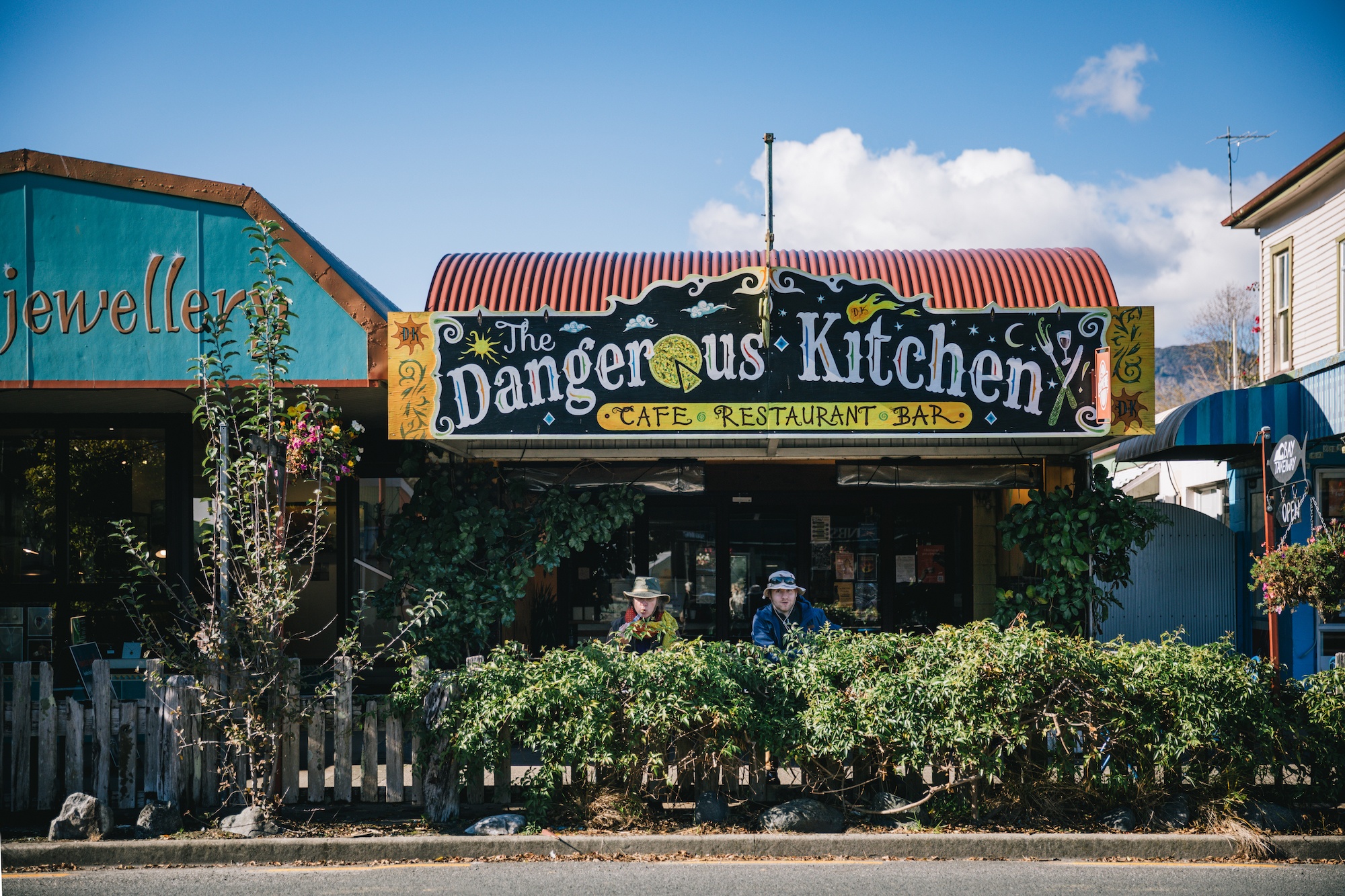
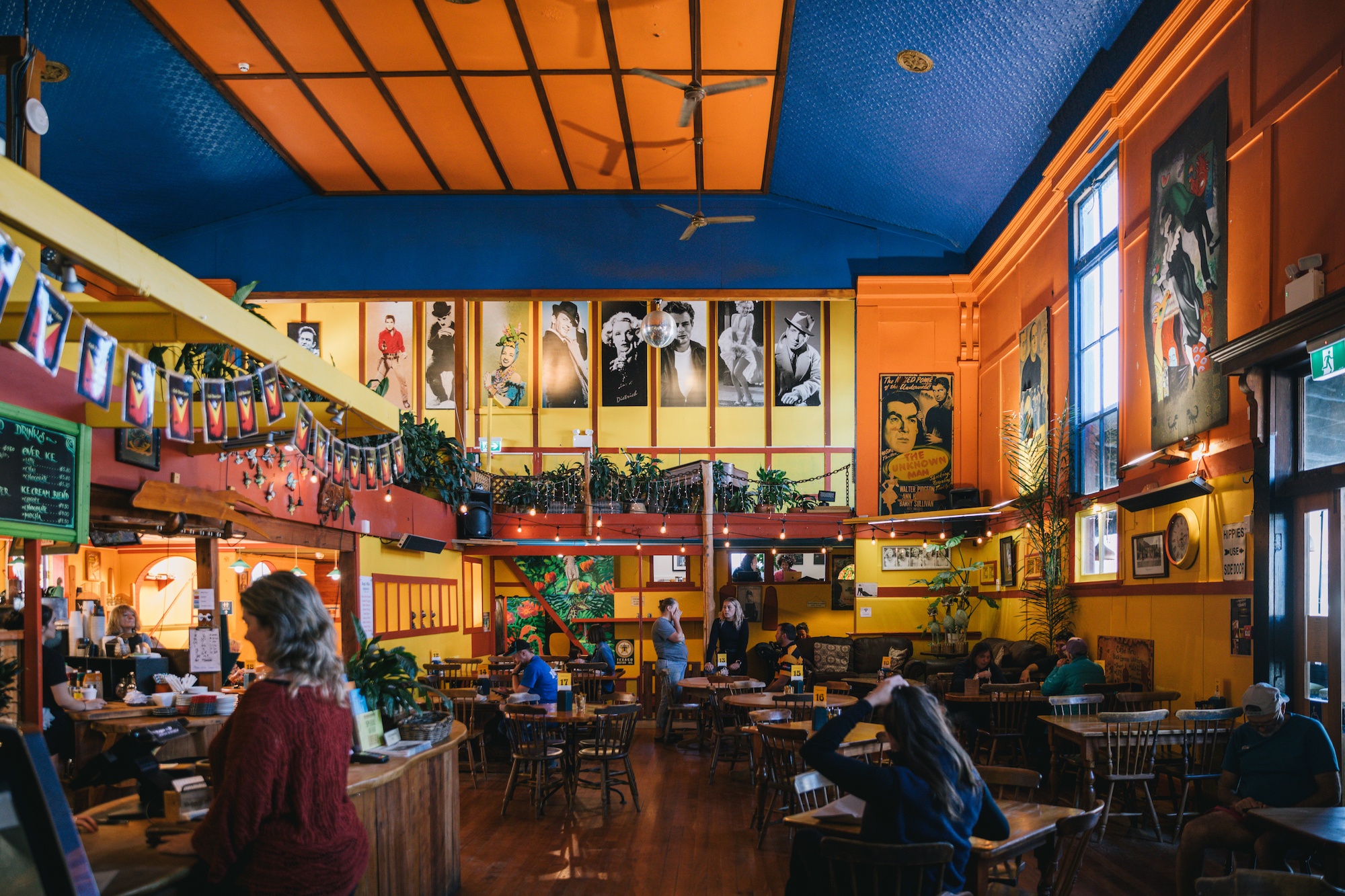
Tourism development in the area emphasizes low-density accommodations, glamping initiatives, and heritage hospitality ventures, such as the historic Mussel Inn and specialized eco-retreats. These enterprises align with national tourism strategies aimed at promoting regional dispersal and sustainable visitor practices away from congested southern hotspots like Queenstown and Wanaka.

Geological Formations and Water Resources

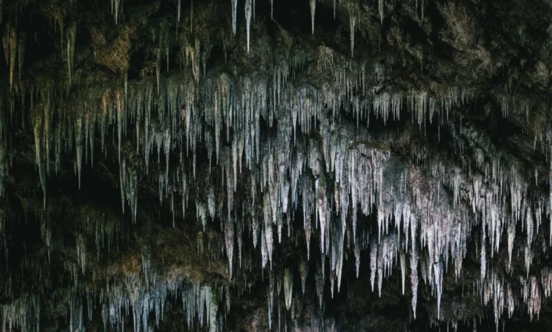
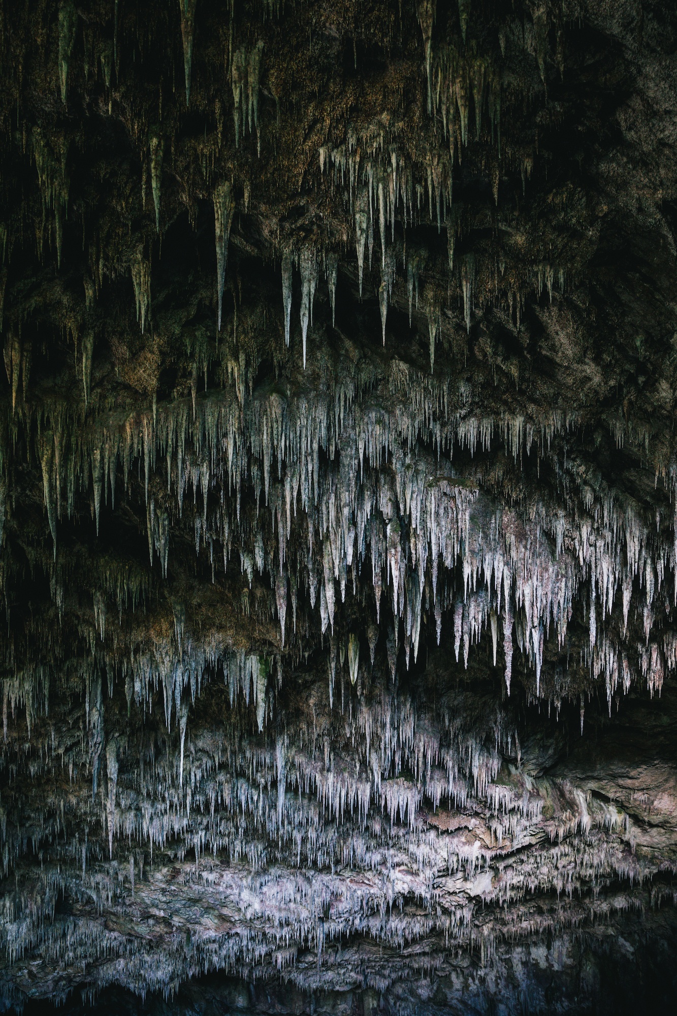
The Nelson-Tasman region, including Kahurangi National Park and the approaches to Takaka, contains some of New Zealand’s most extensive cave systems and karst topography. Notable sites such as Rawhiti Cave feature complex stalactite formations supported by unique microclimates.

Furthermore, the region hosts the Te Waikoropupū Springs (Pupu Springs), recognized as the largest cold-water springs in the Southern Hemisphere. Hydrological studies confirm that the springs possess some of the highest water clarity levels recorded globally, with horizontal visibility exceeding 80 meters. Regarded as a taonga (treasure) by local Māori iwi and protected under stringent conservation orders, public access is strictly managed via boardwalks to preserve the pristine ecological state of the water body.

Broader Implications for Regional Development

The interplay between isolation, environmental preservation, and community resilience in Golden Bay offers valuable insights into regional planning within New Zealand. As domestic and international tourism patterns evolve, the demand for off-the-grid, nature-based travel experiences continues to grow. Balancing increased visitor access with the protection of fragile ecosystems like Farewell Spit and Te Waikoropupū Springs remains a primary objective for local governance bodies, environmental agencies, and the tourism sector.