Conquering New Zealand’s Longest Great Walk: A Comprehensive Guide and Expedition Review of the Heaphy Track

The New Zealand Department of Conservation administers ten premier routes designated as Great Walks, showcasing the country’s most dramatic topography, diverse ecosystems, and rigorous backcountry infrastructure. Among these, the Heaphy Track stands out as the longest continuous walking route within the network, stretching 84 kilometers across the northwestern corner of the South Island’s Kahurangi National Park. For outdoor enthusiasts and long-distance hikers, completing the circuit requires navigating significant logistical challenges, primarily driven by the vast geographic separation between the trailheads.
Logistical Constraints and Transportation Solutions
The primary obstacle preventing many independent hikers from attempting the Heaphy Track is the formidable distance between its entry and exit points. Situated between the West Coast trailhead at Karamea and the northern terminus at Brown Hut near Takaka, the route spans a distance that requires a seven-hour vehicular drive to bridge upon completion. For solo travelers, this creates a complex logistical hurdle involving costly vehicle relocation services, which can exceed hundreds of dollars, compounded by high domestic fuel prices.
To mitigate these barriers, regional transportation providers such as Golden Bay Air have established integrated air and shuttle networks specifically tailored for trampers. By utilizing small-aircraft flights between local airstrips in Karamea and Takaka alongside connecting ground shuttles, hikers can circumvent up to 450 kilometers of driving. This streamlined approach eliminates the need for expensive vehicle relocation services, aligns transit schedules with backcountry itineraries, and provides a viable framework for independent adventurers to access remote trailheads efficiently.
Trail Profile, Terrain, and Infrastructure
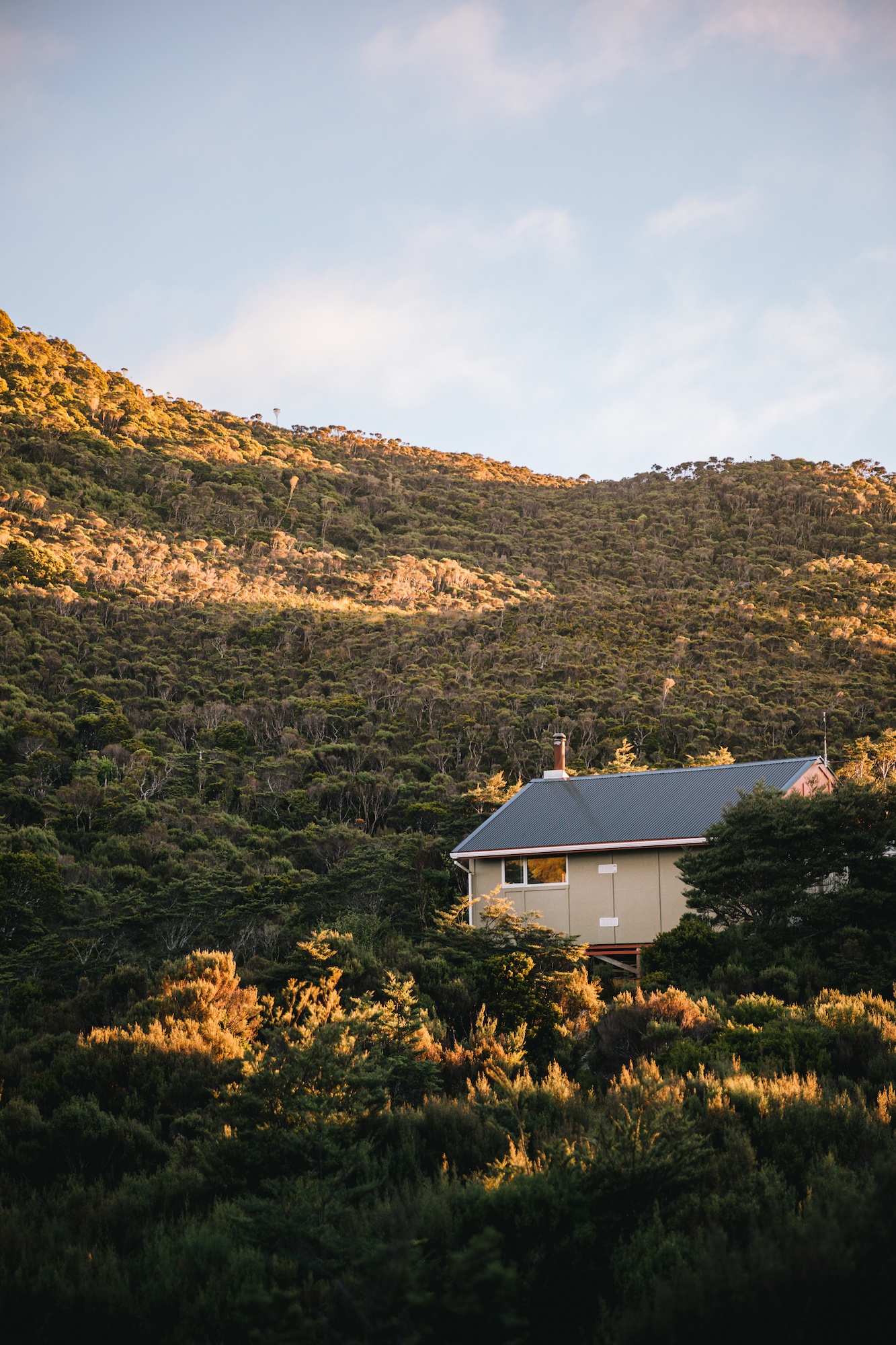
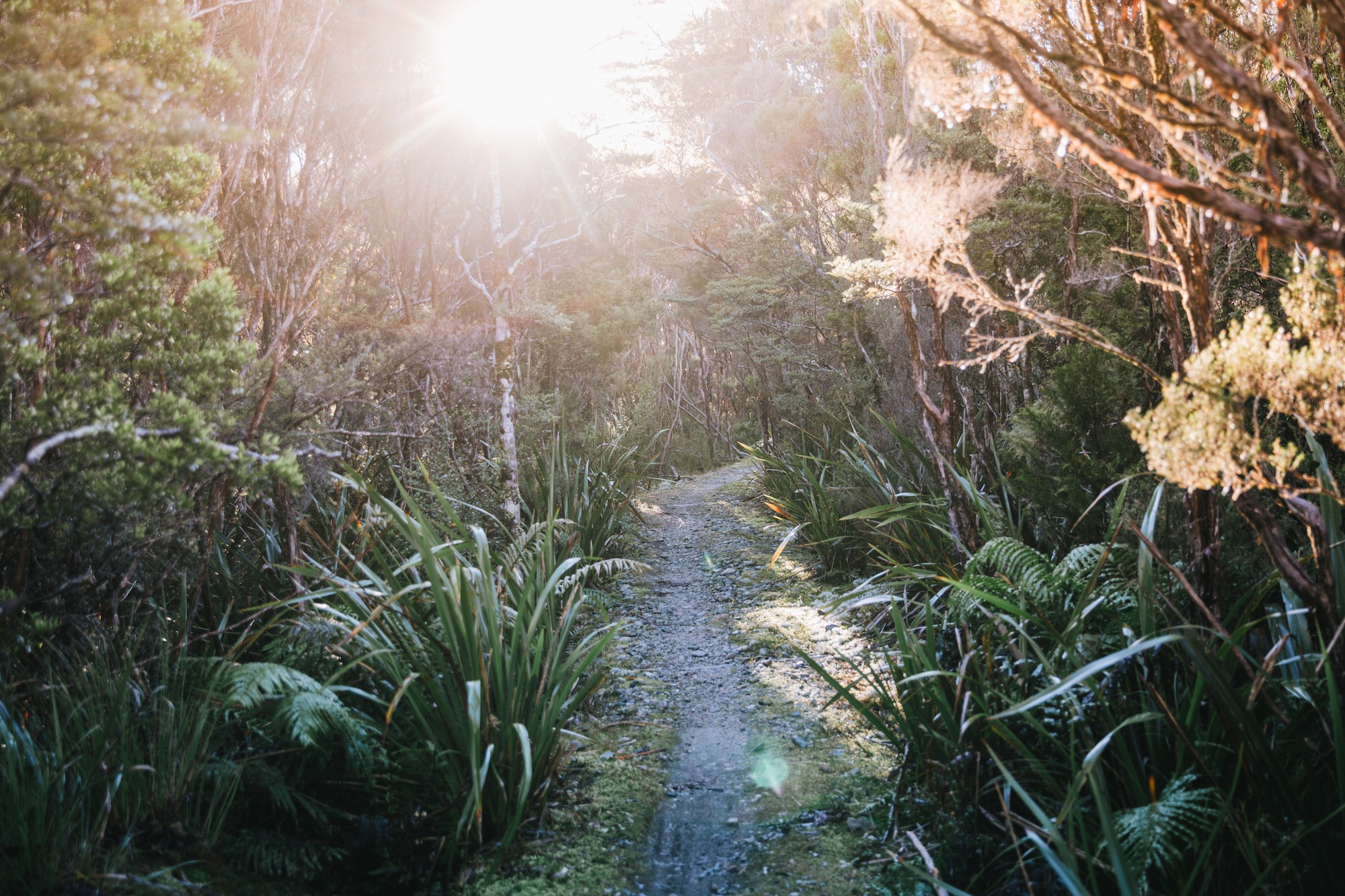
Spanning 84 kilometers through Kahurangi National Park, the Heaphy Track is traditionally traversed over a four-day period, with daily segments averaging between 16 and 25 kilometers. Unlike many traditional New Zealand backcountry routes characterized by steep ascents, root-bound paths, and technical rock scrambles, the Heaphy Track features a remarkably gradual elevation profile. Although the trail reaches a maximum altitude of approximately 1,000 meters, the ascent is distributed across expansive distances, resulting in a gentle gradient that avoids severe vertical climbs.
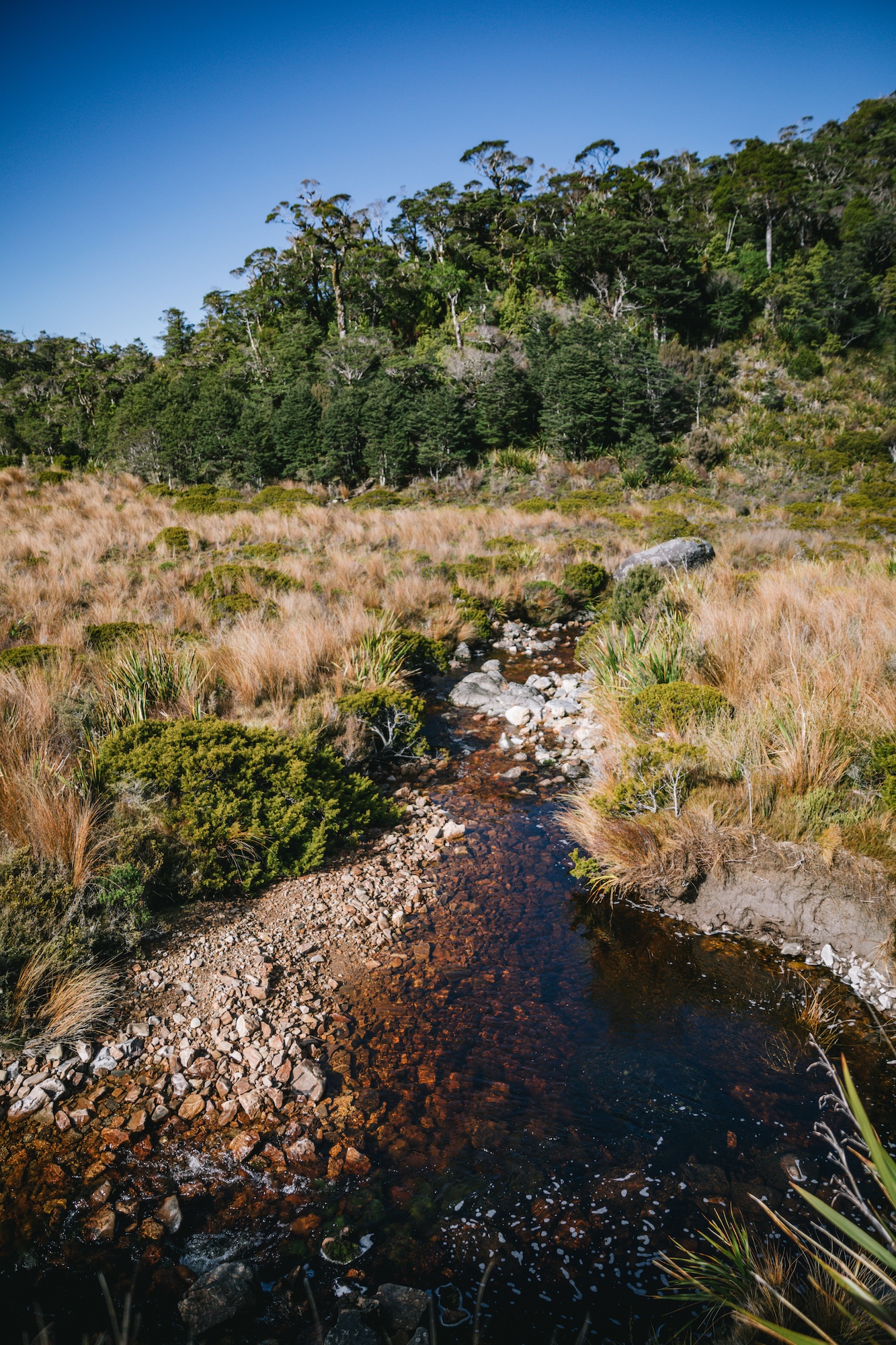
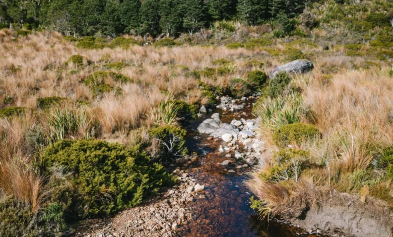
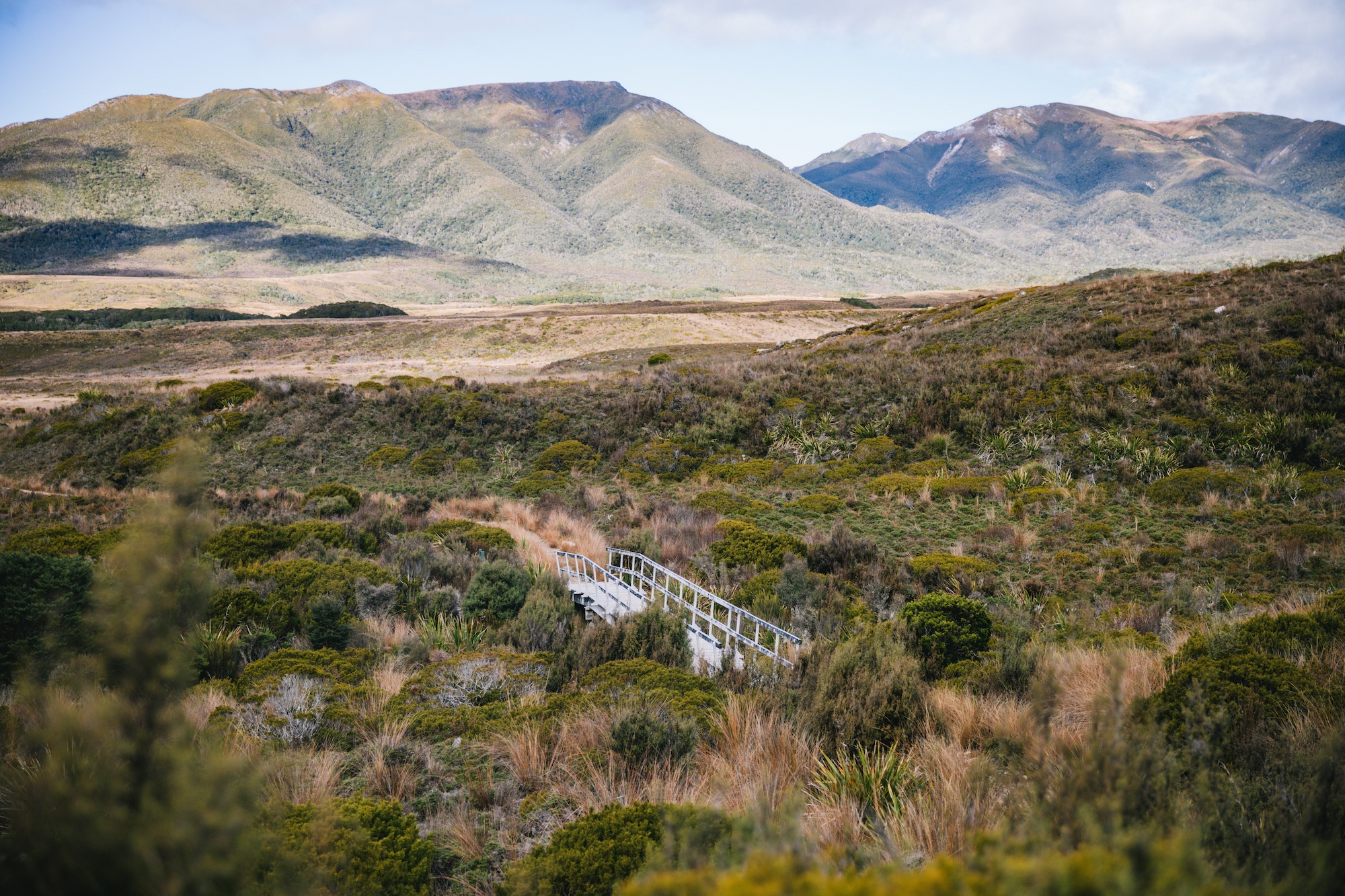
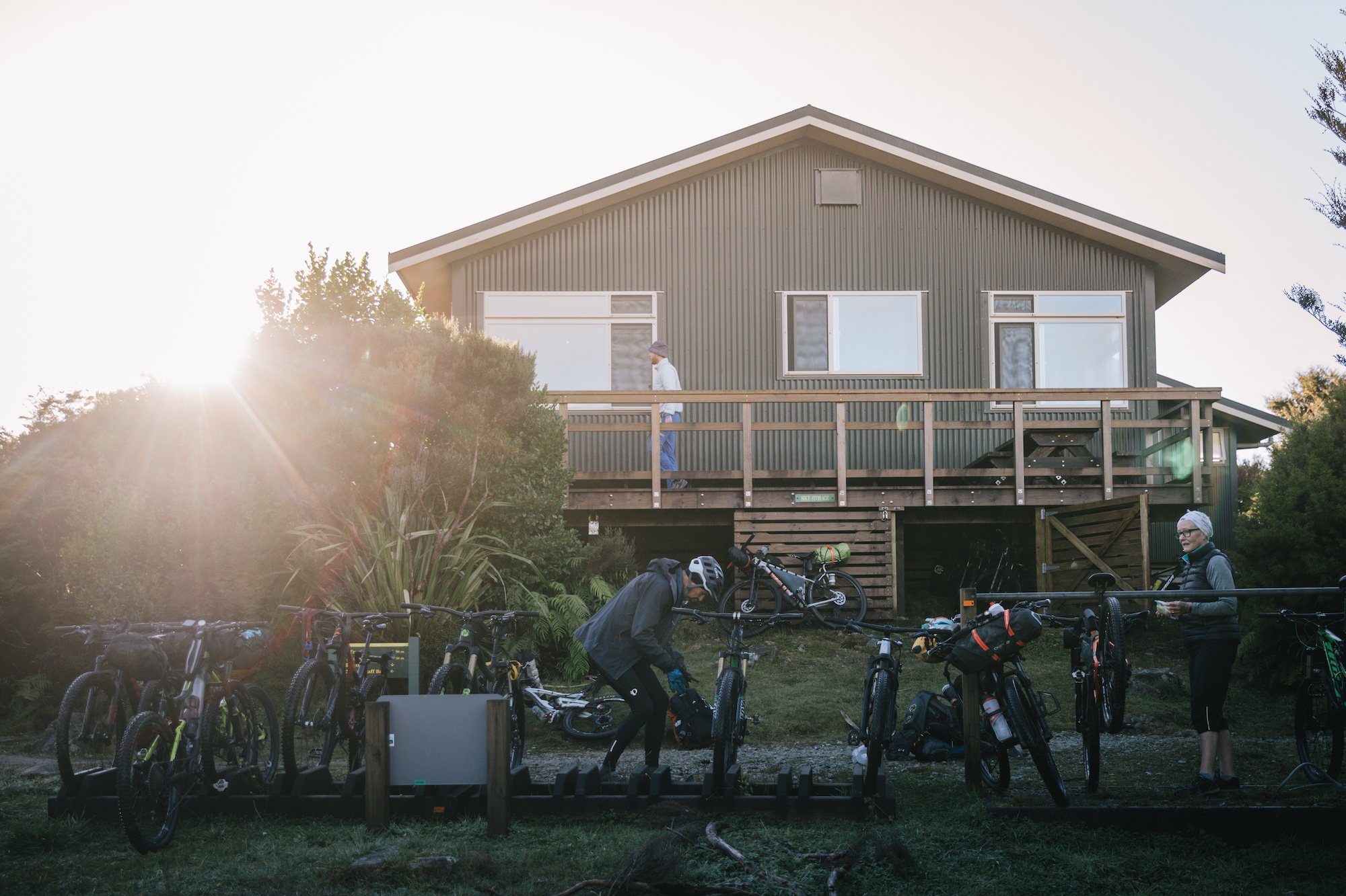
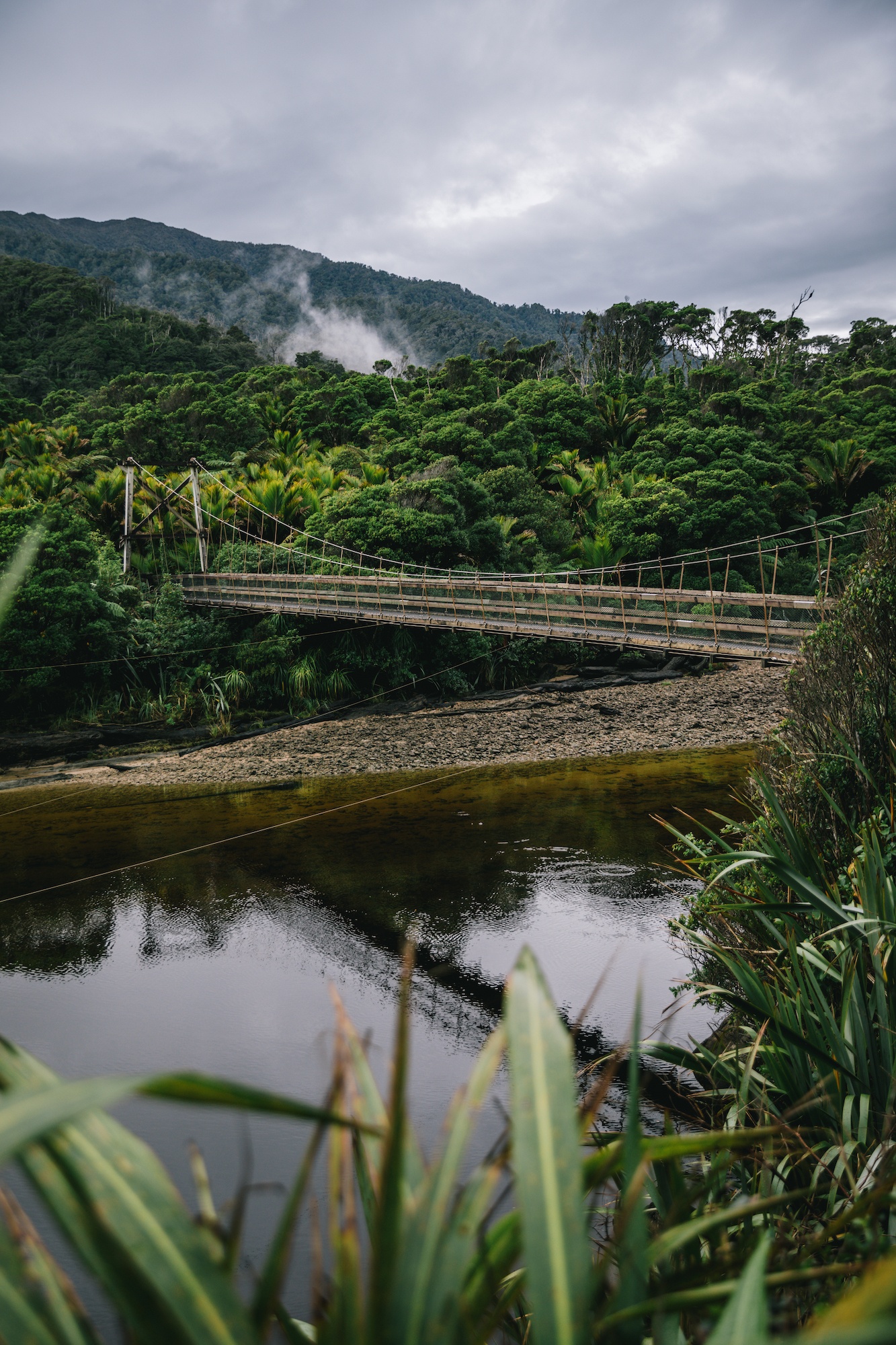
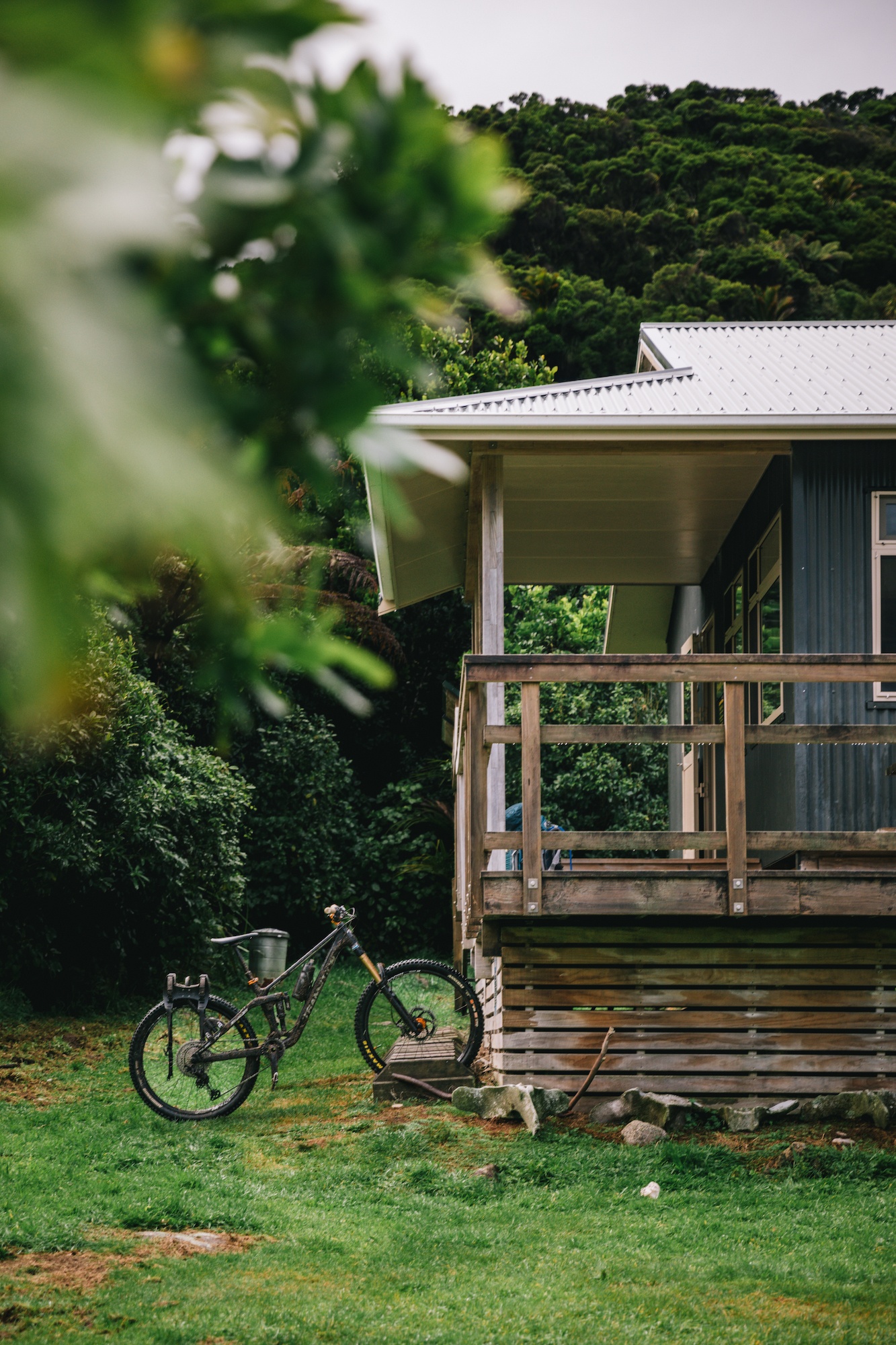
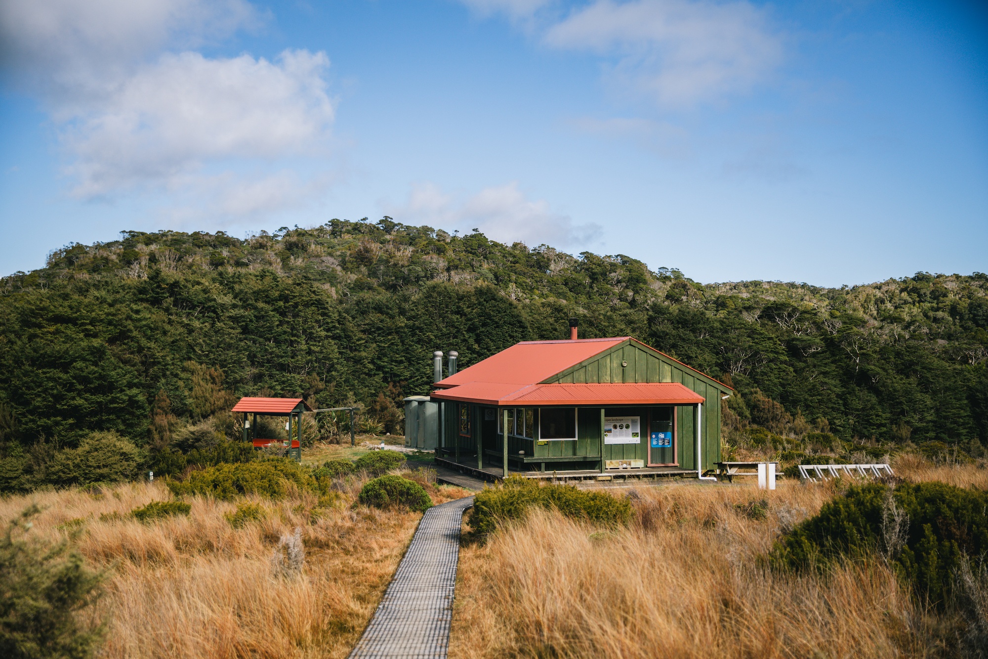
Infrastructure along the route reflects Department of Conservation standards for Great Walks, featuring well-maintained gravel pathways, extensive bridging over watercourses, and large, fully serviced backcountry huts equipped with bunk rooms, heating, and running water. Because a portion of the track is legally designated for mountain biking from May 1st through November 30th annually, trail maintenance standards remain exceptionally high, prioritizing wide, navigable pathways over rugged wilderness scrambling. Additionally, water sources along the route—frequently stained brown by natural organic tannins from decaying forest foliage—are certified safe for consumption following basic filtration or standard treatment protocols.
Biodiversity and Ecological Conservation
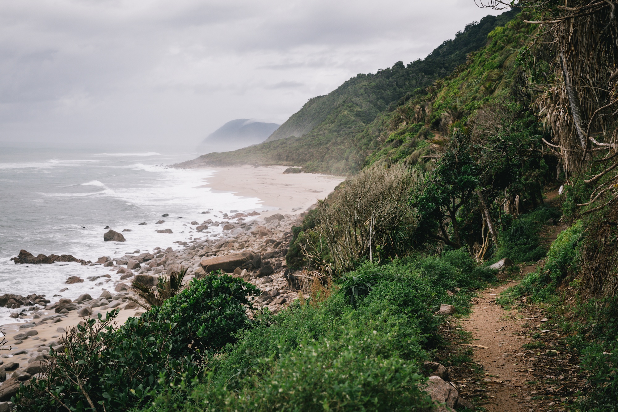
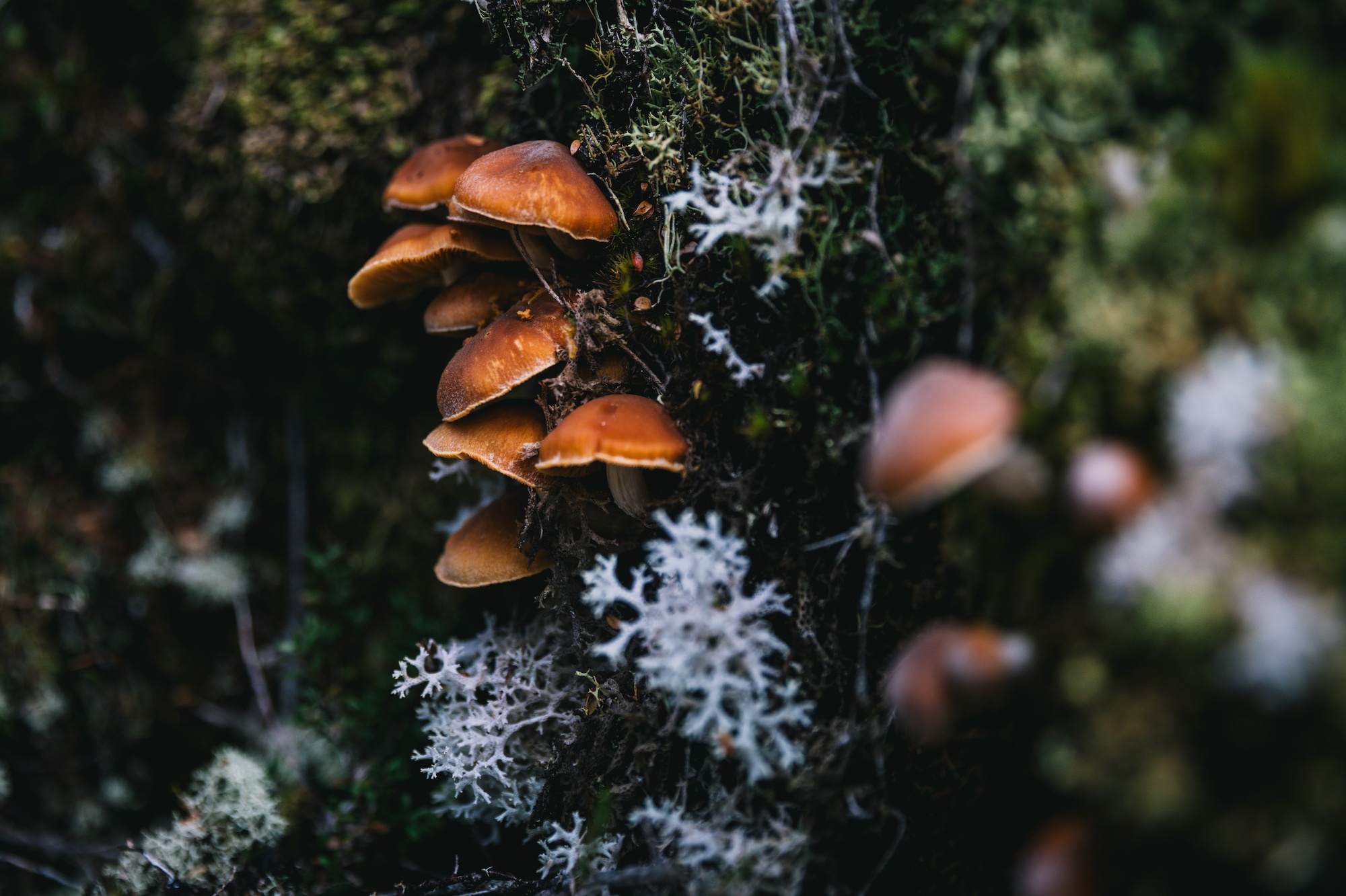
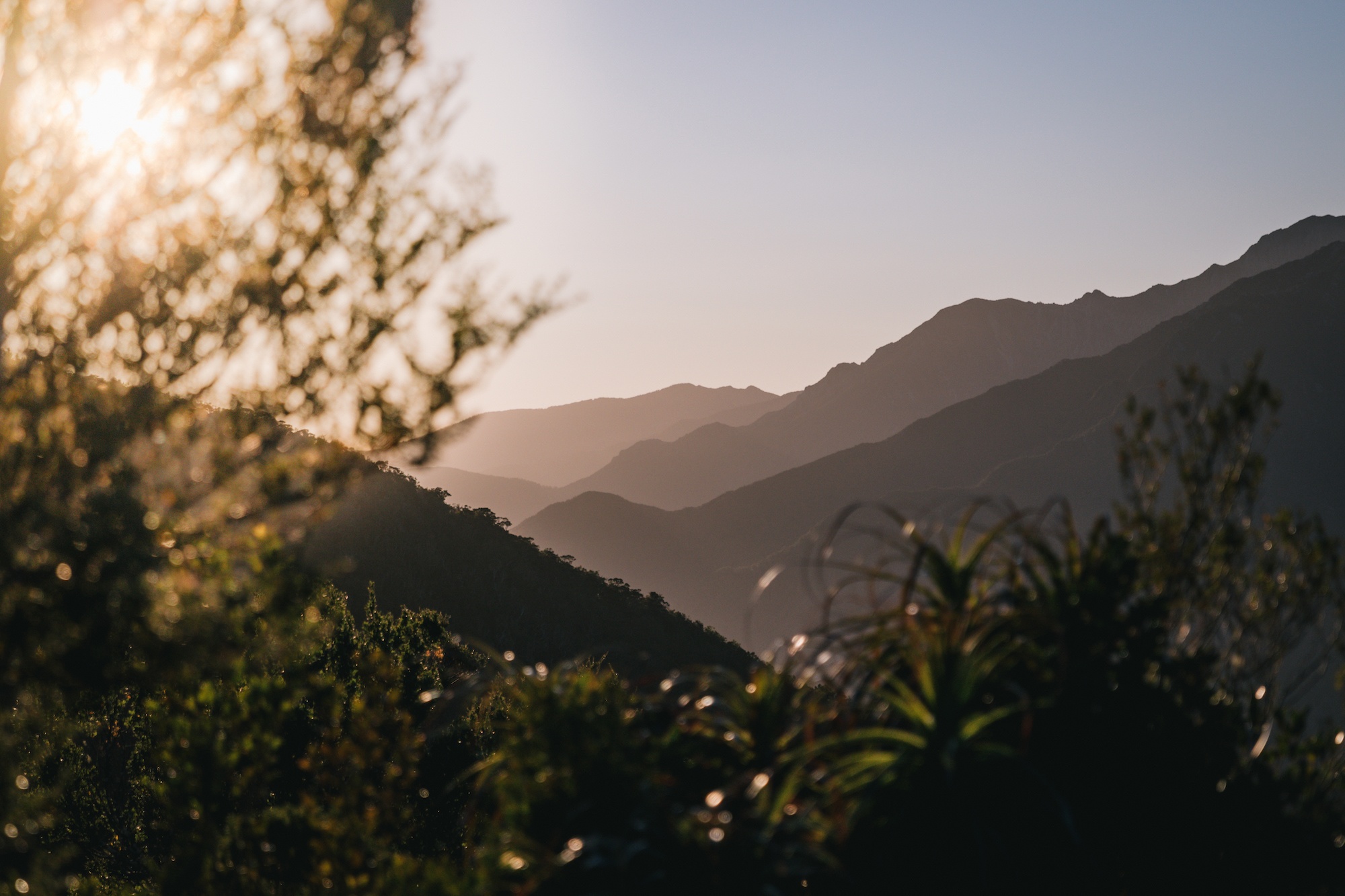
Kahurangi National Park is internationally recognized for its extraordinary ecological diversity, transitioning swiftly from humid, subtropical coastal environments lined with nikau palms on the West Coast to temperate beech forests and expansive subalpine red tussock grasslands in the interior. This wide range of microclimates supports a dense concentration of native and endemic New Zealand fauna, heavily bolstered by intensive regional predator control initiatives managed by conservation authorities.
The sustained reduction of introduced mammalian predators, including stoats, possums, and rats, has yielded significant recoveries in native bird populations. Hikers frequently encounter rare and protected species along the corridor, including the brown kiwi, takahe, whio (blue duck), kea, tui, bellbirds, and riflemen. Furthermore, the park serves as a primary habitat for the Powelliphanta, a genus of giant carnivorous land snails unique to New Zealand, which feed primarily on native earthworms in the damp forest floor litter.
The Reintroduction of the Takahē
A central milestone in the ecological management of Kahurangi National Park was the historic reintroduction of the endangered takahe (Porphyrio hochstetteri) in 2018. Once presumed extinct for five decades until a surviving wild population was rediscovered in the Murchison Mountains of Fiordland in 1948 by Dr. Geoffrey Orbell, the large, flightless blue rail remains one of the world’s rarest avian conservation success stories.

Prior to the 2018 release, the national population was strictly managed within secure, predator-free offshore islands and fenced mainland sanctuaries. The establishment of a second wild population in Kahurangi National Park represented a critical expansion phase for the Takahe Recovery Programme, aiming to restore the species to its historical alpine and grassland habitats. Conservation data indicates that the national population has steadily grown to approximately 500 individuals, reflecting decades of cross-sector collaboration between government agencies, iwi, and conservation volunteers. Sightings of takahe near alpine huts along the Heaphy Track serve as a measurable indicator of successful habitat restoration, validating ongoing landscape-scale predator management strategies.
Safety, Preparation, and Risk Management
While the Heaphy Track lacks the severe avalanche hazards associated with higher-altitude alpine routes in the Southern Alps, environmental volatility remains a constant factor in Kahurangi National Park. Rapid weather shifts can induce heavy rainfall, leading to localized river flooding and temporary trail closures. Consequently, Department of Conservation protocols mandate that all trampers carry comprehensive weather-resistant gear, adequate provisions for unexpected delays, and reliable emergency communication devices.
Mountain Safety Council representatives strongly encourage all backcountry users to carry a Personal Locator Beacon (PLB). In the event of a life-threatening injury or incapacitation, the transmission of GPS coordinates via a PLB significantly reduces search and rescue response times, mitigating risks for emergency personnel operating in remote terrain. Adherence to these preparedness guidelines ensures that recreational access remains sustainable while safeguarding public safety across New Zealand’s premier conservation estates.